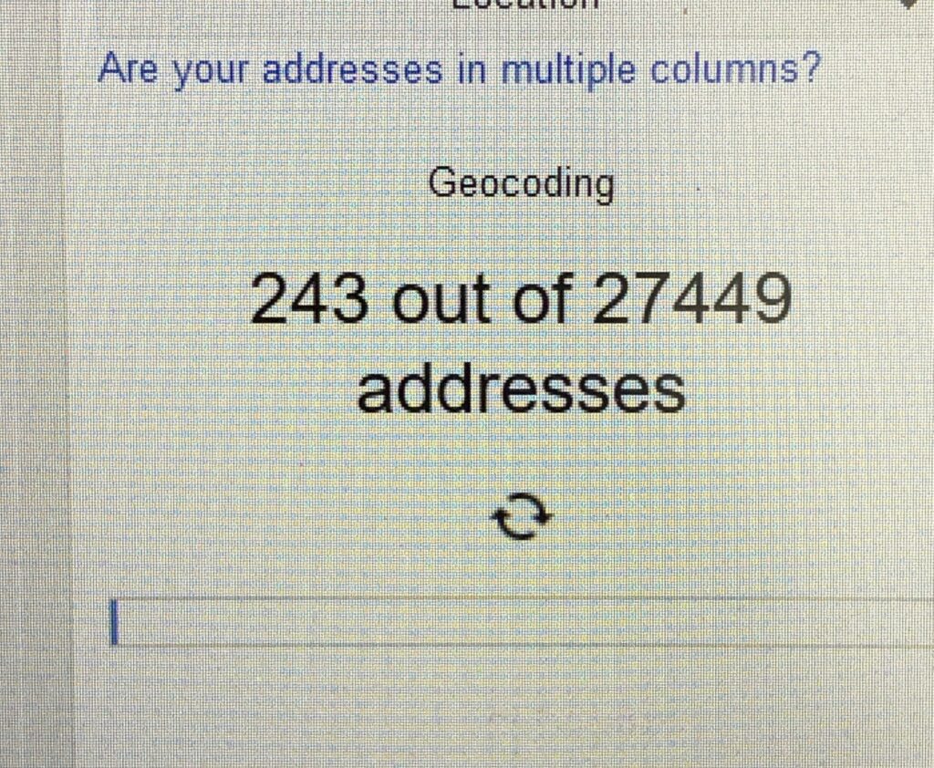
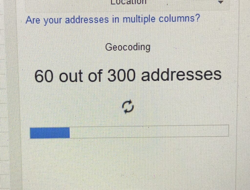
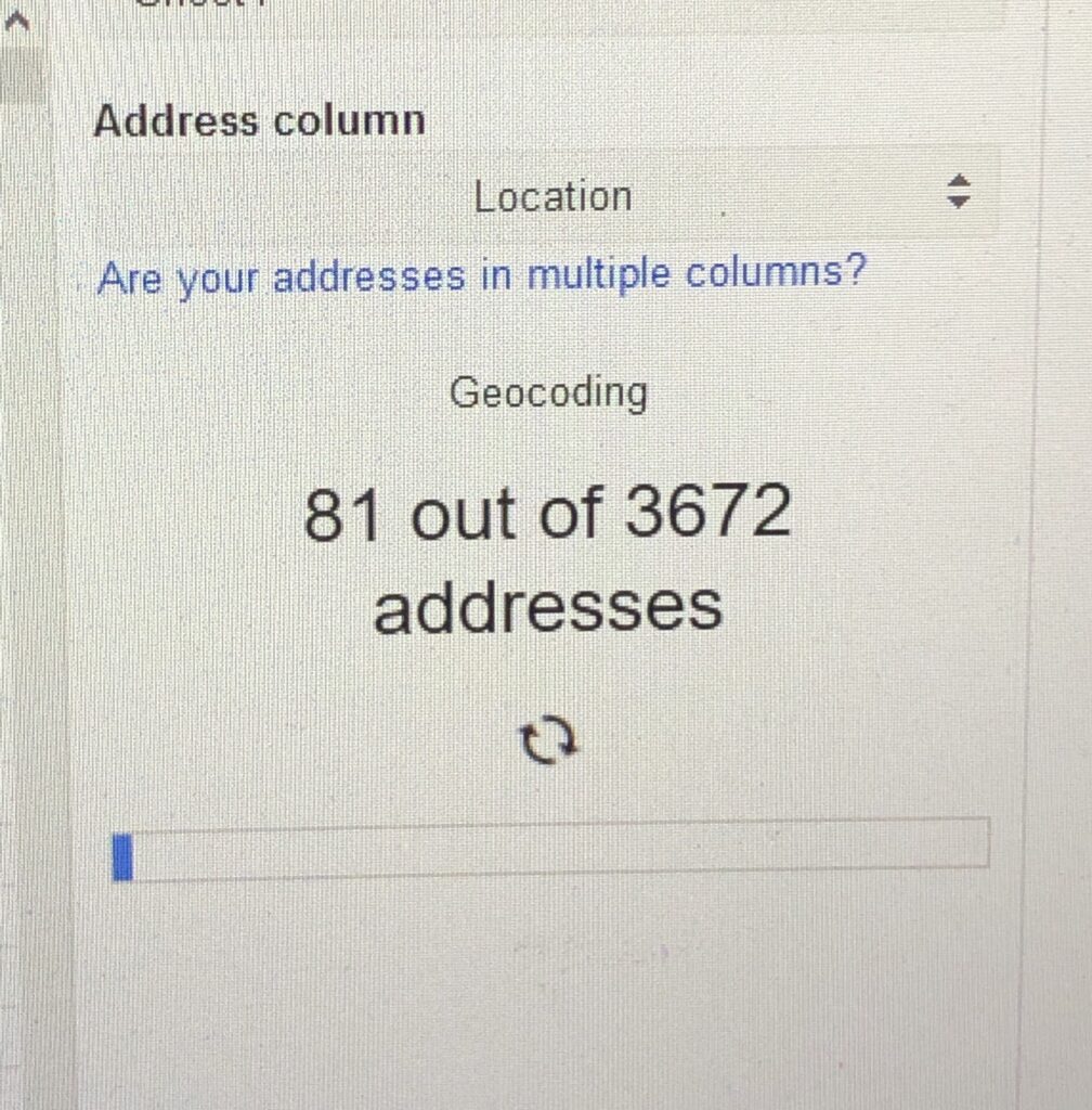
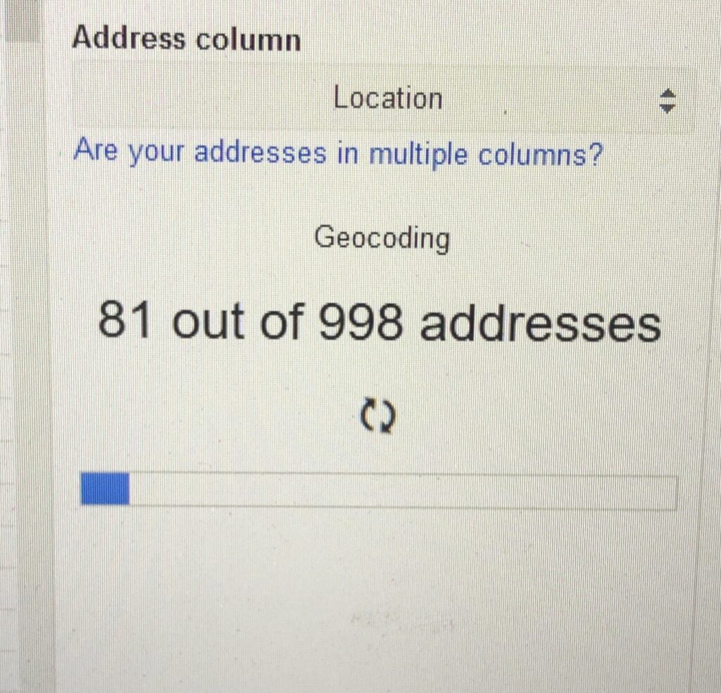
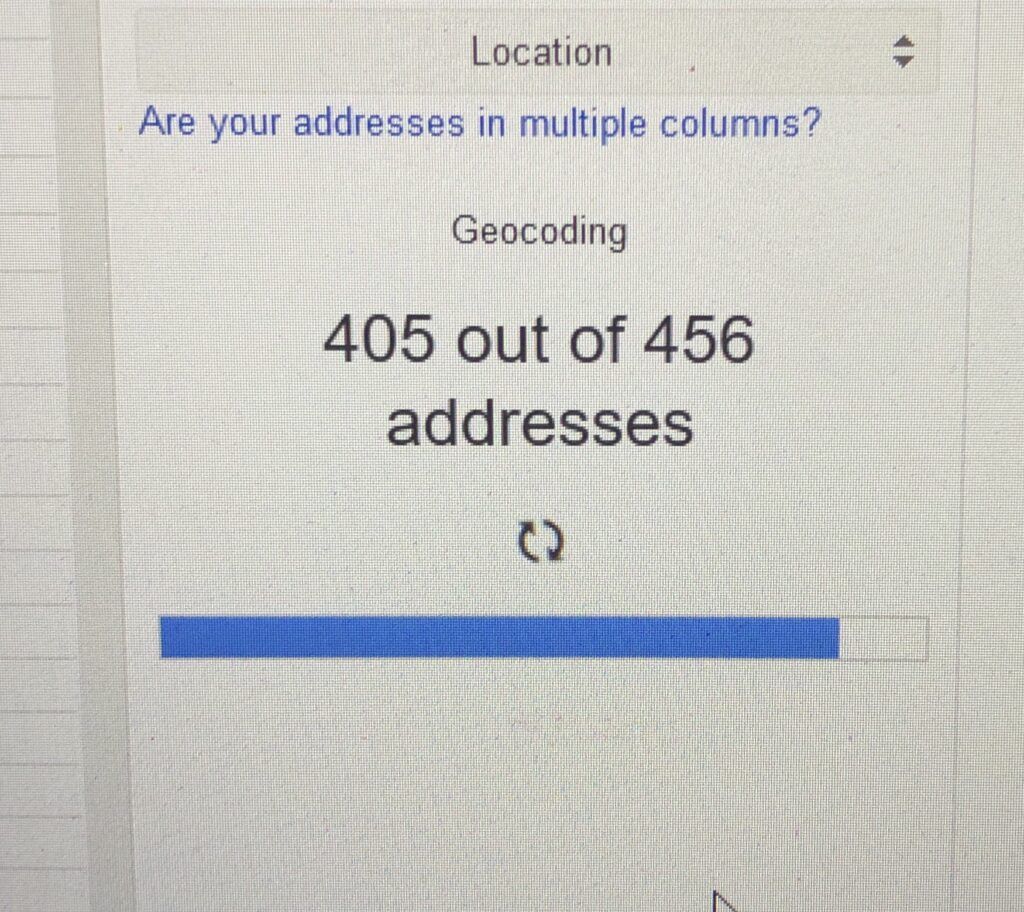
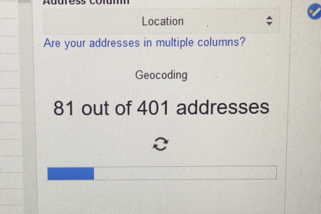
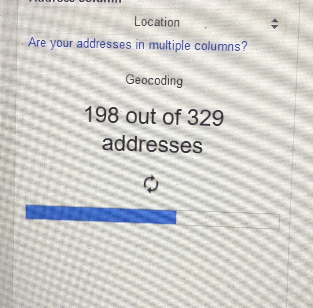
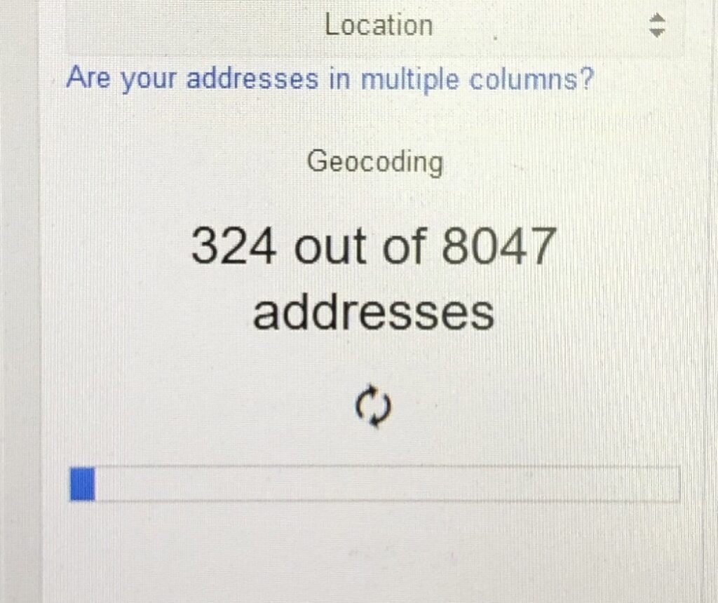
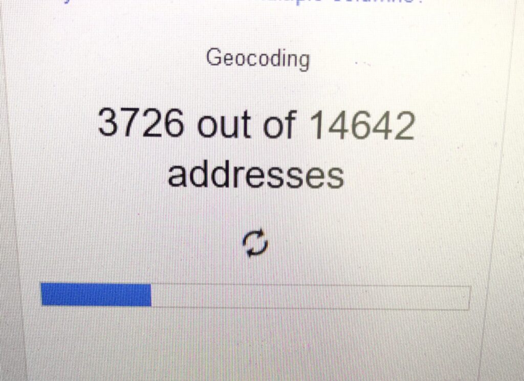
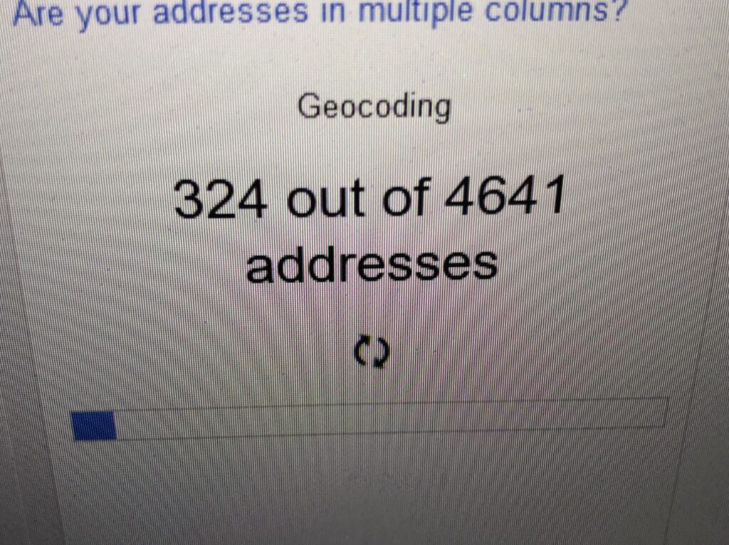
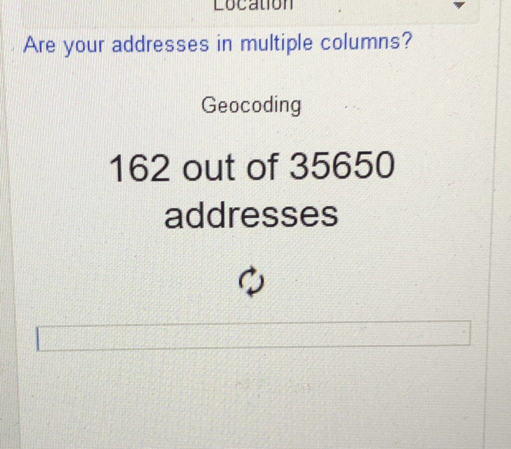
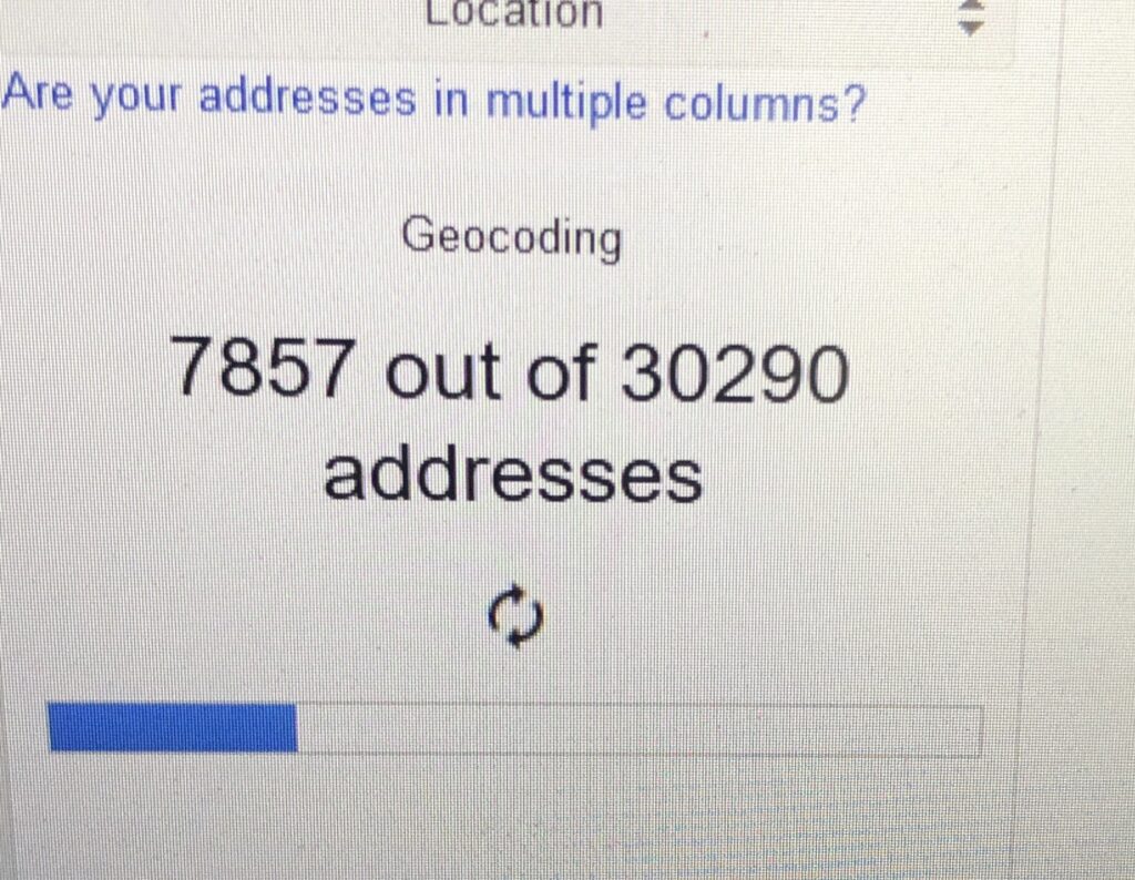
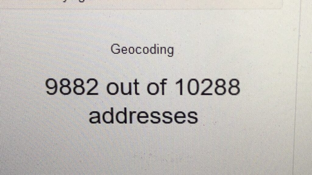
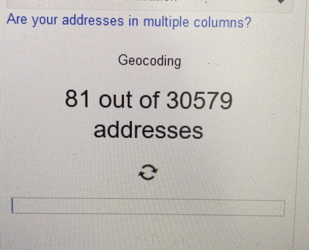
Overwhelmed with Covid-19 spatial data mining, then I realized that the next step will going to take some time. Can you guess how long does it take to complete the geocoding process? Or do you mind to share which platform perform better? I’ve geocoded 200,000++ addresses.
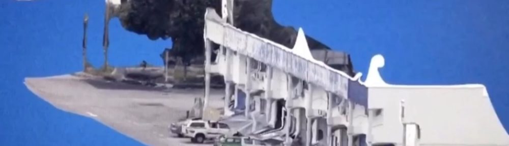
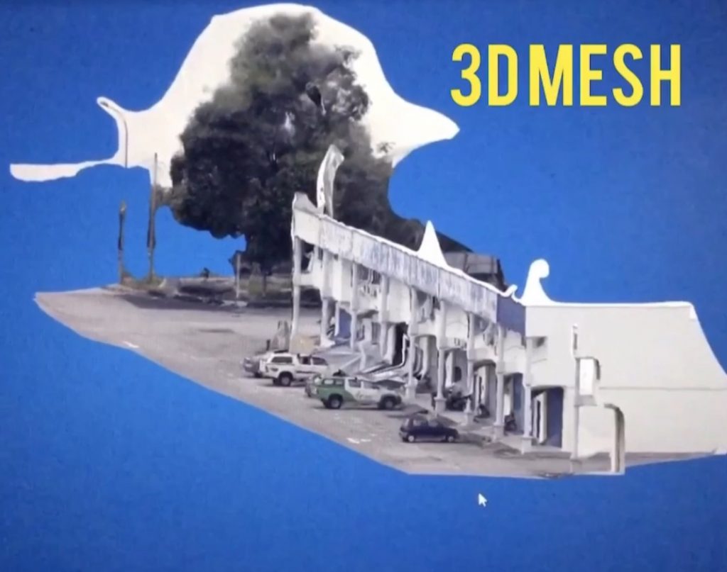
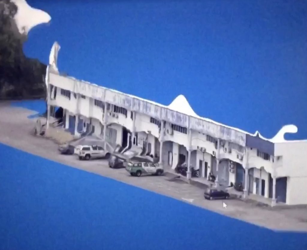
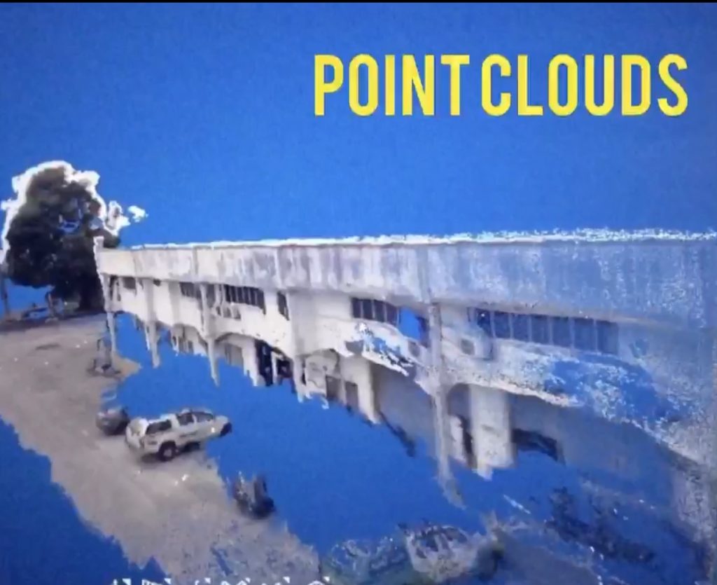
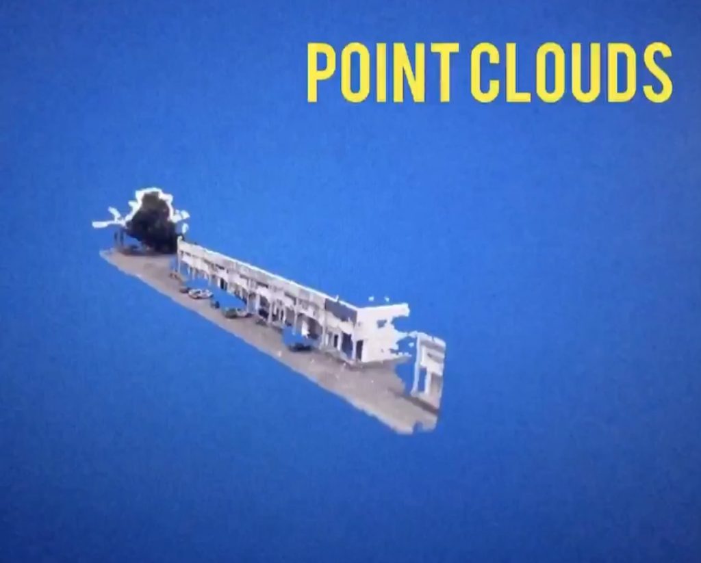
I’m amazed with the achievements from eCapture Research and Development SL. Today I’ve generated point clouds and 3D mesh from series of 49 photos taken via mobile vehicle. I’ve tested two products.
The first product, I call it as product A, it requires users with prior knowledge about sensor size, camera focal length, coordinate projection, etc. Experience in handling spatial data is an advantage. Took almost 30 minutes processing time and expensive computational cost (desktop based).
On the other hand, by using eyescloud3d I’ve managed to generate the model within 15 minutes (output as shown). And most importantly, no prior background knowledge needed.
Congratulations to Guillermo, Miguel and the team for your R&D. Fascinating.
Our lab at Universiti Teknologi Malaysia (UTM) have 5 years MoU research collaboration with eCapture Research and Development SL. We have the privilege to conduct scientific research using their products. Students are eligible to utilize it, feel free to let me know if you’re interested.
The accuracy? You may read our following international publications:
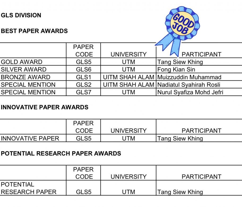
Congratulations to Tang Siew Khing in winning 3 national level awards by the Royal Institution of Surveyors Malaysia (RISM). She presented her Final Year Project (FYP) in a form of research paper last month. The awards are:
Gold Award in Best Paper Category
Innovative Paper Award
Potential Research Paper Award
Thank you to Royal Institution of Surveyors Malaysia (RISM) Geomatic and Land Surveying (GLS) Division, anonymous Jurors, and Universiti Teknologi Malaysia (UTM). This awards means a world to my Sarawakian student in doing her FYP dissertation.
To RISM, keep it up with this good event. This will values our profession growth in the country 👍🏻


 Congratulations to Tang Siew Khing in winning 3 national level awards by the Royal Institution of Surveyors Malaysia (RISM). She presented her Final Year Project (FYP) in a form of research paper last month. The awards are: