Tag Archives: #Geoinfo

Strengthening Data Collaboration for Wildlife Sustainability at JTS, Kuching

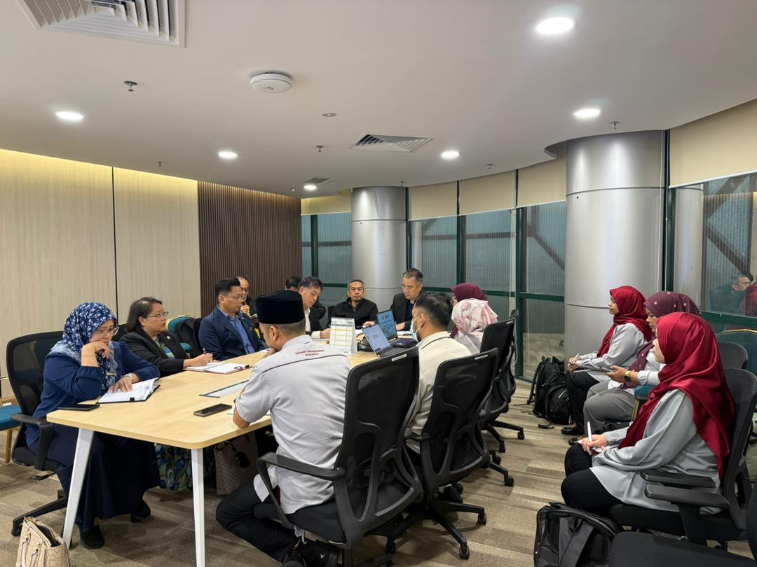
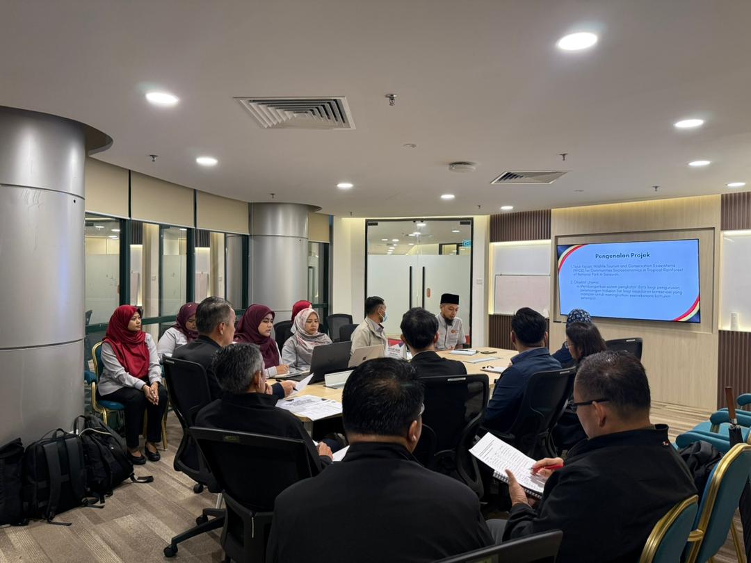
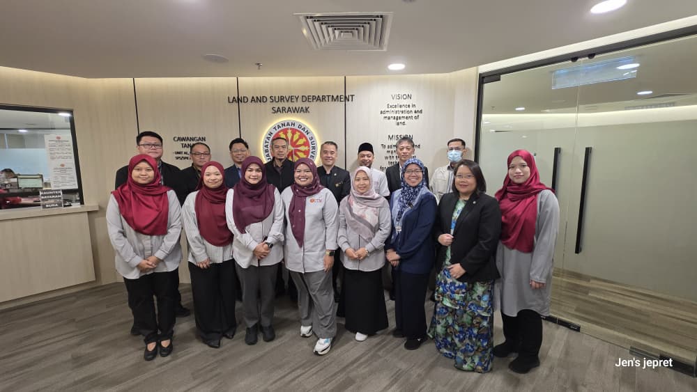
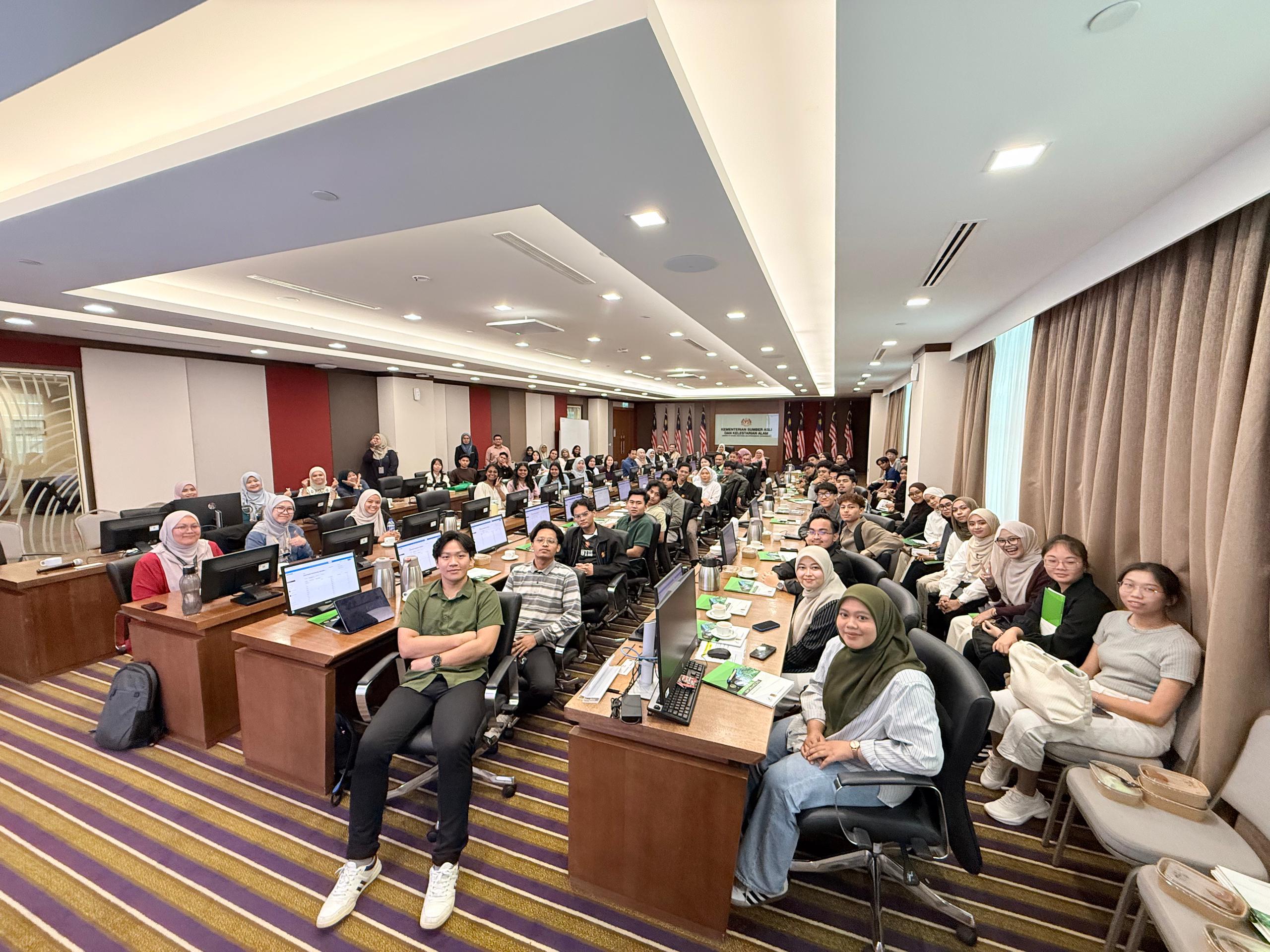
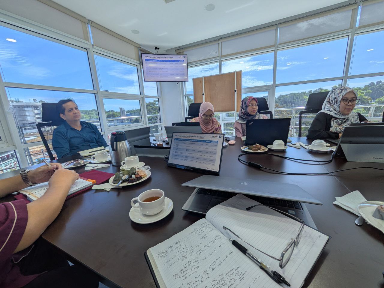
Despite the heavy rain in Kuching since early morning, our spirits remained high as we gathered at the Land and Survey Department (JTS) for a strategic discussion regarding the research grant led by Dr. Noordyana.

Our focus was centered on the project: “Database Development on Socio-economic Management for Wildlife Tourism and Conservation.” This session was crucial as it involved coordinating the integration and management of databases developed through this grant for the benefit of all relevant agencies.

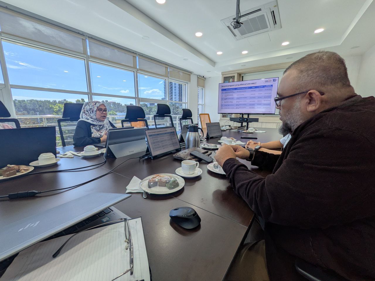
A heartfelt thank you to our strategic partners for their invaluable insights during our session at JTS including JTS, SFC, SAINS and other participants from Land Office and Resident’s Office.

The synergy between academia and government agencies is the cornerstone of ensuring that socio-economic management in wildlife tourism and conservation is driven by accurate, centralized data.

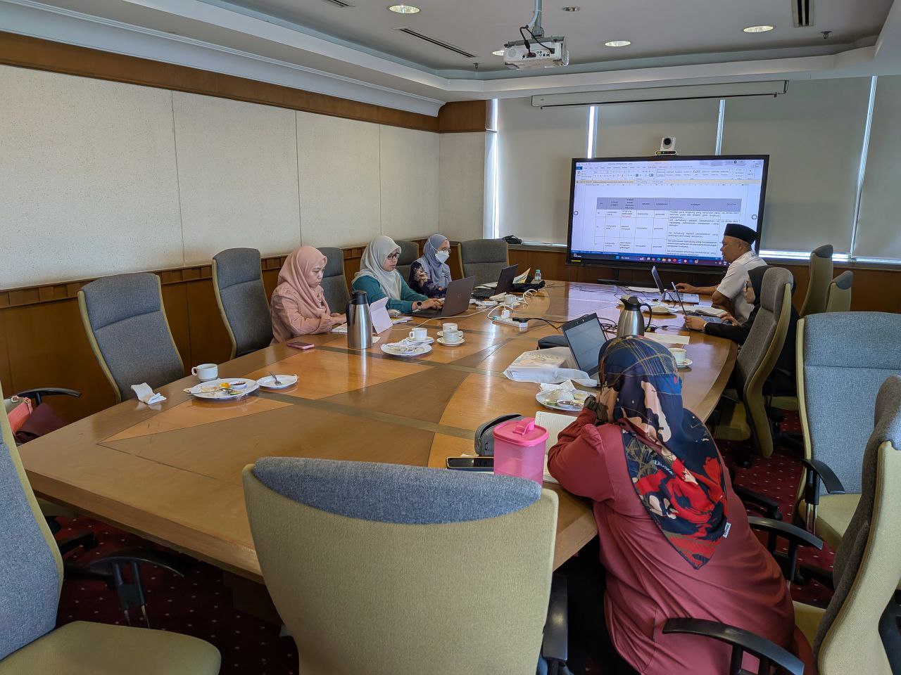
I am hopeful that the outcomes of today’s discussion will yield long-term positive impacts for all stakeholders and for the natural heritage of Sarawak.

#WildlifeConservation #DataManagement #Sarawak #ResearchGrant #Sustainability #SocioEconomic #EcoTourism #ConservationData #JTS #Kuching

Advancing National Data Ecosystems: AI & Geospatial Integration in BUDI95

I am deeply honored to be featured in Bernama alongside Dr. Mohamad Shukor Talib, discussing the future of national data management.

Our feature highlights how BUDI95 (an integrated database system) is not just a repository, but a potential cornerstone for a National Data Management Ecosystem. By leveraging Artificial Intelligence (AI) and Geospatial Technologies, we can transform raw data into actionable insights for more precise and impactful decision-making.

A huge thank you to Bernama for providing a platform to share these academic perspectives. We believe that the synergy between advanced technology and robust data frameworks is the key to a more digitally resilient Malaysia.

🔗 Read the full feature here: BERNAMA – BUDI95 Berpotensi Jadi Ekosistem Pengurusan Data Nasional

#Bernama #BUDI95 #DataScience #AI #Geospatial #NationalDataEcosystem #AcademicInsight #DigitalMalaysia #TechForGood

GeoConnect 25 Visit — Antaragrafik Systems Sdn Bhd

Last week, the GeoConnect 25 delegation had an insightful visit to Antaragrafik Systems Sdn Bhd, one of Malaysia’s leading geospatial solution providers with over three decades of experience in end-to-end geospatial, mapping, and surveying services.

During the visit, we were welcomed by the CEO, Dato’ Sr. Hj. Nor Azman Baharum, along with the Chief of Sales and several team members, who shared rich insights into the company’s history, vision, and future direction in the geospatial industry. Their presentation highlighted Antaragrafik’s journey since its establishment in 1995 and its strong commitment to delivering comprehensive geospatial solutions across sectors.

We were also introduced to advanced technologies currently used in the field, including:
Hybrid aerial photogrammetry cameras that support precision airborne data capture
Hybrid mobile TLF systems for versatile terrestrial surveying
Automated total station equipment for efficient and accurate geospatial measurement

These demonstrations provided participants with practical exposure to cutting-edge tools driving modern geospatial practices.

The session continued with interactive quizzes, Q&A, and hands-on activities — where students got the chance to try out the equipment and deepen their understanding of how such technologies are applied in real-world geospatial workflows.

A big thank you to the team at Antaragrafik for the warm reception and knowledge sharing, and to the students from the Geoinfo Club, UTM, for coordinating logistics and engagement throughout the visit.

#GeoConnect25 #Antaragrafik #Geospatial #Geomatics #RemoteSensing #Innovation #UTM #Geoinformatics #IndustryEngagement

GeoConnect ’25 – Lawatan ke Pusat Geospatial Negara

Last Tuesday, the GeoConnect 25 delegation had an enriching visit to the Pusat Geospatial Negara (PGN) — the national authority coordinating geospatial data and standards in Malaysia under the Ministry of Natural Resources and Environmental Sustainability.

We were welcomed and had a productive discussion with Director of PGN, Rusliza Hanim binti Maarif, gaining strategic insights into PGN’s role in driving geospatial coordination, data sharing, and national spatial data infrastructure.

The session continued with a comprehensive presentation by Sr Dr. Noor Anim Zanariah binti Yahaya, where she elaborated on the functions, history, and key initiatives of PGN — from policy development and standards to outreach and technical reference services.

We also learned about data acquisition processes at PGN, including how users and institutions can request and access geospatial data for planning, research, and application development.

The visit concluded with an interactive Q&A session with students, offering them firsthand exposure to national-level geospatial data governance and practical engagement with PGN experts.

This experience was made even more meaningful thanks to the excellent coordination by students from the Geoinfo Club, UTM, who organised the logistics and engagement throughout the visit.

GeoConnect25 #PusatGeospatialNegara #PGN #Geospatial #MyGDI #SpatialData #UTM #Geoinformatics #StudentEngagement

Showcasing My Research on Geospatial Data Management at ACRS 2025

I had the privilege to attend the Asian Conference on Remote Sensing (ACRS) 2025 in Makassar, Indonesia (27–31 October 2025), where I presented my paper “A Conceptual Geospatial Data Management Model for National Parks.”

The paper is part of the research grant project, “Database Development on Socio-Economic Management for Wildlife Tourism and Conservation,” focusing on improving how spatial and socio-economic data are managed to support sustainable park management and conservation.

ACRS continues to be an excellent platform for the geospatial and remote sensing community, bringing together researchers, professionals, and industry leaders to exchange ideas and drive innovation across Asia. Truly an inspiring experience to connect with experts shaping the future of geospatial science.

ACRS2025 #RemoteSensing #Geospatial #GIS #NationalParks #Research #Innovation #UTM

GeoMod 3D – International Research Colloquium 2025

I had the opportunity to attend the GeoMod 3D International Research Colloquium 2025, organised by the 3D GIS Research Lab, Universiti Teknologi Malaysia (UTM), on 21 October 2025.

This one-day event gathered academics, researchers, students, and industry professionals to exchange ideas and share the latest developments in 3D mapping, modelling, and spatial data management. The colloquium featured insightful presentations from international experts, including speakers from Germany, Australia, Turkey, Singapore, and Malaysia, covering topics such as 3D Digital Twins, BIM, LADM, City Models, and Marine Applications.

What made this event even more engaging was the active participation from industry partners such as AFTECH Sdn. Bhd., Indah Geomatik, and I-Net Spatial Sdn. Bhd., who shared their experiences and real-world projects in 3D development and applications within the geospatial sector.

It was a meaningful platform that bridged the gap between academia and industry — fostering collaboration, innovation, and knowledge sharing in the ever-evolving field of Geoinformatics.

Kudos to the organising team for an excellent and inspiring event! 

Congratulation for Finishing PSM 2025!

A heartfelt congratulations to Farah Najihah, Mohamad Adnan Rosli and Nurinnafisa Zaki for successfully completing your Final Year Project journey!

Your dedication, resilience, and countless hours of effort—through all the challenges, late nights, and breakthroughs — have truly paid off. I’m proud of the growth you’ve shown not just as students, but as future professionals.

Wishing you all the best in your next chapter. May success continue to follow you in every step you take. I’m always rooting for you!

#geoinfo #PSM #GIS #geoinformatics #geoinformatik #FYP

GIS Training Camp 1 2025 Site Visit

Last week I went to Teluk Gorek, Mersing to visit 2nd year students of Geoinformatics that are currently doing their GIS Training Camp 1.

This time GIS Training Camp 1 was held in Telok Gorek, Mersing. With a total number of 48 students. They collected all the data for the resort and later will be processed and stored in a geospatial database.

I hope this experience will help them facing the real world problems and able to provide solutions related to issues they’ll face later.

#geoinformatics #sbegh #GIS #GISbootcamp #GIStrainingcamp

Courtesy Visit to MBOT: Strengthening Academic and Professional Collaboration

I had the opportunity to pay a courtesy visit to the Malaysia Board of Technologists (MBOT) to discuss key matters related to the Bachelor of Science in Geoinformatics with Honours programme at the Faculty of Built Environment and Surveying (FABU), Universiti Teknologi Malaysia (UTM).

The main objectives of the visit were to discuss on the current curriculum and explore enhancements aligned with industry needs. Besides that, this discussion also important to understand the procedures and guidelines related to academic programme registration with MBOT.

Other than curriculum matters, this courtesy visit also discuss on exploring any opportunities for closer collaboration between FABU UTM and MBOT in student activities and professional development programmes.

The discussion was meaningful and timely to ensure that our academic offerings remain relevant, industry-driven, and capable of producing professionally recognised and competent graduates.

Thank you to the team at MBOT for the warm welcome and continuous support in strengthening geoinformatics education in Malaysia.

#MBOT #Geoinformatics #FABU #UTM #HigherEducation #ProfessionalRecognition #CurriculumDevelopment #Geospatial #STEM #AcademicIndustryLinkage

Discussion with Dewan Bahasa and Pustaka!

Three weeks ago, I was given the opportunity to attend a discussion with Dewan Bahasa and Pustaka (DBP), and the Working Committee of Multi-Lingual Glossary of Terms in Geospatial (MLGT) in Menara DBP.

This first discussion focuses on how to publish geospatial terms in the DBP website, with geospatial definition. Besides that, this discussion also improves some definitions that were previously translated into malay terms.

Hopefully this small contribution will expand and help the geospatial community in finding the proper terms in Malay, and using it in everyday works

====================

On the other hands: This is my first time i went to DBP, and it’s have a book store with all DBP’s publication. If you have time, please go to this place!

#mlgt#dbp#geospatial#sdi