THE SHAPEFILE SECRET EVERY GIS USER SHOULD KNOW
Many GIS beginners assume a shapefile is a single file. It is not. 👀
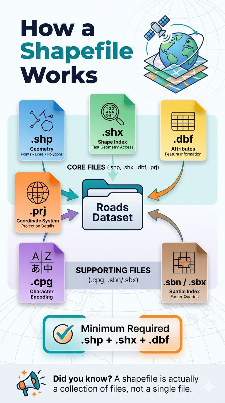
A shapefile is actually a collection of files that work together to store geographic data and its associated information.
📍 .shp stores the geometry (points, lines, and polygons)
📍 .shx provides an index for fast access to features
📍 .dbf stores the attribute data linked to each feature
📍 .prj defines the coordinate reference system (CRS)
📍 .cpg manages character encoding
📍 .sbn / .sbx improve spatial query performance
✅ Minimum files required for a valid shapefile dataset:
.shp + .shx + .dbf
Without these three core files, most GIS software will not be able to properly read the dataset.
💡 Pro tip: When sharing shapefiles, always send the entire folder or compress all related files into a ZIP archive. Sending only the .shp file is one of the most common GIS mistakes.
Understanding these file components is a small detail that can prevent big headaches in your GIS workflow.
Have you ever received a shapefile that would not open because some files were missing?
#GIS #Geospatial #Shapefile #SpatialData #GISLearning