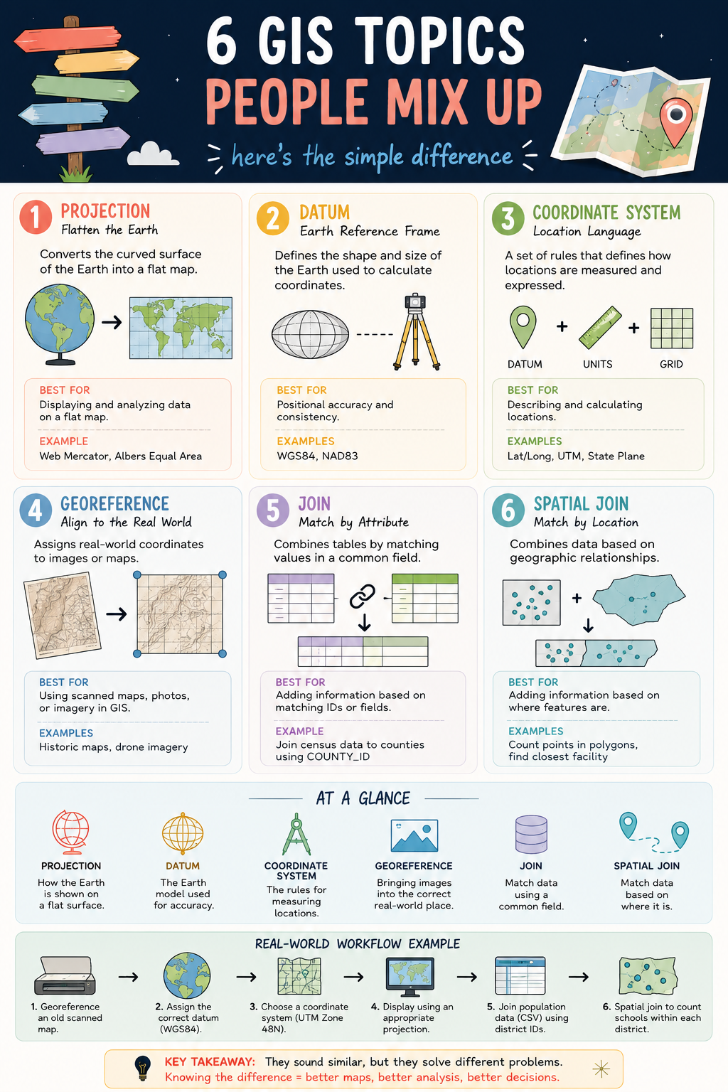
6 GIS CONCEPTS YOU SHOULD NEVER CONFUSE
Projection. Datum. Coordinate System. Georeferencing. Join. Spatial Join.
They are some of the most commonly used terms in GIS, yet they are also some of the most misunderstood. 🤔
While they may sound similar, each serves a completely different purpose in a geospatial workflow.
📍 Projection transforms the curved Earth into a flat map.
🌍 Datum defines the Earth model used for positioning.
📐 Coordinate System provides the framework for measuring locations.
🗺️ Georeferencing aligns maps and images to real-world coordinates.
🔗 Join connects data using a shared attribute or ID.
📌 Spatial Join connects data based on geographic location.
Understanding the difference between these concepts can save you from common GIS mistakes such as misplaced data, incorrect measurements, failed analyses, and inaccurate maps.
A simple way to remember them:
✅ Projection = How the Earth is displayed
✅ Datum = The Earth model behind the coordinates
✅ Coordinate System = How locations are measured
✅ Georeferencing = Putting data in the correct place
✅ Join = Match by attribute
✅ Spatial Join = Match by location
The better we understand these fundamentals, the more reliable our maps, analyses, and decisions become.
Which of these six concepts was the most confusing when you first started learning GIS?
#GIS #Geospatial #SpatialAnalysis #Mapping #GISLearning