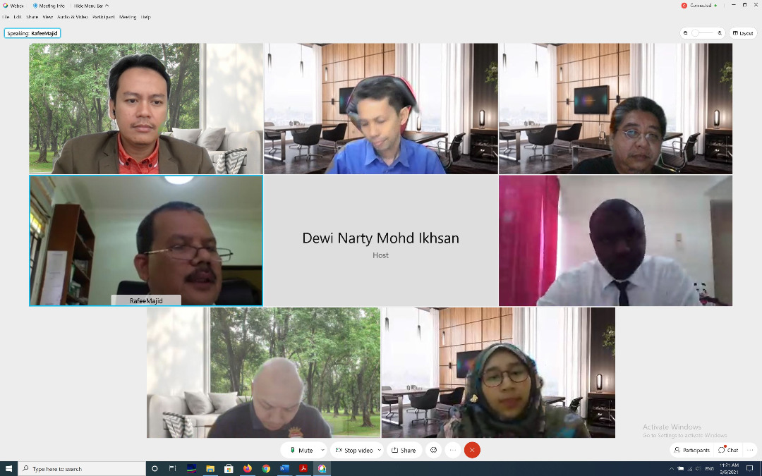
Category Archives: Research

Writing a Journal

WRITING A JOURNAL

It was a success a while back when we successfully published a manuscript in this journal. It can be difficult if you don’t have the experience of writing a #journal #manuscript.

But it was a bit of a shock when the manuscript was being the #mostdownloaded #GIS paper in the journal for many years. At that time, the term “open access” was still very relatively uncommon. Each year, appreciation email was sent from the Editor regarding the most downloaded paper of the journal.

Many years later, the #experience of publishing a journal remains a memory. The intention to start writing the manuscript was to share our research works with other #researchers around the world.

“It’s #publish or #perish”

#academicresearch #highereducationresearch #journals #scientificresearch #openaccess #writing #published

Postgraduate’s Presentation – A New Norm

I am honored that I was invited to chair a 3 hours of 20192020 postgraduate progress presentation session. Associate Professor Dr. Zulkepli Majid, Dr. Zamri Ismail and Dr. Shahabuddin Ameruddin were the panel during this presentation.

For your information. This is the first time this presentation session has been entirely virtualized. As chairman, I don’t feel awkward as I used to communicate with international experts online.

Seeing a student presentation, disrupted by the sound of a rooster outside the house, was genuinely surprising. Here’s what we could says about the ‘new norm’.

#highereducationresearch #academia #postgraduate #chairman #research #academic #university

Editorial Office Invitation in Springer Nature Journals

Part of the academic duties is to assist colleagues around the world in evaluating, assessing and recommending on the basis of our scientific research experience and information.

“Reviewing is a time-intensive process – writing a review report can be almost as much work as writing a manuscript! – but it is very worthwhile for the reviewer as well as for the community.

Reviewers:
* ensure the rigorous standards of the scientific process by taking part in the peer-review system.
* uphold the integrity of the journal by identifying invalid research, and helping to maintain the quality of the journal.
* fulfil a sense of obligation to the community and their own area of research.
* establish relationships with reputable colleagues and their affiliated journals, and increase their opportunities to join an Editorial Board.
* can help prevent ethical breaches by identifying plagiarism, research fraud and other problems by dint of their familiarity with the subject area.” – Elsevier, 2020

#research #academic #academia #highereducation #academicresearch #highereducationresearch #journals #scientificresearch

International Journal of Built Environment and Sustainability (IJBES)

Our third published international journal for this year 2020. It’s a Web of Science (WoS) indexed journal with an extensive peer review stages:

Title: “3D Topological Validation of Compact Abstract Cell Complexes (CACC) Data Structure for Buildings in CityGML”

Journal: International Journal of Built Environment and Sustainability (IJBES)

Volume: Vol. 7, No 2, 2020

DOI: 10.11113/ijbes.v7.n2.457

Link: https://ijbes.utm.my/index.php/ijbes/article/download/457/201

Feel free to read and circulate among your research colleagues.

#topology #data #dataanalytics #datamanagement #analytics #bigdata #geomarketing #3d #constellation #datascience #classified #gis  #journal  #datastructure

3D MESH AND POINT CLOUDS (Part 2)

This post is related with my previous post regarding eyescloud3d by eCapture3D lead by Miguel González Cuétara, Guillermo De Miguel Retortillo and their team.

This time, I’m using series of 51 aerial photos taken from DJI Phantom 4 with the altitude of 150m. The images are taken at our Universiti Teknologi Malaysia (UTM) Johor Bahru campus.

In less than 30 minutes, the outputs are ready. Bare in mind that, there’s no use of mighty computing machine to process this (cloud processing), no prior knowledge needed, no Omega Phi Kappa, just photos and results. There you go. Less hassle. Interesting. Enjoy the campus view!

3D Mesh and Point Cloud Generation

I’m amazed with the achievements from eCapture Research and Development SL. Today I’ve generated point clouds and 3D mesh from series of 49 photos taken via mobile vehicle. I’ve tested two products.

The first product, I call it as product A, it requires users with prior knowledge about sensor size, camera focal length, coordinate projection, etc. Experience in handling spatial data is an advantage. Took almost 30 minutes processing time and expensive computational cost (desktop based).

On the other hand, by using eyescloud3d I’ve managed to generate the model within 15 minutes (output as shown). And most importantly, no prior background knowledge needed.

Congratulations to Guillermo, Miguel and the team for your R&D. Fascinating.

Our lab at Universiti Teknologi Malaysia (UTM) have 5 years MoU research collaboration with eCapture Research and Development SL. We have the privilege to conduct scientific research using their products. Students are eligible to utilize it, feel free to let me know if you’re interested.

The accuracy? You may read our following international publications:

1. DEVELOPMENT OF 3D CITY MODEL USING VIDEOGRAMMETRY TECHNIQUE
(https://www.int-arch-photogramm-remote-sens-spatial-inf-sci.net/XLII-4-W16/221/2019/isprs-archives-XLII-4-W16-221-2019.pdf)

2. 3D MODEL FOR INDOOR SPACES USING DEPTH SENSOR.
(https://www.int-arch-photogramm-remote-sens-spatial-inf-sci.net/XLII-4-W16/471/2019/isprs-archives-XLII-4-W16-471-2019.pdf)

3. COMPARATIVE ANALYSIS OF VARIOUS CAMERA INPUT FOR VIDEOGRAMMETRY
(https://www.int-arch-photogramm-remote-sens-spatial-inf-sci.net/XLII-4-W16/63/2019/isprs-archives-XLII-4-W16-63-2019.pdf)

Royal Institution of Surveyors Malaysia (RISM) Awards

Congratulations to Tang Siew Khing in winning 3 national level awards by the Royal Institution of Surveyors Malaysia (RISM). She presented her Final Year Project (FYP) in a form of research paper last month. The awards are:

  1. Gold Award in Best Paper Category
  2. Innovative Paper Award
  3. Potential Research Paper Award

Thank you to Royal Institution of Surveyors Malaysia (RISM) Geomatic and Land Surveying (GLS) Division, anonymous Jurors, and Universiti Teknologi Malaysia (UTM). This awards means a world to my Sarawakian student in doing her FYP dissertation.

To RISM, keep it up with this good event. This will values our profession growth in the country 👍🏻

and again, Congratulations Tang!!!


JSON to CSV Converter

While doing my spatial data mining, I stumbled upon this situation where I need to translate my JavaScript Object Notation files (JSON) to another format, which in my case is Comma Separated Values format (CSV). Trying to find online converters, but somehow most of the converters are limited like file size should be less than 1MB or 100MB maximum, which definitely can’t handle the spatial data I’m working with (almost 1GB/file). And I have multiple of them. Sure, need to add 💵💰 for this for larger files. Then I’ve decided to write this 10 lines Python code to read, filter, format and convert and store it to CSV file. This video (series of images instead) shows how it goes and voila!