Category Archives: Teaching

Postgraduate’s Presentation – A New Norm

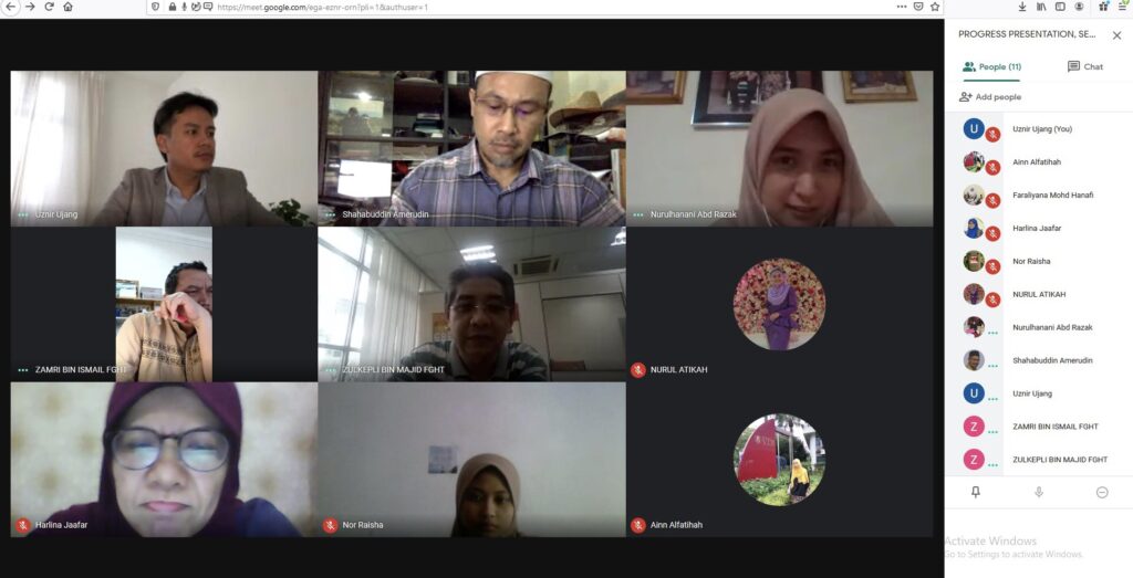
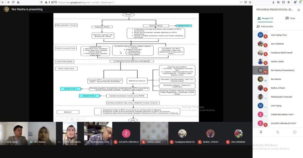
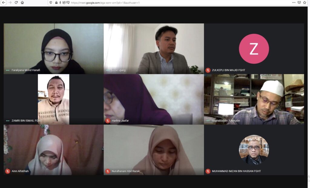
I am honored that I was invited to chair a 3 hours of 20192020 postgraduate progress presentation session. Associate Professor Dr. Zulkepli Majid, Dr. Zamri Ismail and Dr. Shahabuddin Ameruddin were the panel during this presentation.

For your information. This is the first time this presentation session has been entirely virtualized. As chairman, I don’t feel awkward as I used to communicate with international experts online.

Seeing a student presentation, disrupted by the sound of a rooster outside the house, was genuinely surprising. Here’s what we could says about the ‘new norm’.

#highereducationresearch #academia #postgraduate #chairman #research #academic #university

3D MESH AND POINT CLOUDS (Part 2)

This post is related with my previous post regarding eyescloud3d by eCapture3D lead by Miguel González Cuétara, Guillermo De Miguel Retortillo and their team.

This time, I’m using series of 51 aerial photos taken from DJI Phantom 4 with the altitude of 150m. The images are taken at our Universiti Teknologi Malaysia (UTM) Johor Bahru campus.

In less than 30 minutes, the outputs are ready. Bare in mind that, there’s no use of mighty computing machine to process this (cloud processing), no prior knowledge needed, no Omega Phi Kappa, just photos and results. There you go. Less hassle. Interesting. Enjoy the campus view!

Royal Institution of Surveyors Malaysia (RISM) Awards

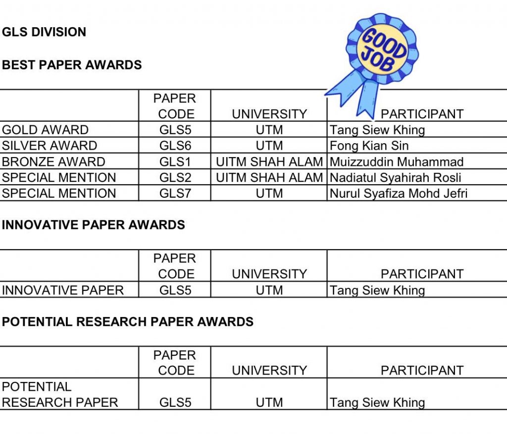
Congratulations to Tang Siew Khing in winning 3 national level awards by the Royal Institution of Surveyors Malaysia (RISM). She presented her Final Year Project (FYP) in a form of research paper last month. The awards are:

  1. Gold Award in Best Paper Category
  2. Innovative Paper Award
  3. Potential Research Paper Award

Thank you to Royal Institution of Surveyors Malaysia (RISM) Geomatic and Land Surveying (GLS) Division, anonymous Jurors, and Universiti Teknologi Malaysia (UTM). This awards means a world to my Sarawakian student in doing her FYP dissertation.

To RISM, keep it up with this good event. This will values our profession growth in the country 👍🏻

and again, Congratulations Tang!!!


JSON to CSV Converter

While doing my spatial data mining, I stumbled upon this situation where I need to translate my JavaScript Object Notation files (JSON) to another format, which in my case is Comma Separated Values format (CSV). Trying to find online converters, but somehow most of the converters are limited like file size should be less than 1MB or 100MB maximum, which definitely can’t handle the spatial data I’m working with (almost 1GB/file). And I have multiple of them. Sure, need to add 💵💰 for this for larger files. Then I’ve decided to write this 10 lines Python code to read, filter, format and convert and store it to CSV file. This video (series of images instead) shows how it goes and voila!