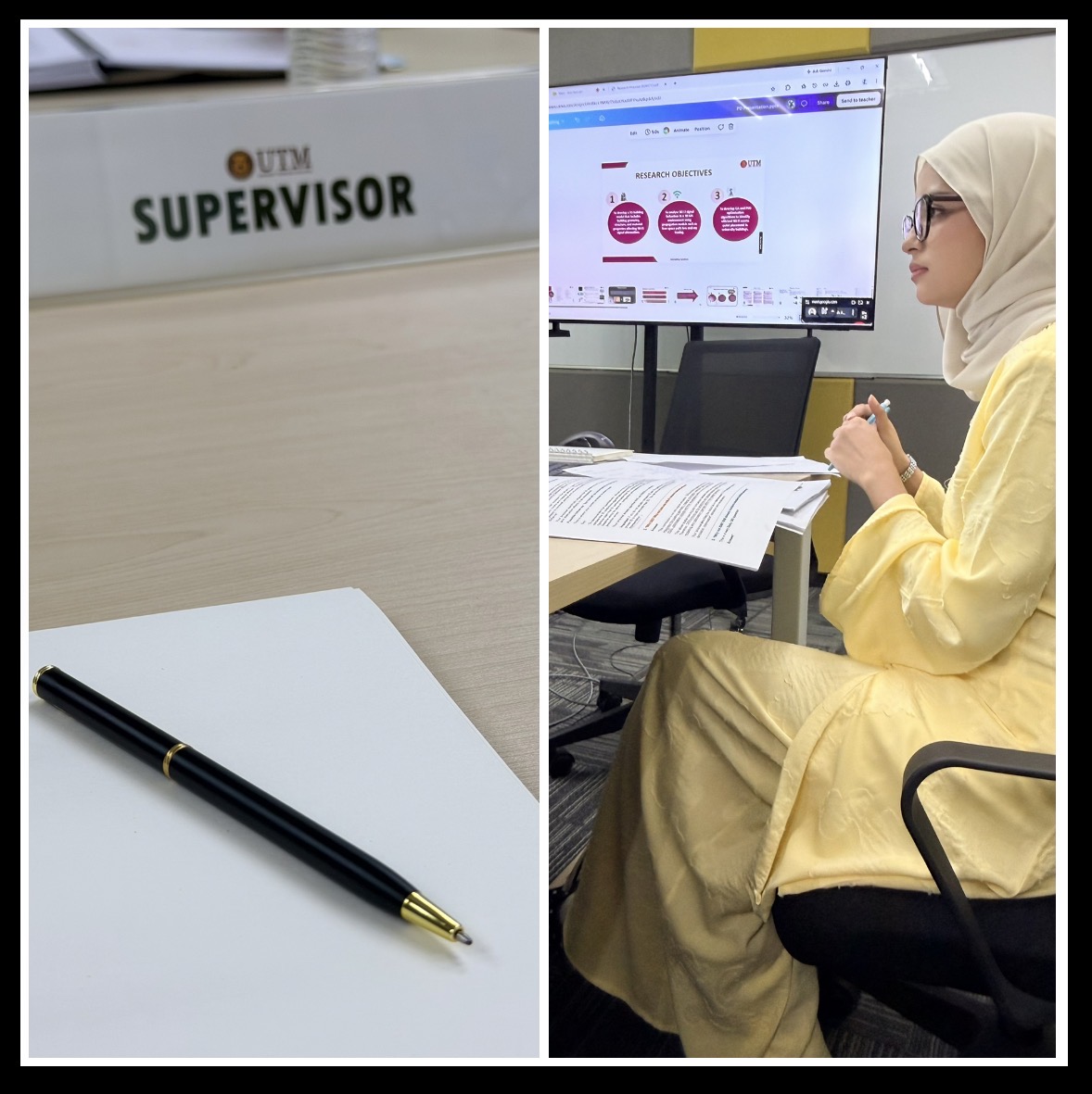
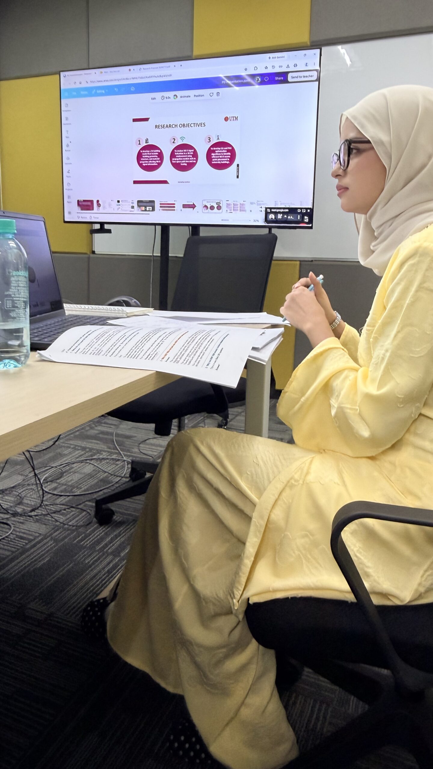
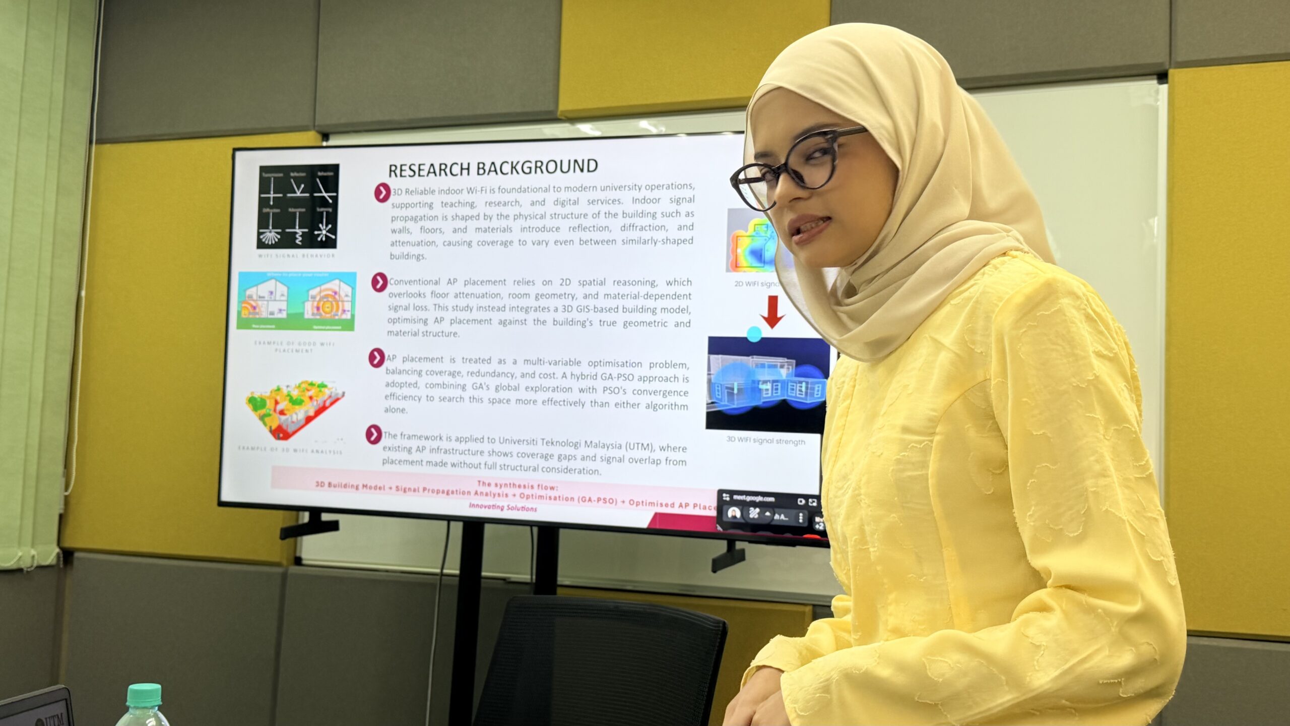
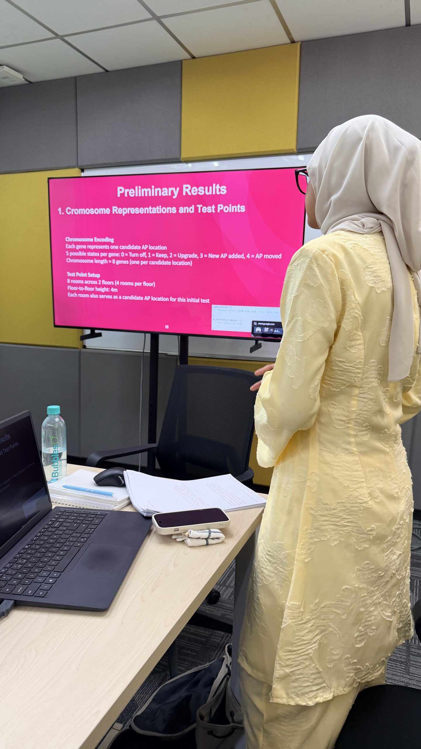
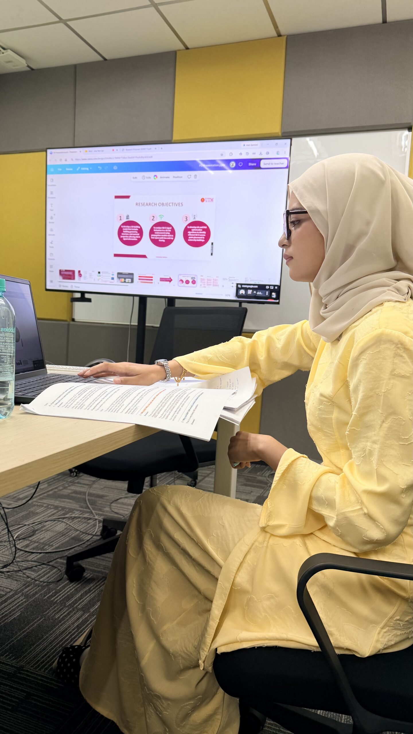
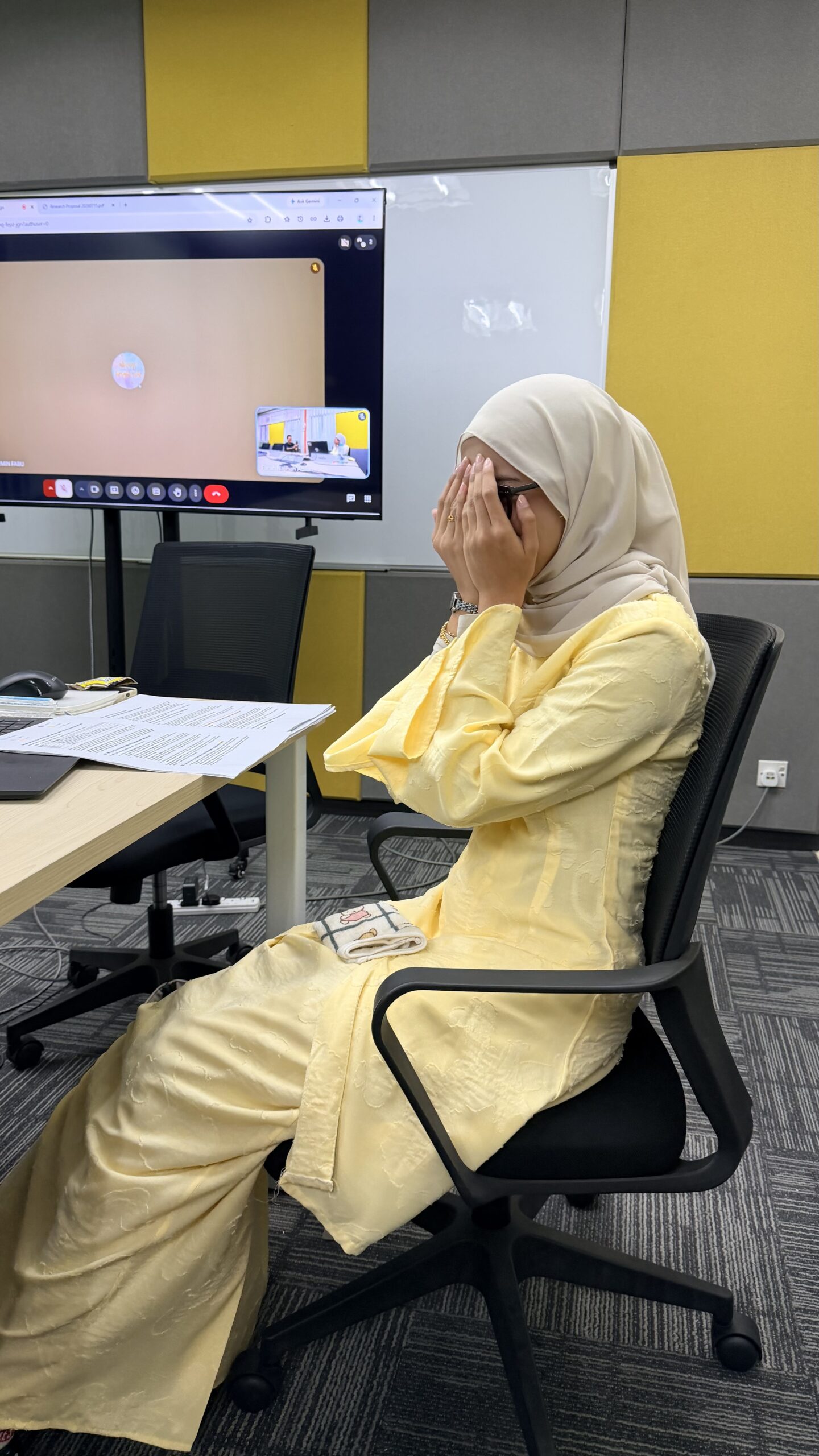
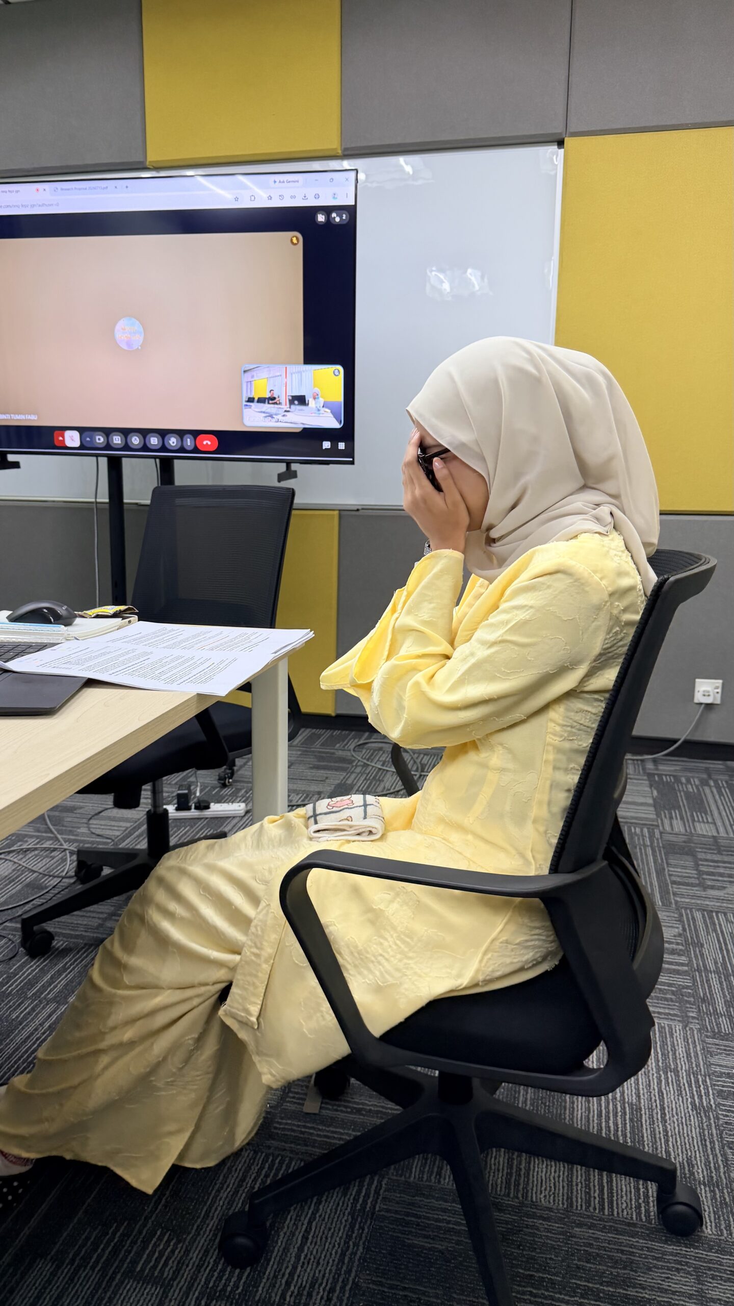
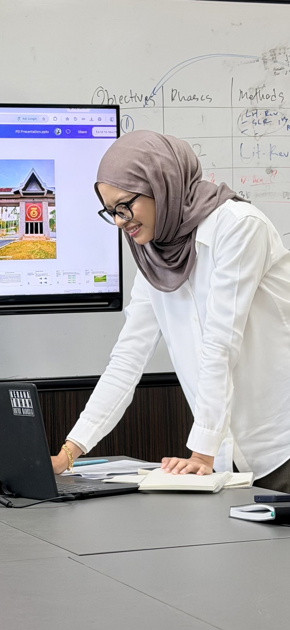
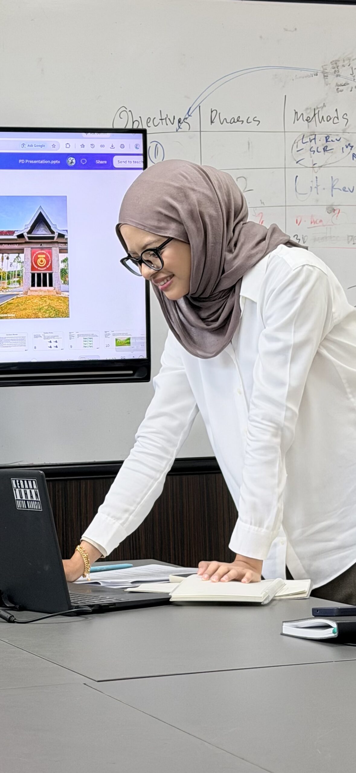
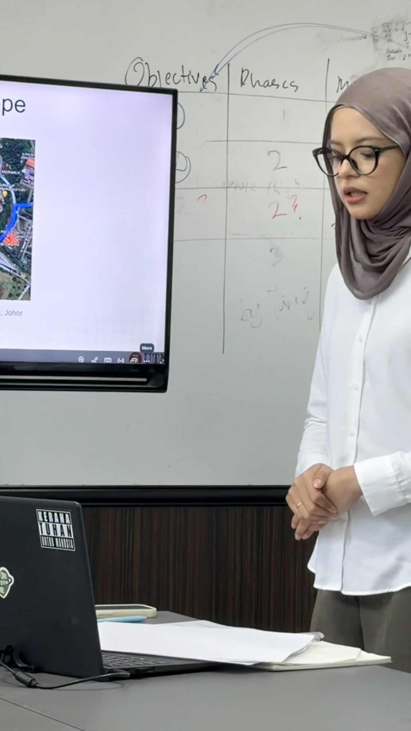
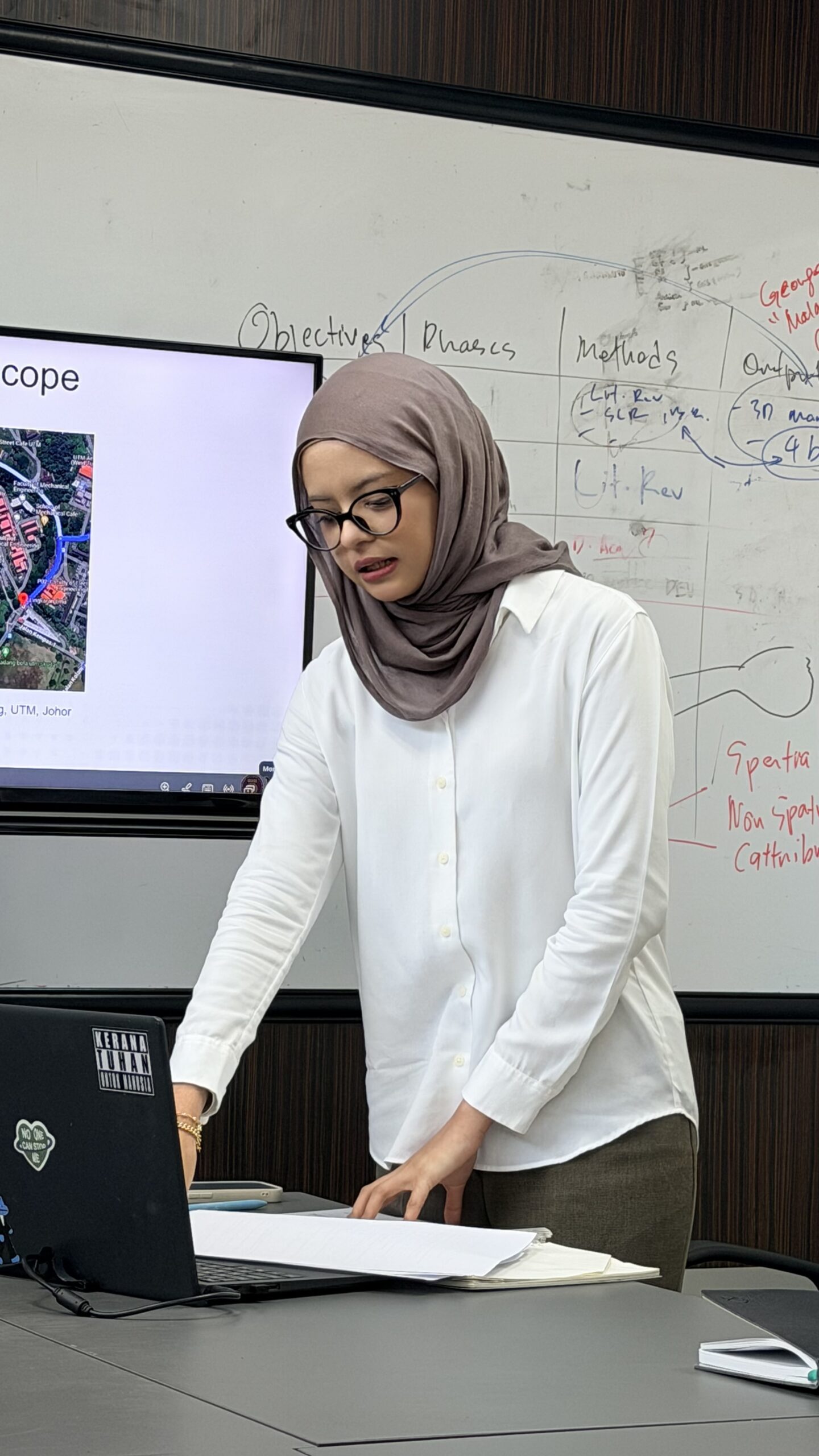
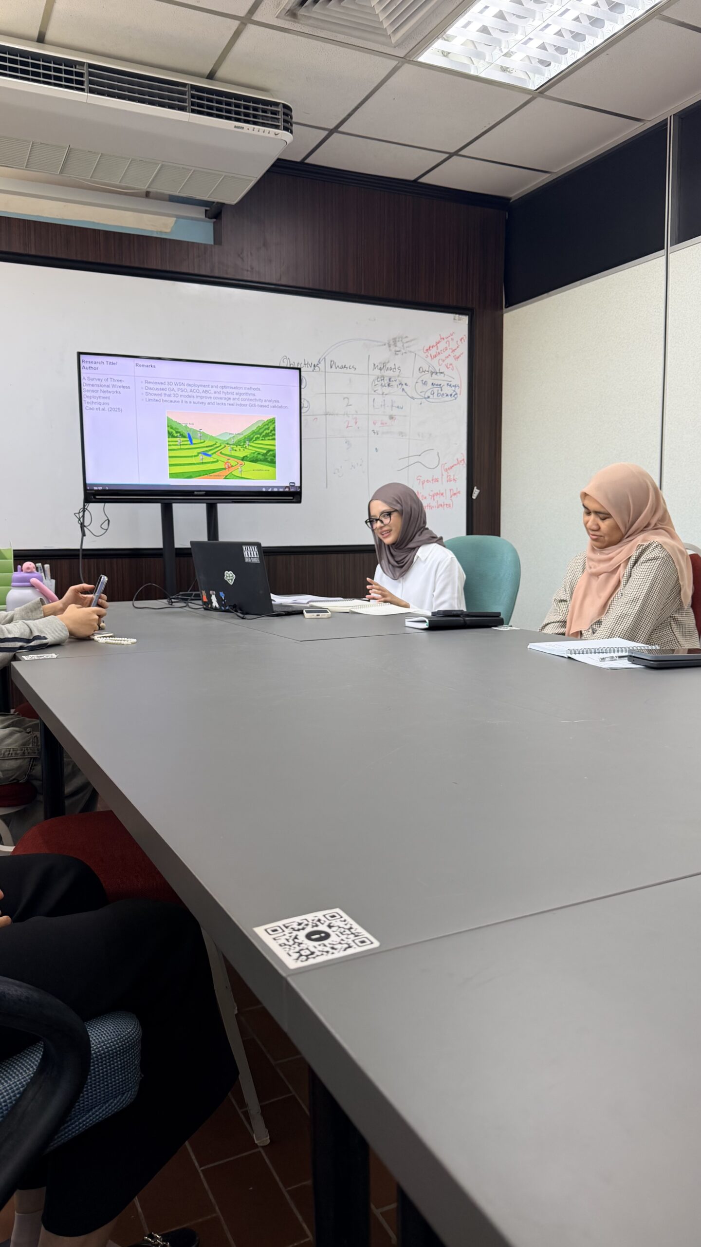
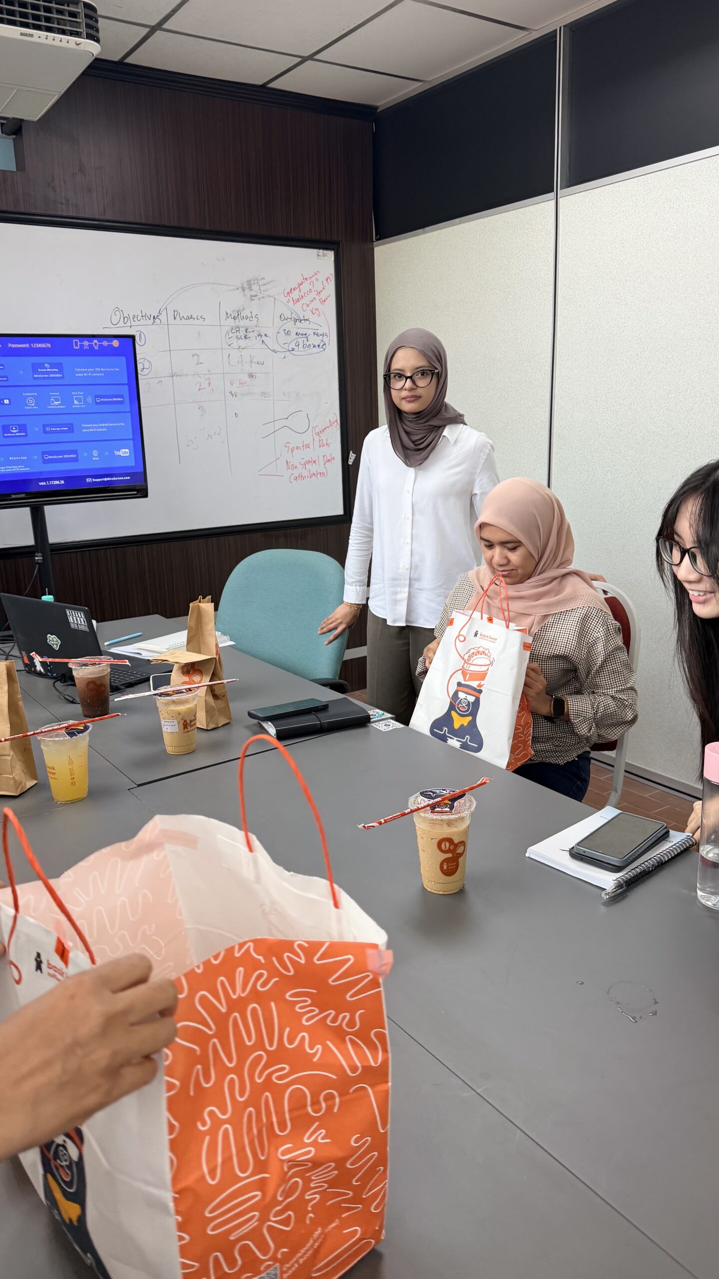
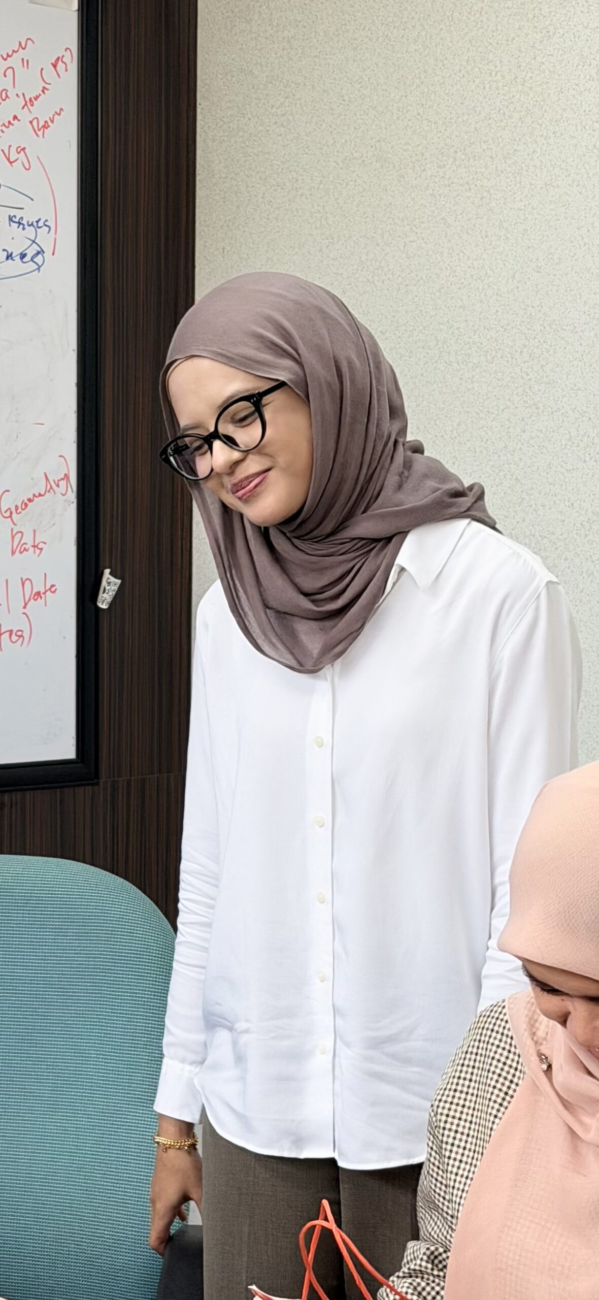
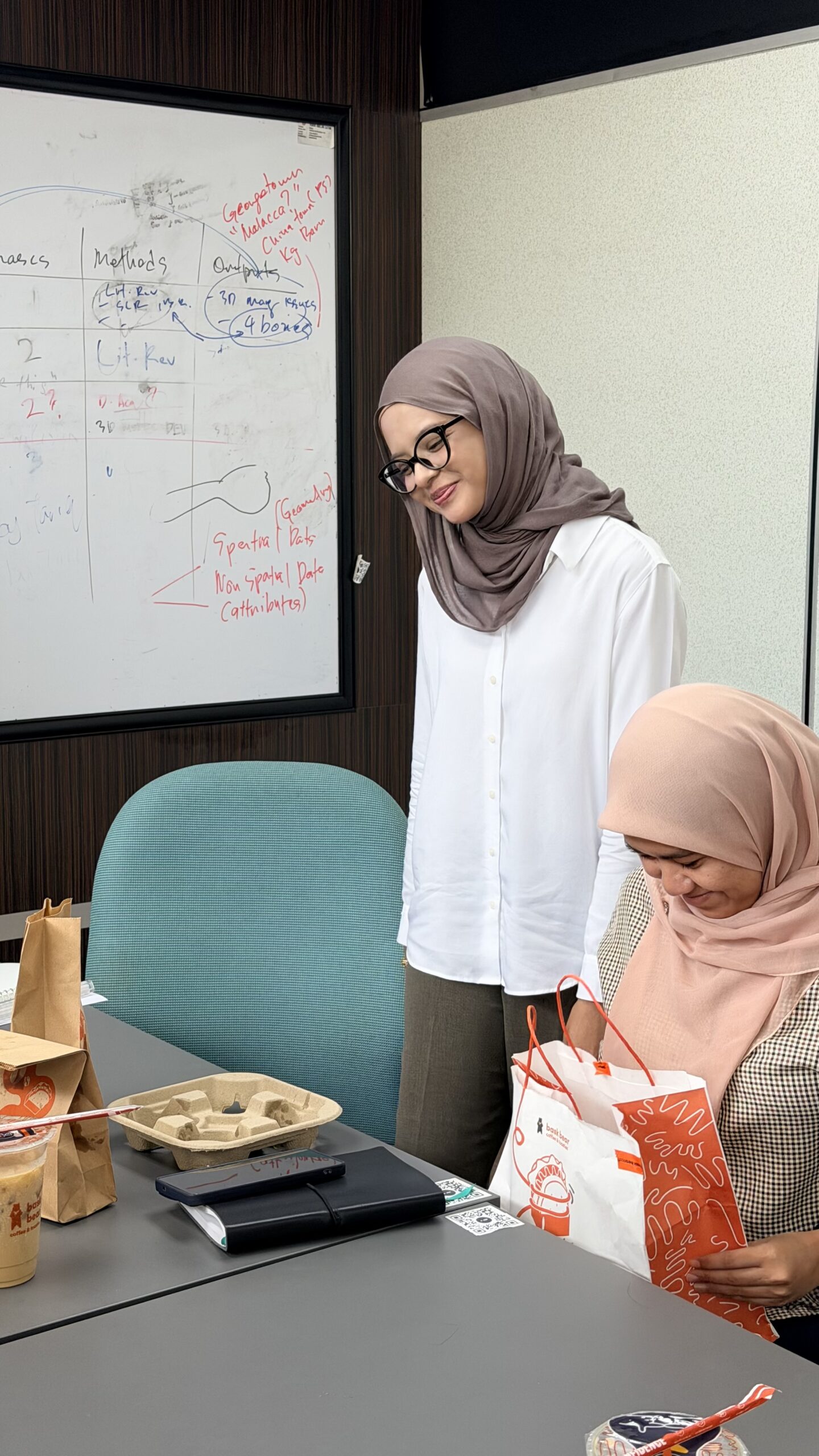
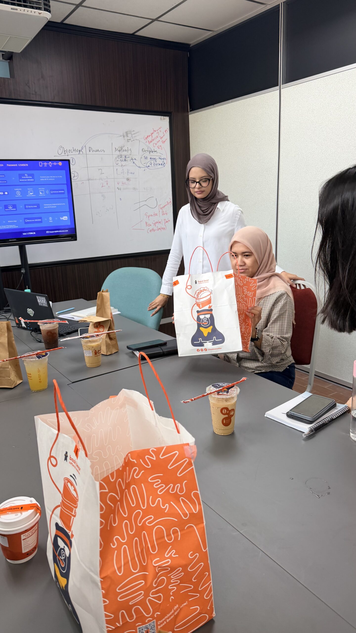
From her very first presentation with me to what I saw today, her growth has been remarkable.
As a supervisor, seeing a student reach this “style” is one of the most fulfilling parts of the journey even if it is “just” a proposal defence. I’ve watched her grow since day one with me. 🥹
Congratulations Melati, on passing your MPhil proposal defence with flying colours. Keep improving, keep growing, and never settle too soon. 🌷
Today, I had a mock proposal presentation session with my MPhil student Melati, as she prepares for her upcoming proposal presentation.
In our lab, this is part of the process. Before students go into an important presentation, we spend time going through not only what to present, but also what to do and what not to do during the presentation. How to structure the story, how to explain the research clearly, how to respond to questions, and even the small things that can make a big difference in how confidently the work is delivered.
But there is another part that I personally pay attention to.
Beyond the research itself, I try to identify what each student individually needs to improve.
For one student, it may be confidence. For another, it may be how they communicate technical ideas. Some need to improve their slides, some need to sharpen their research argument, while others need to learn how to answer questions more strategically.
Because every student is different, the way we groom them should also be different.
Perhaps that is one thing that makes our research lab a little special 🫢
We do not really have a one-size-fits-all approach.
We groom our students in a tailor-made version, one researcher at a time.
All the best for your proposal presentation Melati! 💪🏻
Most of my work revolves around GIS, 3D city modelling and GeoAI. So it is always interesting when research collaboration brings me into a broader territory.
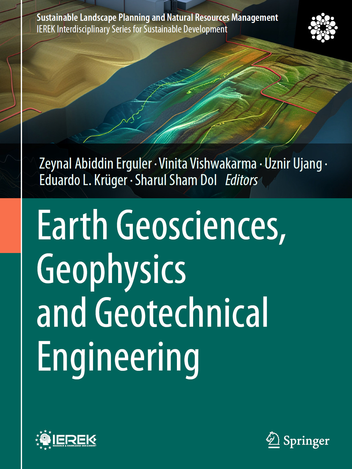
Glad to see our new edited book, “Earth Geosciences, Geophysics and Geotechnical Engineering,” now officially published by Springer Nature in 2026 as part of the Sustainable Landscape Planning and Natural Resources Management series.
I had the opportunity to serve as one of the editors together with Zeynal Abiddin Erguler, Vinita Vishwakarma, Eduardo L. Krüger and Sharul Sham Dol.
The book brings together research across geosciences, geophysics and geotechnical engineering, particularly on how these disciplines can contribute to sustainable resource management, environmental protection and better understanding of the Earth and its resources.
What I enjoy about projects like this is the opportunity to step beyond our usual research boundaries. Sometimes the most interesting ideas emerge when different disciplines meet and we begin looking at the same problem from completely different perspectives.
Thank you to my fellow editors, contributing authors and everyone involved in bringing this book from an idea to a published volume.
Another book on the shelf. More importantly, another collection of knowledge ready to be used by the research community.
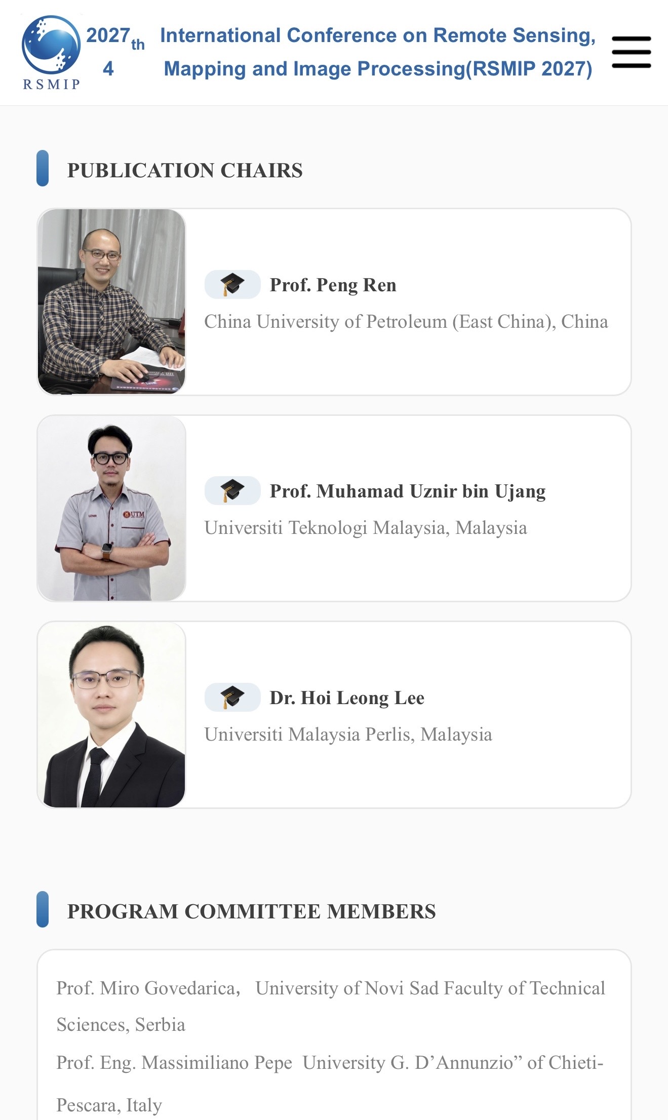
ANOTHER INTERNATIONAL ROLE, THIS TIME FOR RSMIP 2027
Another invitation from China, and another opportunity to contribute to the international research community.
I have been invited to serve as Publication Chair and Editor for the 4th International Conference on Remote Sensing, Mapping and Image Processing (RSMIP 2027), which will be held in Xi’an, China, from 22 to 24 January 2027.
The conference brings together academics and industry experts working across remote sensing, mapping, image processing, geospatial technologies, and related applications.
As Publication Chair and Editor, part of the responsibility is to support the publication process and help maintain the quality of the research presented through the conference. It is always interesting to contribute from the other side of academic publishing, not only as an author, but also in helping research from the wider community move towards publication.
And Xi’an itself makes this invitation even more interesting. It is one of China’s great historic cities and was the eastern starting point of the ancient Silk Road. Today, it is also a major centre for higher education, science and technology. Quite a combination of history and innovation for a conference on mapping and remote sensing.
Thank you to the RSMIP 2027 organising committee for the invitation and confidence. Looking forward to contributing to the team.
Have you ever looked at a drone or satellite image and noticed buildings appearing to lean, roads looking slightly misplaced, or measurements that just don’t seem right?
The image may look accurate, but appearances can be deceiving.
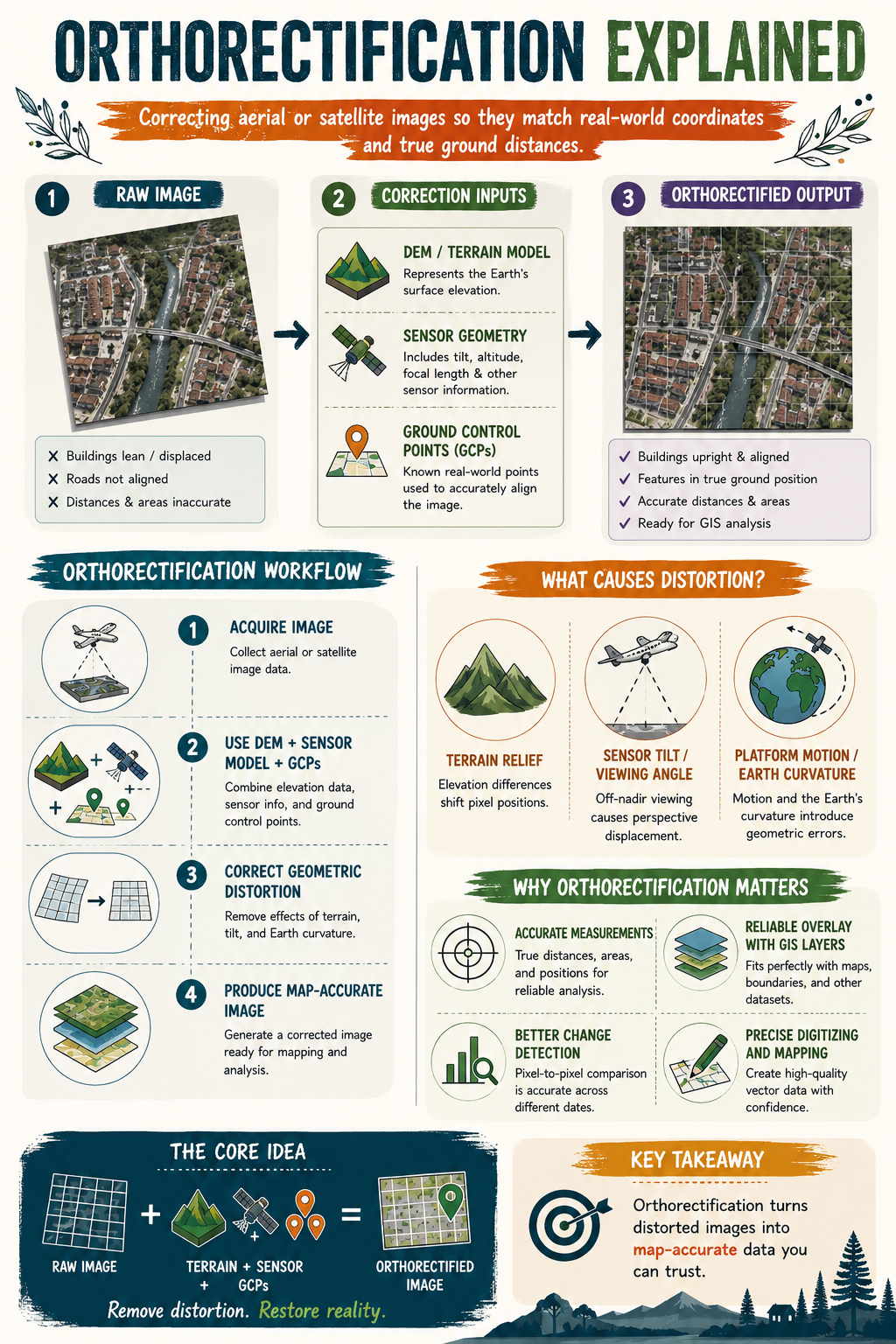
Raw aerial and satellite imagery often contains geometric distortions caused by terrain elevation, sensor tilt, viewing angle, aircraft movement, and even the curvature of the Earth. These distortions can affect the true position of features on the ground.
This is where orthorectification comes in.
Orthorectification is the process of correcting aerial or satellite imagery so that every pixel is placed in its true ground location. By combining elevation data, sensor information, and Ground Control Points (GCPs), distorted images are transformed into map-accurate datasets that can be trusted for analysis.
Why does this matter?
✅ Accurate distance and area measurements
✅ Reliable alignment with GIS layers
✅ Better change detection and monitoring
✅ More precise mapping and digitising
✅ Greater confidence in decision-making
A simple way to remember it:
📸 Raw Image + Terrain Data + Sensor Information + GCPs = Orthorectified Image
The next time you use drone or satellite imagery, ask yourself this question:
Am I looking at a picture, or am I looking at a map?
Another research output from our lab has now moved beyond publication and into intellectual property protection.
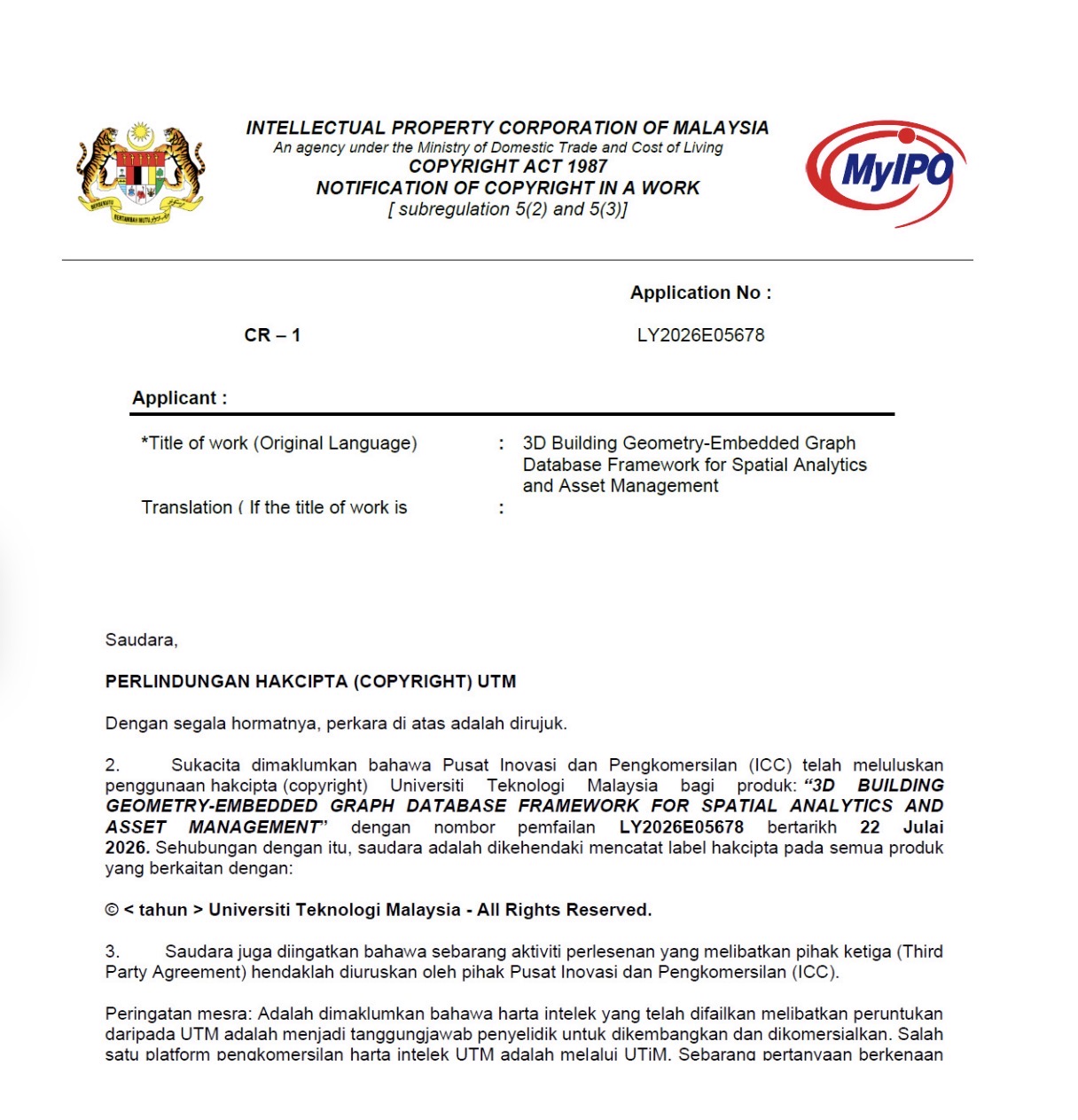
Our work titled “3D Building Geometry-Embedded Graph Database Framework for Spatial Analytics and Asset Management” has officially received copyright approval through Universiti Teknologi Malaysia, with the application registered under LY2026E05678.
This framework integrates 3D building geometry, graph databases, spatial analytics, and asset management within a unified structure. The aim is to support more connected analysis of building assets by linking spatial relationships, operational information, and asset-related data that are often stored separately in conventional systems.
Protecting research outputs is an important step. Publications allow us to share knowledge with the academic community, while intellectual property protection helps establish ownership and creates opportunities for future development, application, collaboration, and commercialisation.
Glad to see another idea from the lab reaching this stage. Credit to everyone involved in developing and refining the framework.
One step at a time, from research to something that can be applied in the real world.
Another piece of work from our lab has officially been published. 😊
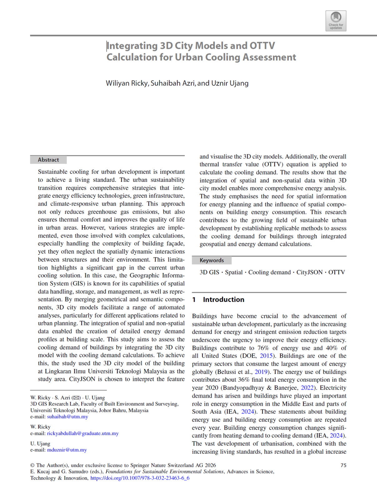
Congratulations to Wiliyan Ricky on the publication of our paper:
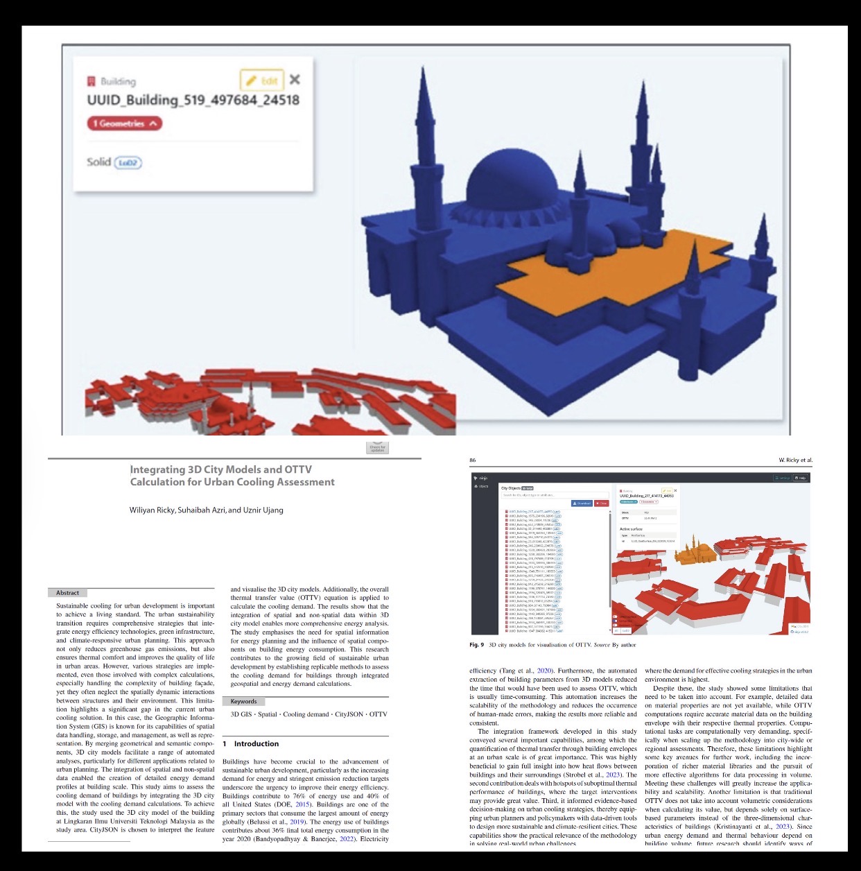
“Integrating 3D City Models and OTTV Calculation for Urban Cooling Assessment.”
This paper was presented at an international conference in the Philippines and is now officially published in the conference proceedings, which are indexed by Scopus.
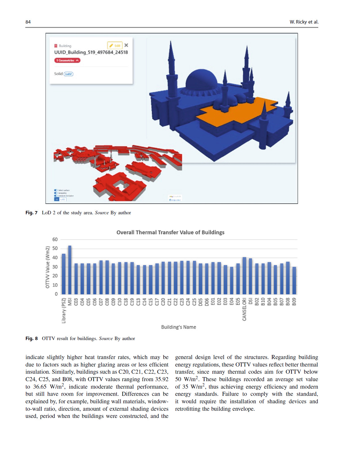
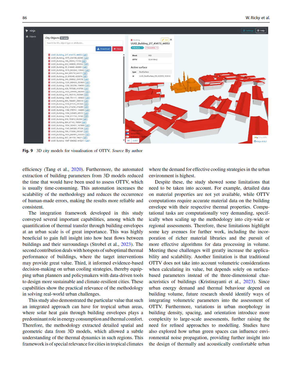
The study integrates 3D City Models with Overall Thermal Transfer Value (OTTV)calculations to evaluate the cooling performance of buildings in urban environments. By combining geospatial information with building energy analysis, the framework enables planners to identify buildings with higher cooling demand and supports evidence-based decisions for creating more energy-efficient and climate-responsive cities.
One of the key contributions of this work is demonstrating how 3D GIS and CityJSON can move beyond visualization to become analytical platforms for urban sustainability and energy assessment. This approach has strong potential for supporting future smart city initiatives, particularly in tropical climates where cooling demand is a major concern.
Congratulations once again to Wiliyan for this achievement. It is always rewarding to see our students continue producing meaningful research and sharing it with the international research community.
Looking forward to the next publication and the next challenge.
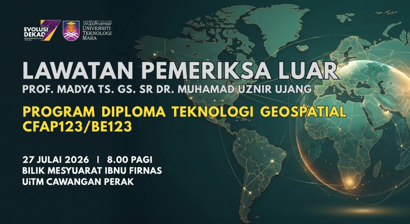
On this date, I carried out my responsibility as an External Examiner for the Diploma in Geospatial Technology programme at UiTM Cawangan Perak.
The session focused on reviewing and strengthening the programme syllabus to ensure that its courses remain relevant to current developments in the geospatial field. We discussed the programme structure, course content, technical competencies, and how emerging areas such as Artificial Intelligence (AI), Big Data, UAV technology, remote sensing, spatial analysis, databases, programming, and modern GIS applications can be better reflected in the curriculum.
Being an external examiner is not only about identifying gaps. It is also about sharing experience, offering constructive recommendations, and helping another institution prepare students with the knowledge and skills needed by academia and industry.
The discussions were detailed, open, and productive. My appreciation goes to the academic team from UiTM Cawangan Perak for their preparation, cooperation, and commitment to continuously improving the quality of the programme.
Academic responsibility sometimes takes us beyond our own classrooms and institutions. The goal remains the same, which is to help strengthen geospatial education and support the next generation of professionals.
WHAT IF I TOLD YOU THE MOST IMPORTANT PART OF A MAP ISN’T THE MAP ONLY?
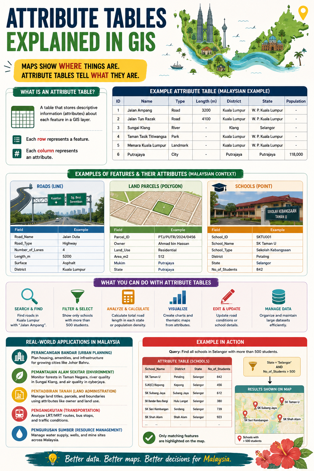
When people think about GIS, they usually focus on the map.
The roads, buildings, rivers, land parcels, and points of interest get all the attention.
But the real power of GIS often lies somewhere else: the attribute table. 📊
Maps show you where things are.
Attribute tables tell you what they are.
Every feature in a GIS layer has a corresponding record in an attribute table. Each row represents a feature, while each column stores information about that feature.
For example:
🛣️ A road can store its name, type, number of lanes, and length.
🏫 A school can store its name, district, school type, and student population.
🏡 A land parcel can store ownership details, land use, and area.
Without attribute tables, a map is simply a collection of shapes.
With attribute tables, those shapes become meaningful information that can be searched, analysed, filtered, updated, and visualised.
This is what makes GIS such a powerful decision-support tool.
Want to find all schools with more than 500 students?
Want to calculate the total road length in a district?
Want to identify residential parcels in a specific area?
The answers are stored in the attribute table.
A simple way to remember it:
📍 Geometry tells you where.
📊 Attributes tell you what.
The next time you open a GIS layer, don’t just look at the map. Open the attribute table and discover the story behind the data.
After all, better data leads to better maps, and better maps lead to better decisions.