ANOTHER AFTERNOON, ANOTHER PROPOSAL DEFENCE SESSION 🎓

Screenshot

ANOTHER AFTERNOON, ANOTHER PROPOSAL DEFENCE SESSION 🎓

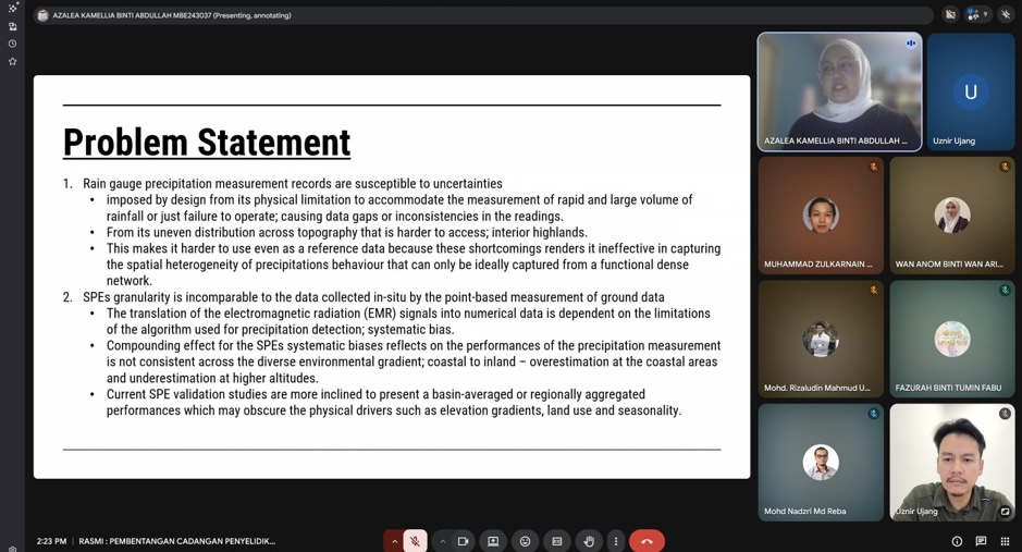
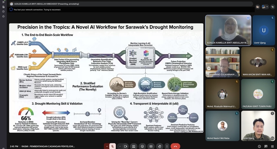
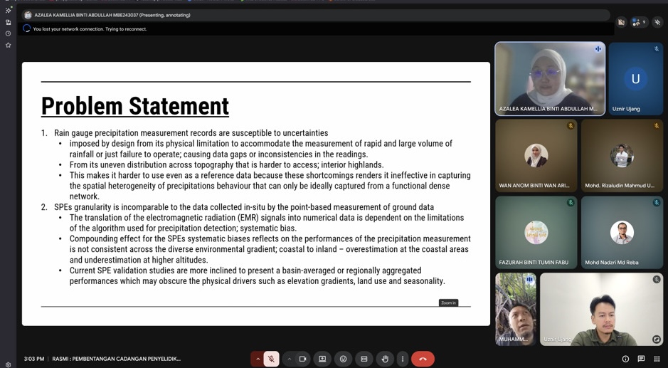
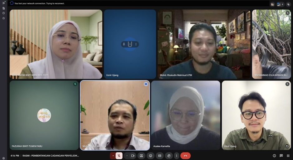
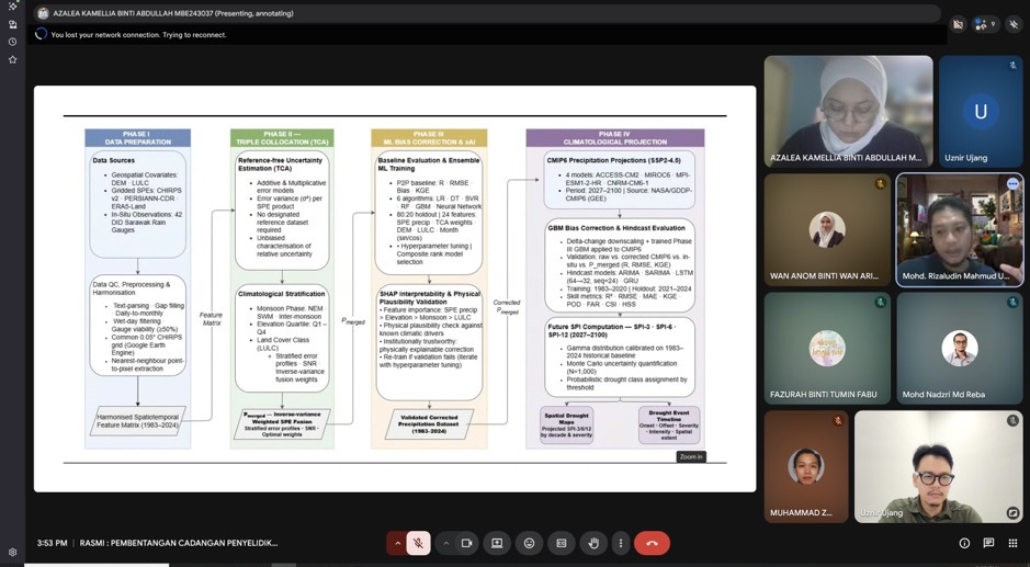
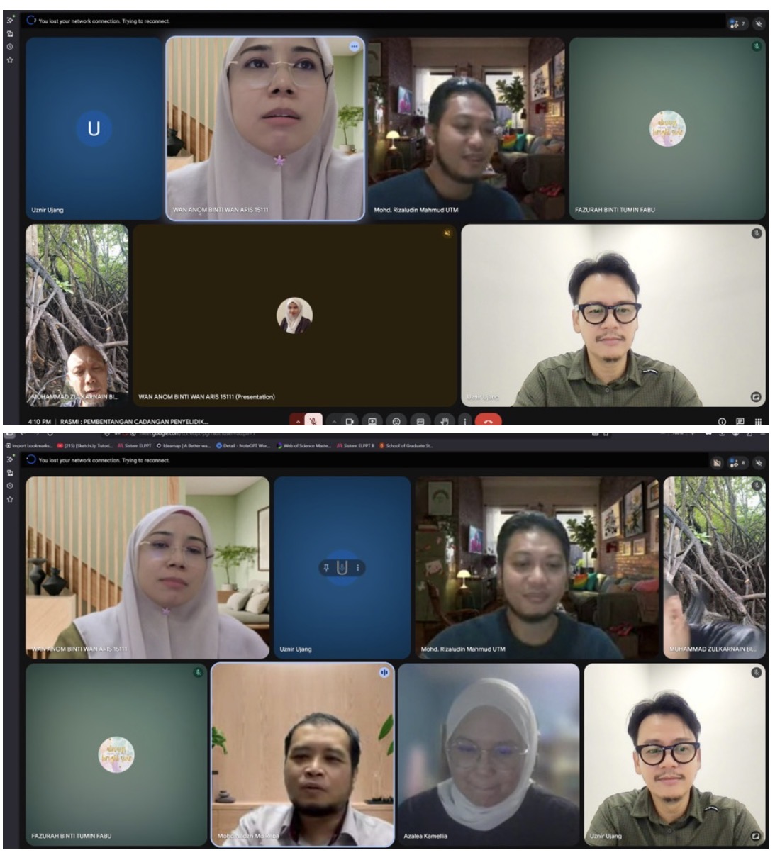
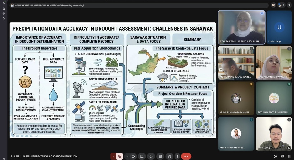
I had the opportunity to serve as the Chairman for a MPhil Proposal Defence session involving Azalea Kamellia Binti Abdullah, whose research focuses on:

“Systematic Calibration of Satellite Precipitation Estimates for Drought Measurement.”

One thing that made this session particularly interesting was that the candidate comes from industry. It is always encouraging to see professionals from industry pursuing advanced research and bringing real-world challenges into academia.

Research on satellite-based precipitation estimation and drought monitoring is becoming increasingly important, especially as climate variability and extreme weather events continue to impact water resources, agriculture, and environmental management. Bridging remote sensing technology with practical decision-making is an area with significant potential and impact.

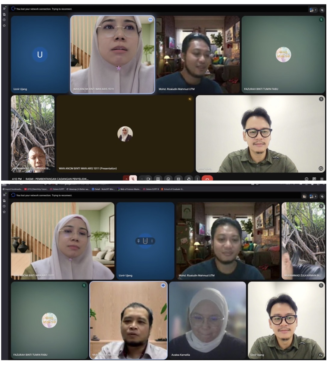
The session was joined by:

  • Prof. Madya Sr Dr. Muhammad Zulkarnain Abdul Rahman
  • Dr. Mohd Rizaludin Mahmoud

Alhamdulillah, everything went smoothly. The candidate presented her work confidently, the discussions were constructive, and the feedback provided will undoubtedly help strengthen the research moving forward.

Congratulations to Azalea on reaching this important milestone. Wishing you all the best as you continue your MPhil journey.

One thing I always enjoy about these sessions is seeing the exchange of ideas between academia and industry. When both worlds come together, research becomes not only academically rigorous but also practically relevant.

#ProposalDefence #PhDJourney #RemoteSensing #DroughtMonitoring #AcademicLife
THE SHAPEFILE SECRET EVERY GIS USER SHOULD KNOW

THE SHAPEFILE SECRET EVERY GIS USER SHOULD KNOW

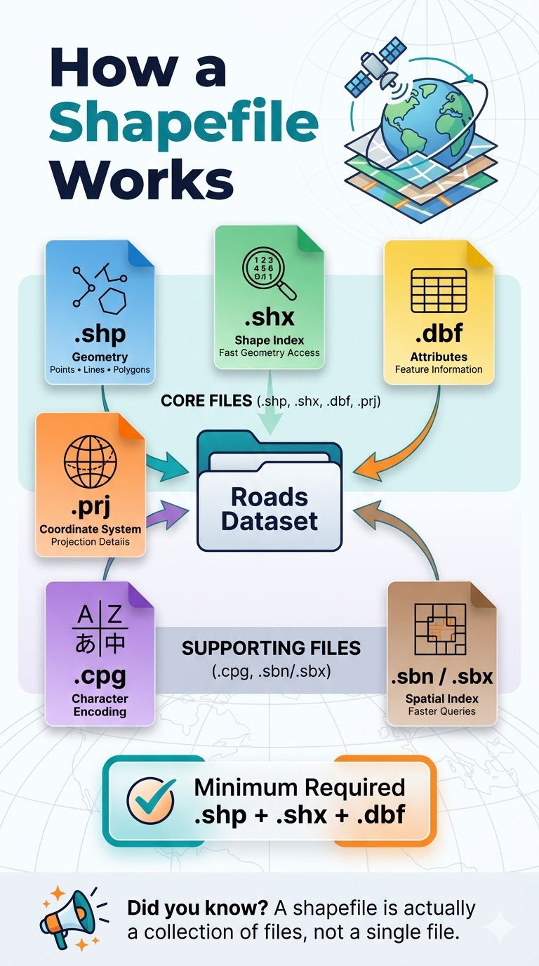
Many GIS beginners assume a shapefile is a single file. It is not. 👀

A shapefile is actually a collection of files that work together to store geographic data and its associated information.

📍 .shp stores the geometry (points, lines, and polygons)
📍 .shx provides an index for fast access to features
📍 .dbf stores the attribute data linked to each feature
📍 .prj defines the coordinate reference system (CRS)
📍 .cpg manages character encoding
📍 .sbn / .sbx improve spatial query performance

✅ Minimum files required for a valid shapefile dataset:
.shp + .shx + .dbf

Without these three core files, most GIS software will not be able to properly read the dataset.

💡 Pro tip: When sharing shapefiles, always send the entire folder or compress all related files into a ZIP archive. Sending only the .shp file is one of the most common GIS mistakes.

Understanding these file components is a small detail that can prevent big headaches in your GIS workflow.

Have you ever received a shapefile that would not open because some files were missing?

#GIS #Geospatial #Shapefile #SpatialData #GISLearning

H-INDEX 20: A MILESTONE I NEVER EXPECTED

Screenshot

H-INDEX 20: A MILESTONE I NEVER EXPECTED

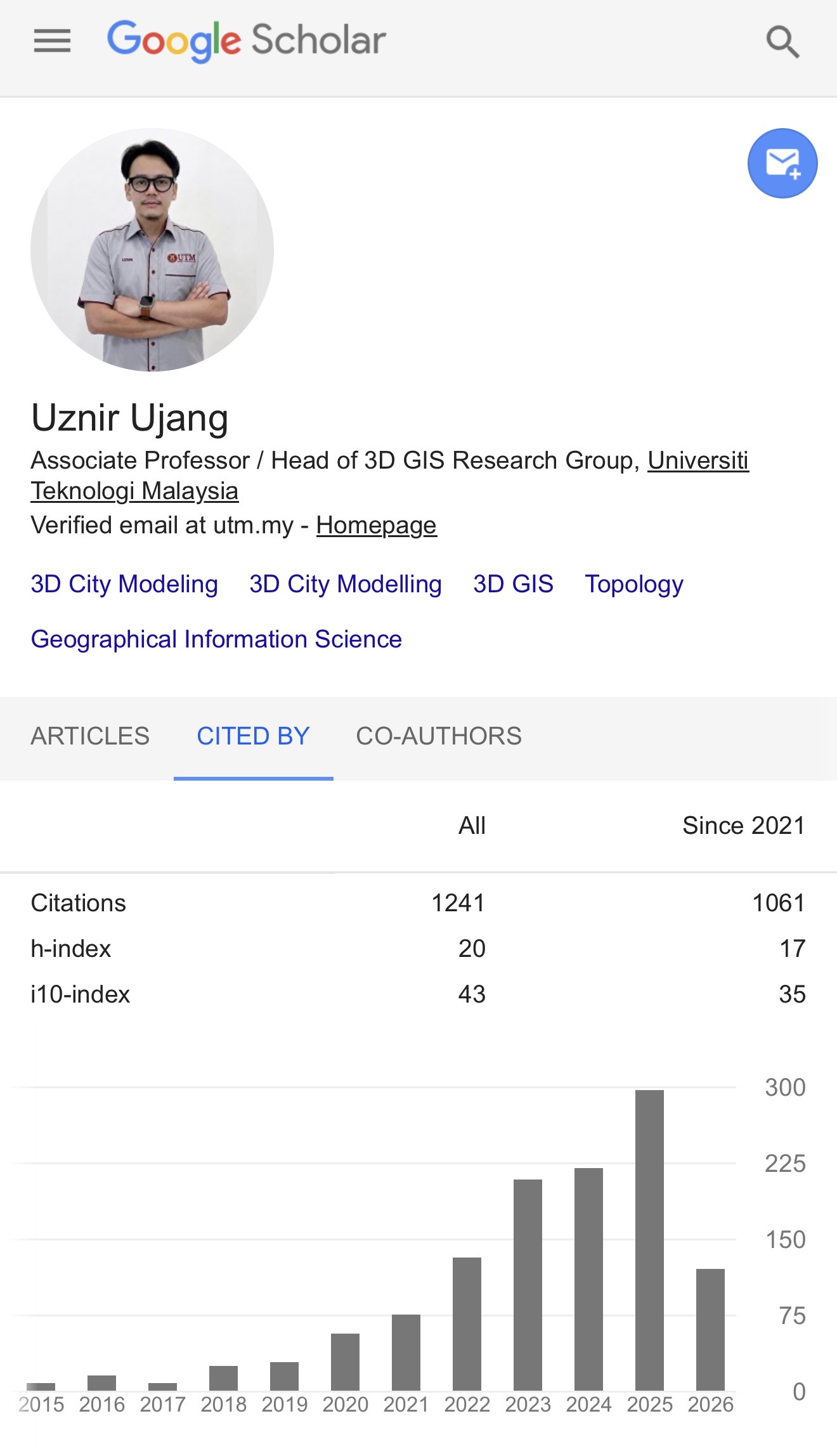
Today, while checking my Google Scholar profile, I noticed something that made me pause for a moment.

My H-index has reached 20.

To be honest, when I first started my academic journey, I never imagined I would get here. I believe at the moment I have the highest H-index in my department for GIS field of study.

Some people may say that an H-index of 20 is not particularly high. In certain disciplines, it might even be considered modest. But for me, and for the field that I work in, it is a meaningful milestone.

The research areas I have been involved in, we were once considered highly specialised and niche. The community was relatively small, and naturally, there were not many researchers working on similar topics.

Sometimes it felt like being a minority within an already small minority.

Publishing was not always easy. Finding collaborators was not always easy. Convincing others of the value of certain research directions was not always easy.

But we kept going.

Over the years, I have been fortunate to work with many wonderful students, colleagues, collaborators, and mentors. Every paper, citation, discussion, supervision session, conference presentation, and research project contributed to this journey.

So this milestone does not belong to me alone.

It belongs to everyone who has contributed, collaborated, cited our work, challenged our ideas, and helped shape the research community that exists today.

What makes me happiest is not the number itself.

It is seeing how much the community has grown.

Topics that once attracted only a handful of researchers are now receiving increasing attention. New ideas are emerging, new collaborations are being formed, and the research landscape has become far more vibrant and exciting than when I first entered the field.

I am grateful to have witnessed that growth and even more grateful to have played a small part in it.

Thank you to everyone who has been part of this journey.

Now, back to work. There are still many interesting questions waiting to be explored.

#ResearchJourney #GoogleScholar #HIndex20 #Geoinformatics #AcademicLife
PUBLICATION CHAIR FOR RSTIP 2026

PUBLICATION CHAIR FOR RSTIP 2026

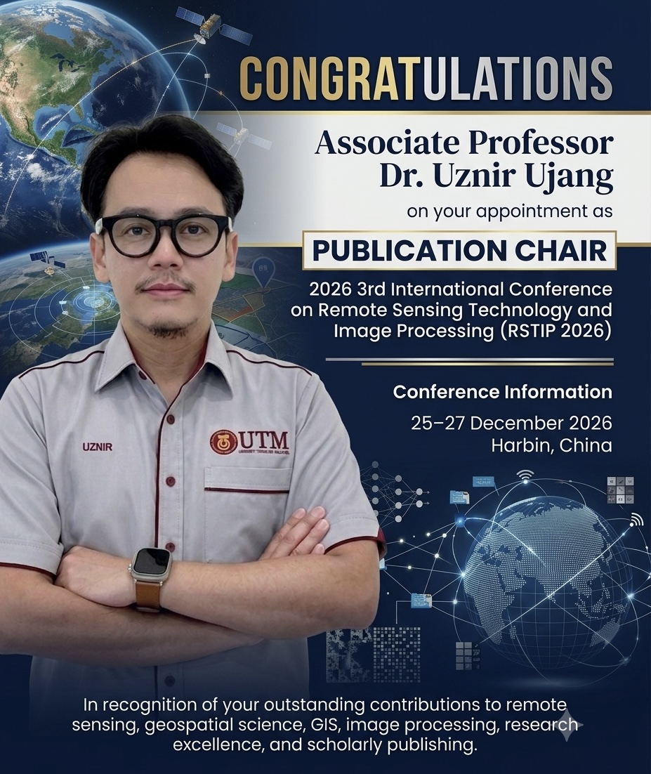
I have been appointed as the Publication Chair for the 3rd International Conference on Remote Sensing Technology and Image Processing (RSTIP 2026), which will be held in Harbin, China, from 25-27 December 2026.

RSTIP has established itself as an international platform for researchers, academics, and industry professionals to exchange ideas and showcase advancements in remote sensing technology, geospatial science, GIS, image processing, and related disciplines. The conference provides valuable opportunities for collaboration and knowledge sharing among experts from around the world.

As Publication Chair, I will be responsible for overseeing the conference publication process, supporting the peer-review workflow, and ensuring that accepted papers meet the high scholarly standards expected of an international scientific conference. This role also involves working closely with the organizing committee, reviewers, and authors to facilitate the dissemination of quality research contributions to the global research community.

Having spent many years engaged in research, teaching, supervision, and scholarly publishing within the geospatial and remote sensing domains, I am particularly pleased to contribute to a conference whose themes closely align with my academic and professional interests. The appointment reflects an opportunity to further support research excellence and foster international collaboration within these rapidly evolving fields.

I would like to express my sincere appreciation to the conference organizers for their trust and confidence in entrusting me with this responsibility. I look forward to working with colleagues and researchers worldwide to help make RSTIP 2026 a successful and impactful event.

I warmly welcome researchers, practitioners, and students interested in remote sensing, geospatial technologies, and image processing to participate in RSTIP 2026 and contribute to this exciting international forum.

https://www.rstip.org

#RSTIP2026

#RemoteSensing

#GeospatialScience

#AcademicLeadership

#ScholarlyPublishing

THE COVER IS READY!

THE COVER IS READY!

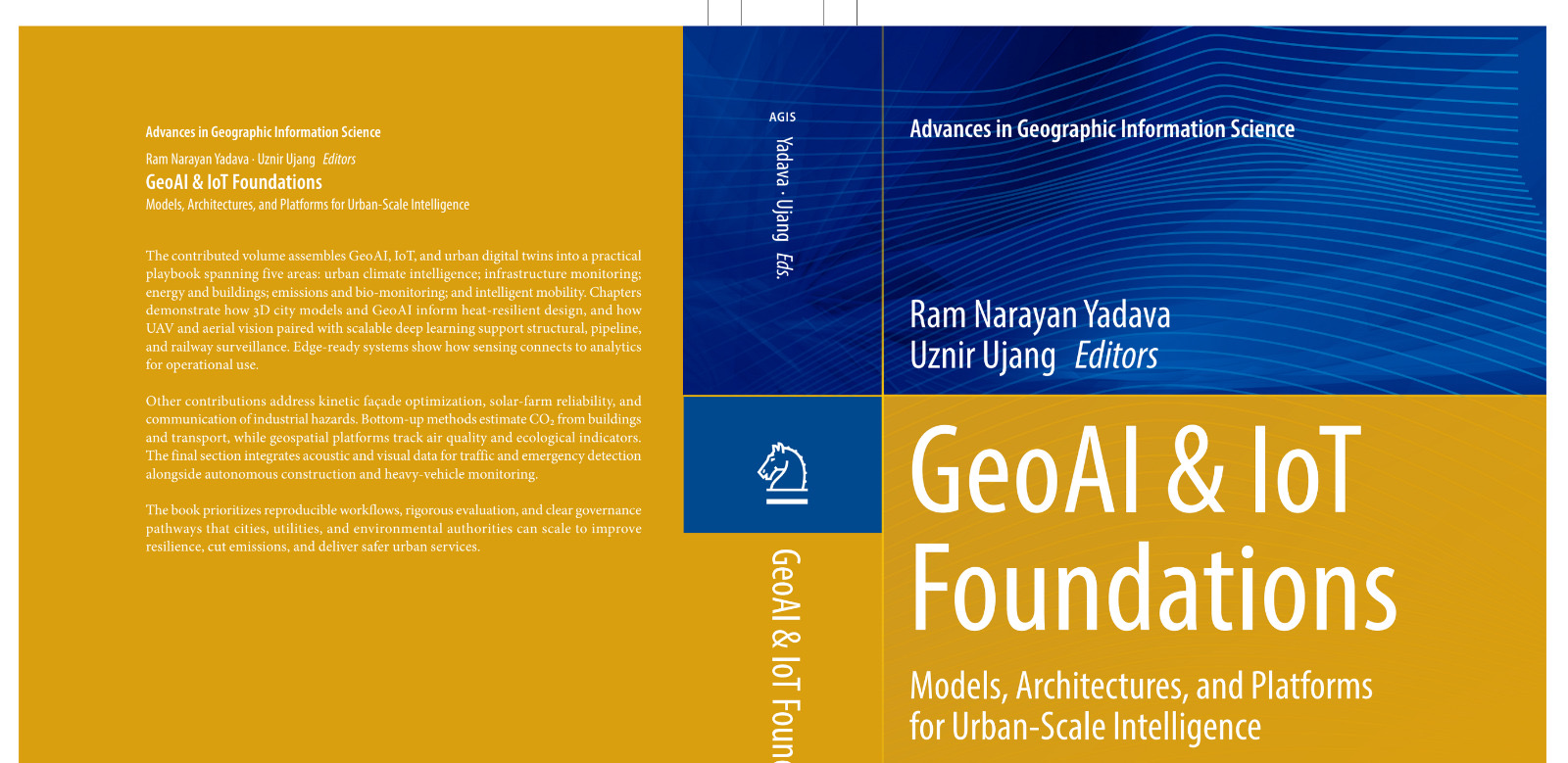
Just got the cover design for my book!

GeoAI & IoT Foundations: Models, Architectures, and Platforms for Urban-Scale Intelligence explores how GeoAI and IoT can be integrated to power intelligent urban systems and smart city applications. I’m also honoured to have this work published by Springer.

Seeing it finally come together feels surreal. Can’t wait to hold the finished copy in my hands. Absolutely loving this cover and counting down the days until it’s officially out!

#BookCover #GeoAI #IoT #AcademicPublishing #Springer #Research #AuthorLife #ComingSoon

HARUM MANIS DAY

HARUM MANIS DAY

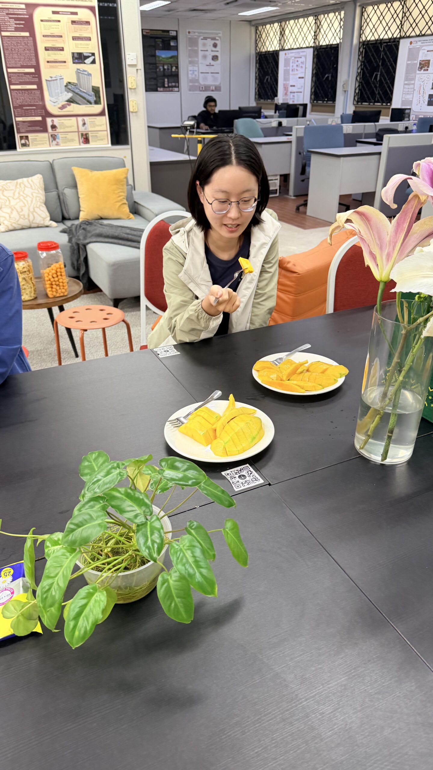
Holiday mood because JDT won again.

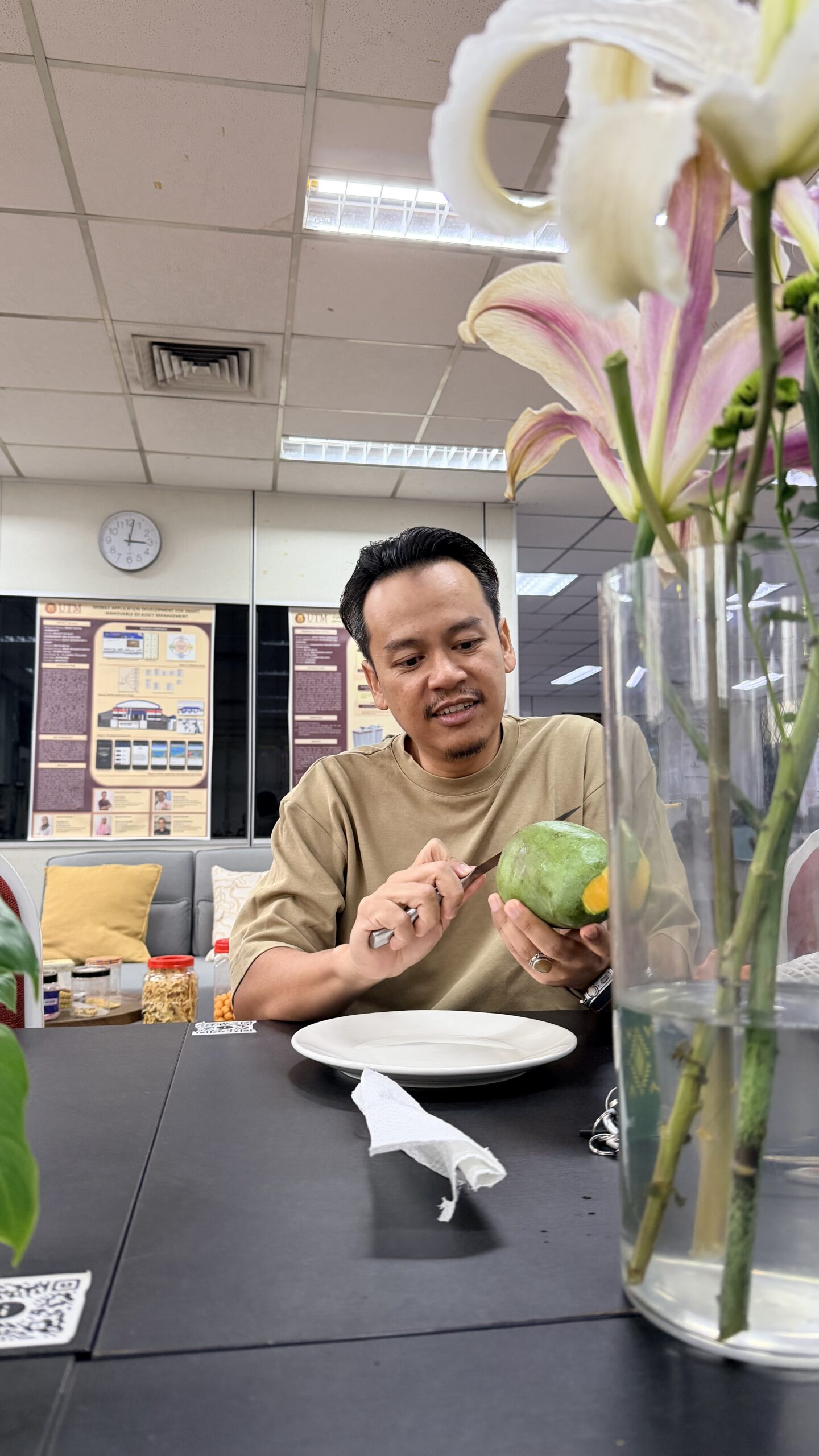
But we still came to the lab to spend time with the students.

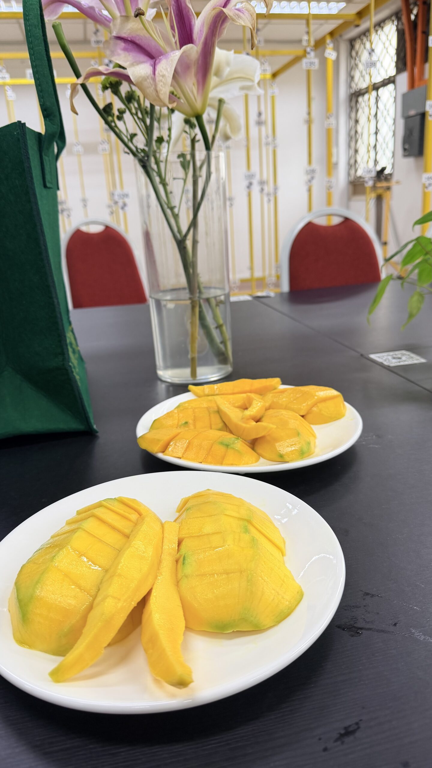
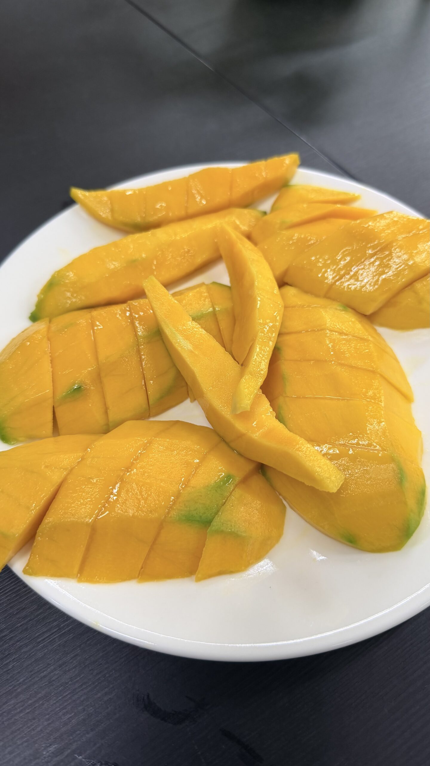
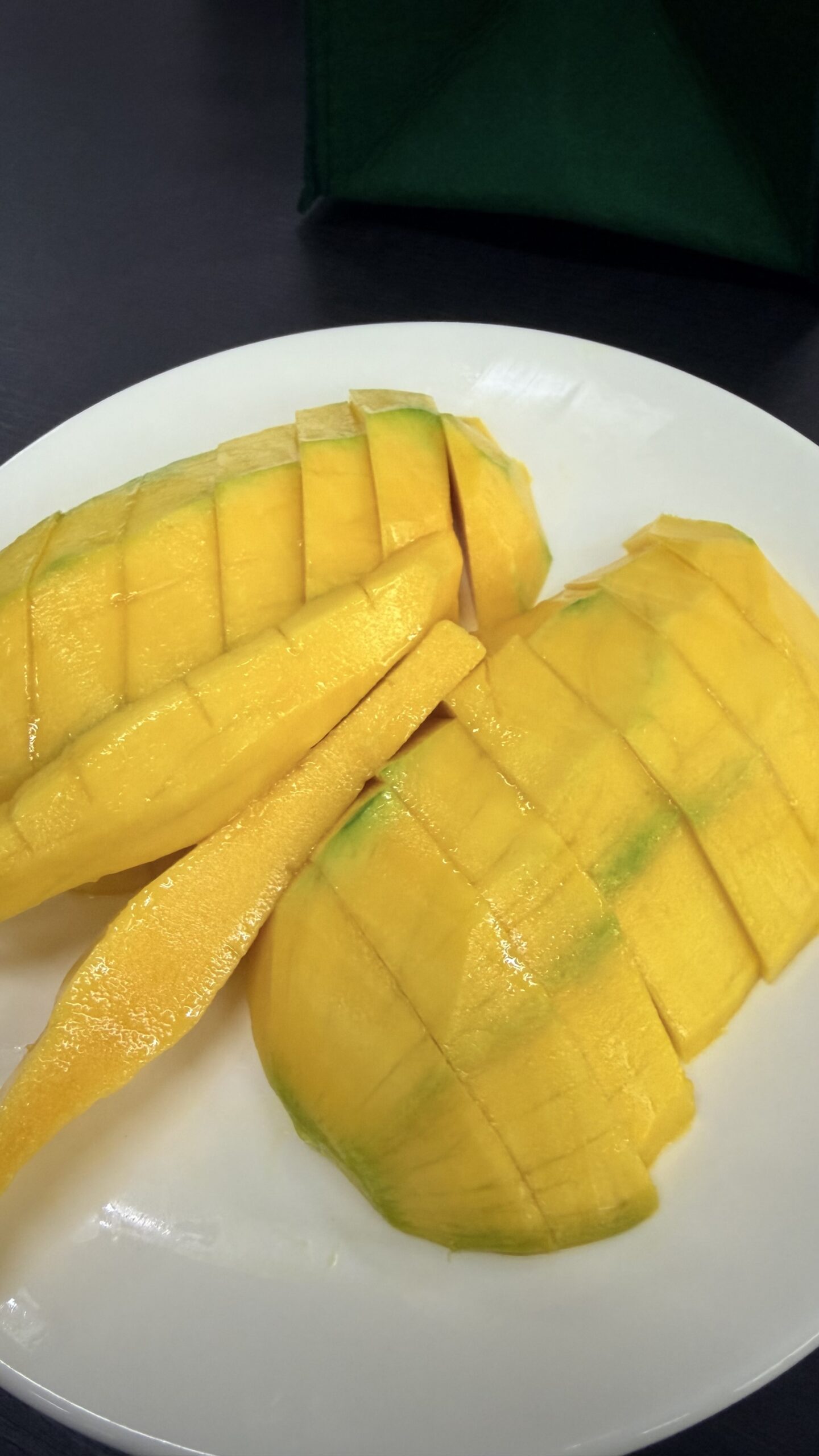
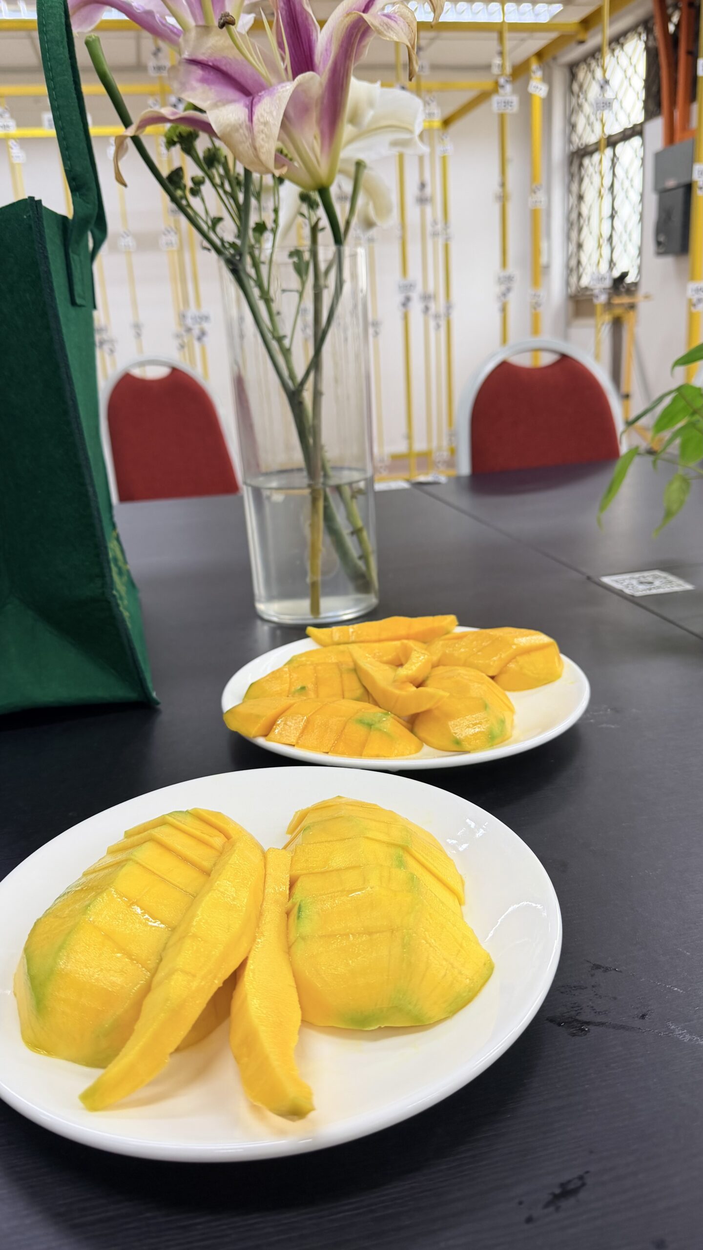
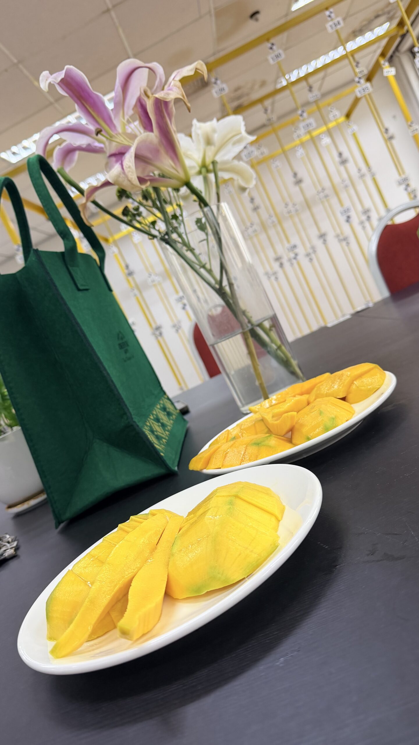
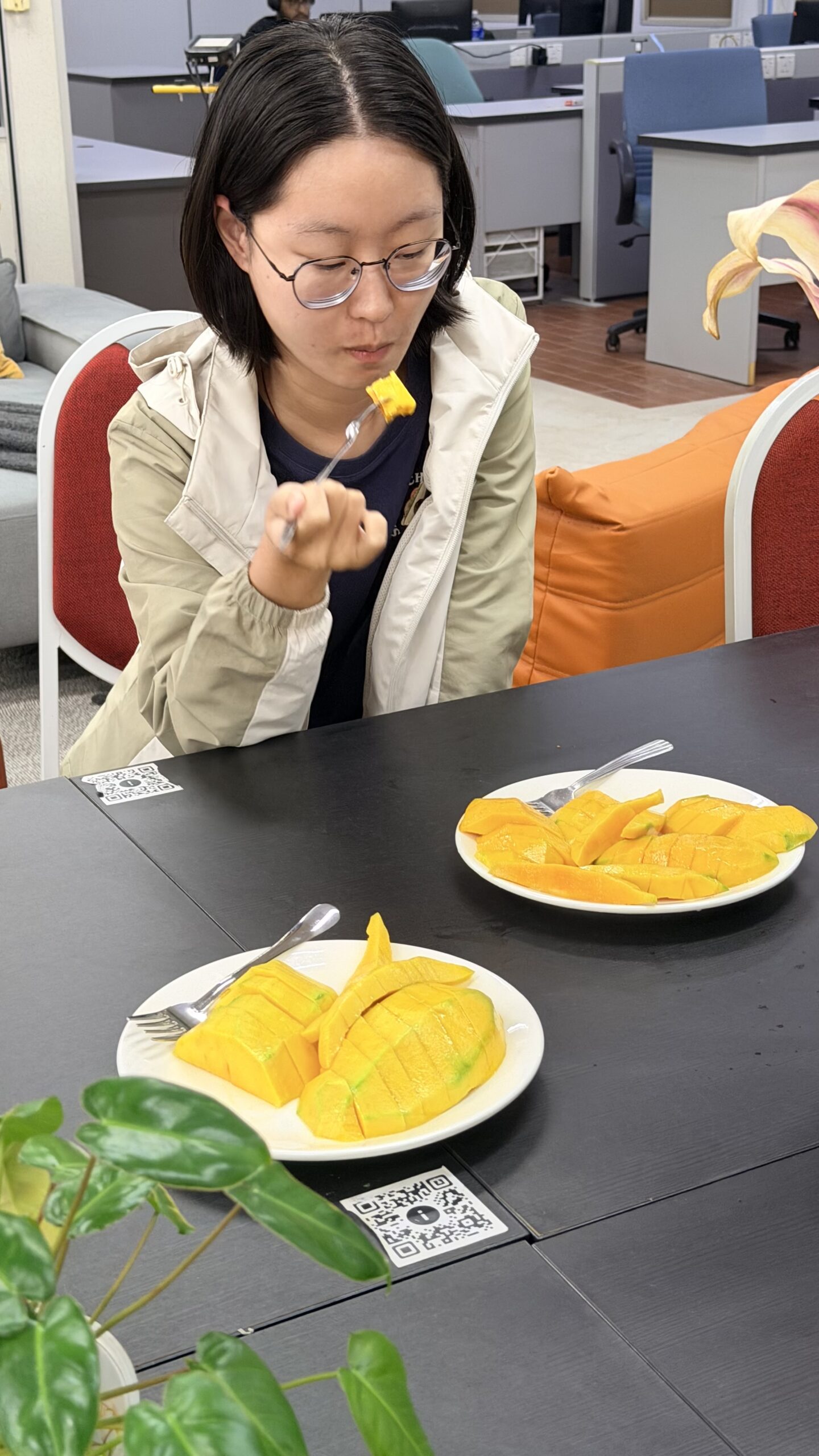
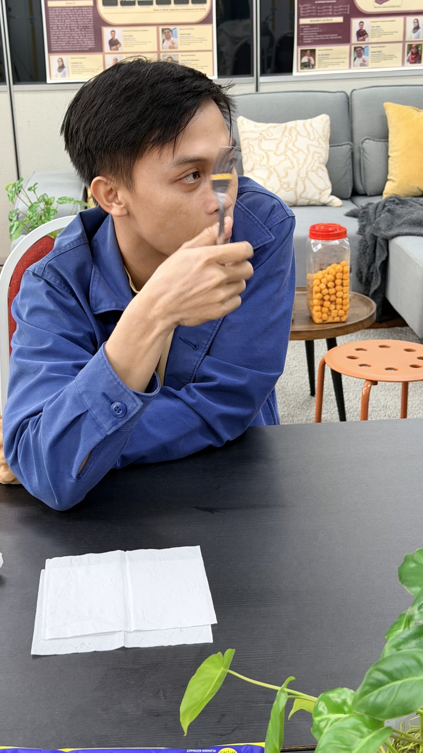
So today’s lab session came with a special treat, Harum Manis mangoes all the way from Perlis.

Those who were fasting got one each to take home and enjoy later.

The rest? Straight away makan in the lab.

Last batch for this season…

Harum Manis, hope to see you again next year.

WFH HAS ITS PROS AND CONS 

Screenshot

WFH HAS ITS PROS AND CONS 

Working from home (WFH) definitely has its advantages.

Sometimes, it gives the quiet space needed to focus deeply on research, writing, analysis, and all the “deep work” that usually requires uninterrupted concentration.

But at the same time, there is also the other side of academic life.

Sometimes students are stuck.

Sometimes they need guidance, reassurance, or just someone to discuss their research problems with. And honestly, it is hard to just leave them struggling alone.

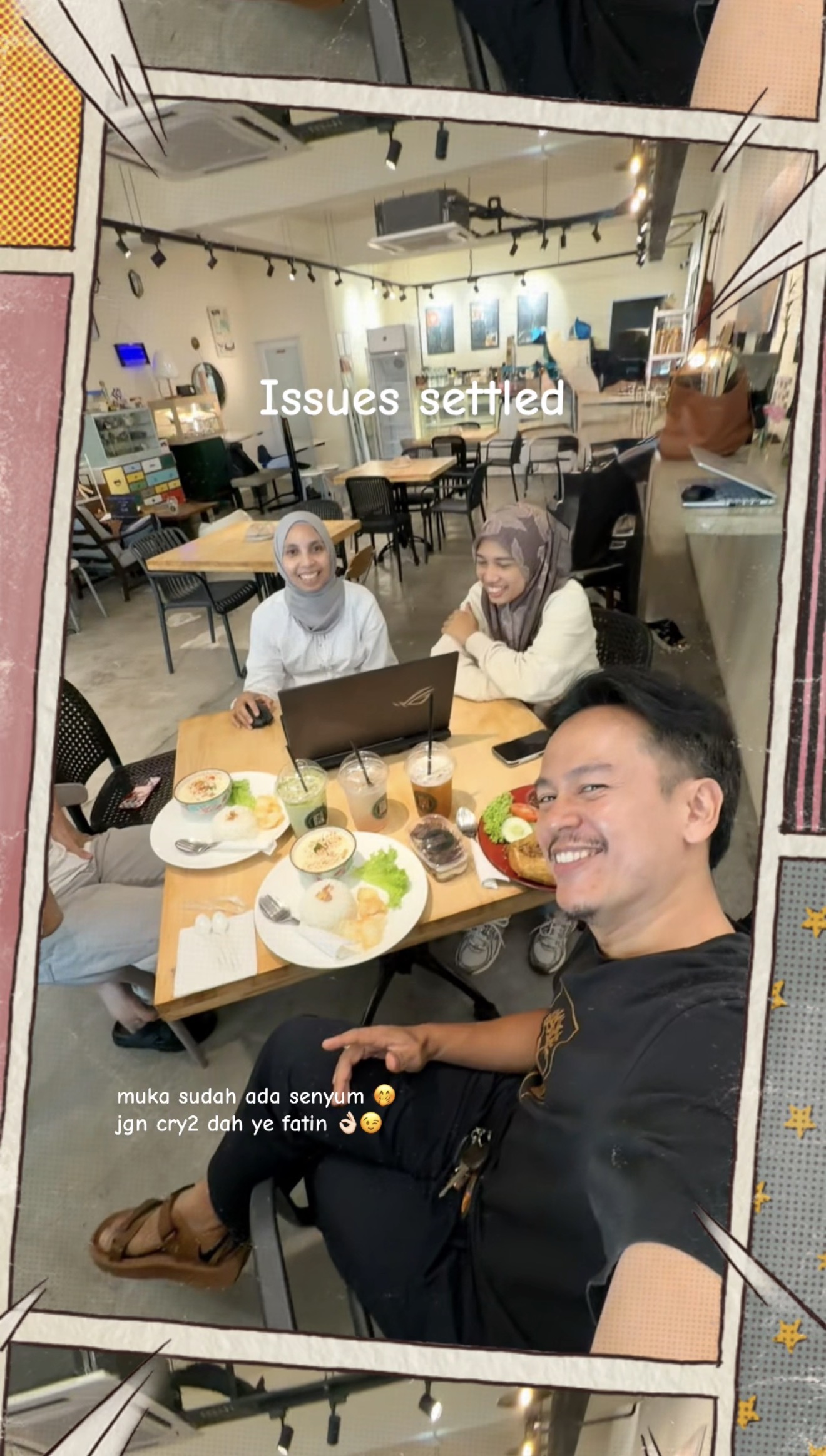
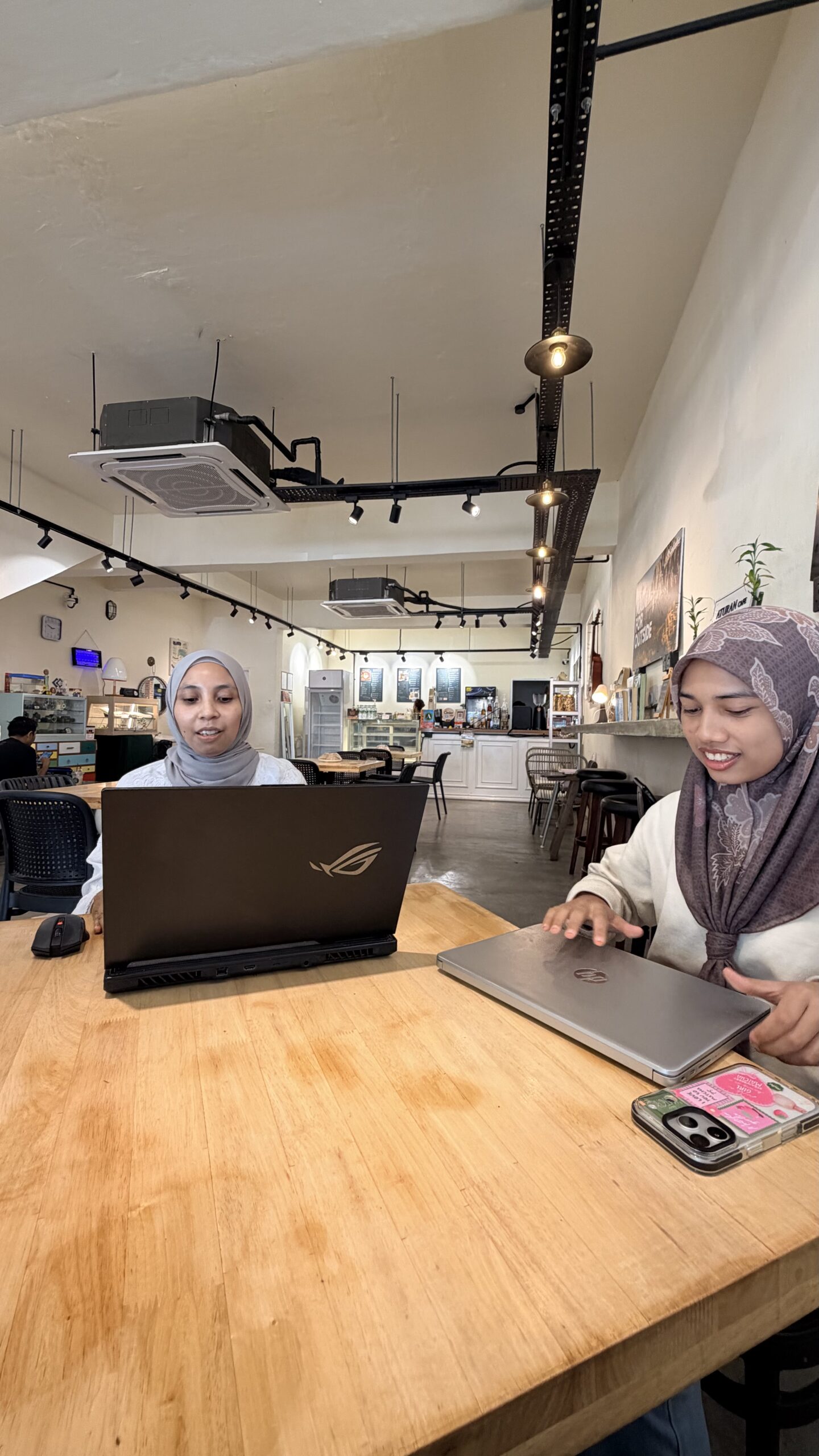
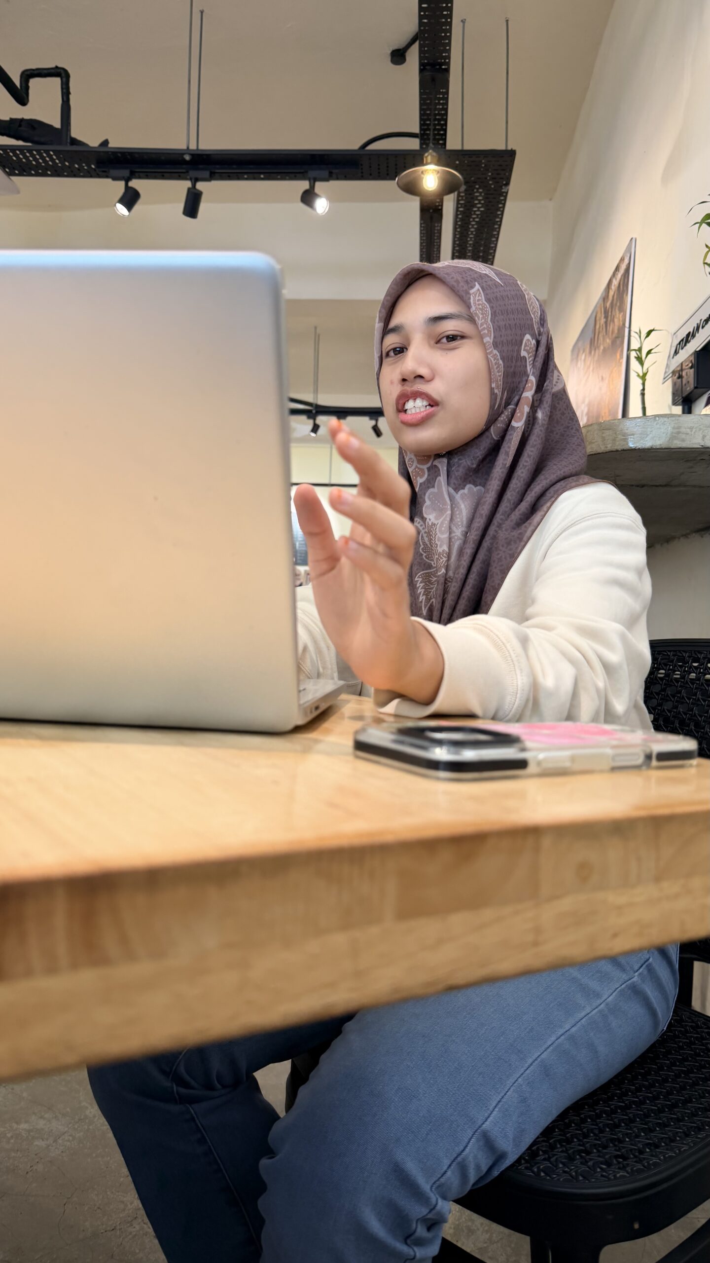
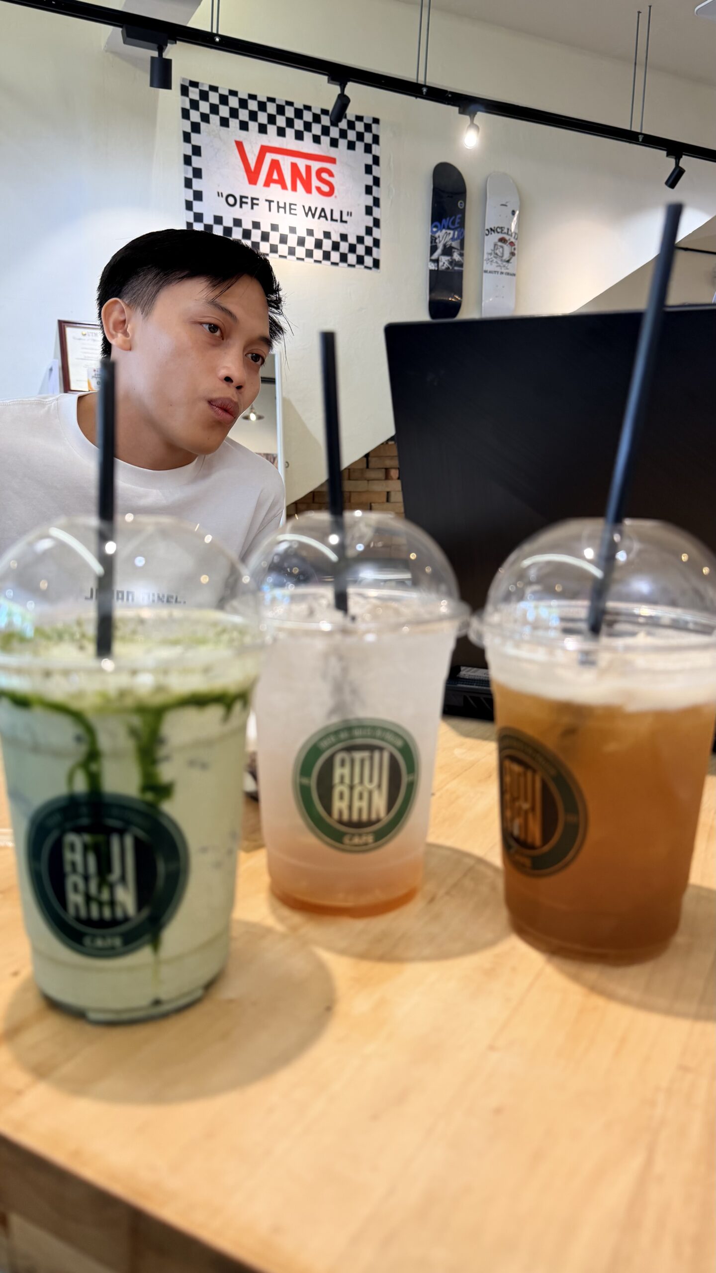
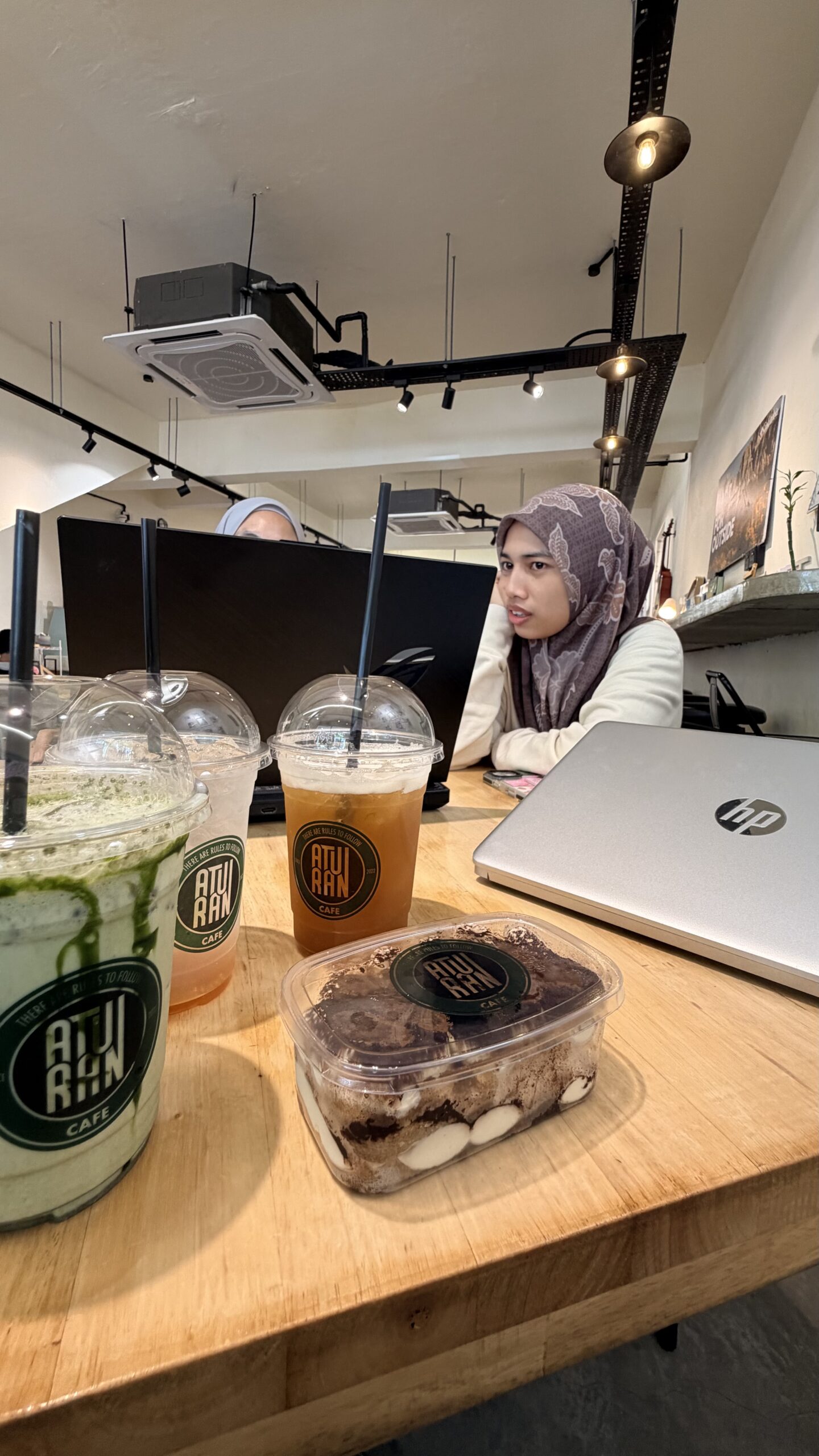
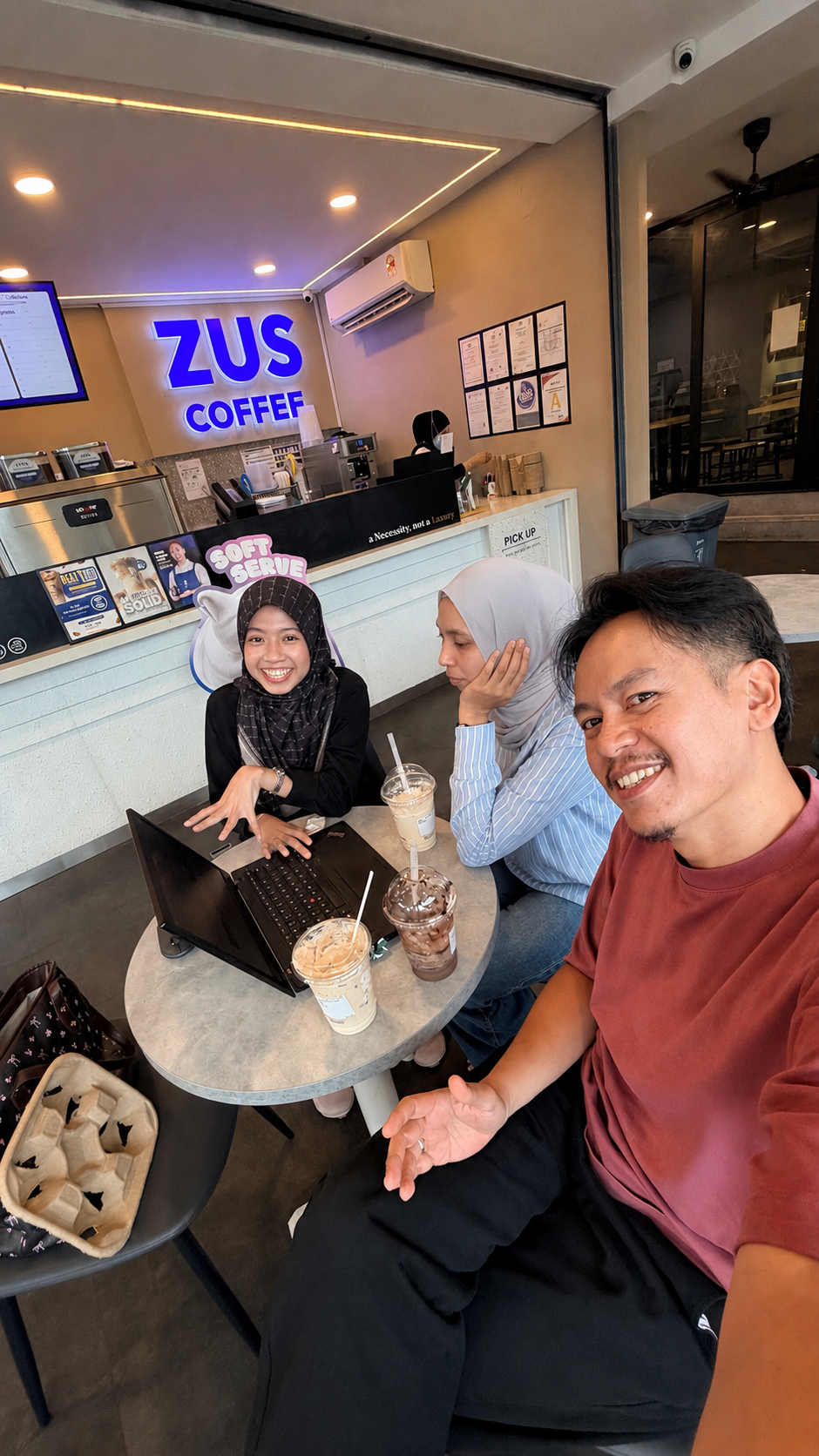
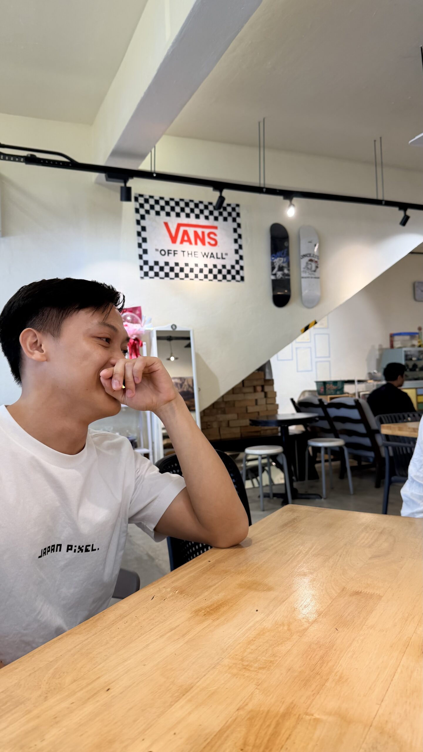
So today, instead of staying at home, we met at a coffee shop outside campus for a quick research discussion session.

In the end, the issues were settled, the students were smiling again, and everyone got to eat good food too.

Academic life is not only about papers and deadlines.

Sometimes it is simply about being present when students need help the most.

#AcademicLife #WFH #PostgraduateLife #ResearchMentoring #CoffeeAndResearch
RESEARCH DISCUSSIONS DON’T ALWAYS HAPPEN IN LABS

RESEARCH DISCUSSIONS DON’T ALWAYS HAPPEN IN LABS

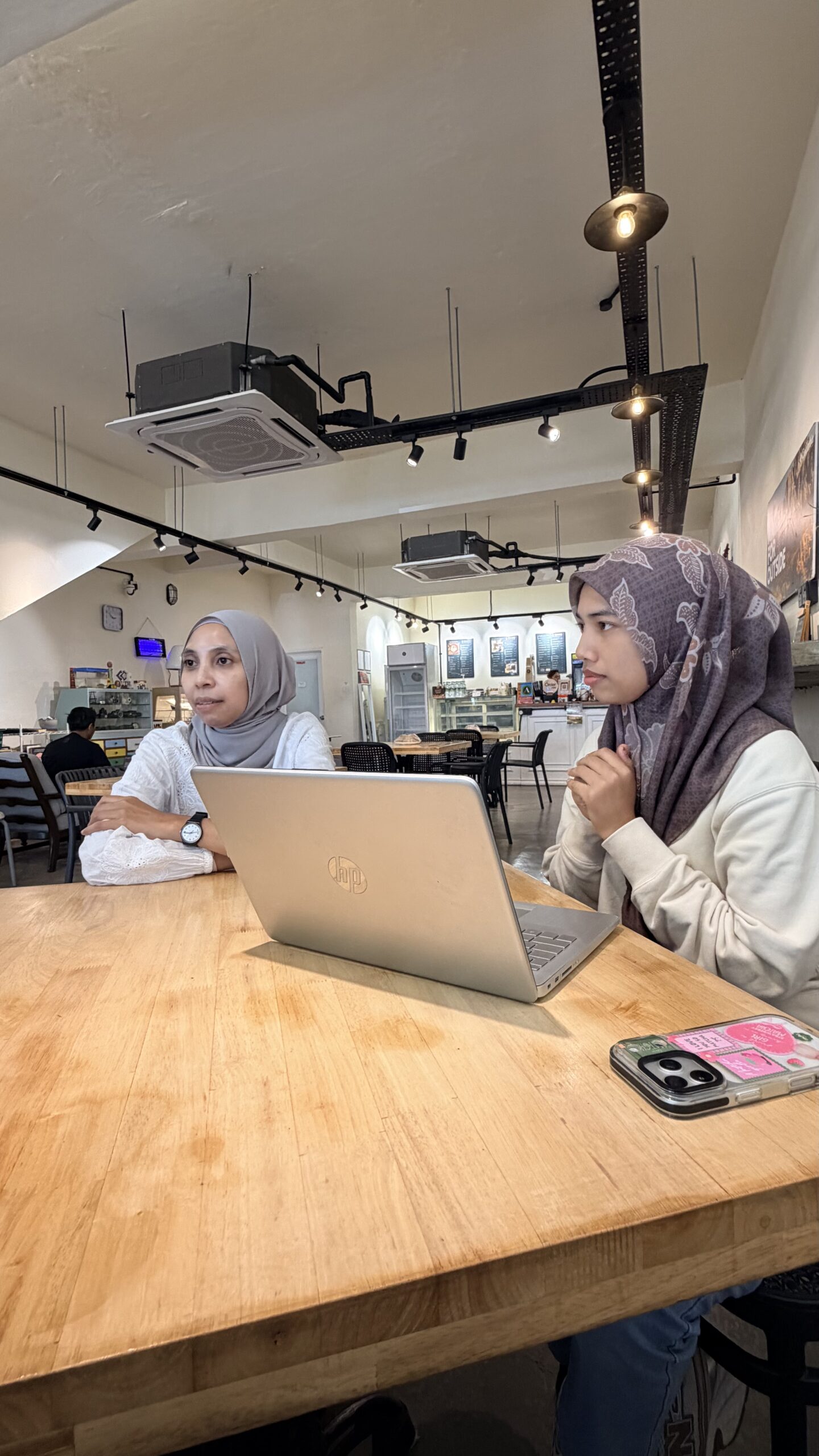
Sometimes, the best research discussions happen over coffee in campus cafés.

Today was supposed to be just a simple lunch outing by the sea. But halfway through the day, an idea suddenly came to mind. One of those moments where a research direction just clicks unexpectedly.

So we made our way back to UTM and had a quick catch-up session at ZUS Coffee with my postgraduate student, Amirah.

As researchers and supervisors, sometimes when inspiration comes, you just cannot wait too long to share it. Ideas are fragile. If not discussed early, they might disappear just as quickly as they arrive.

What I appreciate most is seeing the excitement and curiosity from students when discussing new possibilities, new methods, and future research directions. Those small moments remind us why academic mentoring matters.

Research is not only about publications, grants, or conferences.
Sometimes it is simply about conversations, guidance, encouragement, and helping students believe they can go further than they think.

You are doing well, Amirah. Keep going. One step at a time.

#PostgraduateLife #ResearchJourney #AcademicMentoring #CampusLife #ResearchDiscussion

ANOTHER DAY, ANOTHER VIVA SESSION 

ANOTHER DAY, ANOTHER VIVA SESSION 

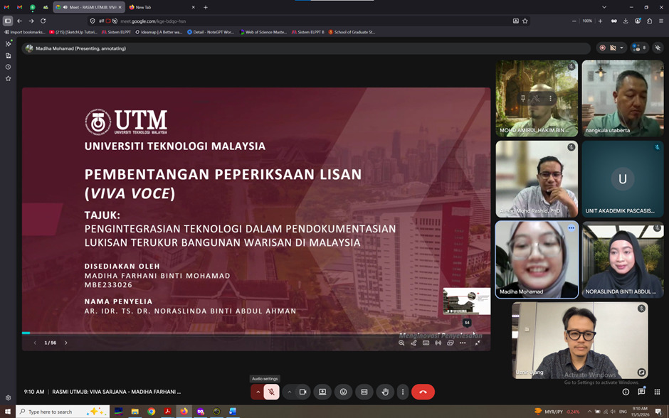
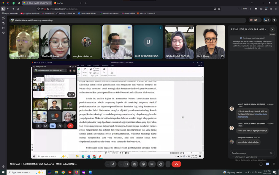
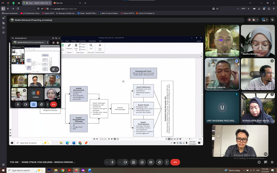
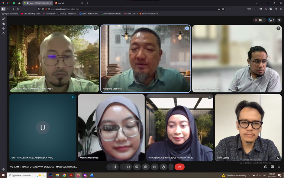
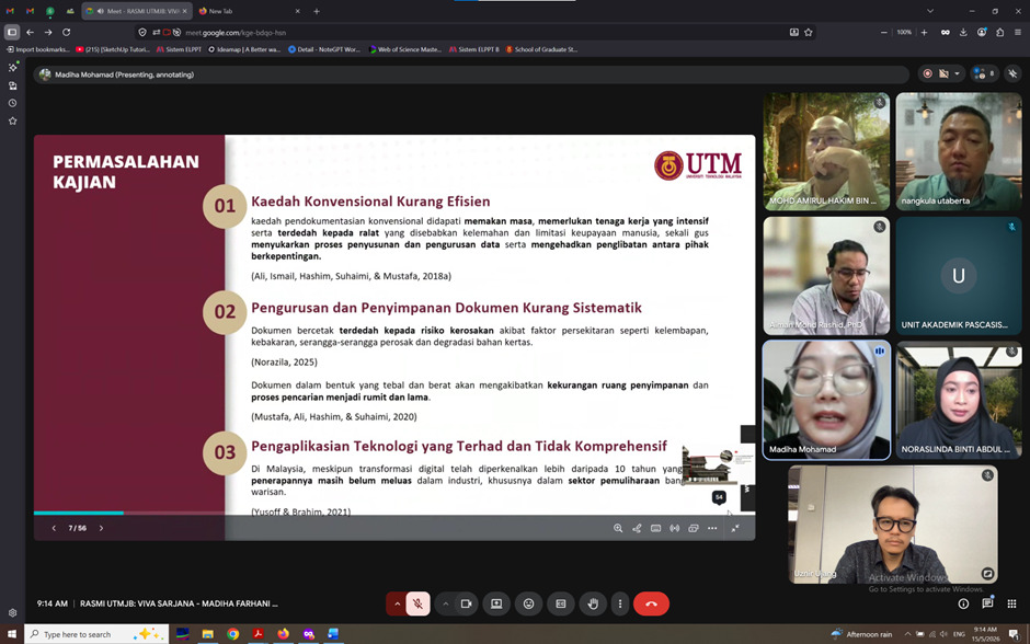
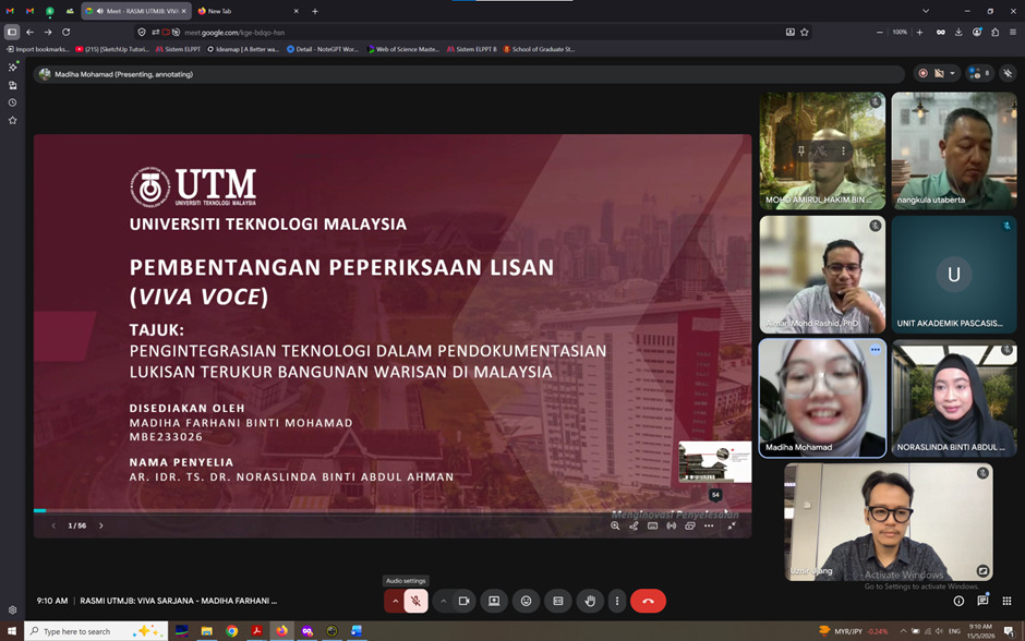
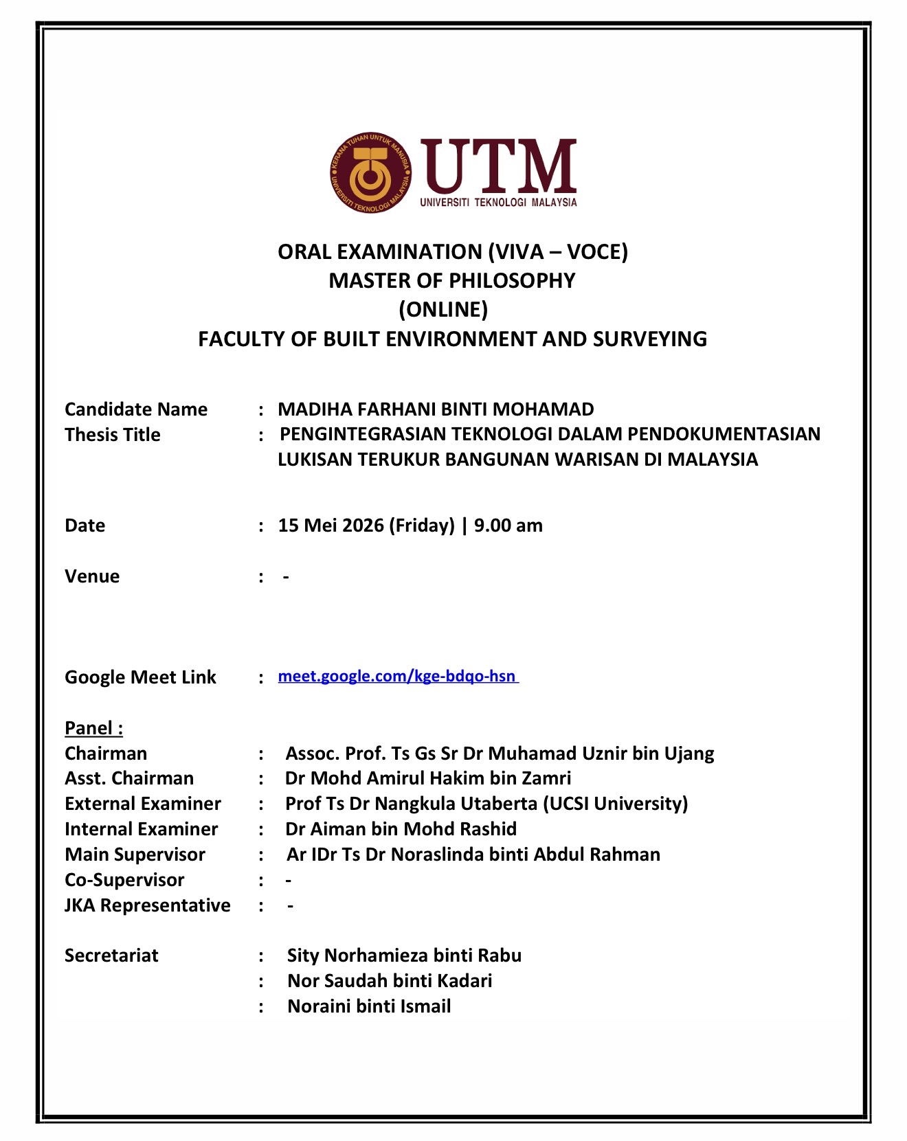
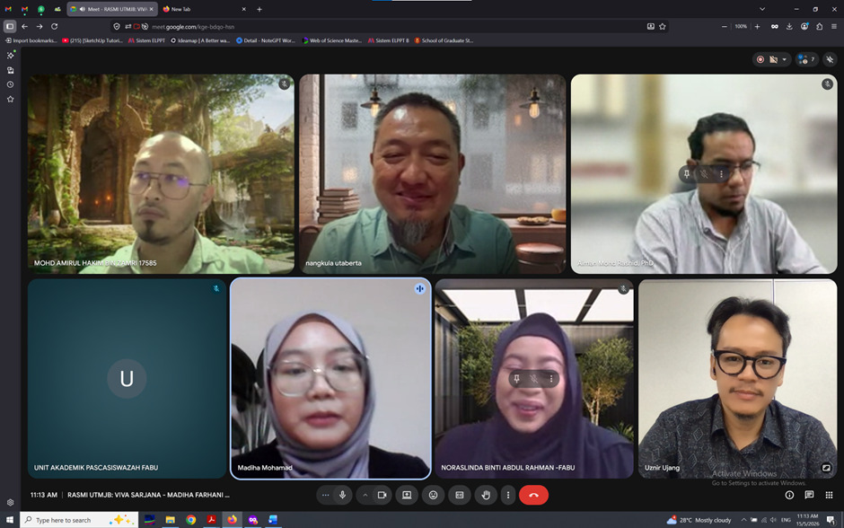
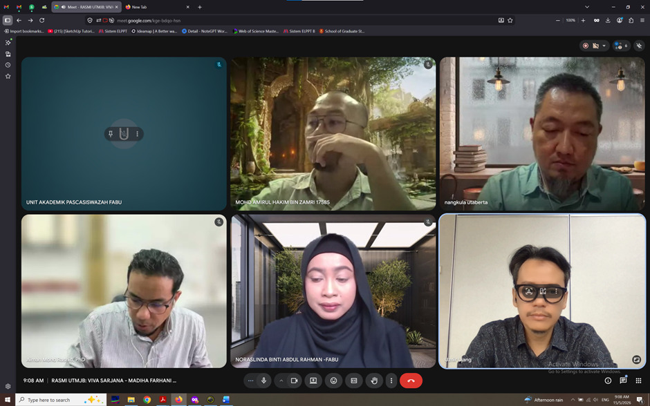
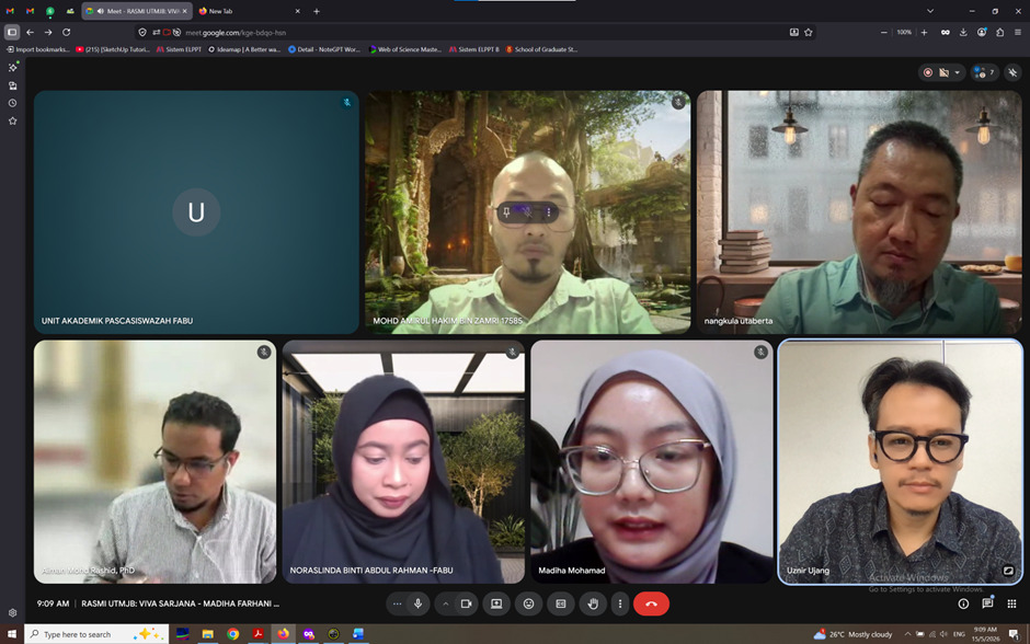
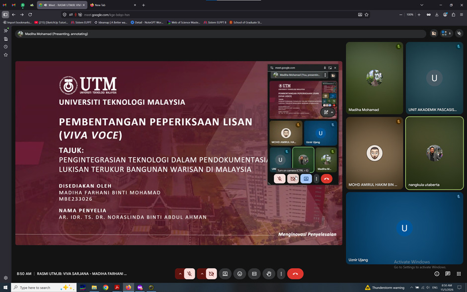
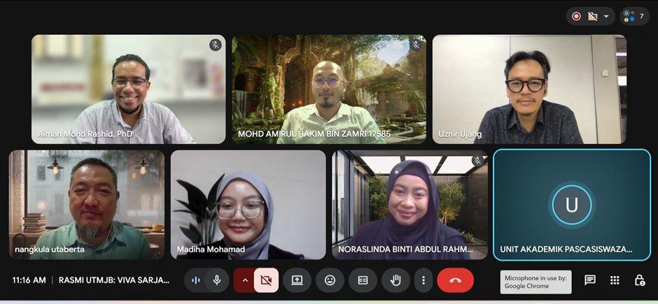
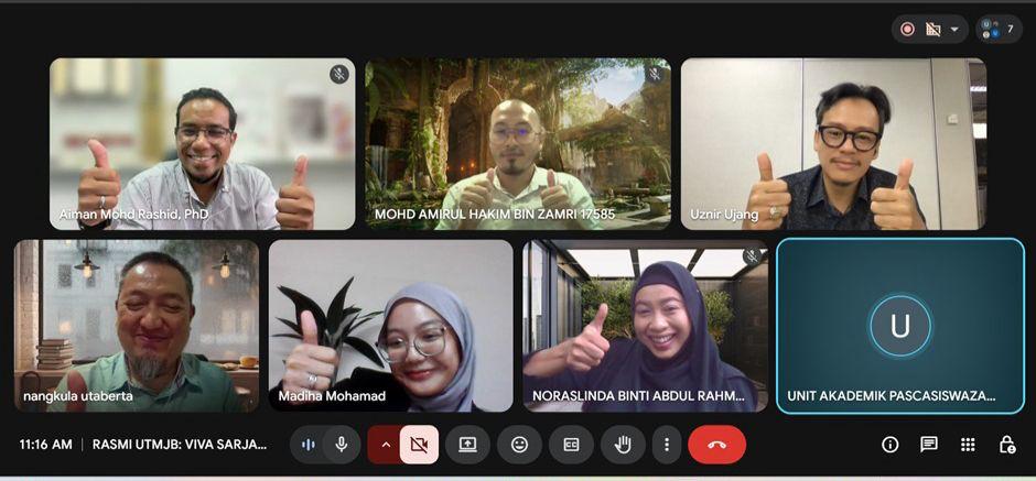
Had the opportunity to serve as the Chairman for a Master of Philosophy viva voce session at the Faculty of Built Environment and Surveying, UTM.

The research by Madiha Farhani binti Mohamad focuses on the integration of technology in the documentation of heritage building measured drawings in Malaysia.

What makes this work particularly interesting is the use of LiDAR and photogrammetry technologies within the architectural and measured drawing field. These technologies are becoming increasingly important for capturing accurate spatial information, preserving heritage assets, and improving documentation efficiency compared to traditional manual approaches.

The integration of geospatial technologies with architectural conservation is something that will continue to grow in importance, especially for digital heritage preservation and future smart documentation workflows.

I would also like to acknowledge the panel involved in today’s examination session:

  • External Examiner: Prof Ts Dr Nangkula Utaberta (UCSI University)
  • Internal Examiner: Dr Aiman bin Mohd Rashid
  • Main Supervisor: Ar IDr Ts Dr Noraslinda binti Abdul Rahman
  • Assistant Chairman: Dr Mohd Amirul Hakim bin Zamri

Congratulations to the candidate and all involved in making the session successful. Wishing the candidate all the best for the next academic journey ahead.

Academic responsibility continues.

#VivaVoce #LiDAR #Photogrammetry #HeritageDocumentation #AcademicLife
ANOTHER INVITATION, ANOTHER RESPONSIBILITY 

Screenshot

ANOTHER INVITATION, ANOTHER RESPONSIBILITY 

Sometimes, opportunities come from places you didn’t specifically plan for.

I was invited to join the Technical Committee Board for the African Smart Cities & Innovation Congress 2026 (ASCIC 2026).

An international platform that brings together researchers, policymakers, and industry players in smart cities, AI, IoT, big data, and urban innovation. The event will be held in Laâyoune, Morocco.

What makes it even more interesting

Morocco is geographically part of Africa, but culturally and historically it also connects strongly with the Arab world and Europe. It sits at a unique crossroads of regions.

Morocco is home to Fes, where the University of Al Quaraouiyine, founded in 859 AD, is widely recognized as among oldest continuously operating university in the world. A strong reminder that knowledge and scholarship have deep roots there.

For me, invitations like this are more than recognition. They come with responsibility.

When there are limited experts in a specific niche, invitations tend to come more often. With that comes the responsibility to contribute, review rigorously, and help safeguard academic quality not just locally, but globally.

Looking forward to contributing to this international effort.

#AcademicLife #SmartCities #ResearchCommunity #PeerReview #GlobalCollaboration