Tag Archives: Higher Education

NEW BOOK PUBLISHED BY SPRINGER NATURE


NEW BOOK PUBLISHED BY SPRINGER NATURE

Another small milestone to close this week on a good note.

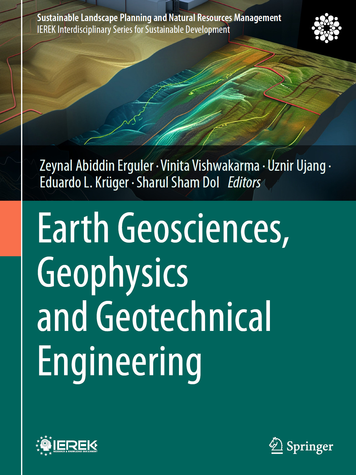
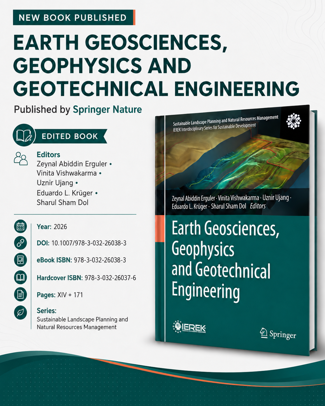
Happy to share that our edited book, “Earth Geosciences, Geophysics and Geotechnical Engineering”, has officially been published by Springer Nature.

I had the opportunity to serve as one of the editors together with Zeynal Abiddin Erguler, Vinita Vishwakarma, Eduardo L. Krüger, and Sharul Sham Dol.

The book brings together multidisciplinary works related to earth geosciences, geophysics, geotechnical engineering, geospatial analysis, remote sensing, environmental studies, sustainable infrastructure and urban intelligence.

Always nice to see months of coordination, reviewing, editing and communication finally turn into a published book on the Springer platform. 📖

Thank you to all the editors, authors and everyone involved in making this publication possible. Alhamdulillah for another contribution to the academic bookshelf. 🤲🏻

📘 Earth Geosciences, Geophysics and Geotechnical Engineering
🏛️ Springer Nature
📅 2026
🔗 DOI: 10.1007/978-3-032-26038-3

#SpringerNature #AcademicPublishing #Geosciences #Geospatial #Research
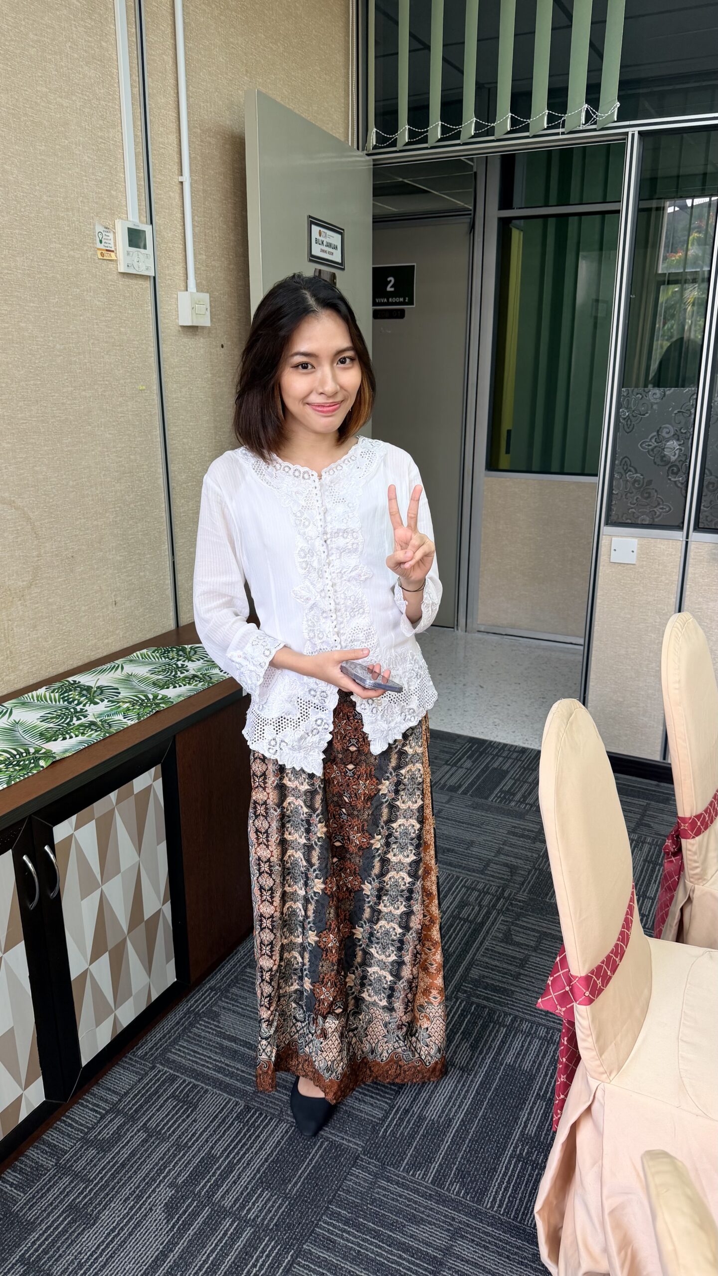
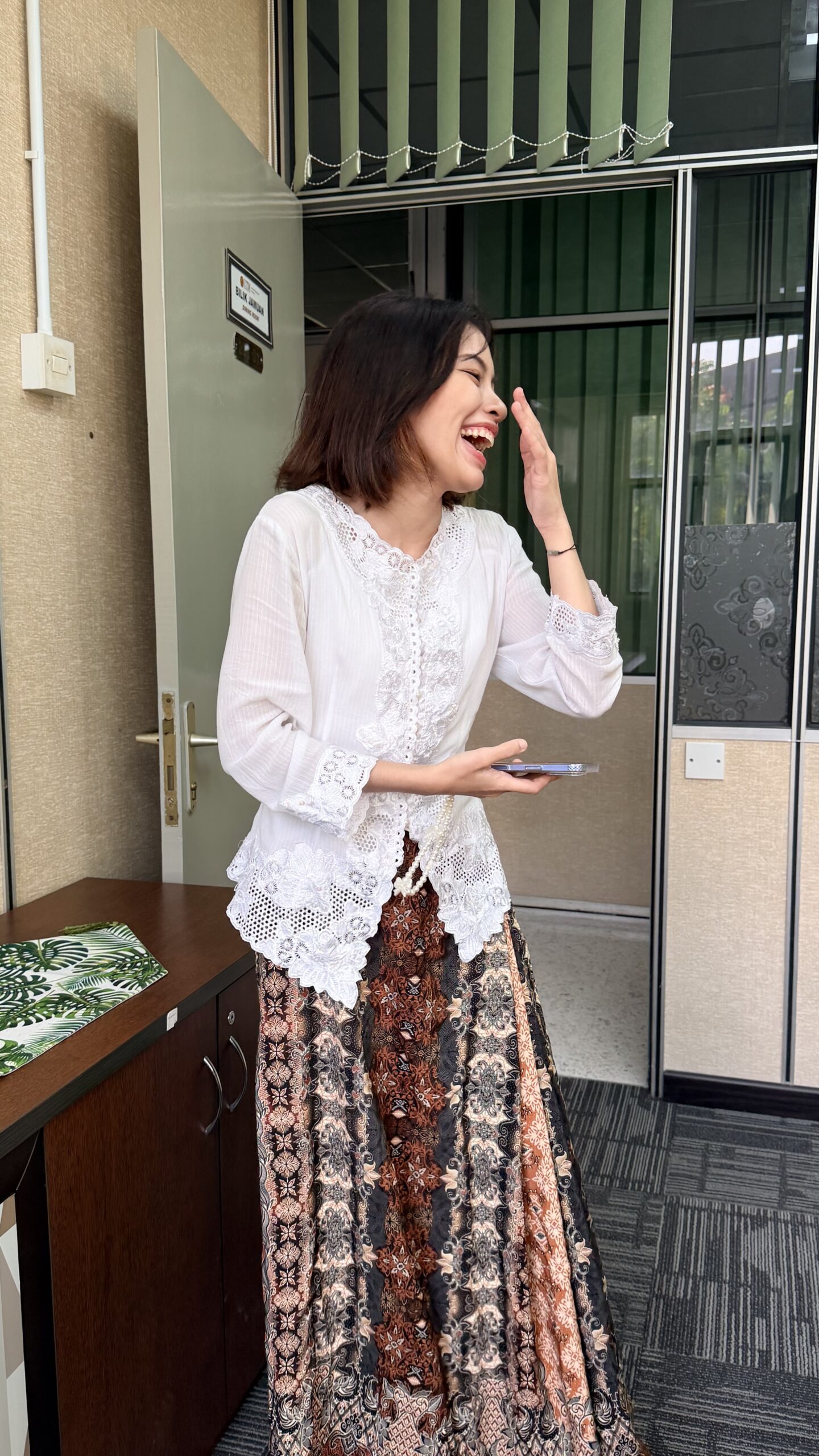
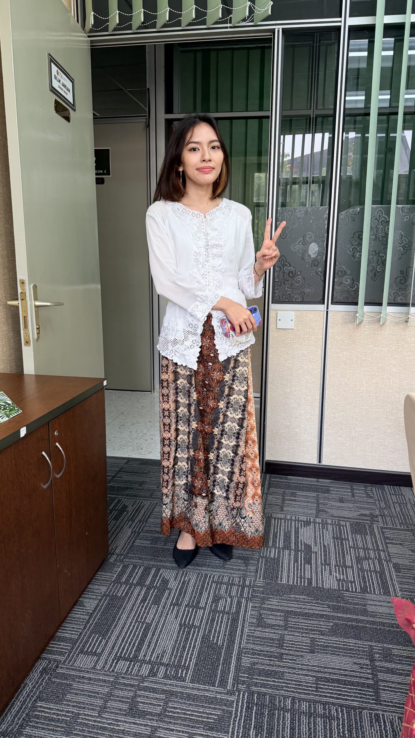
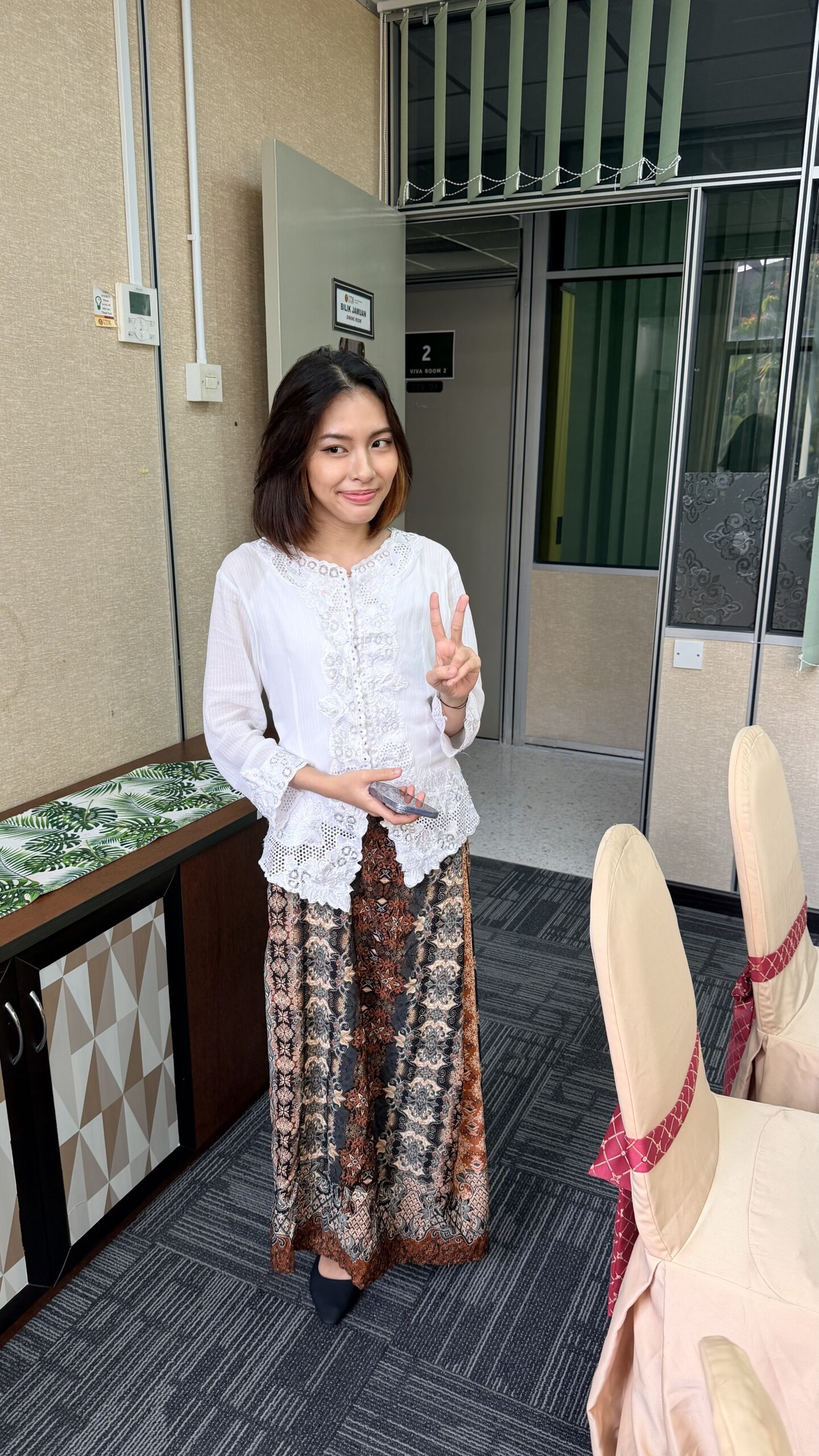
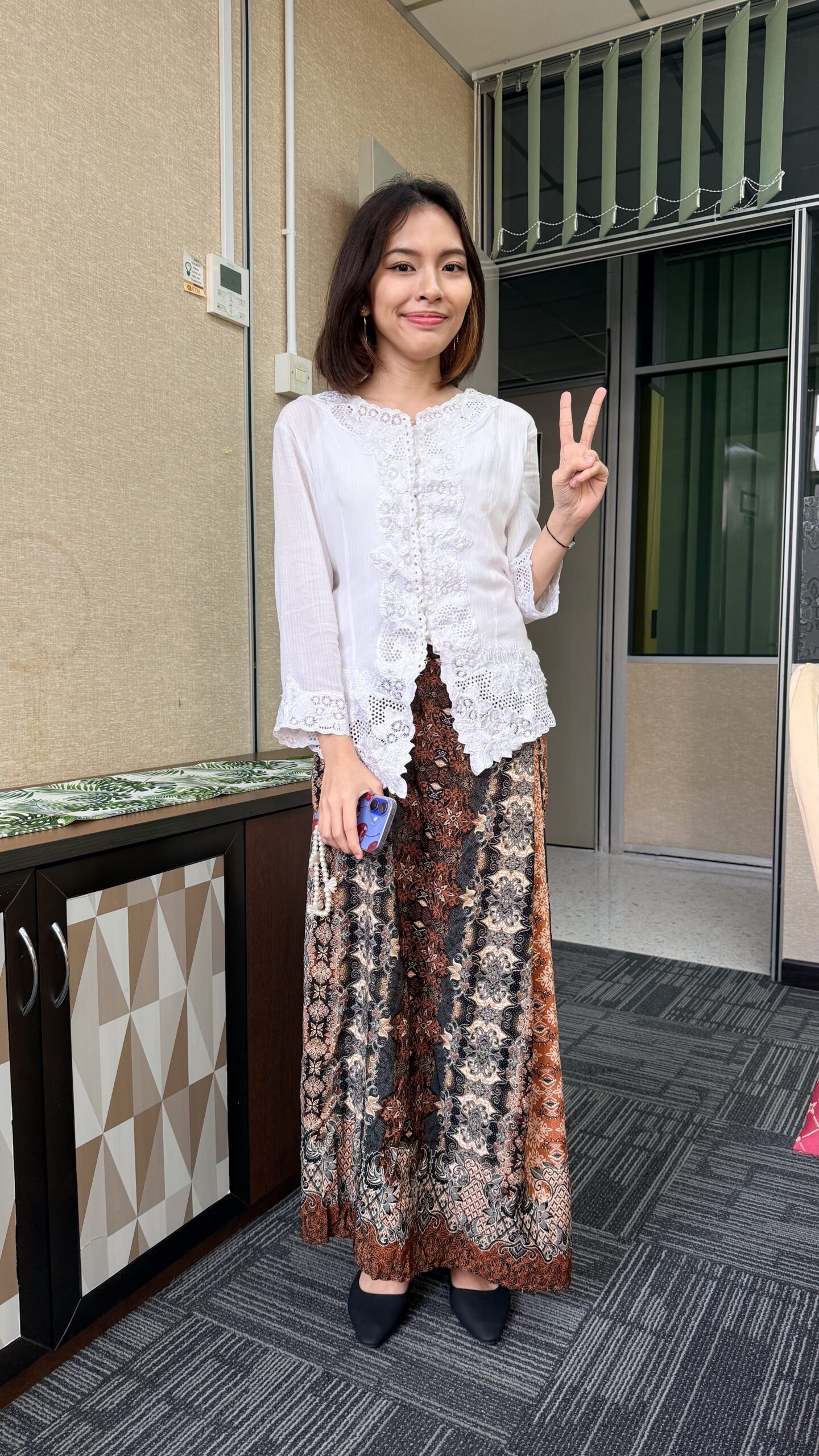
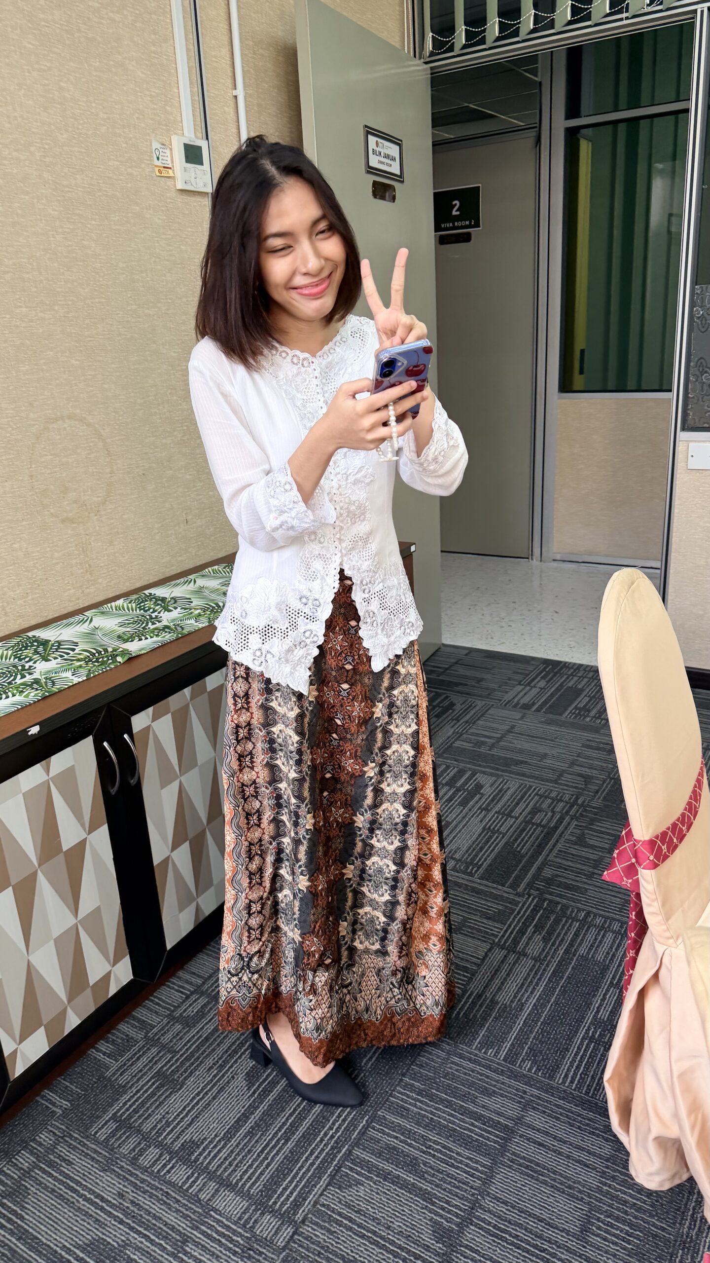
🎉 SO PROUD OF YOU DAMIA! 🎉


🎉 SO PROUD OF YOU DAMIA! 🎉

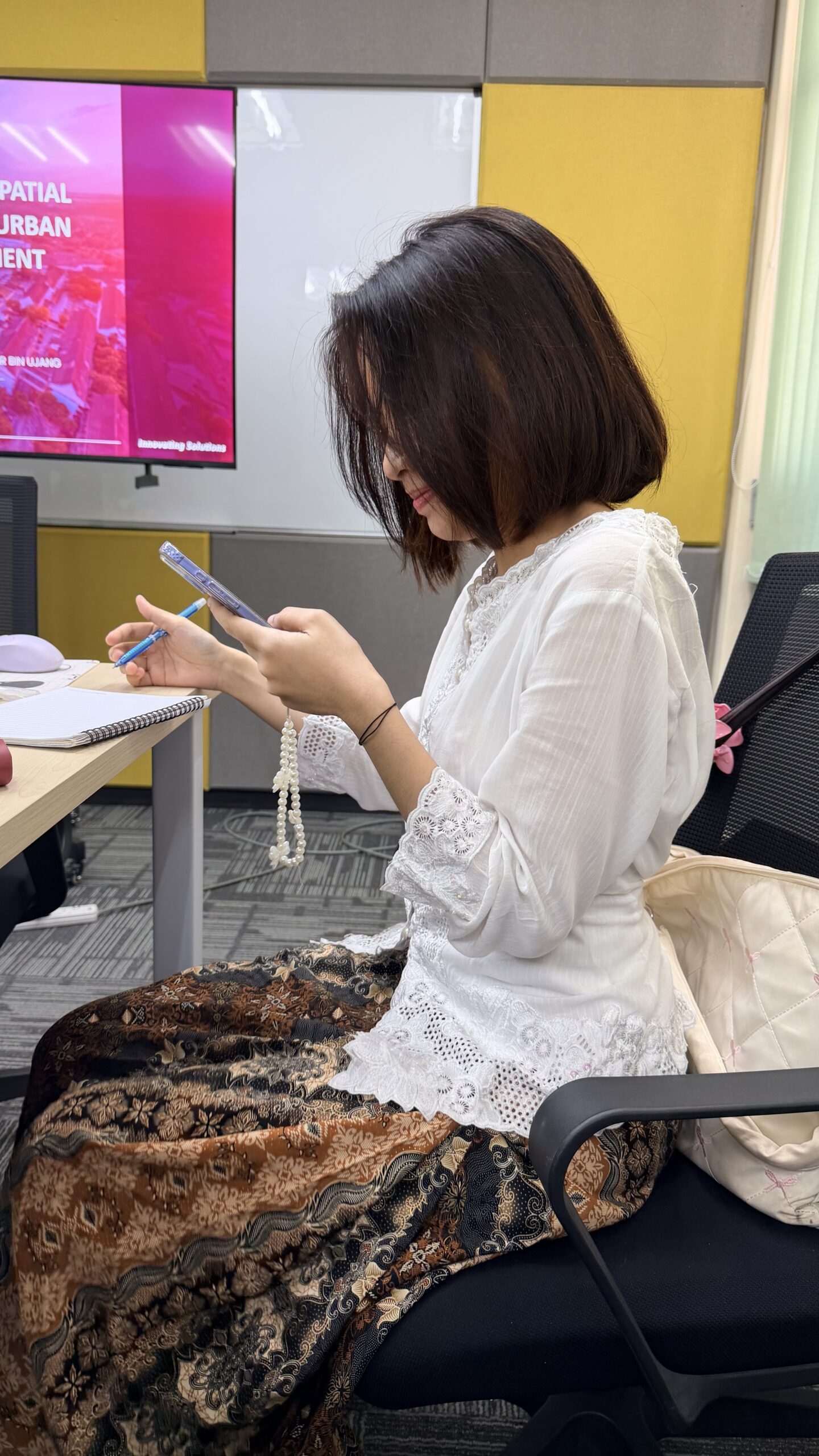
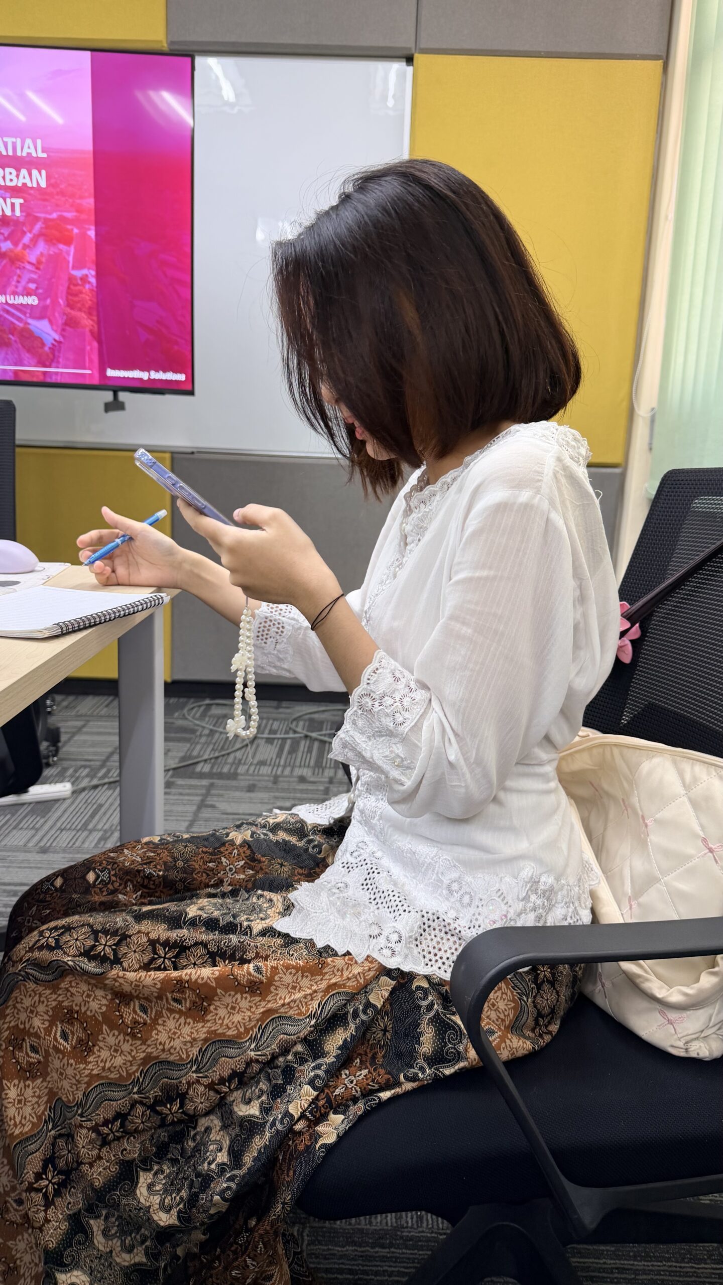
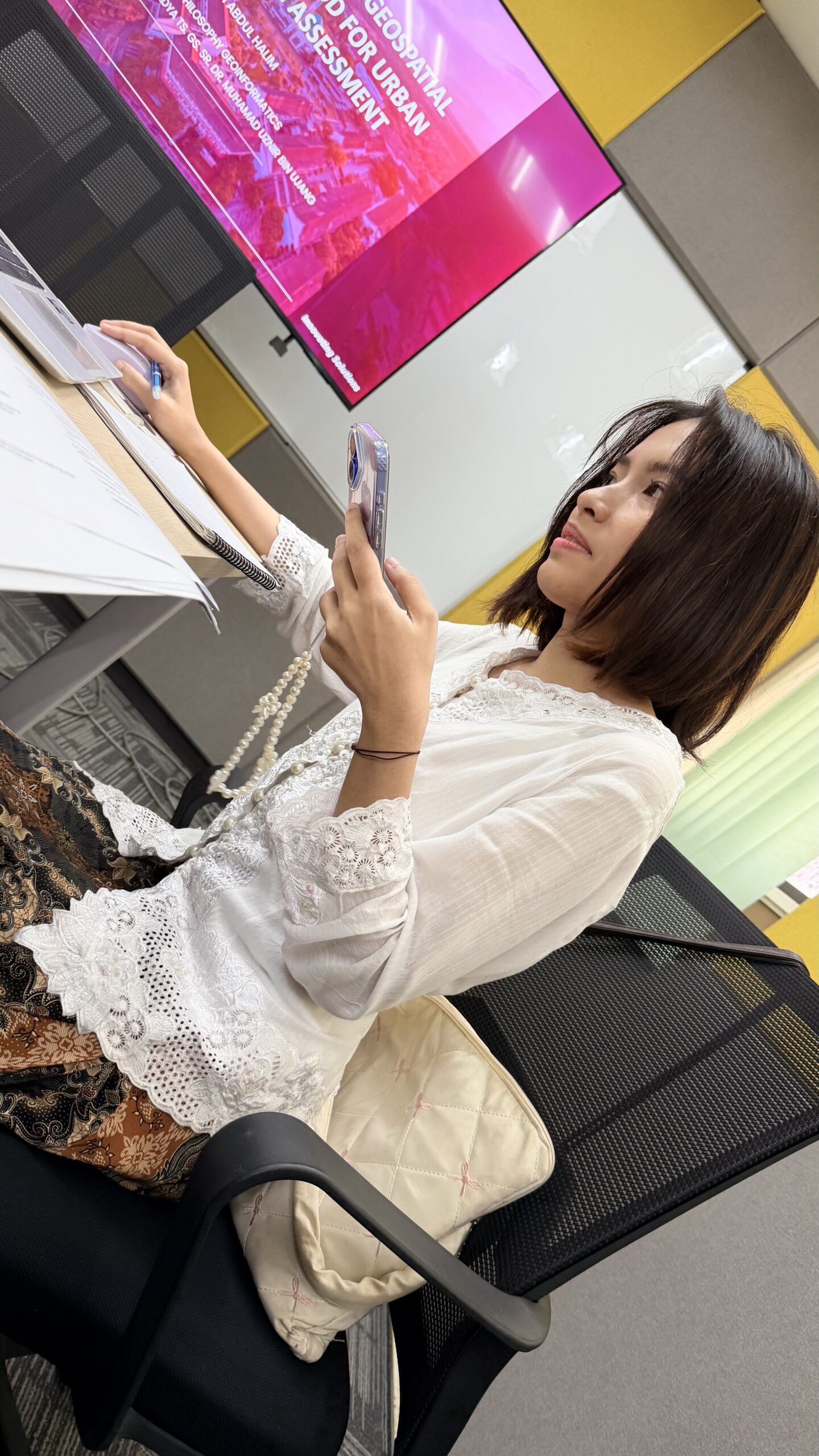
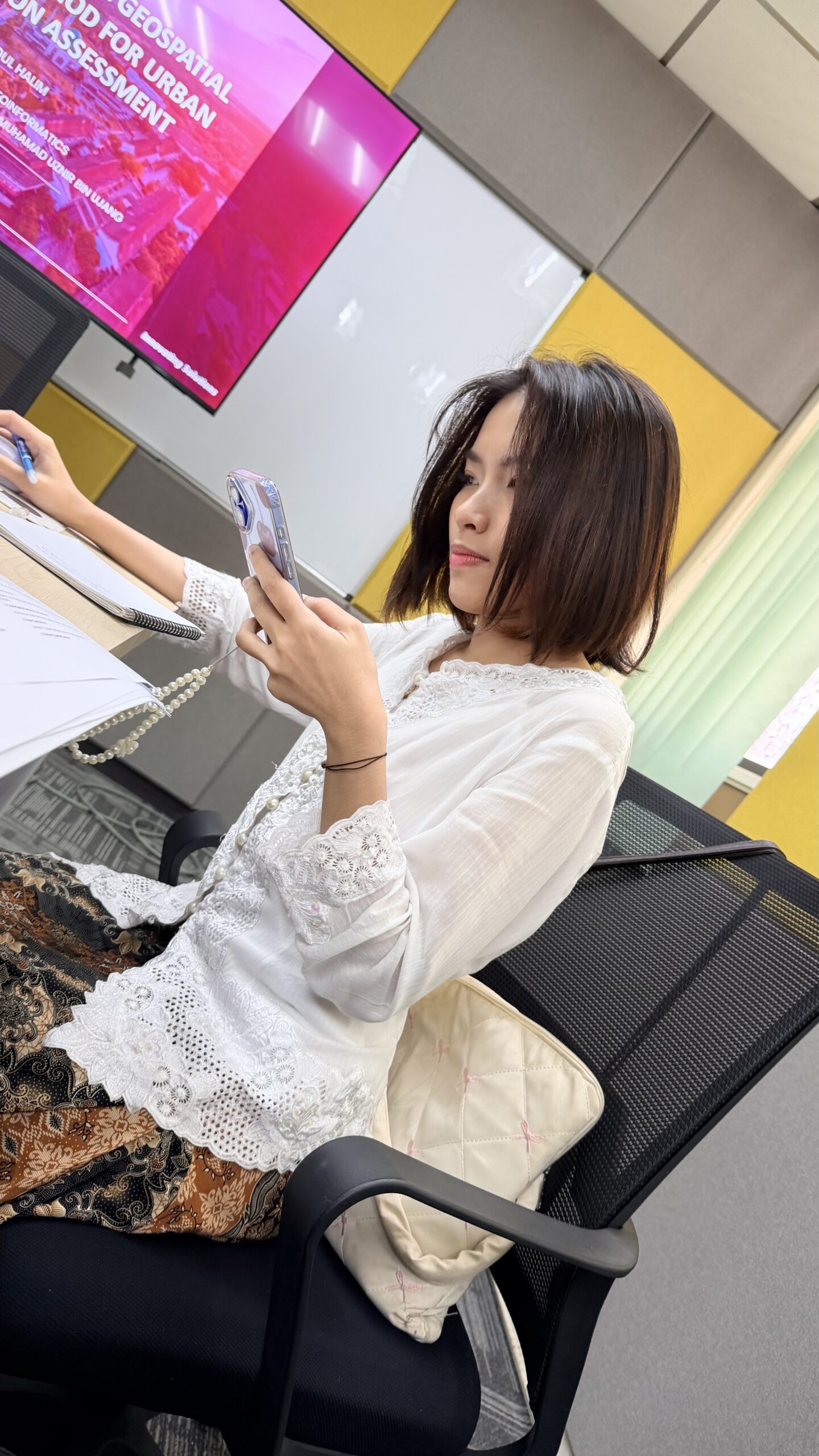
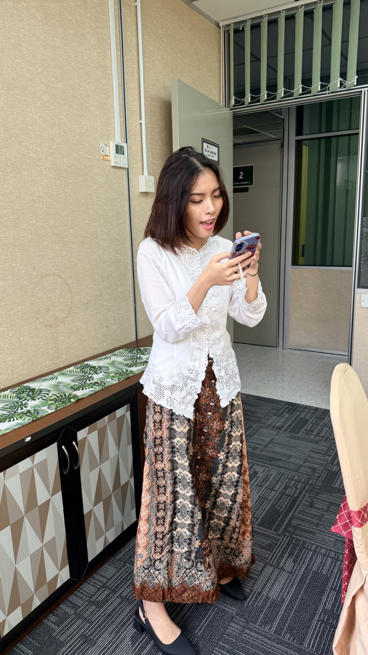
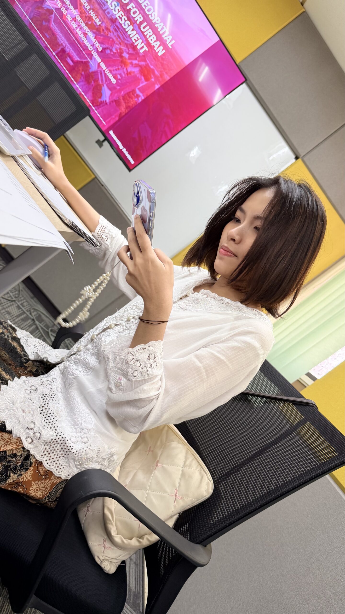
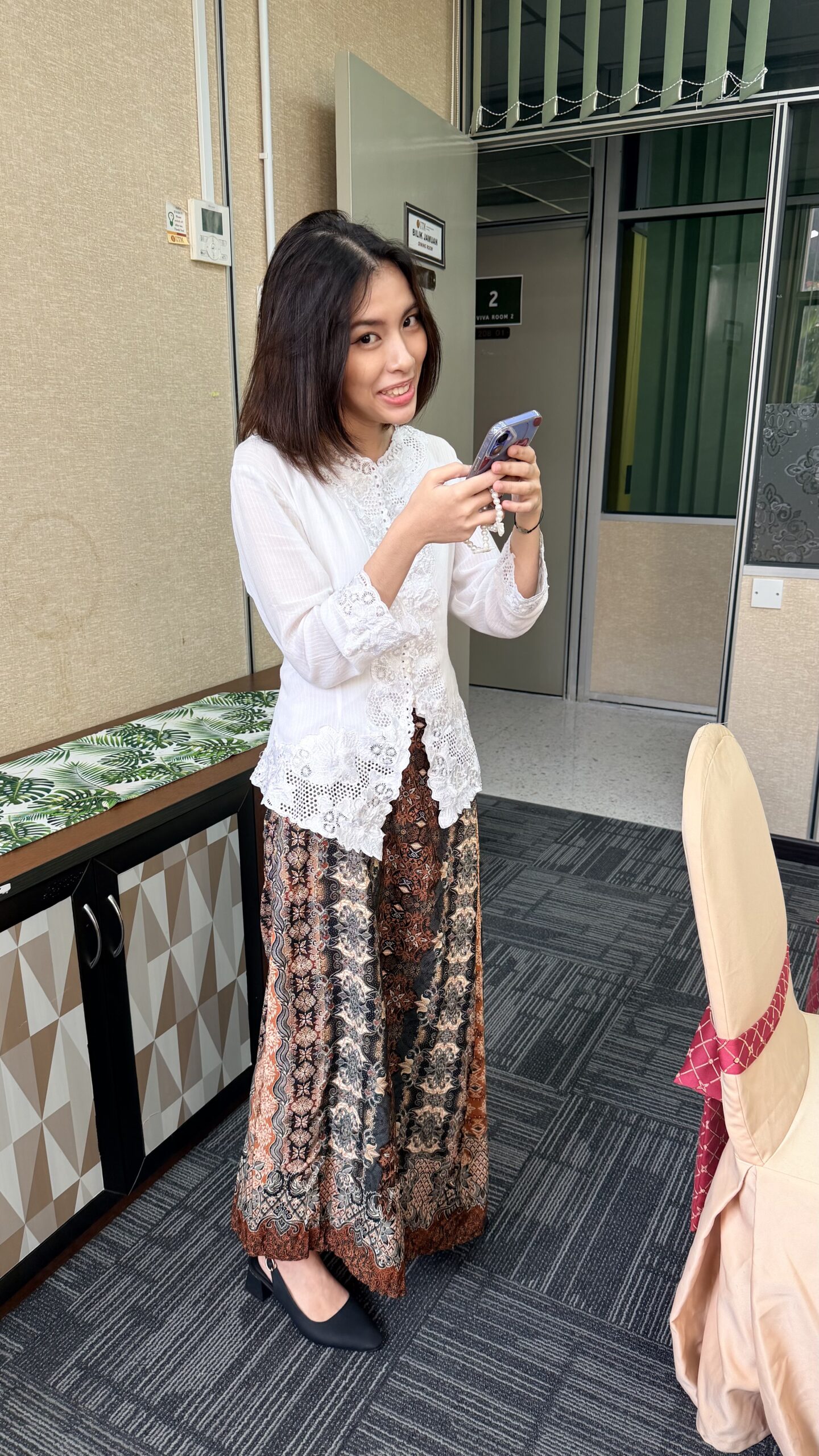
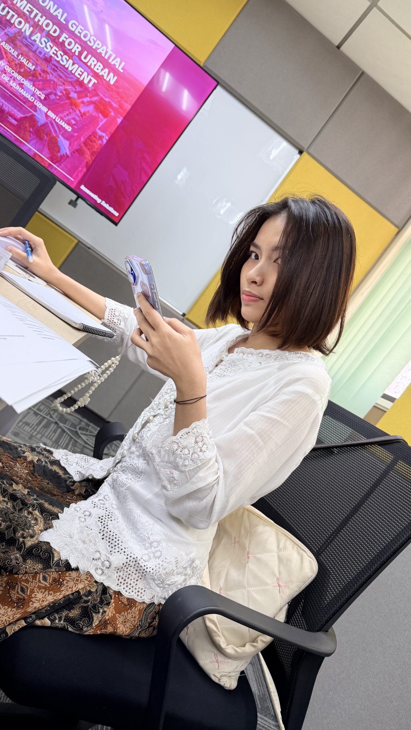
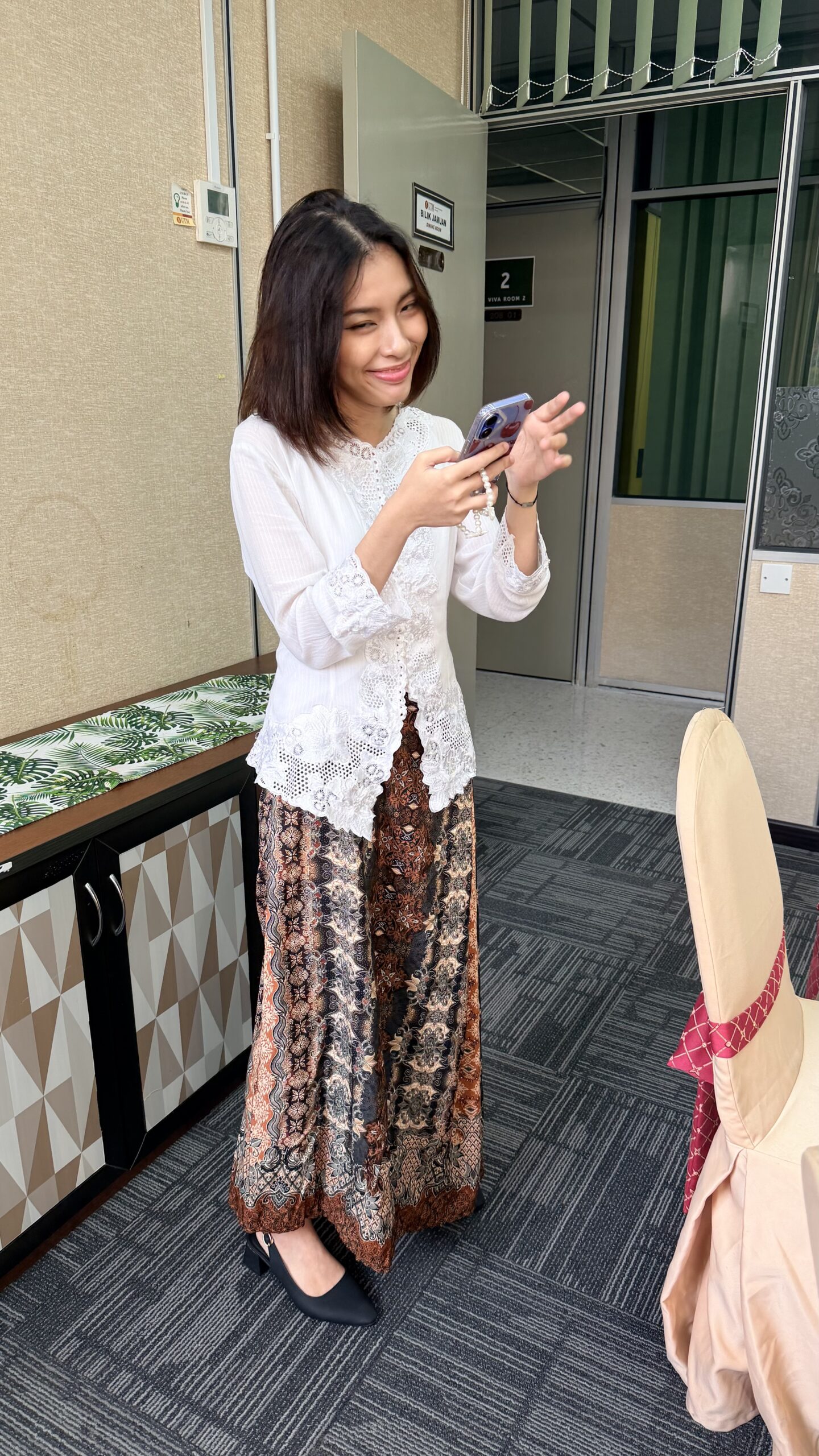
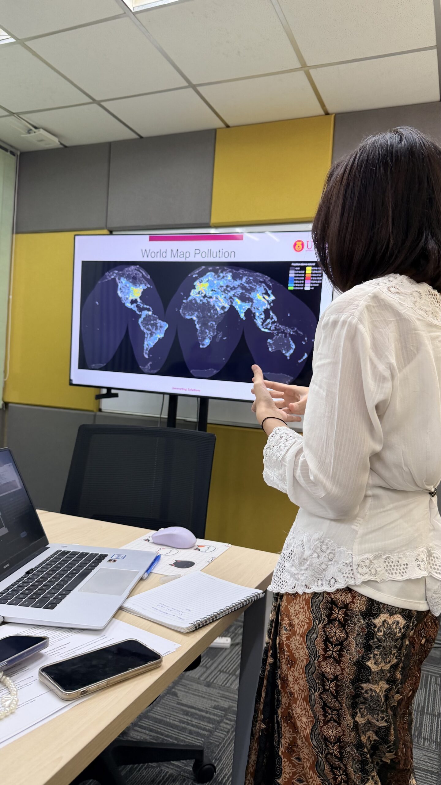
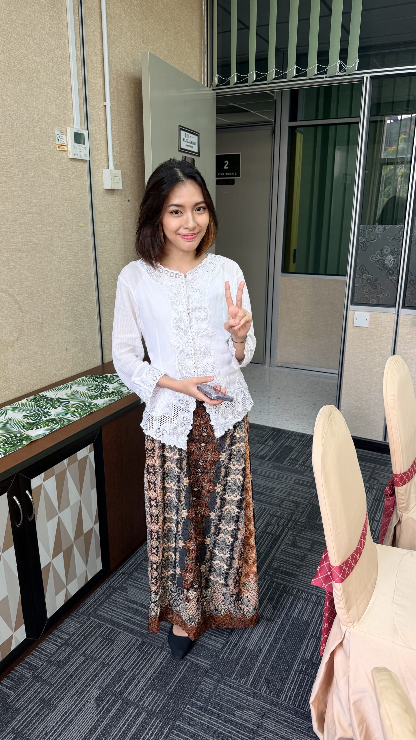
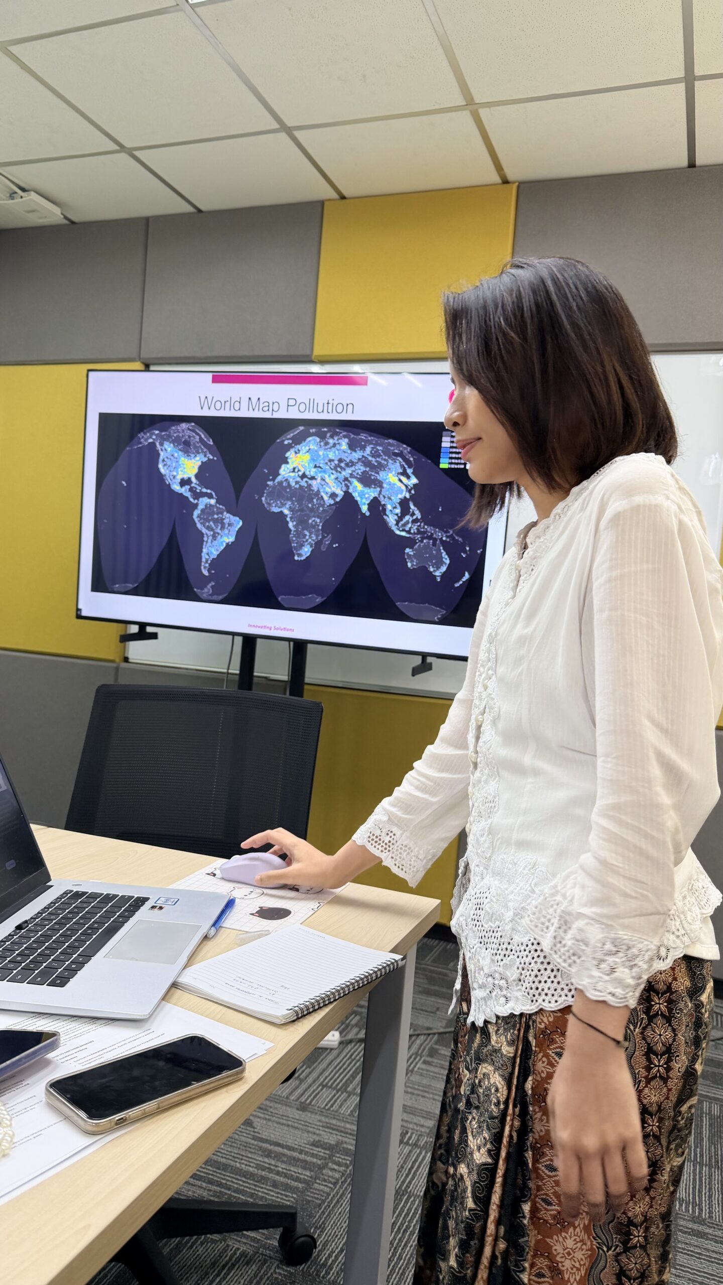
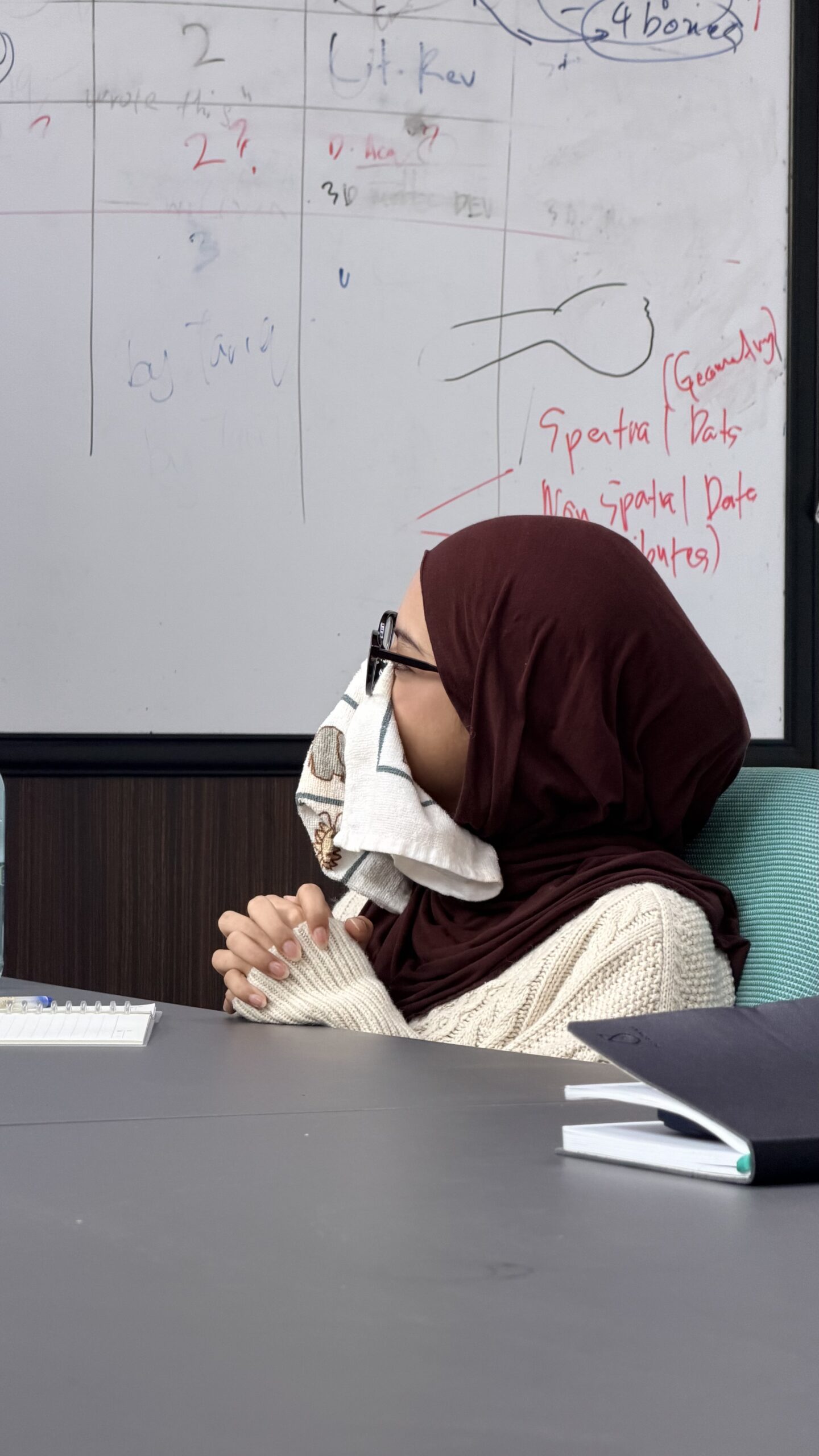
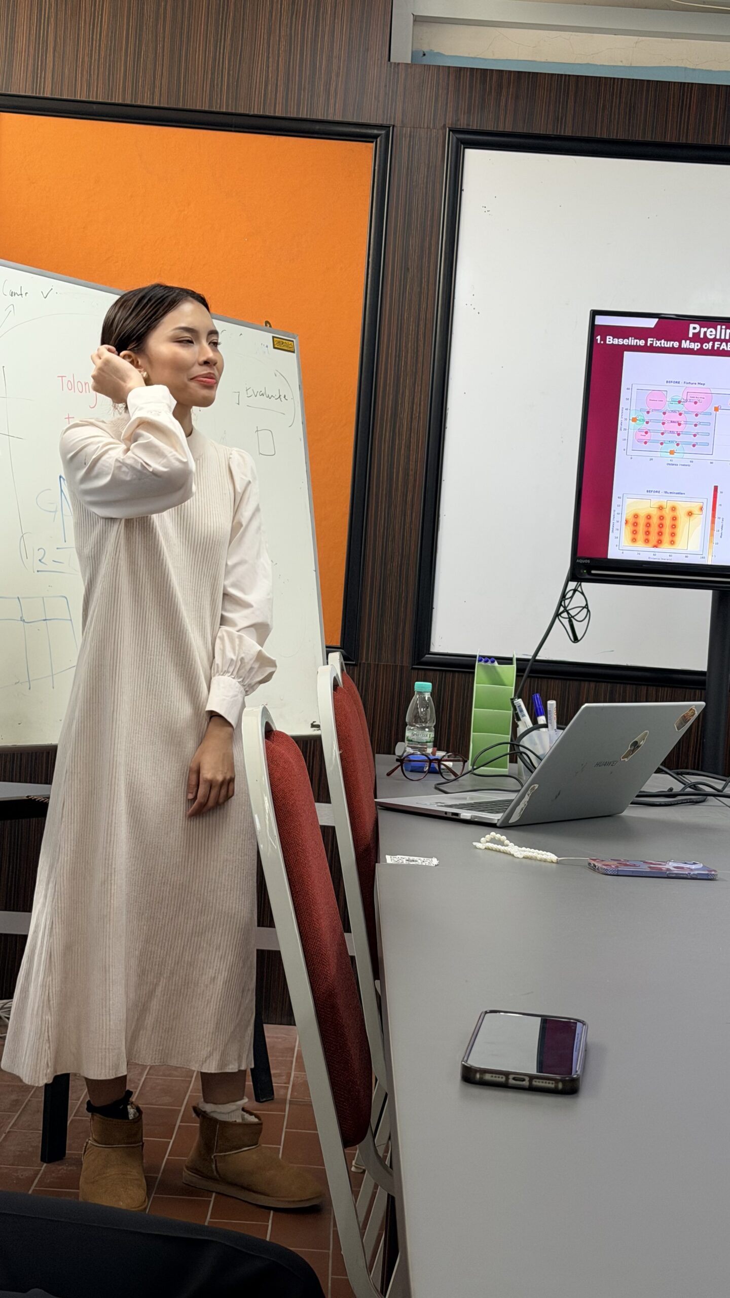
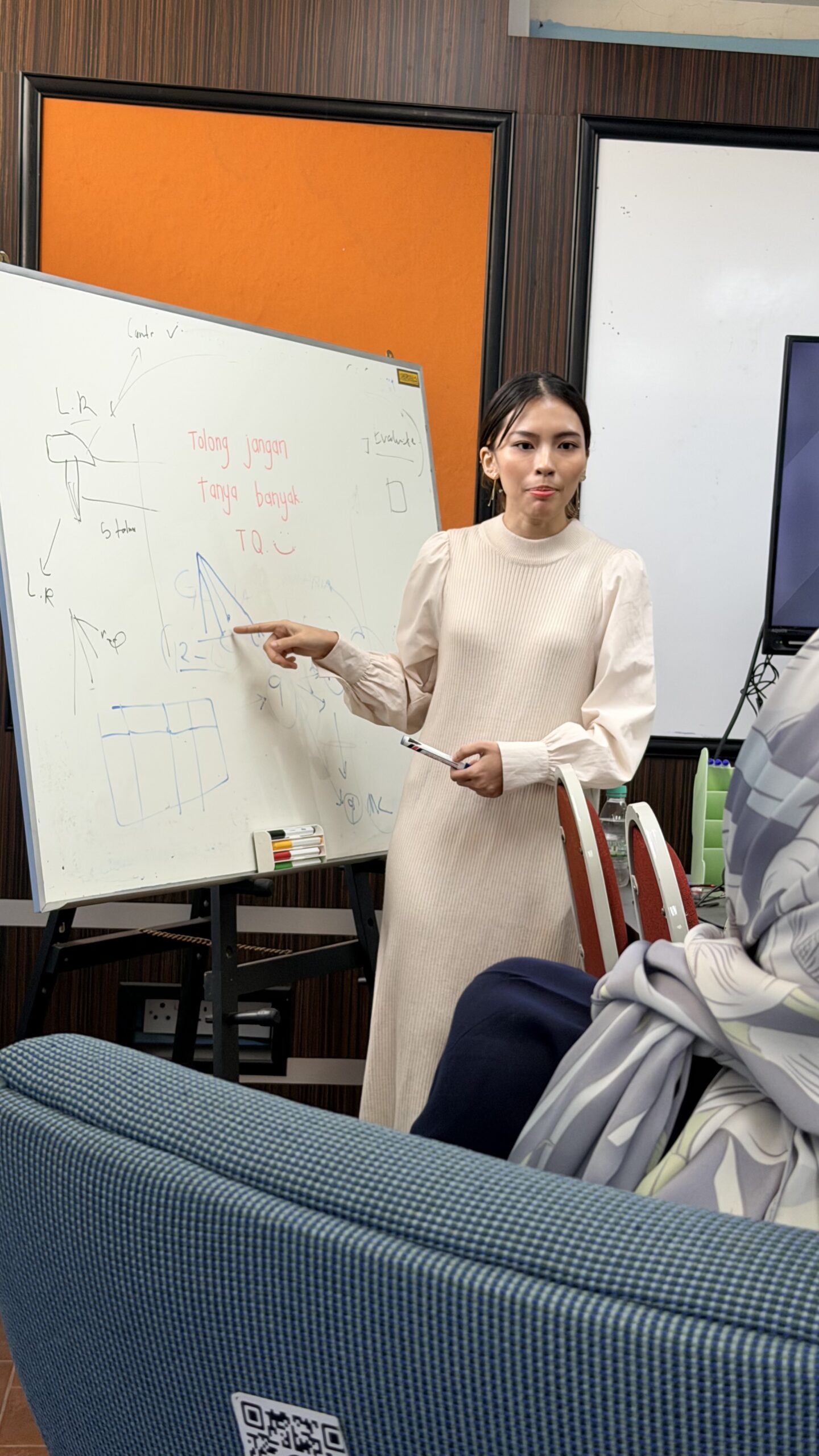
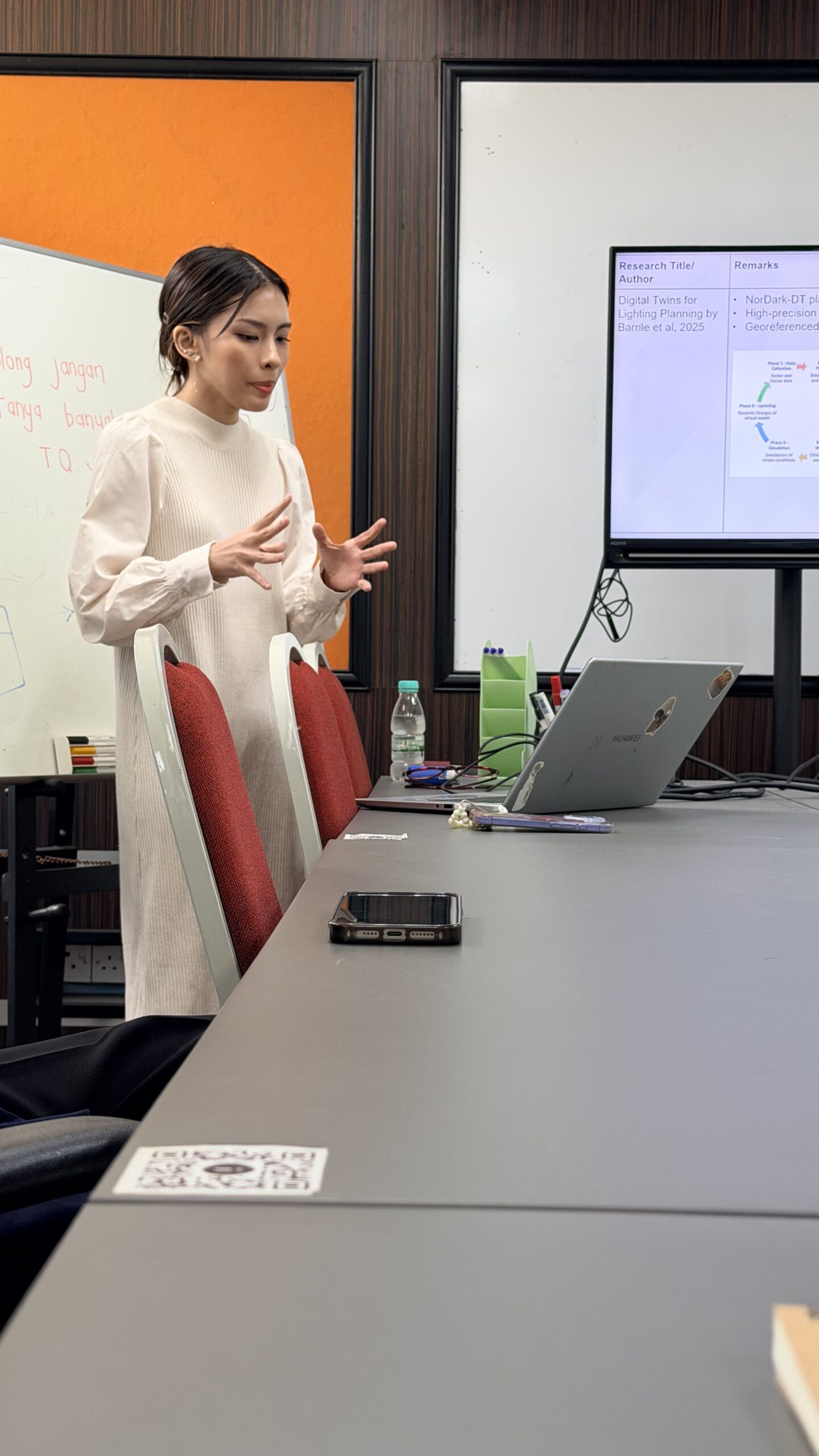
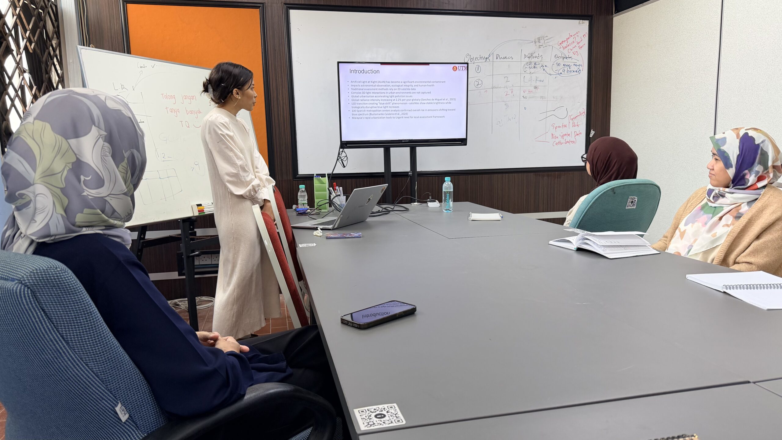
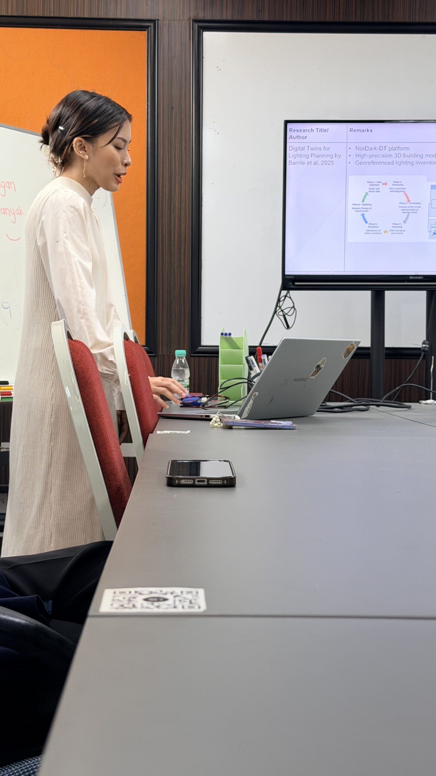
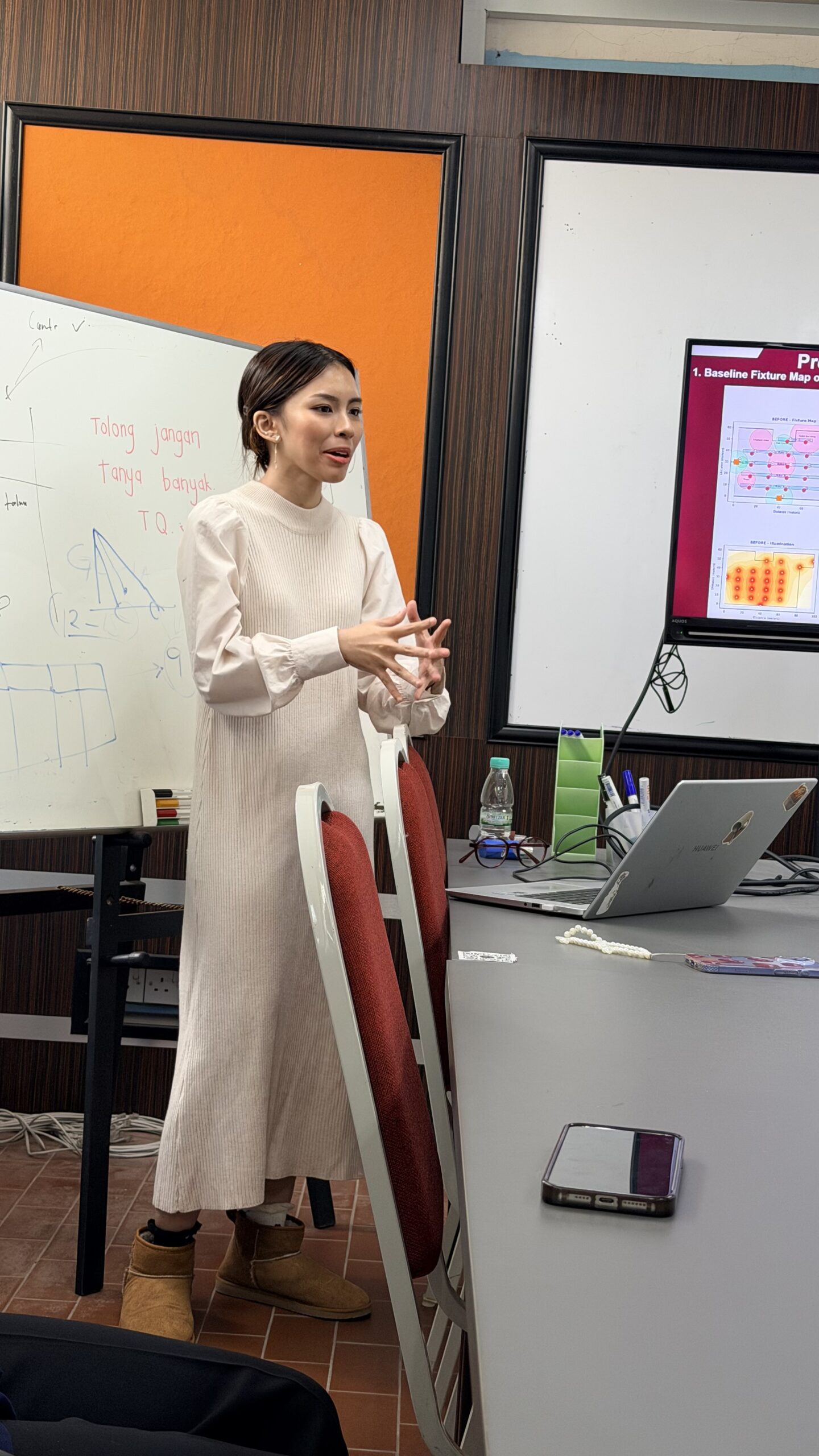
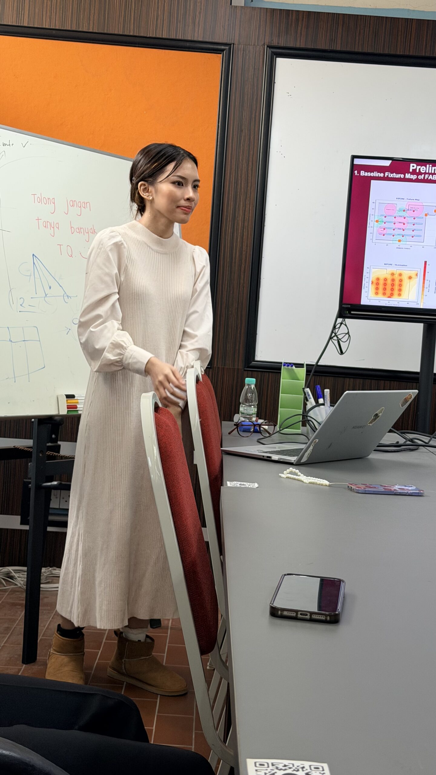
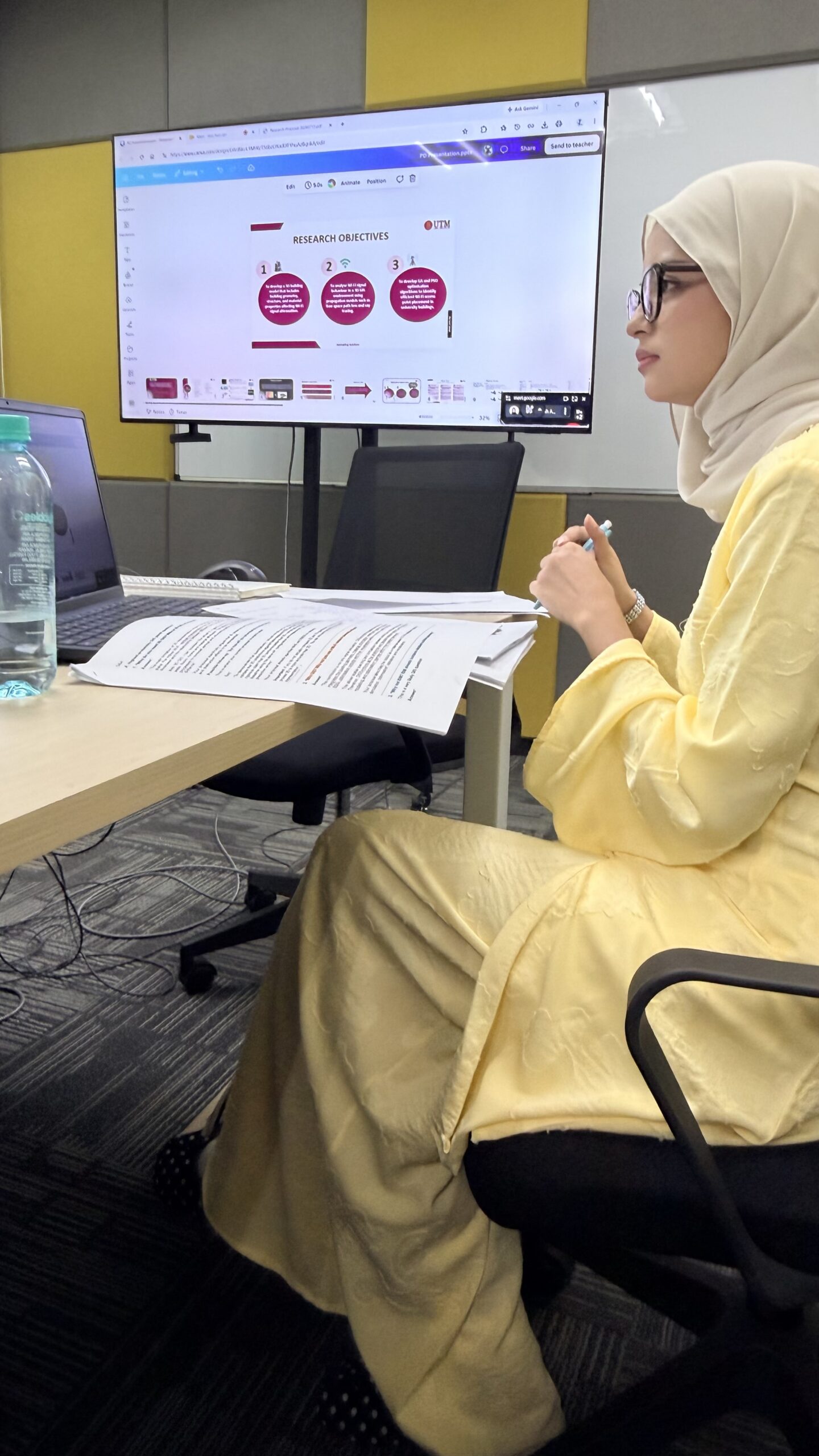
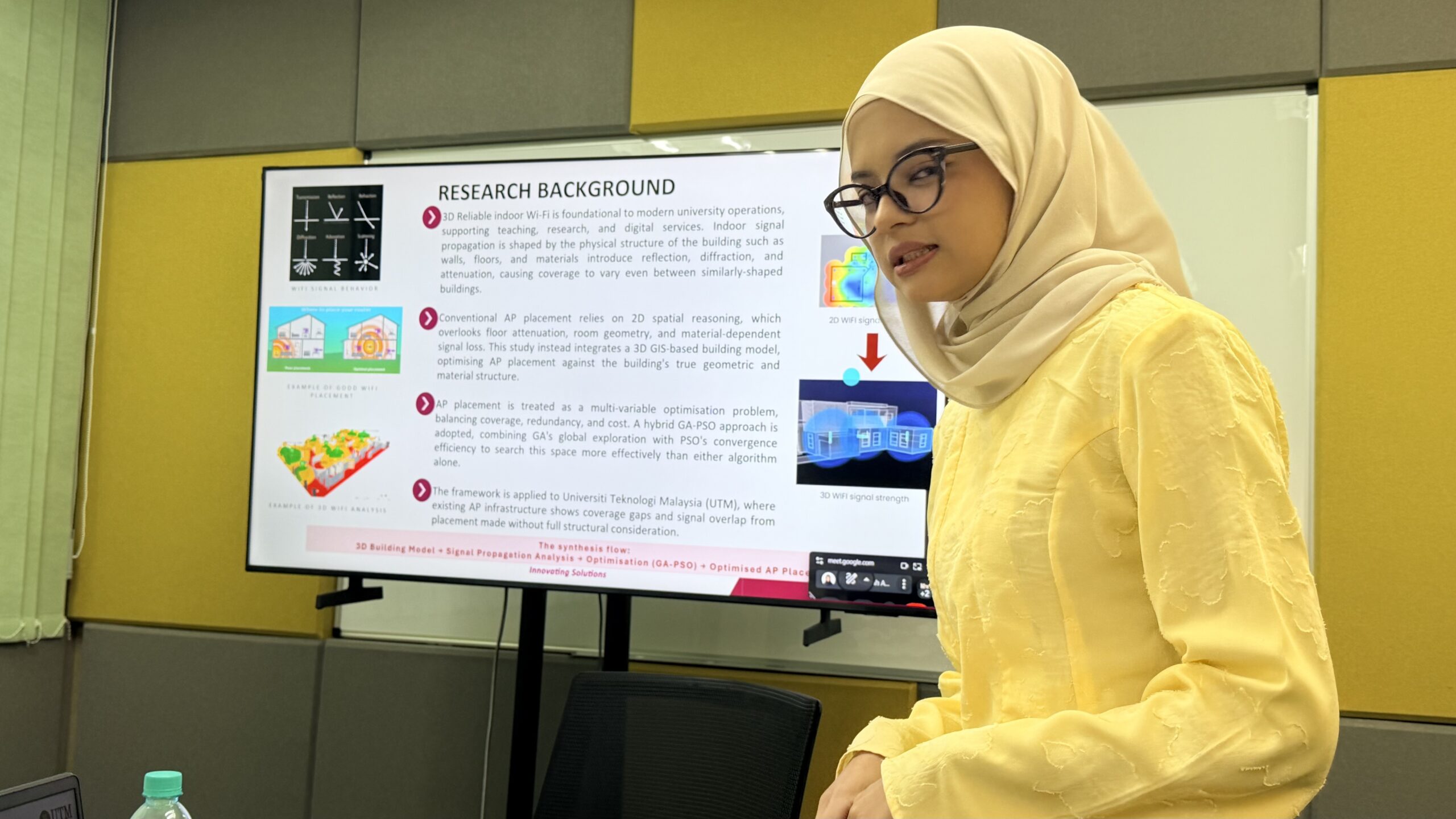
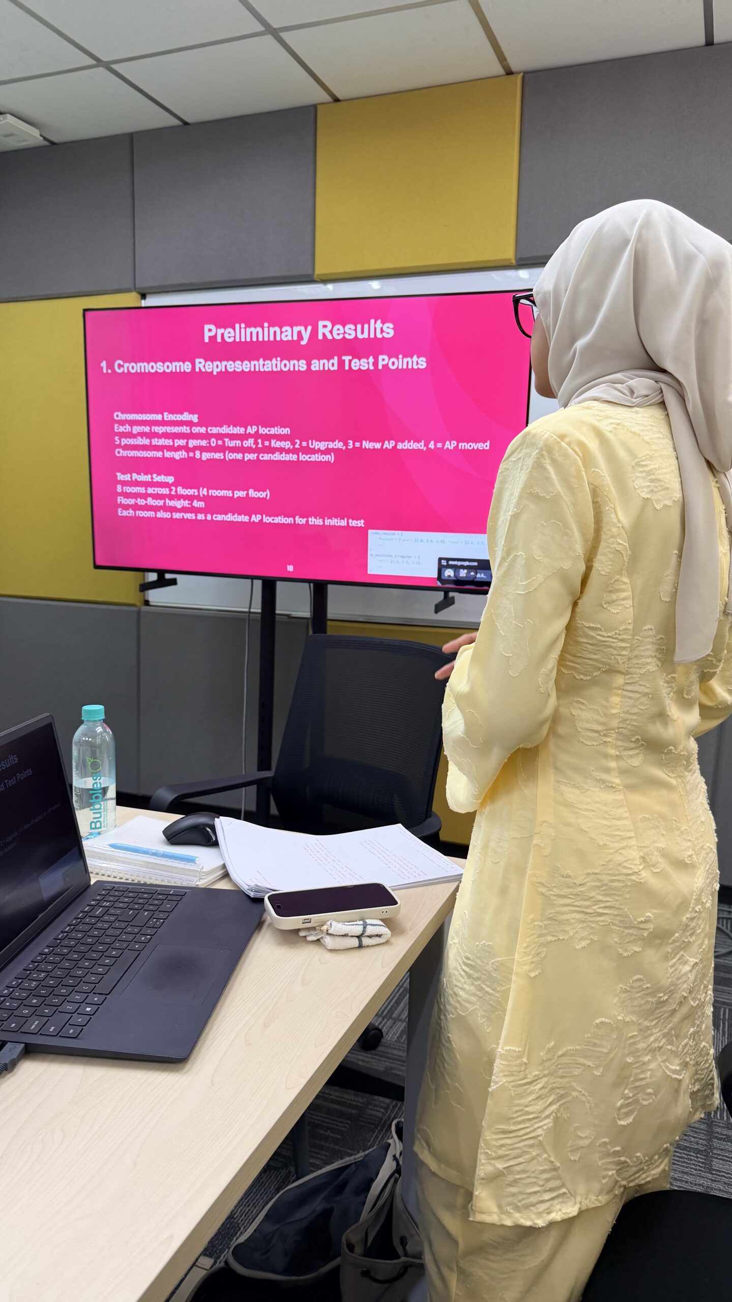
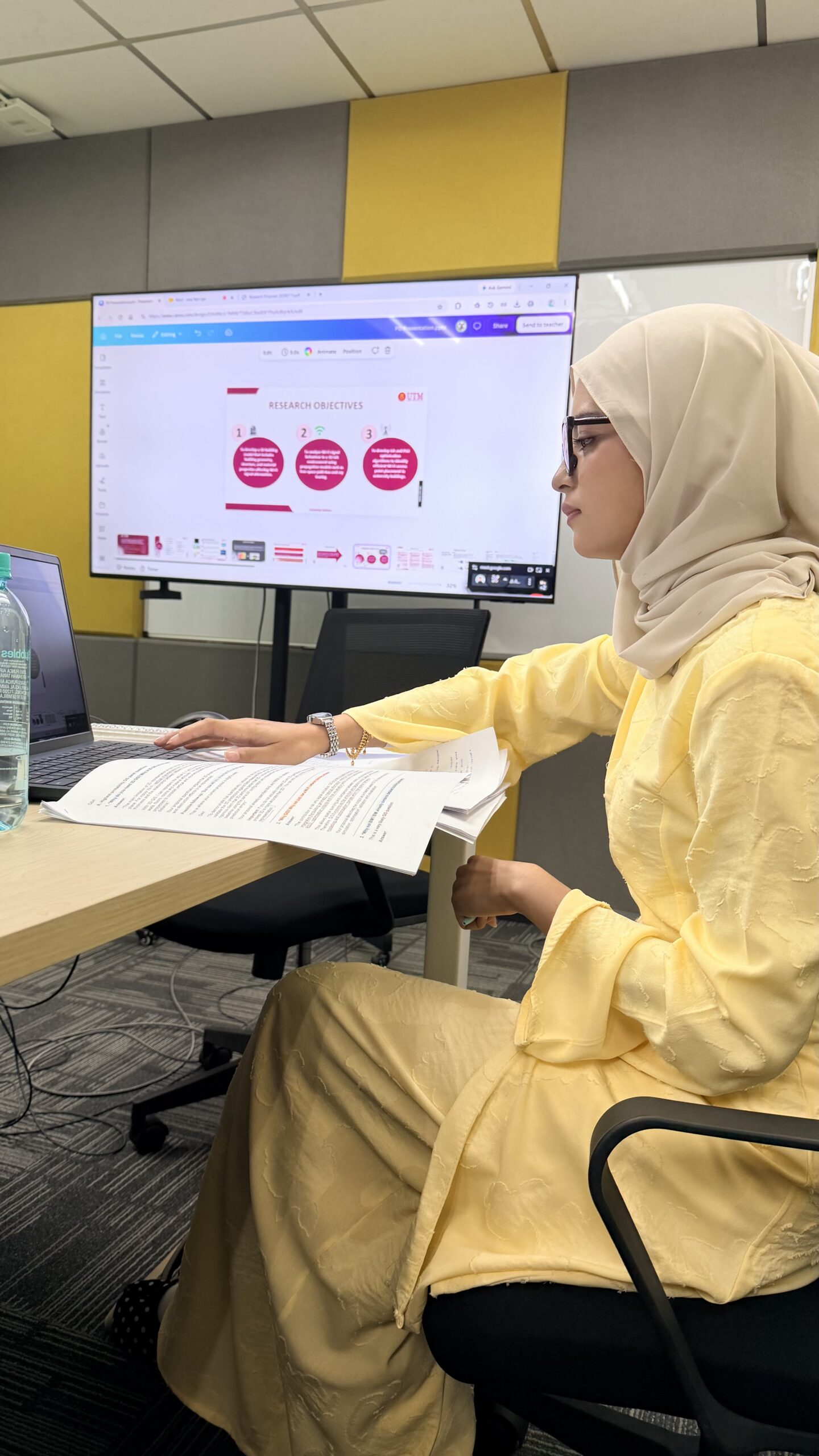
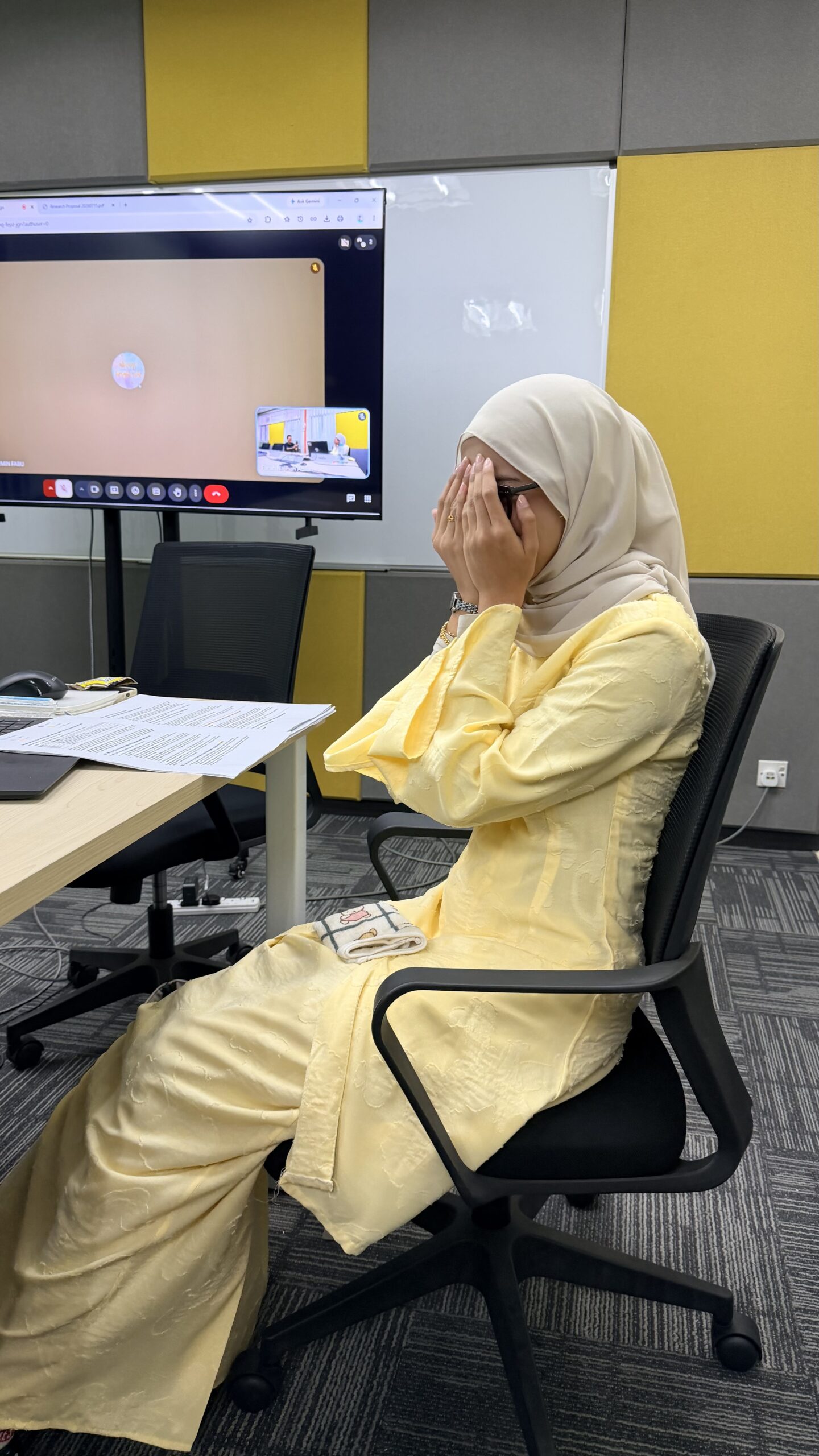
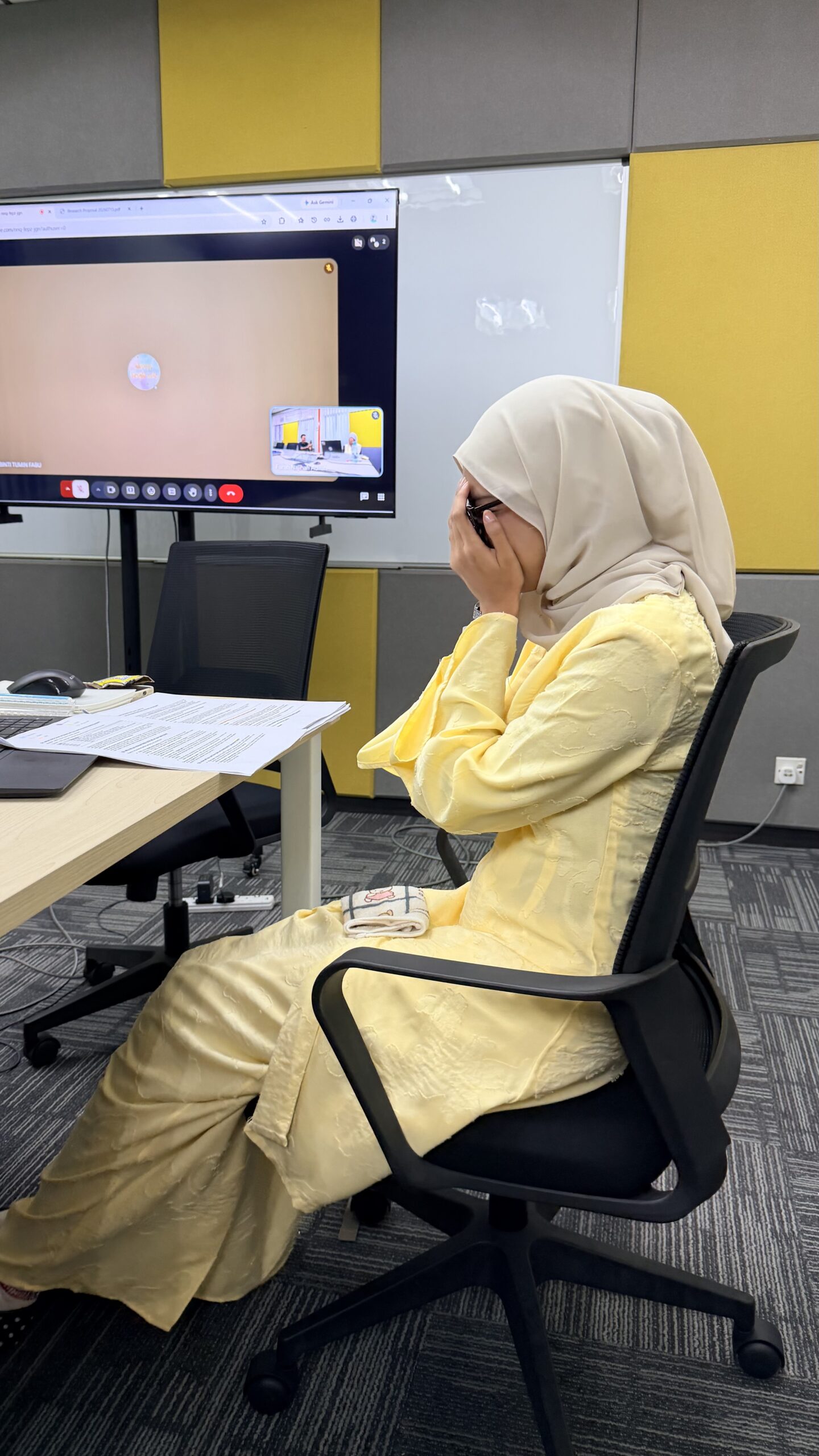
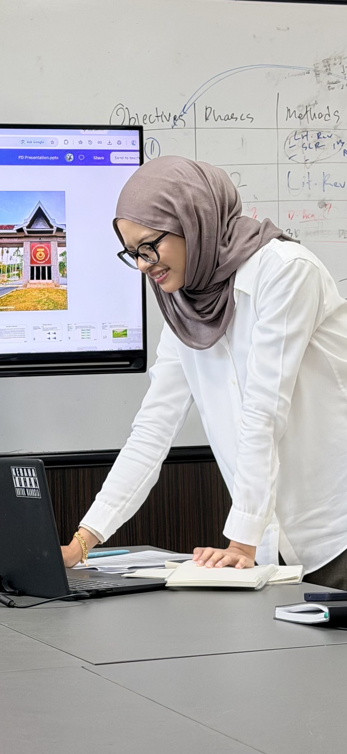
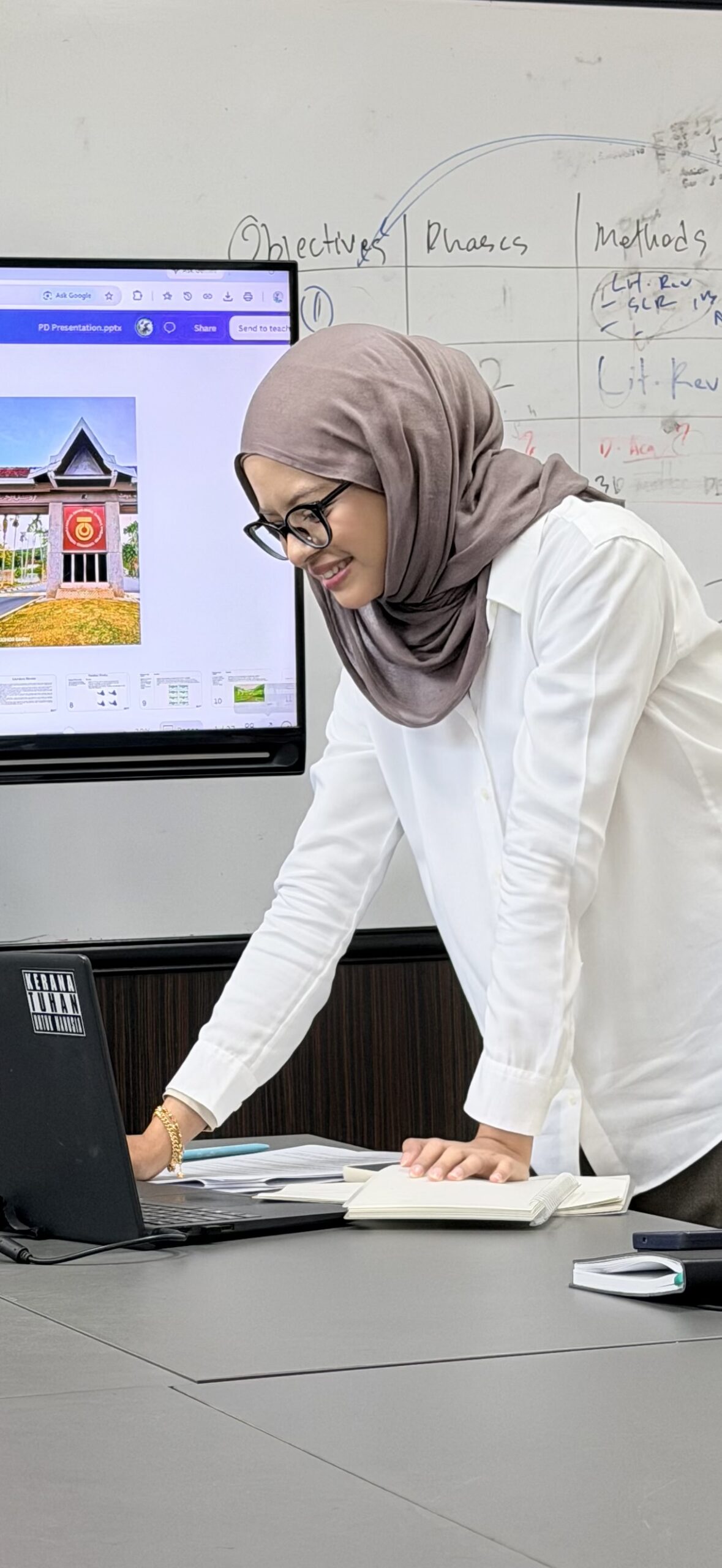
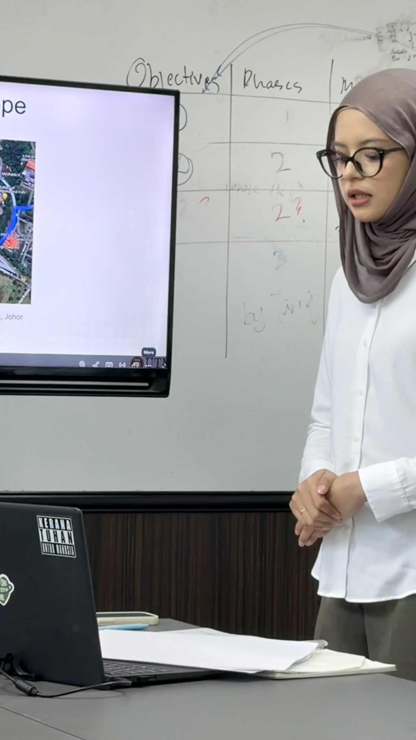
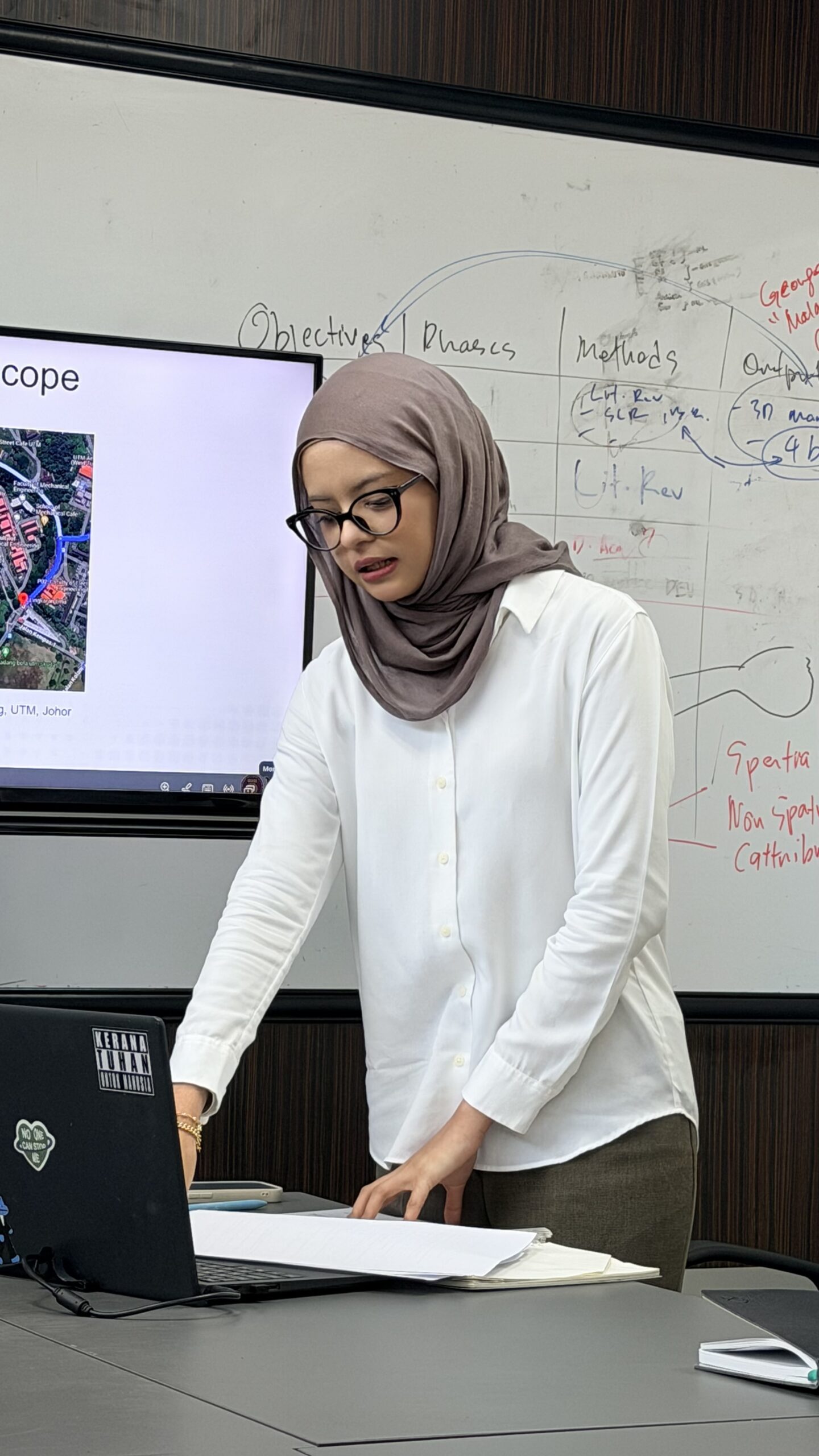
This week has been quite a journey for Damia. She went through so many things, faced different challenges, and had moments that were certainly not easy. But despite everything, she managed to stay strong, keep going, and successfully present her MPhil proposal. 🌷✨

Sometimes, a milestone is not just about the presentation itself, but about everything you had to overcome just to get there. And Damia did it. 💪🏻❤️

I’m also very grateful that throughout this journey, Damia has been surrounded by so many supportive friends who have encouraged her, stayed by her side, and lifted her spirits when she needed it most. Having a strong support system truly makes a difference. 🫶🏻

Damia, you should be proud of yourself. You went through a lot this week, but you still showed up and made it through. 🌟

Now, take the feedback, keep moving forward, and trust the journey.

Well done Damia! One important milestone completed. 🌸📚✨

#ProudSupervisor #MPhilJourney #ResearchMilestone #KeepGoing #ProudMoment #YTJT

ROUND TWO: DAMIA IN THE HOT SEAT

ROUND TWO: DAMIA IN THE HOT SEAT 🔥 

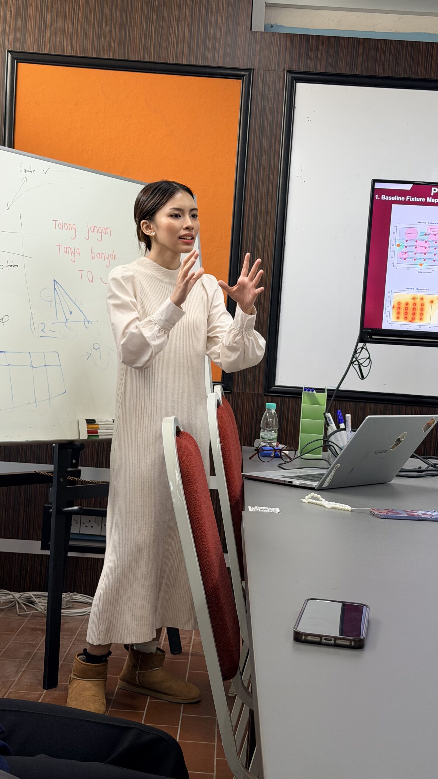
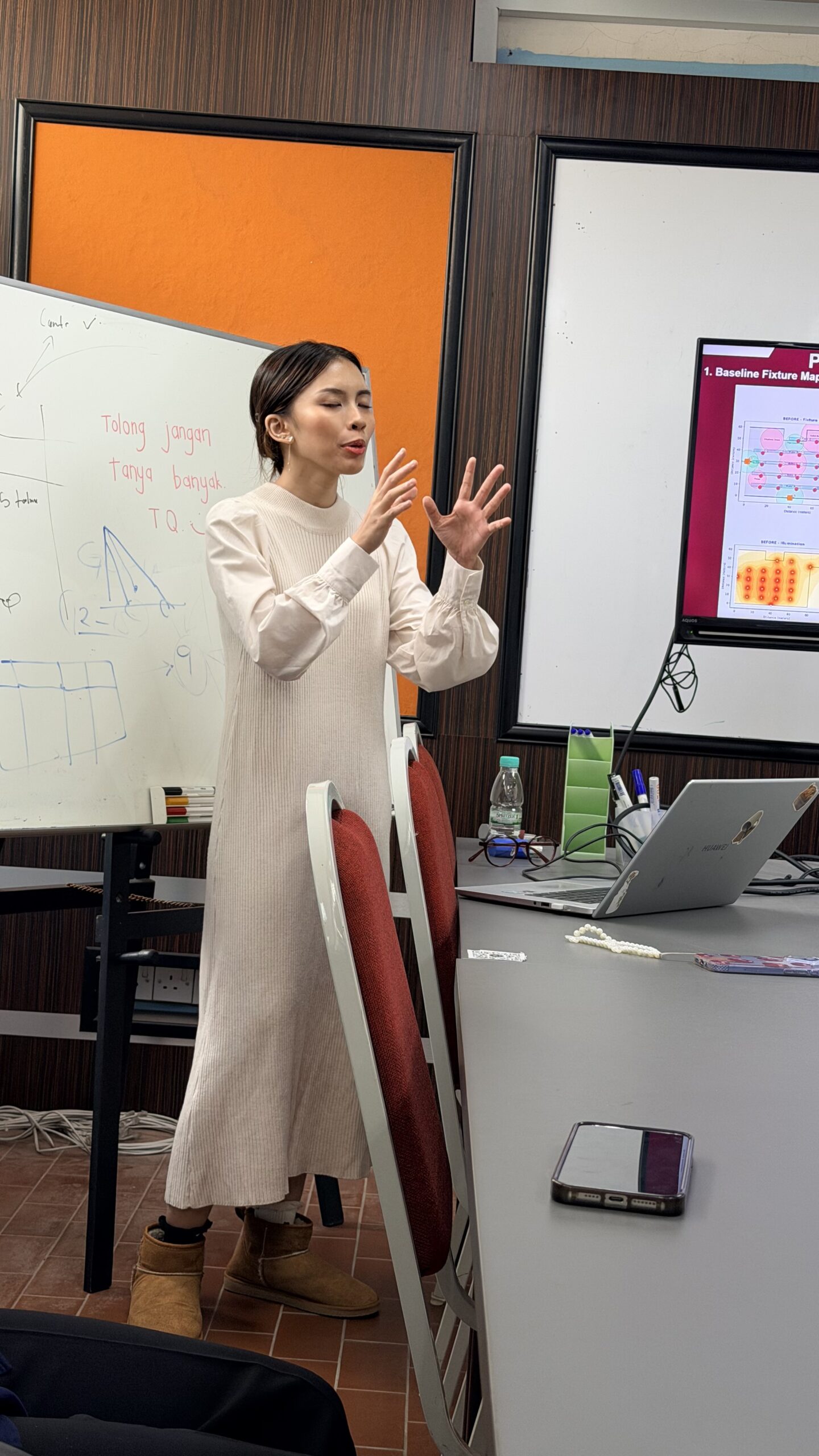
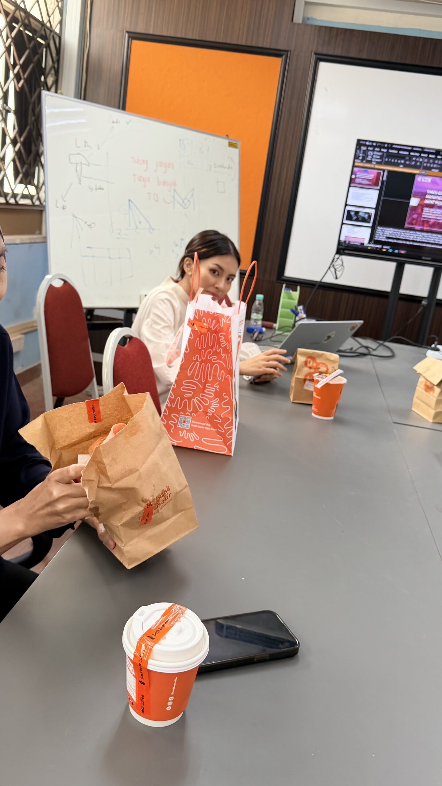
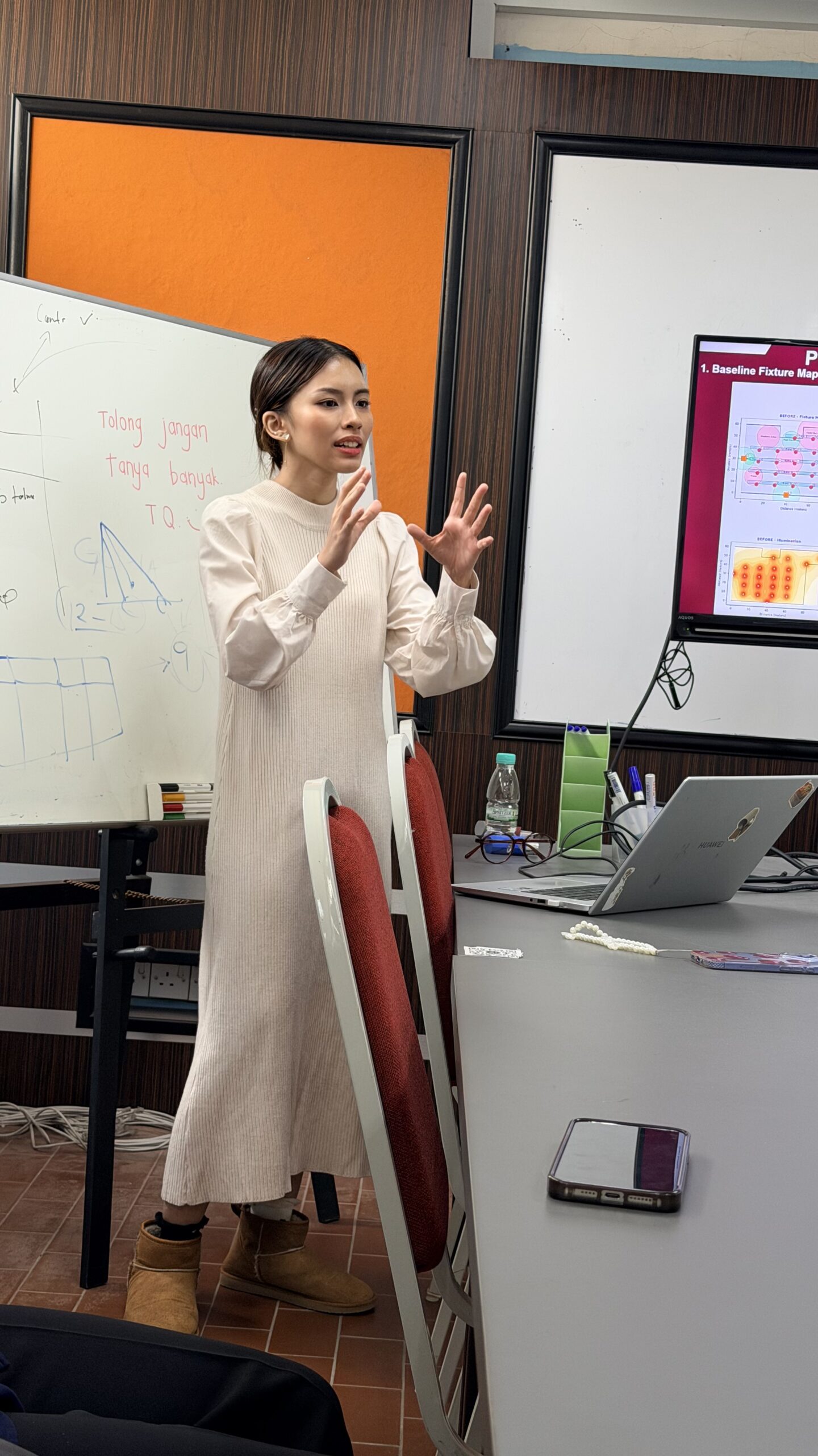
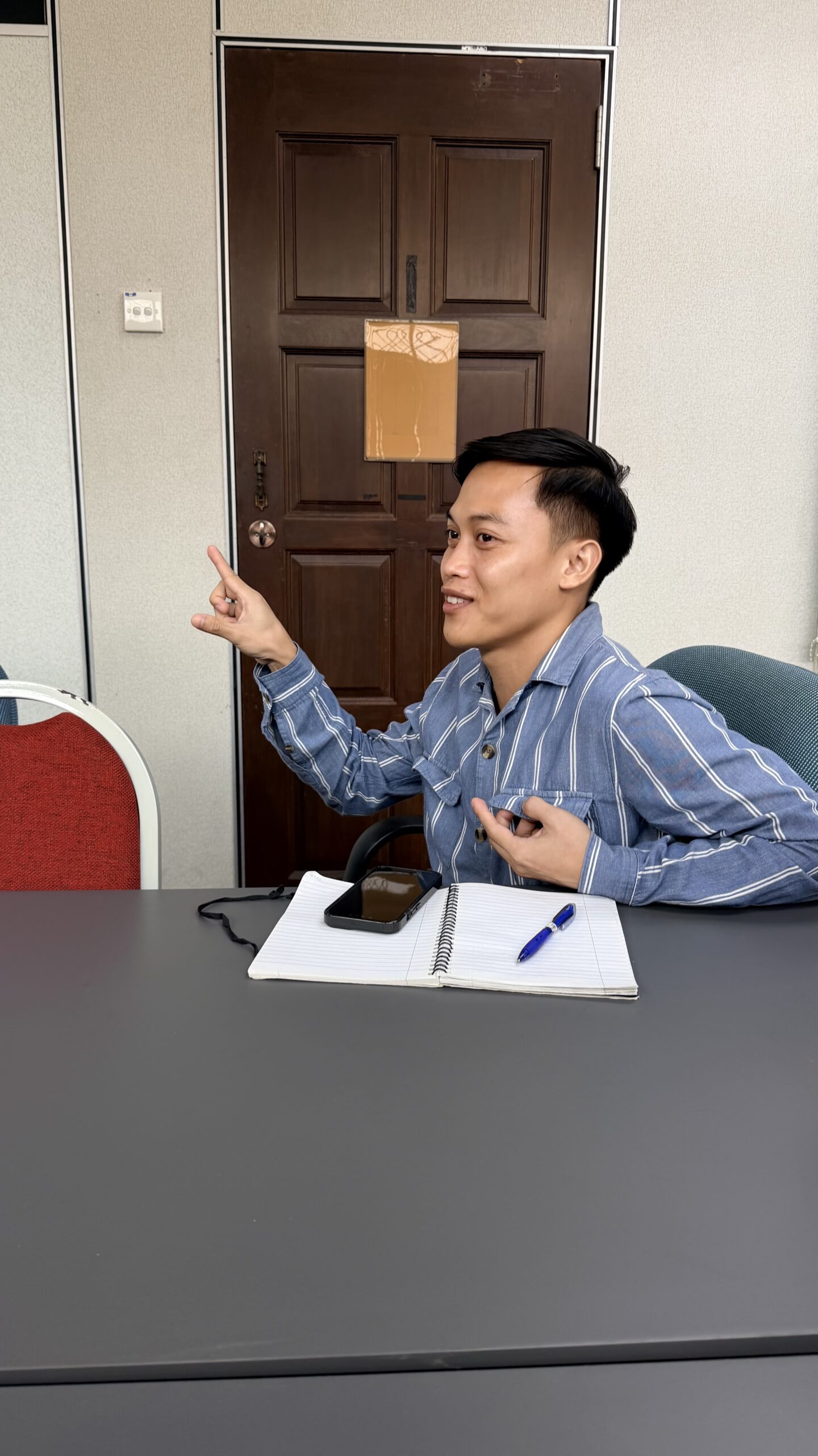
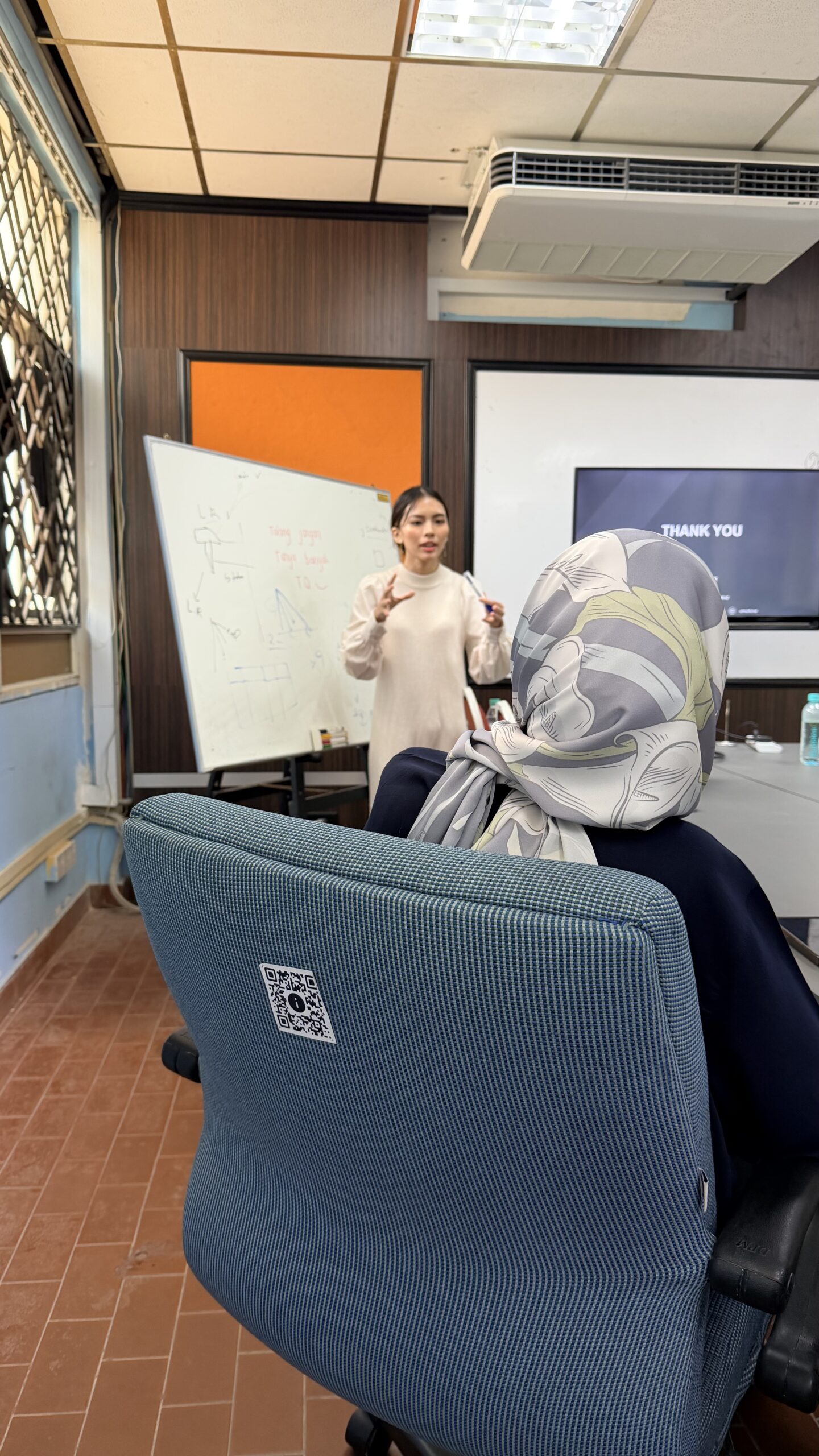
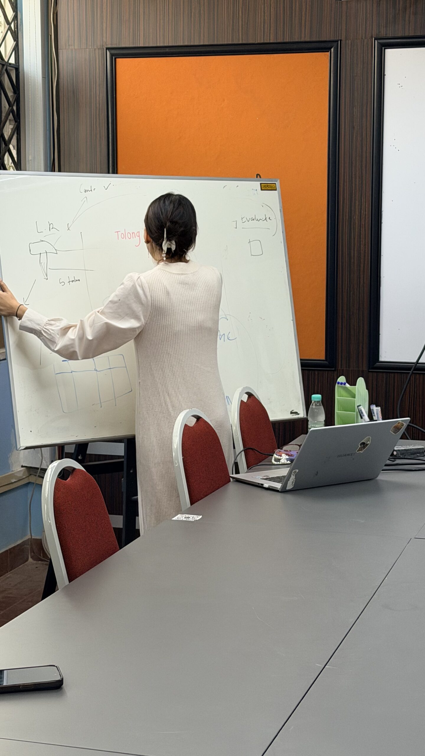
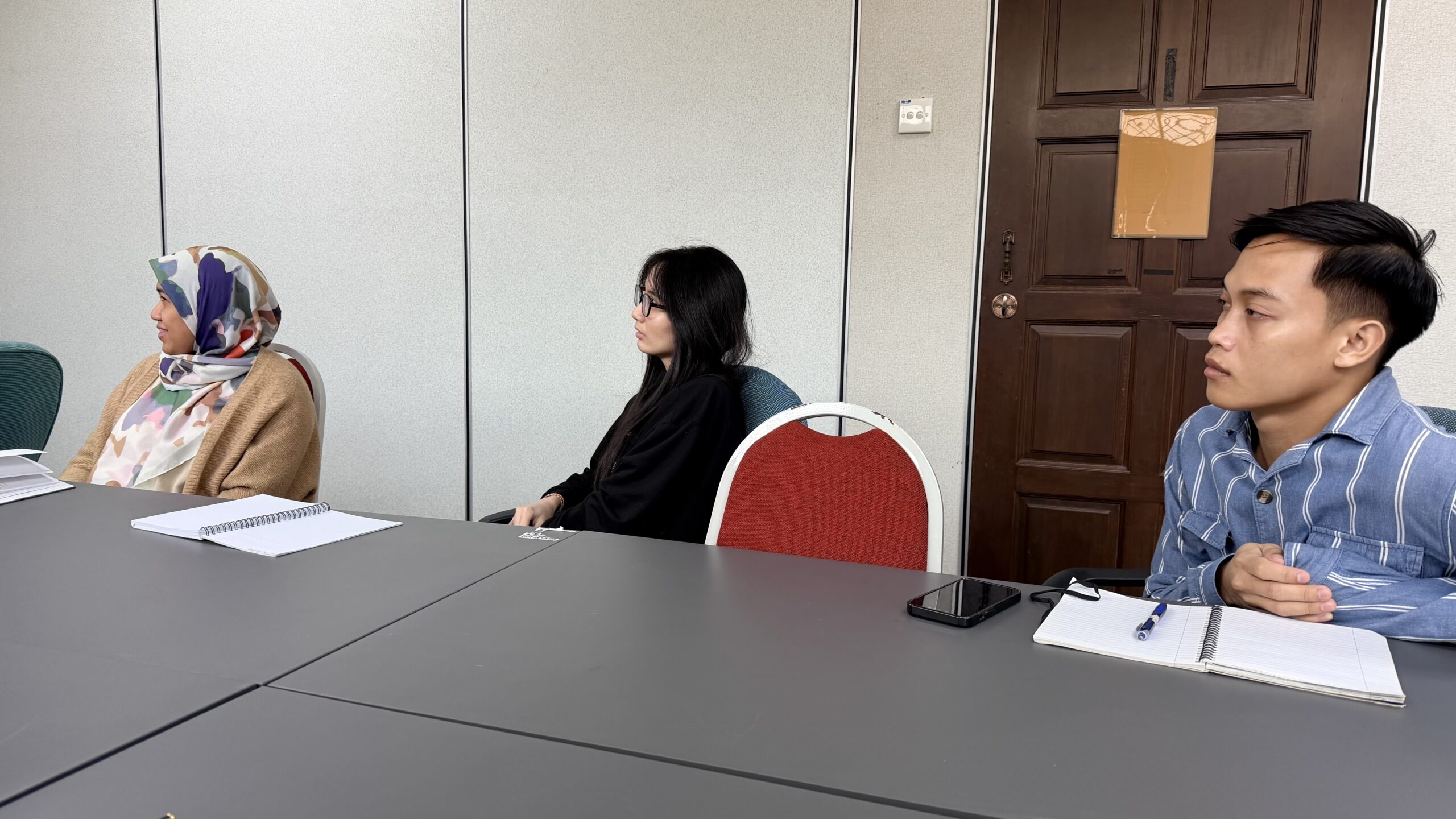
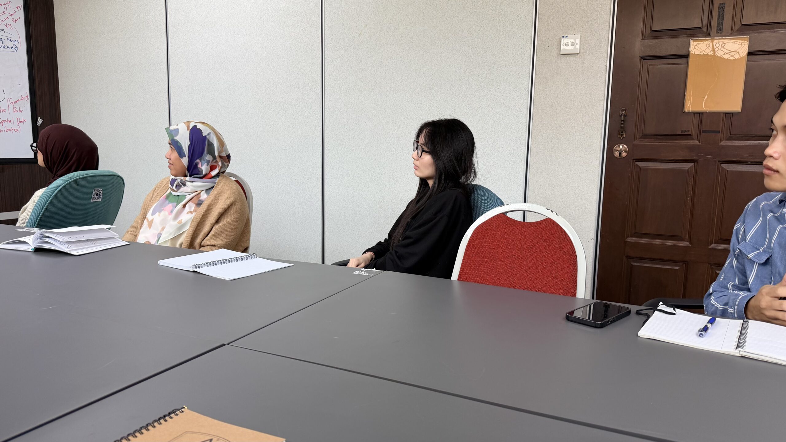
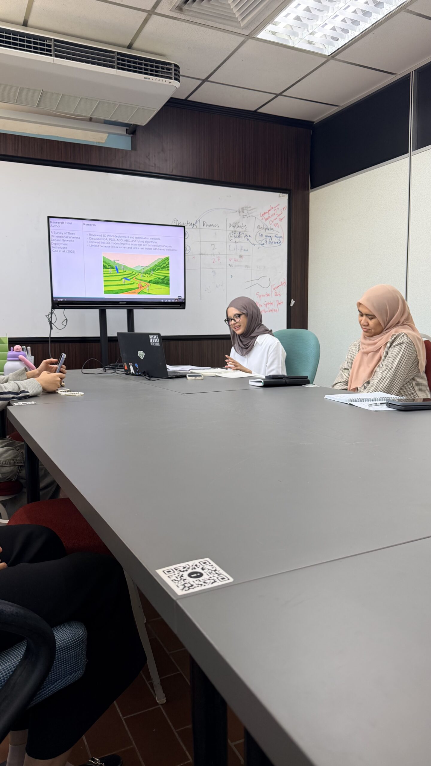
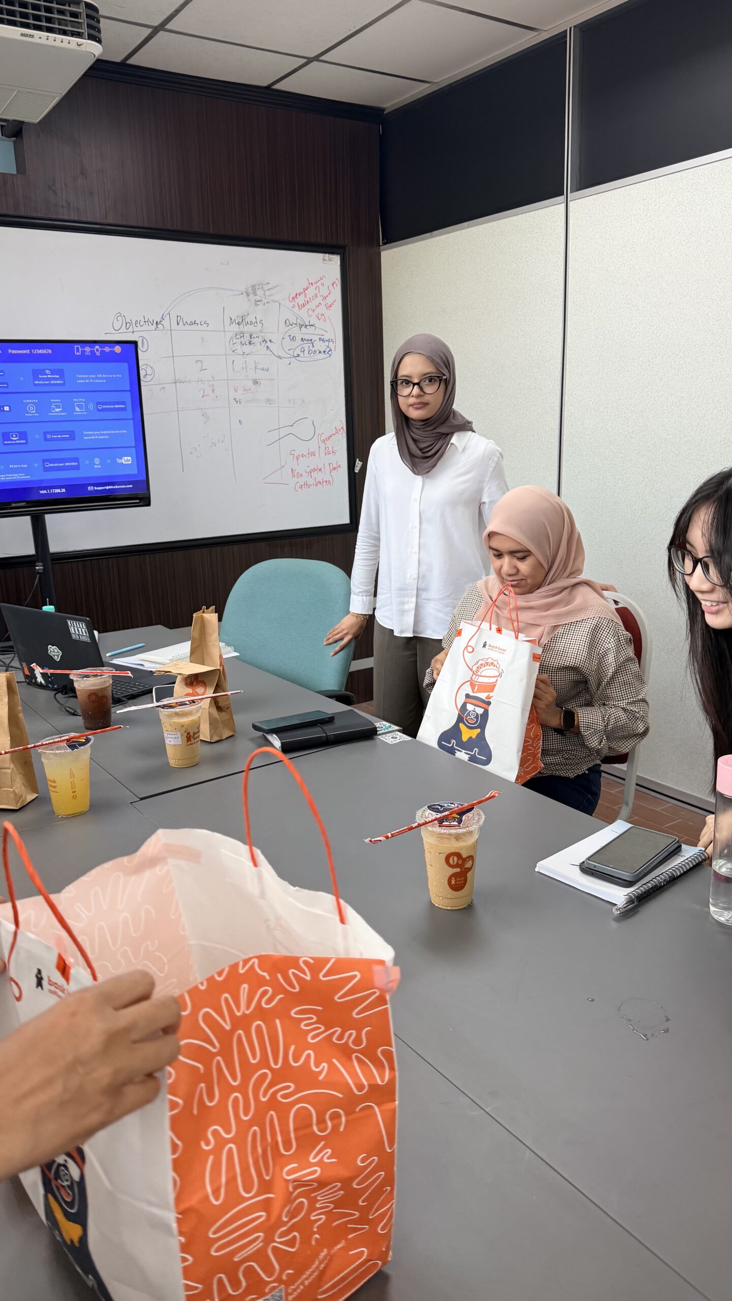
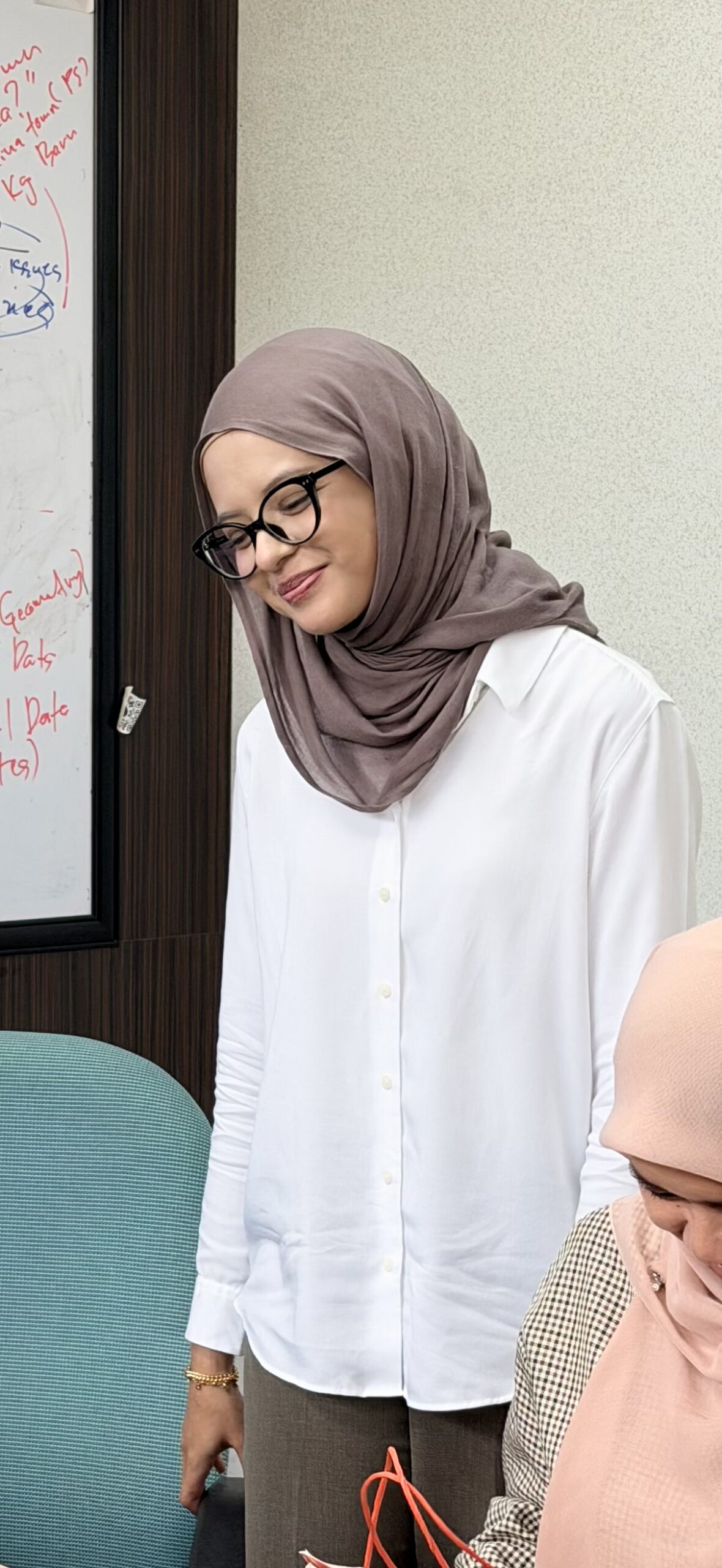
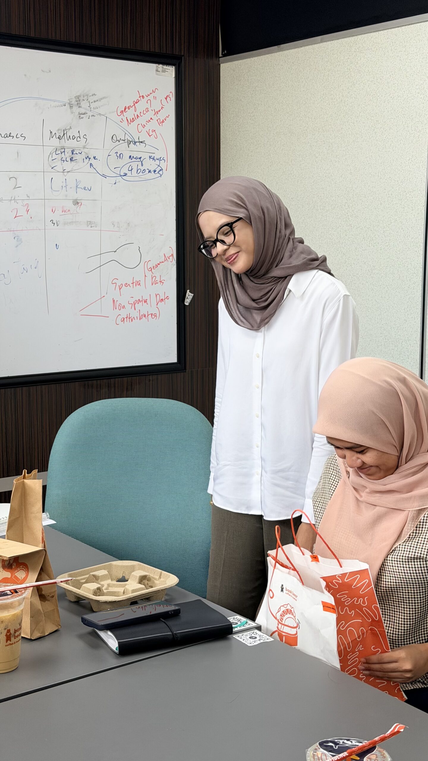
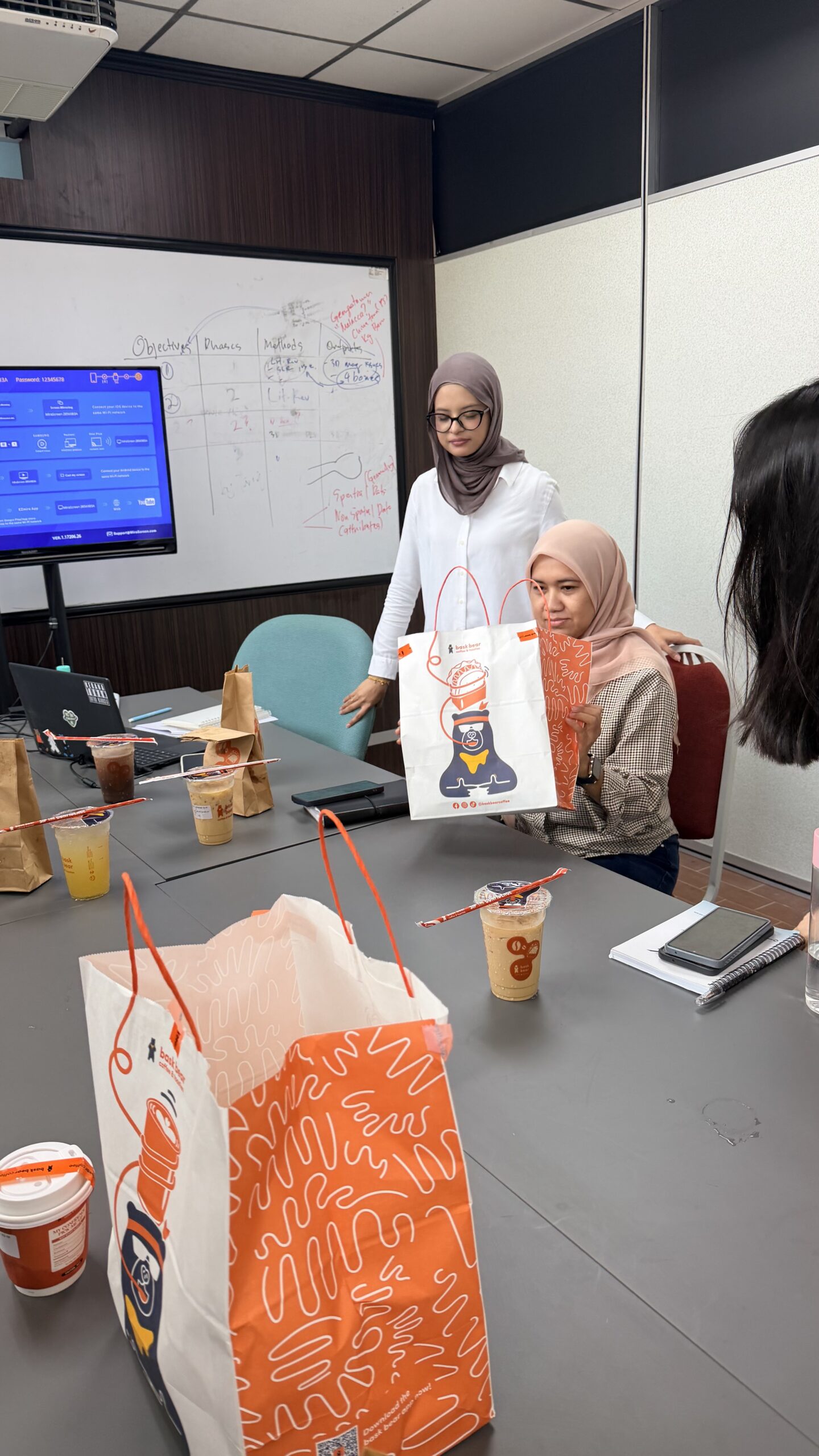
Today was Damia’s turn for a presentation prep session. She’s presenting her MPhil proposal this week. Last week it was Melati, this week it’s Damia. Funny how it happened back-to-back and in order too 😂

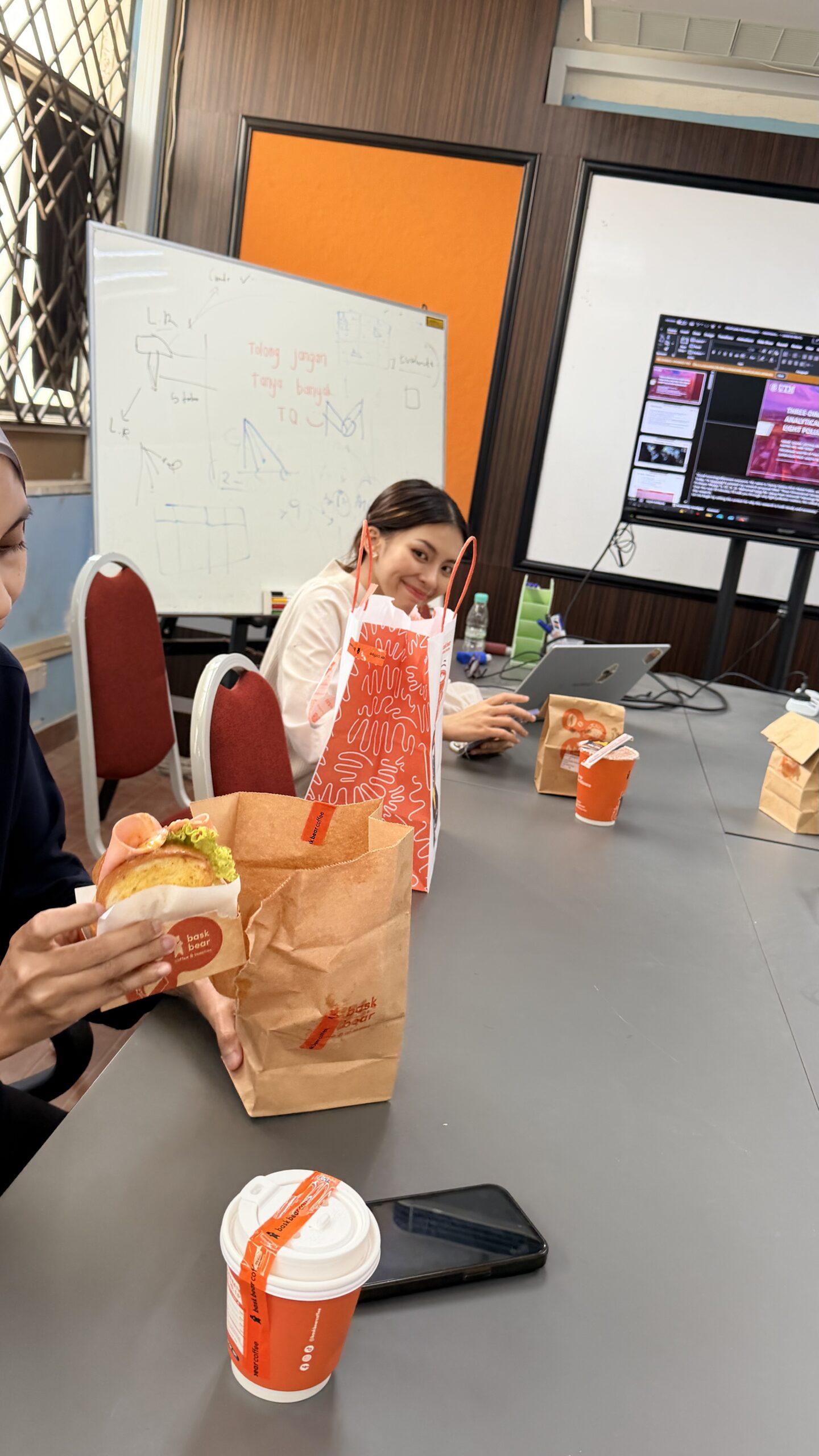
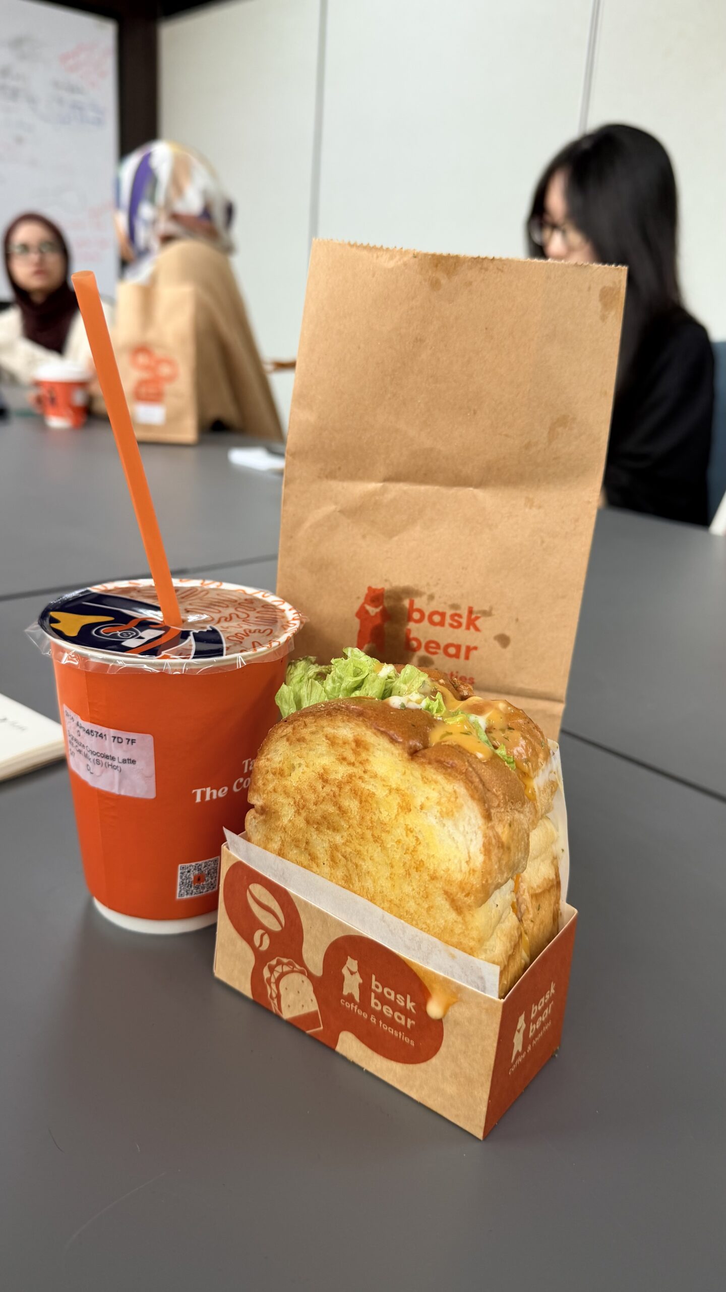
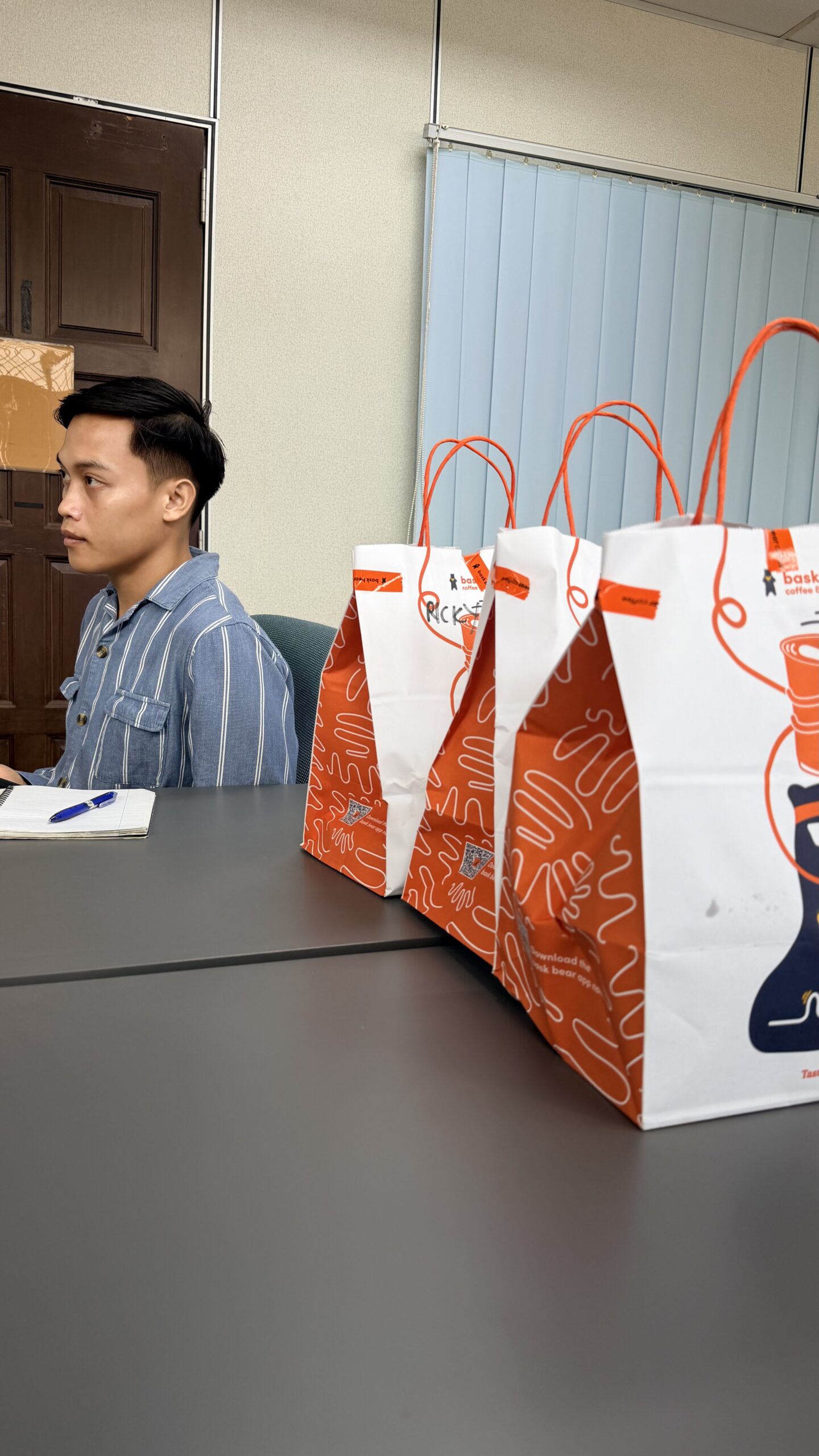
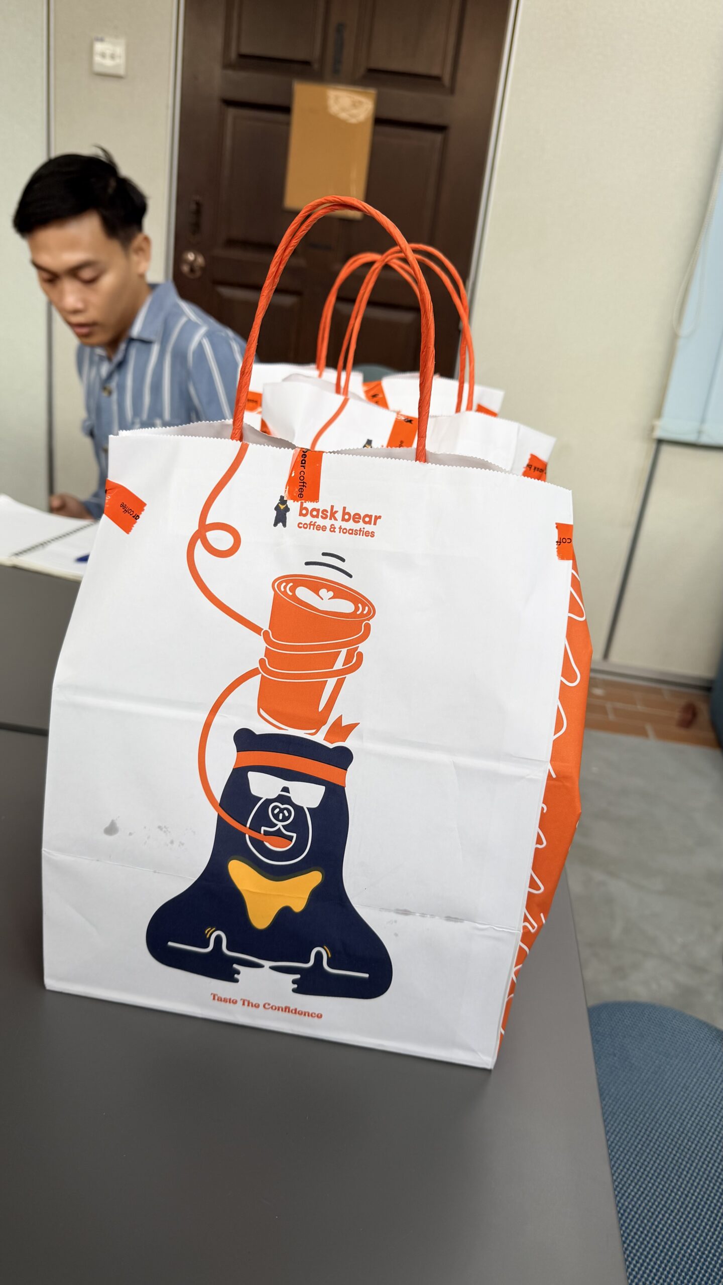
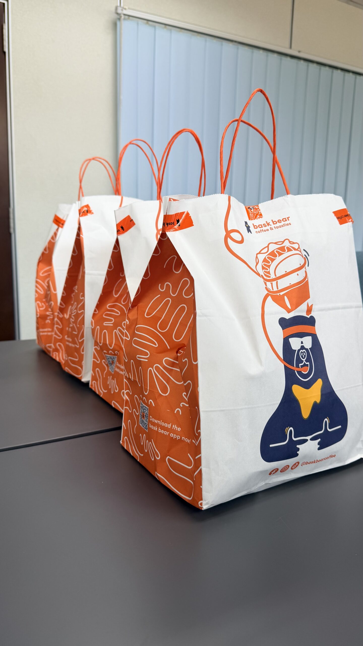
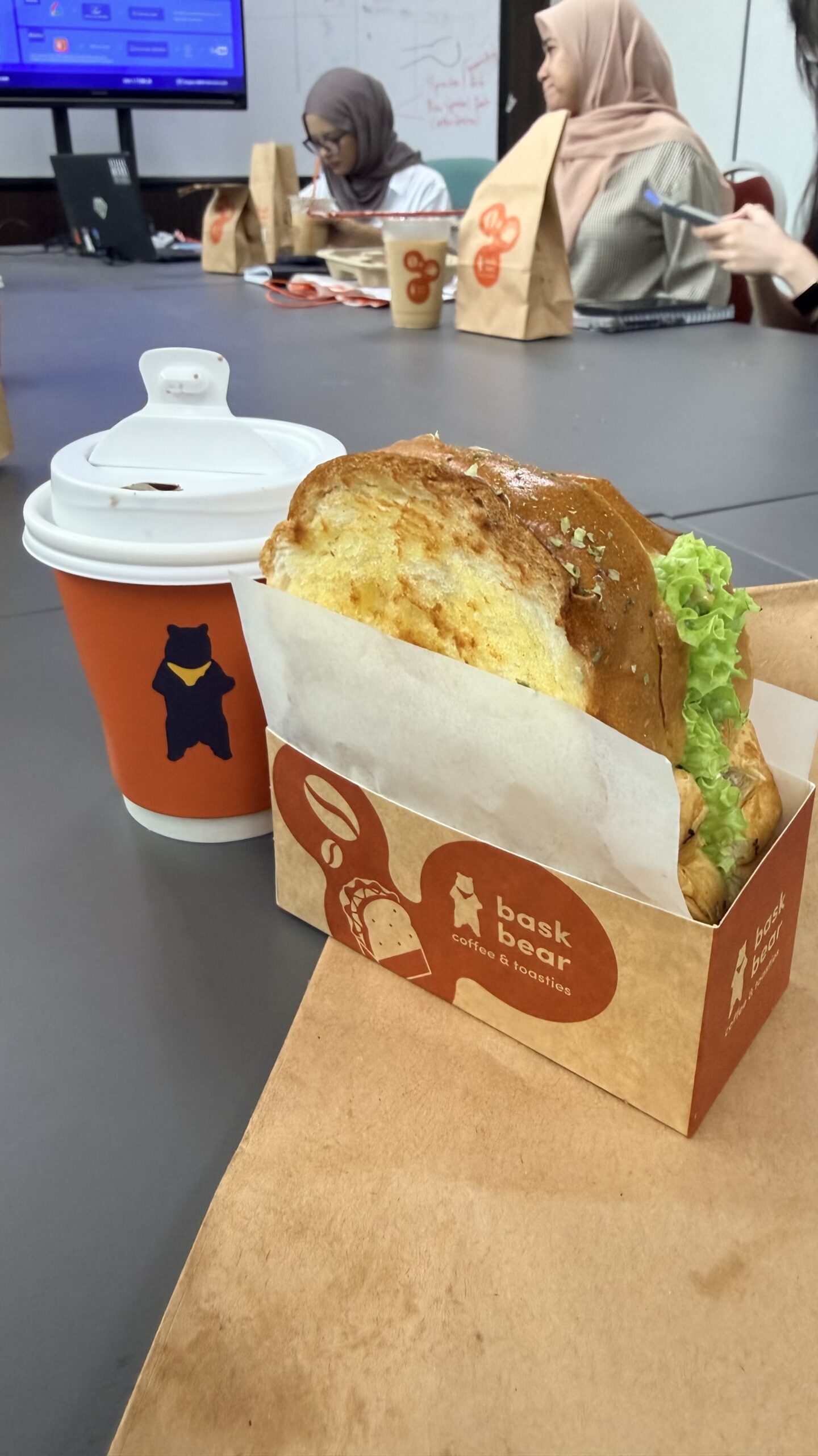
This week, we repeated the session again with Bask Bear for breakfast in the lab ☕🥪

So this time, Melati finally got to grill Damia after getting grilled by her last week 🤣

But honestly, these “grilling sessions” are actually so valuable. We challenge each other, spot things we might have missed, and learn so much in the process. Tough love, but worth it. 💪📚

WHEN THE SAME CONFERENCE CALLS YOU BACK, BUT THIS TIME FOR A DIFFERENT ROLE

WHEN THE SAME CONFERENCE CALLS YOU BACK, BUT THIS TIME FOR A DIFFERENT ROLE

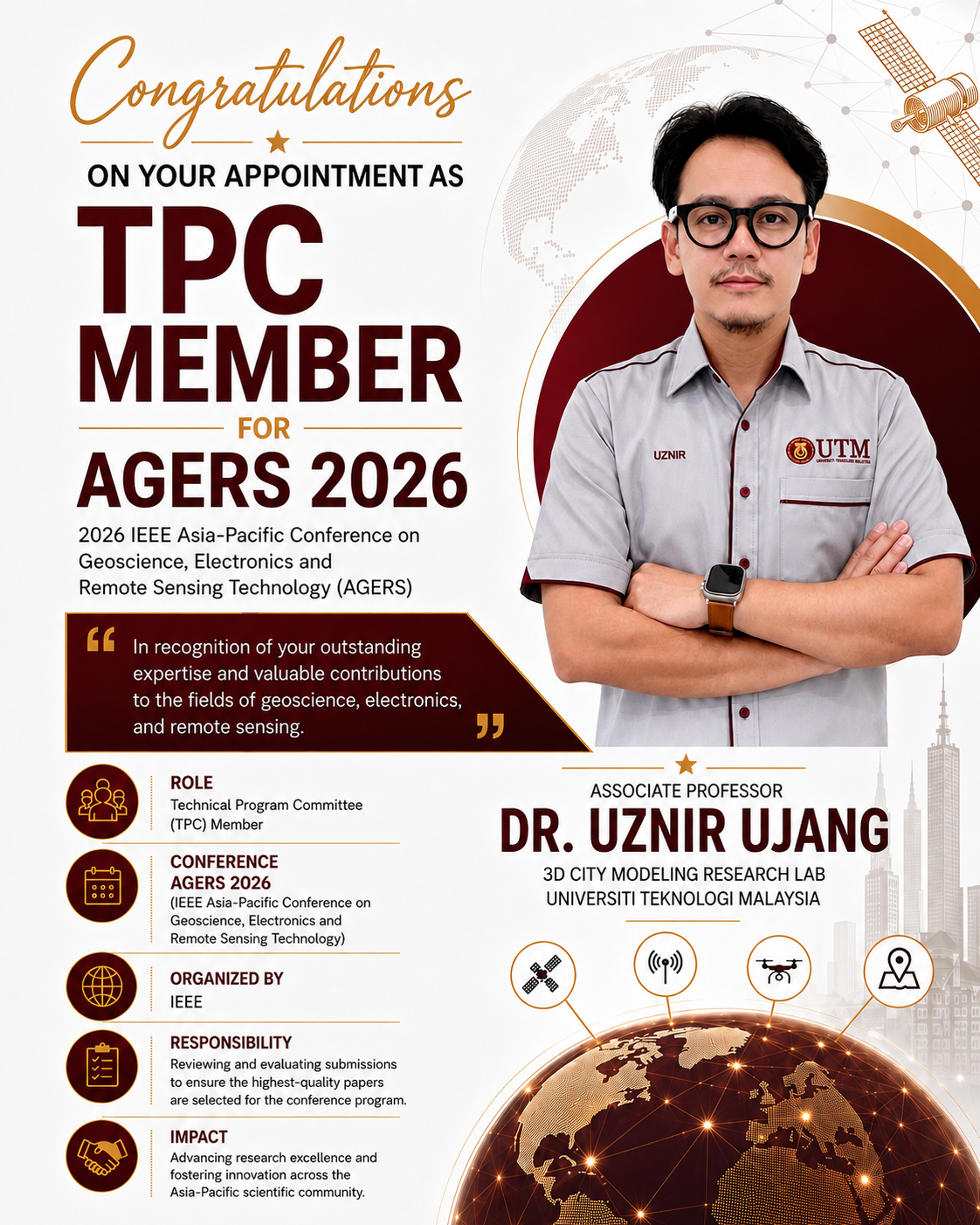
Last year, we contributed our research to AGERS 2025, the IEEE Asia-Pacific Conference on Geoscience, Electronics and Remote Sensing Technology.
This time, I received an invitation to return for AGERS 2026, not only as a researcher, but as a Technical Program Committee (TPC) Member.

The role comes with a different responsibility. It means contributing behind the scenes by supporting the technical review process, evaluating research quality, and helping ensure that the work presented at the conference meets appropriate academic standards.
AGERS brings together researchers working across geoscience, electronics, remote sensing and emerging technologies throughout the Asia-Pacific region. These areas are also closely connected to much of the work we are doing in geospatial science, GeoAI and 3D urban modelling.

It is always nice when participation in a research community develops into an opportunity to contribute back to that same community.
Thank you to the AGERS 2026 organising committee for the invitation and confidence.

Looking forward to doing my small part in making the conference a good one.

#AGERS2026 #AcademicService #RemoteSensing #GeospatialScience #ResearchCommunity

I KNOW IT’S YOUR MOMENT, BUT LET ME INTERRUPT

Screenshot

I

KNOW IT’S YOUR MOMENT, BUT LET ME INTERRUPT 🤍

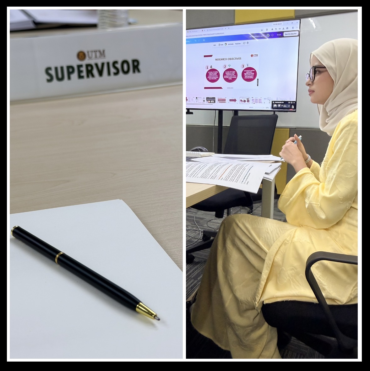
From her very first presentation with me to what I saw today, her growth has been remarkable.

As a supervisor, seeing a student reach this “style” is one of the most fulfilling parts of the journey even if it is “just” a proposal defence. I’ve watched her grow since day one with me. 🥹

Congratulations Melati, on passing your MPhil proposal defence with flying colours. Keep improving, keep growing, and never settle too soon. 🌷

#ProudSupervisorMoment #FromDayOne #ProudOfHerGrowth #AcademicJourney #KeepGrowing

CALL FOR PAPER ICDSG2026


Call For Papers:

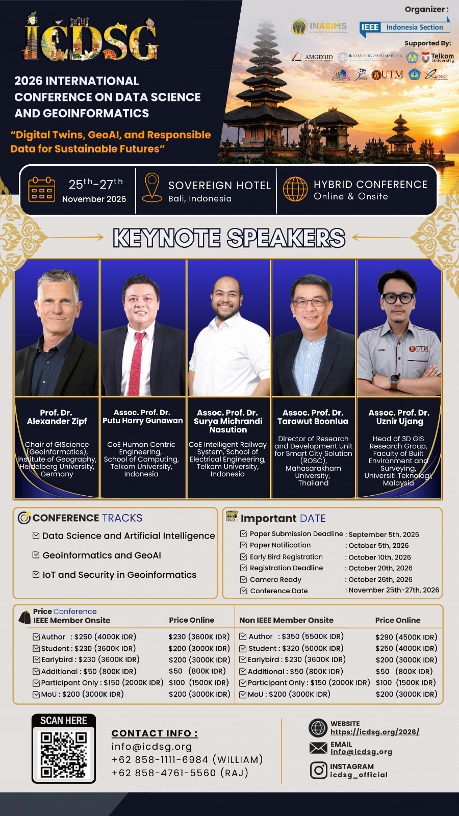
📝 The 2nd International Conference on Data Science and Geoinformatics 2026 (ICDSG 2026)

🖥 Hybrid Conference (25-27 November 2026)

📍 Venue:

Bali, Indonesia

📍 Sovereign Bali Hotel

 Tracks

———————–

The conference welcomes all topics that are relevant to:

📌 Data Science and Artificial Intelligence

📌 Geoinformatics and GeoAI

📌 IoT and Security in Geoinformatics

Important Dates

————————

📆 Submission Deadline

5 September 2026 

📆 Registration Deadline

20 October 2026

📆 Conference Date

25-27 November 2026

Keynote Speakers

————————–

1. Prof. Dr. Alexander Zipf (Heidelberg University, Germany)

2. Assoc. Prof. Dr. Putu Harry Gunawan (Telkom University, Indonesia)

3. Assoc. Prof. Dr. Surya Michrandi Nasution (Telkom University, Indonesia)

4. Assoc. Prof. Dr. Tarawut Boonlua (Mahasarakham University, Thailand)

5. Assoc. Prof. Dr. Uznir Ujang, (UTM, Malaysia)

For more information, please visit our conference website.

https://icdsg.org/2026

GROOMING RESEARCHERS, ONE STUDENT AT A TIME 🎓


GROOMING RESEARCHERS, ONE STUDENT AT A TIME 🎓

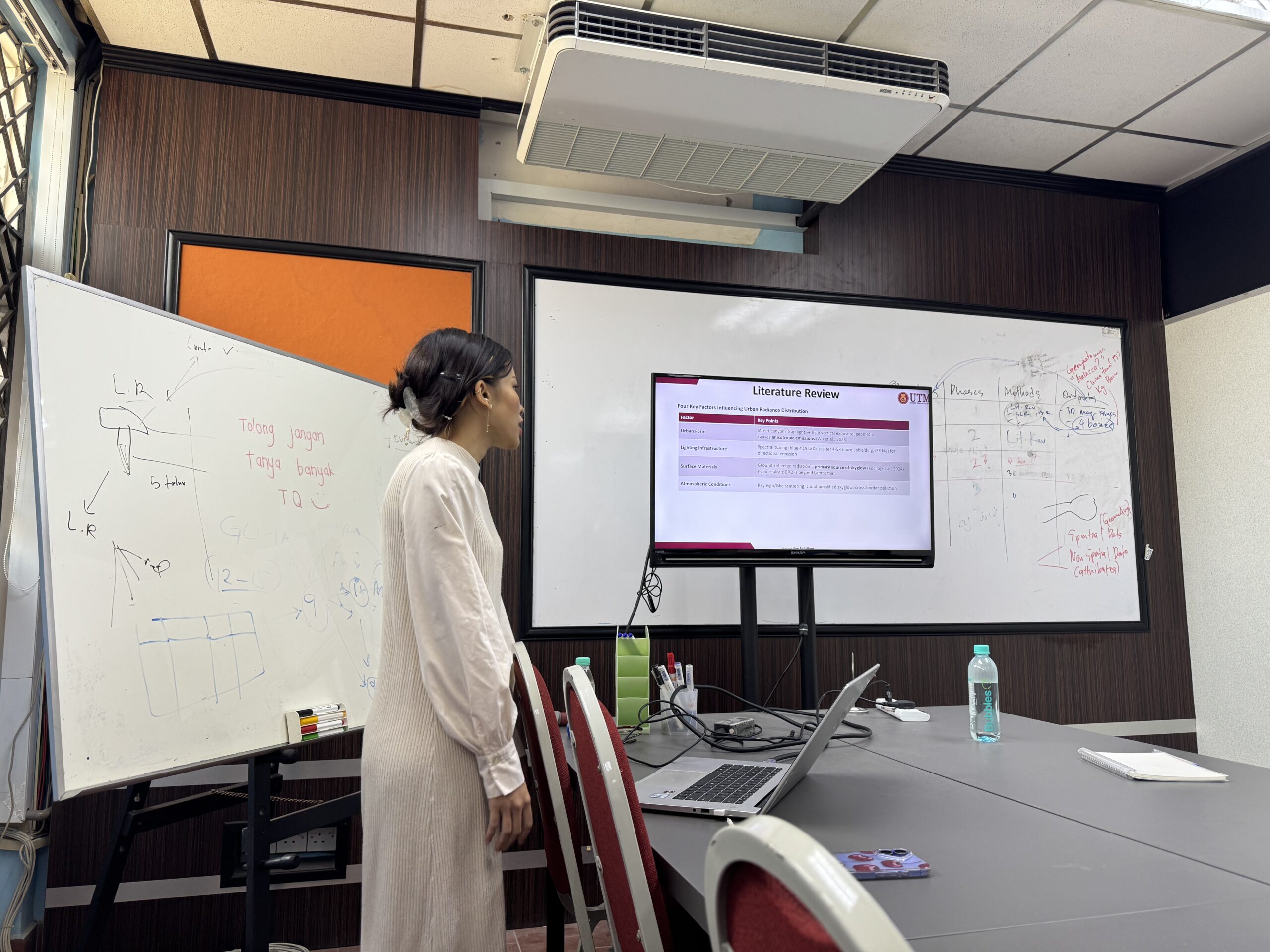
Today, I had a mock proposal presentation session with my MPhil student Melati, as she prepares for her upcoming proposal presentation.

In our lab, this is part of the process. Before students go into an important presentation, we spend time going through not only what to present, but also what to do and what not to do during the presentation. How to structure the story, how to explain the research clearly, how to respond to questions, and even the small things that can make a big difference in how confidently the work is delivered.
But there is another part that I personally pay attention to.

Beyond the research itself, I try to identify what each student individually needs to improve.
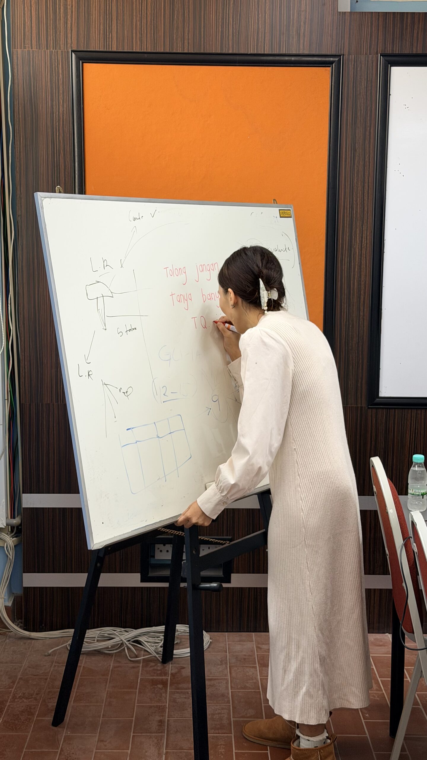
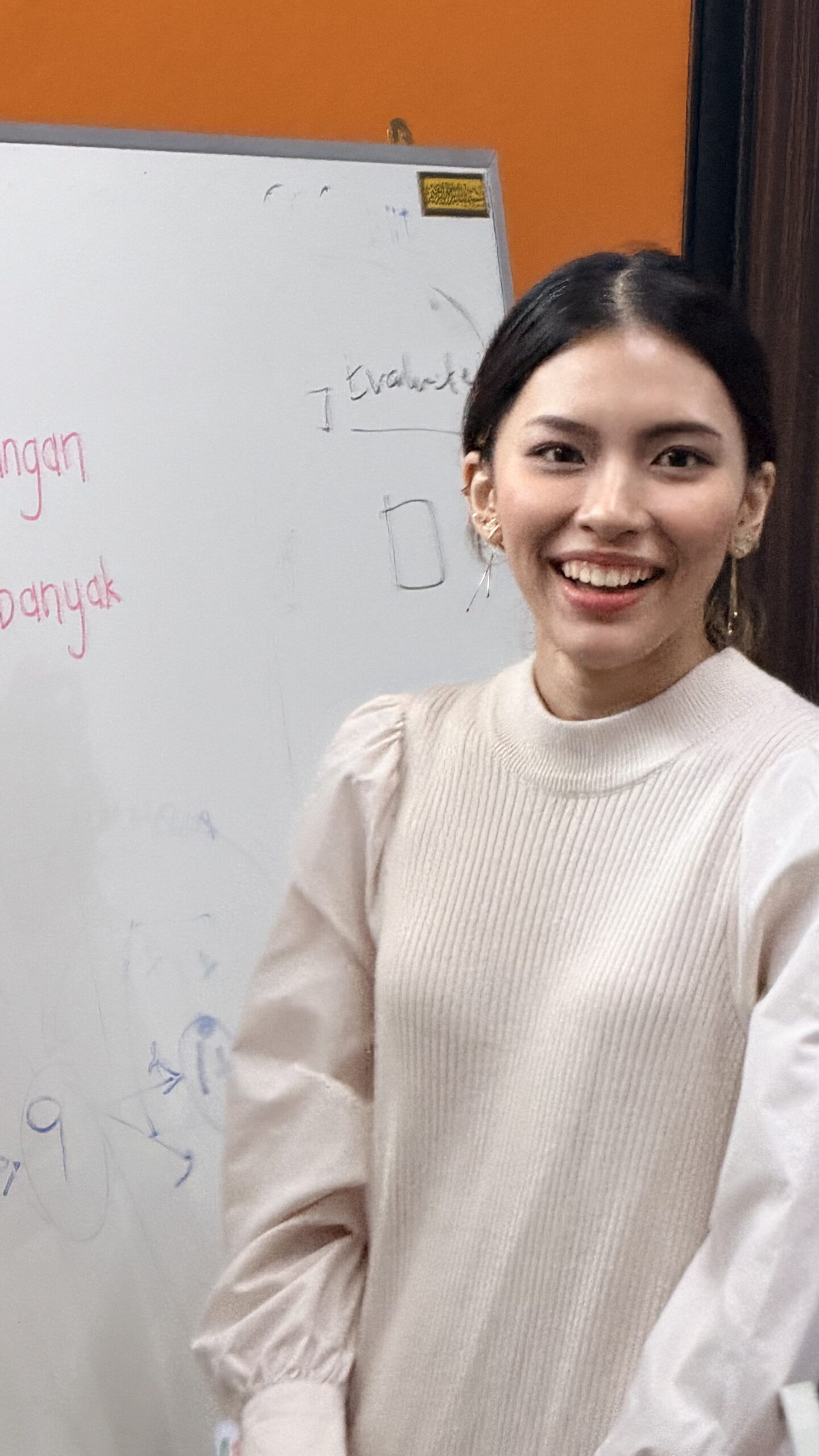
For one student, it may be confidence. For another, it may be how they communicate technical ideas. Some need to improve their slides, some need to sharpen their research argument, while others need to learn how to answer questions more strategically.
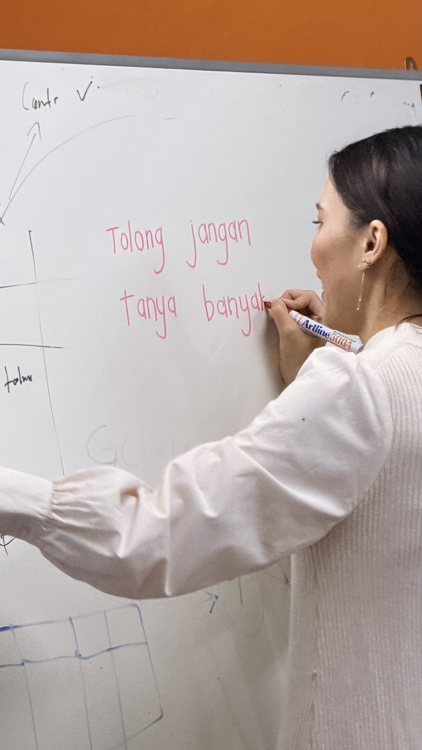
Because every student is different, the way we groom them should also be different.

Perhaps that is one thing that makes our research lab a little special 🫢

We do not really have a one-size-fits-all approach.

We groom our students in a tailor-made version, one researcher at a time.

All the best for your proposal presentation Melati! 💪🏻

#ResearchSupervision #MPhilJourney #ResearchTraining #PostgraduateLife #3DCityModelingLab

THIS ONE TAKES ME A LITTLE OUTSIDE MY USUAL LANE

THIS ONE TAKES ME A LITTLE OUTSIDE MY USUAL LANE

Most of my work revolves around GIS, 3D city modelling and GeoAI. So it is always interesting when research collaboration brings me into a broader territory.

Glad to see our new edited book, “Earth Geosciences, Geophysics and Geotechnical Engineering,” now officially published by Springer Nature in 2026 as part of the Sustainable Landscape Planning and Natural Resources Management series. 

I had the opportunity to serve as one of the editors together with Zeynal Abiddin Erguler, Vinita Vishwakarma, Eduardo L. Krüger and Sharul Sham Dol. 

The book brings together research across geosciences, geophysics and geotechnical engineering, particularly on how these disciplines can contribute to sustainable resource management, environmental protection and better understanding of the Earth and its resources. 

What I enjoy about projects like this is the opportunity to step beyond our usual research boundaries. Sometimes the most interesting ideas emerge when different disciplines meet and we begin looking at the same problem from completely different perspectives.

Thank you to my fellow editors, contributing authors and everyone involved in bringing this book from an idea to a published volume.

Another book on the shelf. More importantly, another collection of knowledge ready to be used by the research community.

📖 Book:

https://link.springer.com/book/10.1007/978-3-032-26038-3

#SpringerNature #Geosciences #GeospatialScience #AcademicPublishing #ResearchCollaboration

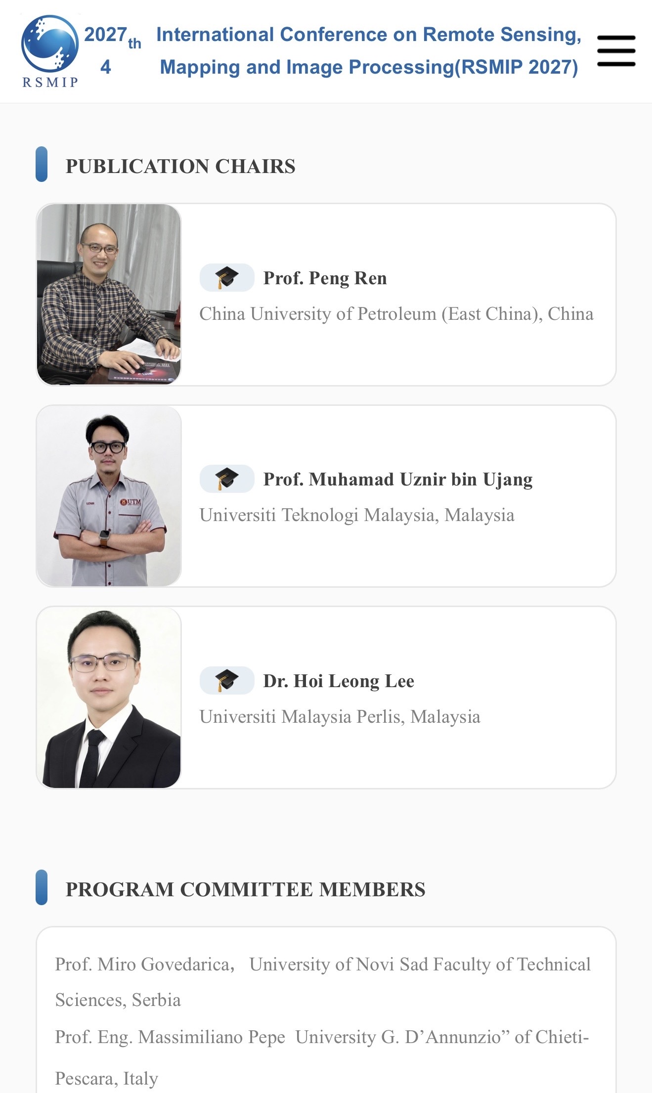
ANOTHER INTERNATIONAL ROLE, THIS TIME FOR RSMIP 2027 

Screenshot


ANOTHER INTERNATIONAL ROLE, THIS TIME FOR RSMIP 2027 

Another invitation from China, and another opportunity to contribute to the international research community.

I have been invited to serve as Publication Chair and Editor for the 4th International Conference on Remote Sensing, Mapping and Image Processing (RSMIP 2027), which will be held in Xi’an, China, from 22 to 24 January 2027.

The conference brings together academics and industry experts working across remote sensing, mapping, image processing, geospatial technologies, and related applications.

As Publication Chair and Editor, part of the responsibility is to support the publication process and help maintain the quality of the research presented through the conference. It is always interesting to contribute from the other side of academic publishing, not only as an author, but also in helping research from the wider community move towards publication.

And Xi’an itself makes this invitation even more interesting. It is one of China’s great historic cities and was the eastern starting point of the ancient Silk Road. Today, it is also a major centre for higher education, science and technology. Quite a combination of history and innovation for a conference on mapping and remote sensing.

Thank you to the RSMIP 2027 organising committee for the invitation and confidence. Looking forward to contributing to the team. 

#RemoteSensing #GeospatialScience #AcademicPublishing #RSMIP2027 #InternationalCollaboration

IS IT A MAP OR A PICTURE?

IS IT A MAP OR A PICTURE?

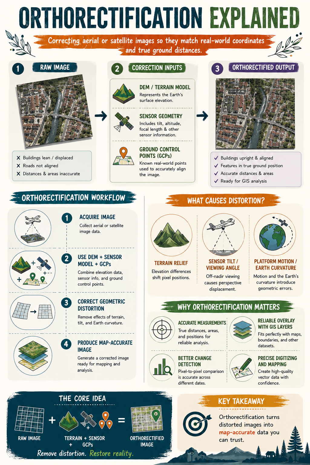
Have you ever looked at a drone or satellite image and noticed buildings appearing to lean, roads looking slightly misplaced, or measurements that just don’t seem right? 

The image may look accurate, but appearances can be deceiving.

Raw aerial and satellite imagery often contains geometric distortions caused by terrain elevation, sensor tilt, viewing angle, aircraft movement, and even the curvature of the Earth. These distortions can affect the true position of features on the ground.

This is where orthorectification comes in.

Orthorectification is the process of correcting aerial or satellite imagery so that every pixel is placed in its true ground location. By combining elevation data, sensor information, and Ground Control Points (GCPs), distorted images are transformed into map-accurate datasets that can be trusted for analysis.

Why does this matter?

✅ Accurate distance and area measurements

✅ Reliable alignment with GIS layers

✅ Better change detection and monitoring

✅ More precise mapping and digitising

✅ Greater confidence in decision-making

A simple way to remember it:

📸 Raw Image + Terrain Data + Sensor Information + GCPs = Orthorectified Image

The next time you use drone or satellite imagery, ask yourself this question:

Am I looking at a picture, or am I looking at a map?

Because in GIS, that difference matters.

#GIS #RemoteSensing #Orthorectification #Geospatial #GISLearning