Sr. Ts. Dr. Radzuan Sa’ari received his Certificate in Land Surveying in 1990 and his Diploma in Land Surveying in 1994 from Politeknik Ungku Omar (PUO). In 1997, he completed his B.Sc. in Land Surveying from the Faculty of Geoinformation and Real Estate (FGHT), Universiti Teknologi Malaysia (UTM). He obtained his M.Sc. in Land Surveying from FGHT, UTM in 2002, and his Ph.D. in Civil Engineering from UTM in 2016, focusing on the applications of Digital Close-Range Photogrammetry, Digital Image Processing, and Structural Deformation Analysis.
He began his academic career at UTM as a Research Assistant in 1997 at FGHT. He was appointed as a Tutor (DA41) in 1999 and later as a Lecturer (DS45) at the Faculty of Civil Engineering in 2002. Since 2017, he has been serving as a Senior Lecturer (DS52) in the Department of Water and Environmental Engineering, School of Civil Engineering, Faculty of Engineering, UTM. He has also served as the Coordinator of the Surveying Unit and course coordinator for Engineering Surveying and Surveying Camp courses since 2012. He now appointed as Academic Manager Undergraduate at Faculty of Civil Engineering.
Dr. Radzuan is a member of the Geotechnical Research Group (GRG), Faculty of Civil Engineering, UTM. He is also a member of the Royal Institution of Surveyors Malaysia (RISM), a Graduate Member of the Malaysia Board of Technologists (MBOT), and a Professional Technologist (Ts.) under MBOT. He has been involved in more than 42 research projects with a total funding of approximately RM 2.6 million, serving as a project member and as a project leader for one project. Throughout his research career, he has played an important role in contributing to the GRG with full commitment.
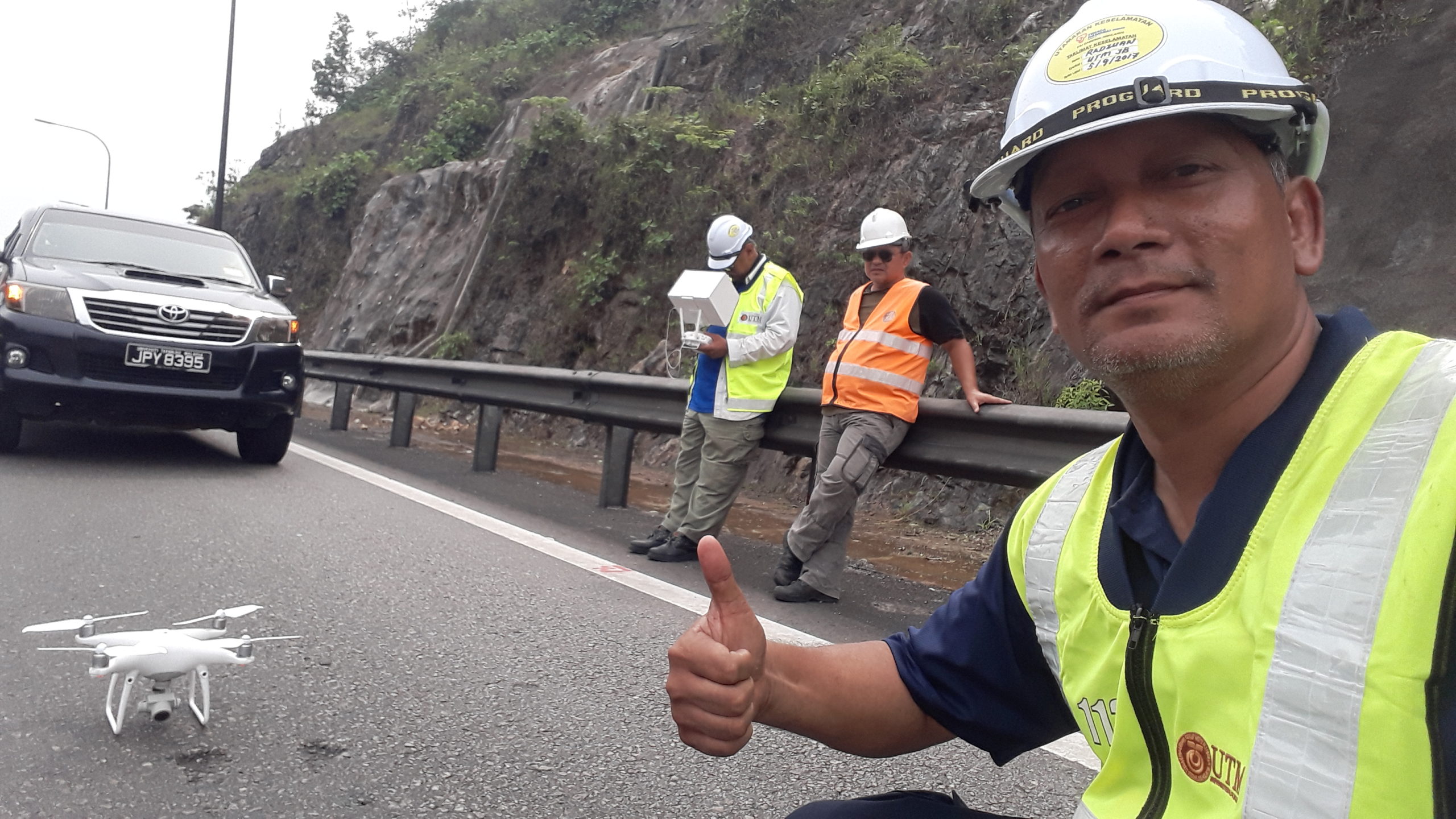
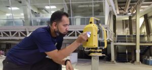
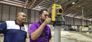
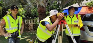
His research interests include surveying and mapping applications in support of civil engineering, such as laboratory experiments, digital image processing, engineering surveying, deformation and monitoring surveys, hydrographic surveying, GNSS surveying, digital close-range photogrammetry, aerial photogrammetric mapping using drones/UAVs and LIDAR.
He has been actively involved in various research and consultancy projects related to geomatic engineering, civil engineering, and engineering education. While most of his funding has come from UTM’s GUP and MOSTI’s FRGS grants, he has also participated as a project member in four contract research projects, two international grants, and two local grants—demonstrating recognition of his expertise in solving industry problems. He has published 94 works, including 26 indexed publications (Scopus and ISI), 64 technical papers (conference proceedings, technical reports), and several book chapters.
Dr. Radzuan has also served as a referee for several conferences and journals, including the Seminar Kejuruteraan Awam (SEPKA), International Conference on Water Research (ICWR) in 2015, 2018, 2021, 2025 , GEOTROPIKA 2019, the International Conference on Sustainable Infrastructure Engineering (ICSIE 2018, UTHM), the 4th International Conference on Civil and Environmental Engineering for Sustainability (IConCEES 2017, UTHM), and the Journal of Sustainability Science and Management (UMT).
More Info About Me: