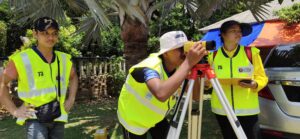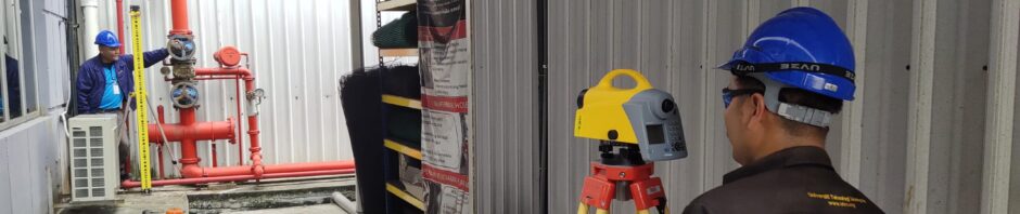
- Introduction to Engineering Surveying (From Field to Finish) Levelling, Traverse, Topography/Detail Survey, Survey Plan preparation and Setting-out.
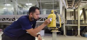
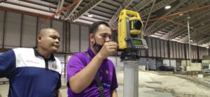
- Introduction to Robotic Total Station.
- SurveyCAD (Surveying Data Processing, Data Editor, Survey Plan Preparation, TIN, Grid, Contouring, Cross-Section, Long Section, Volume Calculation).
- 12D Surveying Software (Surveying Data Processing – Database Editor, Survey Plan Preparation, TIN, Gridding Contour, Cross-Section, Long Section, Volume Calculation).
- HydroPro Navigation and Processing Software (Bathymetry Data Processing – Data Editor, Survey Plan Preparation, TIN, Gridding, Contouring, Cross-Section, Long Section, Volume Calculation).
- Agisoft Photoscan for Image Processing (3D Surface Modelling, Mesh, Orthomosaic, Othophoto, Contouring, Cross Section, Volume Calculation and Export Data).
- Surfer Software for Civil Engineering Applications (3D Modelling, Contouring, Cross Section and Volume Calculation).
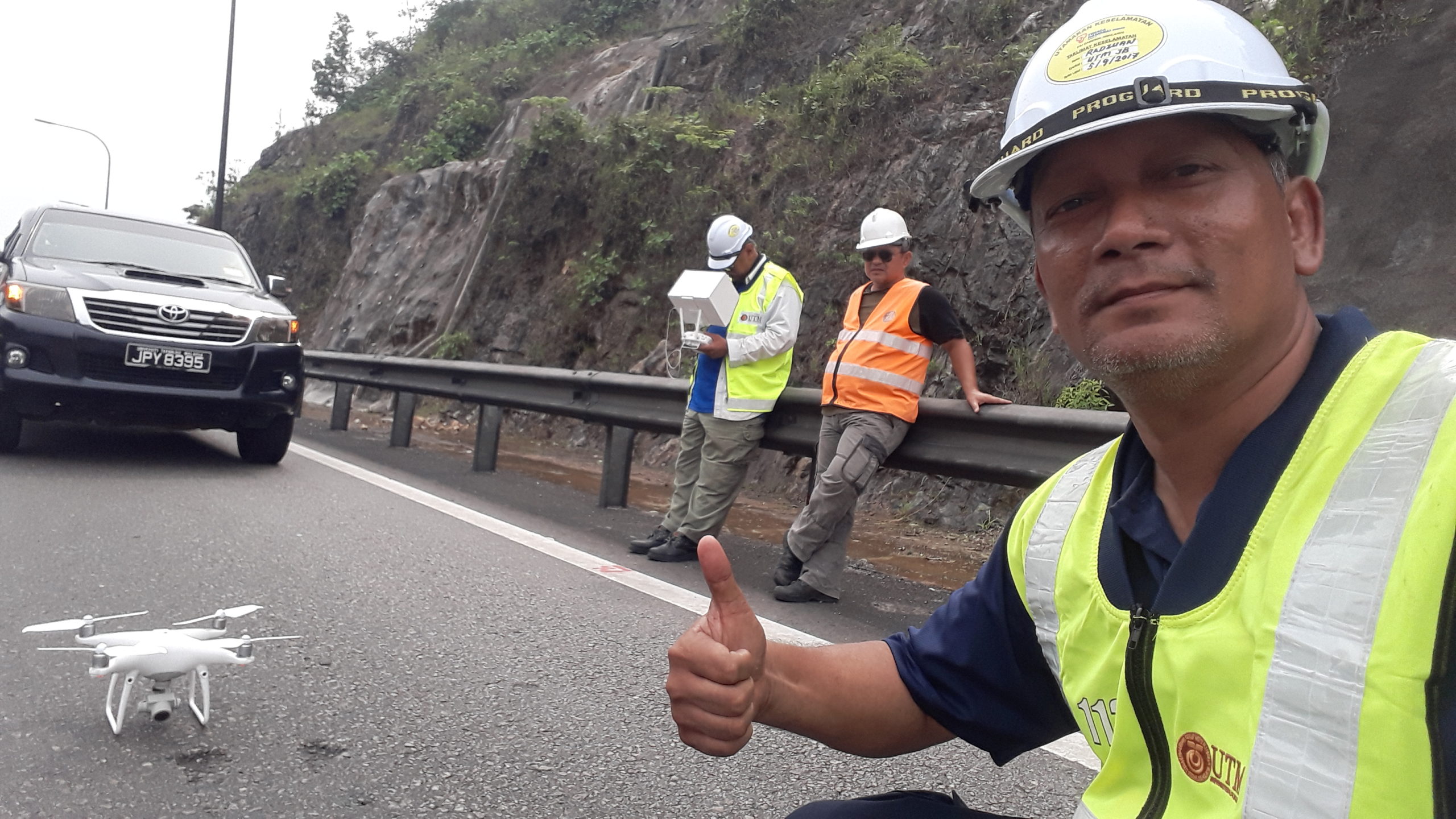
- Drone/UAV for Civil Engineering Applications (Drone Rules & Regulation, Introduction to types of Drone and its applications, Mission Planning, GCPs, Drone Deploy, Image registration, 3D Modelling, Mesh, Contouring, Cross Section and Volume Calculation).
- GNSS Surveying for Civil Engineering Applications – Static/RTK/DGPS GNNS Applications: GCPs/Topography/Setting-Out/Height Transfer etc.
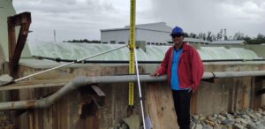
- Terrestrial Laser Scanner for Civil Engineering Applications.
- Terrestrial Laser Scanner for Laboratory Experiment.
- Basic Hydrographic Surveying for Civil Engineers.
- Proposed Quarry Rock Volume Estimation (From Borehole Log, Resistivity Data and Topography Data..
- Quarry Stockpile Volume Calculation.
- Earthwork Volume Calculation.
- Pre and Post Dredge Volume Calculation.
- Soil Settlement Monitoring Survey.
- Structure Monitoring Survey.
- Close Range Digital Photogrammetry for Laboratory Experiment.
Contact us for further enquiries:

- Sr. Ts. Dr. Radzuan Sa’ari
- Surveying Unit Coordinator
- Member of Geotechnical Research Group (GRG)
- School of Civil Engineering
- Faculty of Engineering, UTM
- Email: radzuans@utm.my
- Hp: 012-7512367

- Assoc. Prof. Dr. Mushairry Mustaffar
- Surveying Unit
- Member of Geotechnical Research Group (GRG)
- School of Civil Engineering
- Faculty of Engineering, UTM
- Email: mushairry@utm.my
- Hp: 016-7150838

- Assoc. Prof. Sr. Dr. Mohd Zulkifli Mohd Yunus
- Deputy Chair (Academic) SPACE, UTM
- Member of Geotechnical Research Group (GRG)
- School of Civil Engineering
- Faculty of Engineering, UTM
- Email: mzul@utm.my
- Hp: 019-7355577