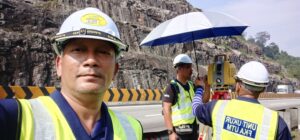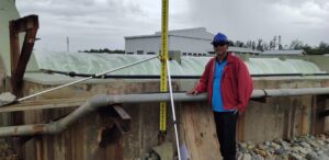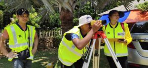
The Surveying Unit oversees the surveying or geomatic needs of the faculty’s community. It is well-equipped with some of the latest state-of-the-art equipment. The unit primarily provides teaching and learning, research and practical training to the students. As a way of contributing to the society, staffs in the unit are also involved in rendering professional surveying services to the third parties. The unit consists of three academic staffs, one of whom is the coordinator, one Assoc. Professor and two assistant engineers.
Member of Surveying Unit, School of Civil Engineering

- Sr. Ts. Dr. Radzuan Sa’ari
- Senior Lecturer
- Coordinator of Surveying Unit
- School of Civil Engineering.

- Assoc. Prof. Dr. Mushairry Mustaffar
- Senior Lecturer
- School of Civil Engineering.

- Mr. Kamruzaman Kamisan
- Assistant Engineer
- Head of Laboratory Staff (KSM)
- Surveying Unit
- School of Civil Engineering, UTM

- Mr. Hairul Hairi Harun
- Assistant Engineer
- Surveying Unit
- School of Civil Engineering, UTM
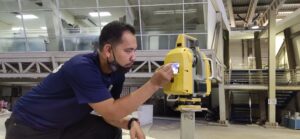
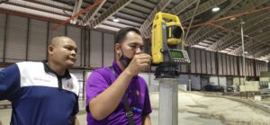
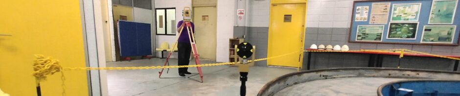
Facilities & Surveying Instruments
Total Station:
- Leica TCR805
- Leica TS06
- Topcon ES105
- Topcon GM105
Robotic Total Station:
- Robotic Total Station Leica TCR1201
- Robotic Total Station Topcon IS
GNSS Static, RTK & DGPS:
- Topcon Hyper II
- Topcon Hyper V
- South G1
- Gamin Hand Held
Terrestrial Laser Scanner (TLS):
- Topcon GLS 2000
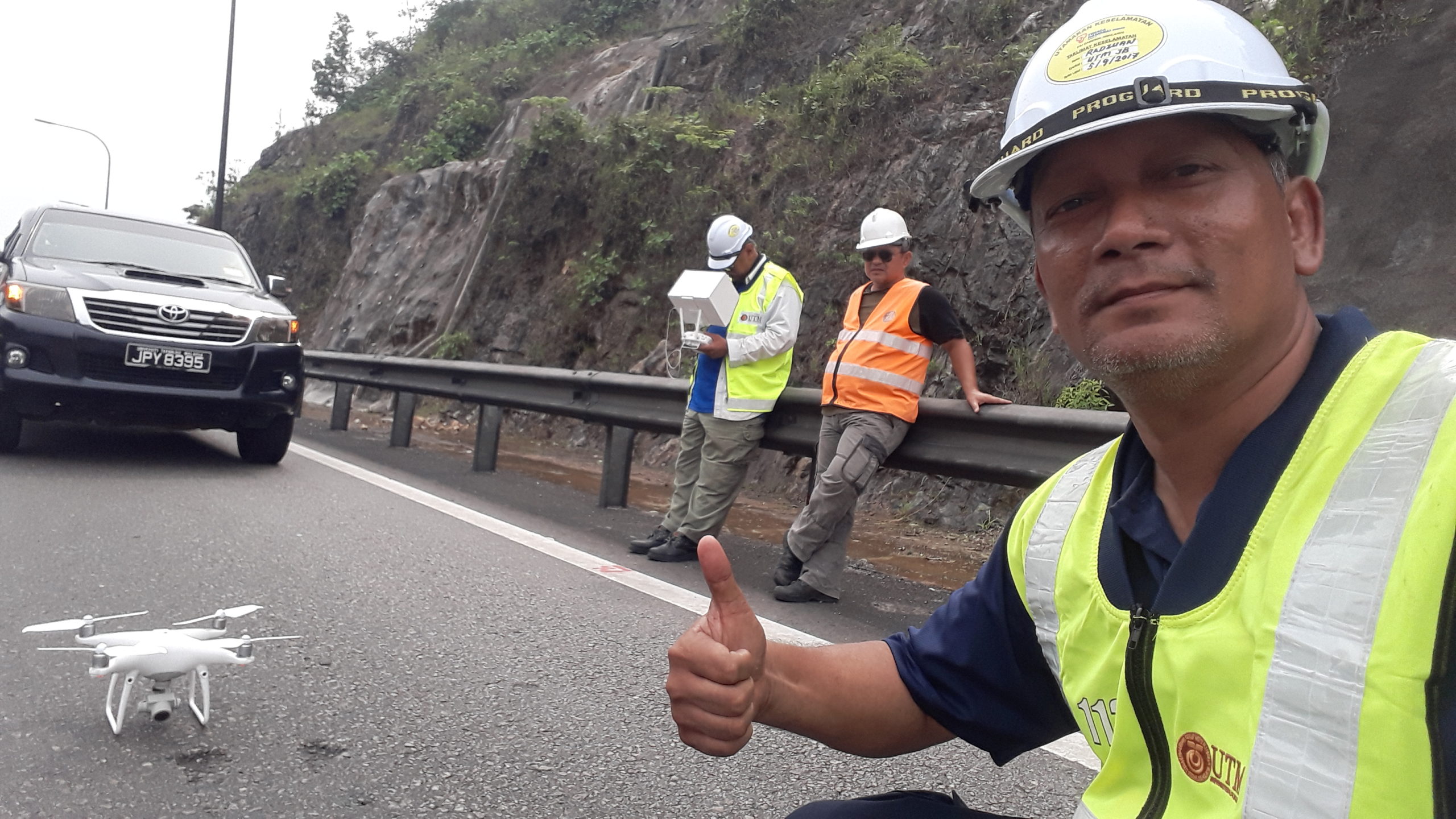
Drone/UAV:
- DJI Phantom 4 Pro
- DJI S1000
Auto Level:
- Topcon Auto Level ATB4, ATG6
- Leica Sprinter
- Sokisha
Precise Level:
- Leica Precise Level DNA
- Trimble Precise Level Dini 0.3
Echo Sounder:
- Valerport Midas Surveyor
Water Level Recorder:
- Valerport
- Water level logger
Surveying Software:
- SurveyCAD
- 12D
- HydroPro & Terramodel
- Hydropro Data Processing
- Topcon ScanMaster
- Topcon Magnet Tools
- Topcon Tools
- Surfer
- Agisoft Photoscan
- Pix 4D
Coordinate Transformation Software:
- Topcon Tools
- Topcon Magnet Tools
- HydroPro Coordinate Calculator
GNSS Processing Software:
- Topcon Tools
- Topcon Magnet Tools