Site Planning
- Students working in groups are given a proposed development site plan
- The site plan indicates – location of the proposed site, development components, existing contours/spot heights, existing road network, drain network and drainage reserves, stream, rivers/waterway location etc.
- Site planning module consists of: 1.Site Inventory Process; and 2.Site Analysis Process.
Site Inventory
- Site Inventory Process – study and observe development site plan to produce an ‘inventory’ list of important existing features (in and around) site that would have an impact to the infrastructure components to be designed later in the IDP series.
- This list shall include (but not limited to):
- 1.general existing site profile, undulation, location of highest peak levels and lowest levels, etc;
- 2.adjacent land use (virgin /developed);
- 3.locations and invert levels of existing drainage reserves or major waterways;
- 4.layout and levels of existing road and drainage network around the site;
- 5.existence of natural ponds and streams or wetlands in and around the vicinity of the proposed site, etc.
Site Analysis
- Site Analysis Process – information gathered from Site Inventory digested and basic grading (levels) plan conceptionalized, e.g.:
- 1.knowing the location of existing lowest level of the site then the location of the sewerage treatment plant can be logically sighted.
- 2.the best location for the elevated water reservoir to be within the vicinity of the highest peak.
- 3.location of the nearest existing waterway or the location of existing drainage reserves, the final discharge point can easily be established4.Information gathered from studying the existing road network around the proposed site helps identifying the best possible location of the major entrance to the proposed development plan.
Conceptual Grading
- All these decisions will lead the you to gradually form a conceptual grading (levels) plan that would establish the logic and feasibility to support all major utilities such as:
- DRAINAGE, SEWERAGE, domesticated WATER SUPPLY and ROAD NETWORKS for the proposed development plan.
Earthwork Design
- Actual Earthwork Design performed based on conceptual grading/levels developed earlier
- Proposed levels should be practical and workable to support/match major infrastructures:
- 1. Proposed main entrance road level with existing road levels,
- 2. Facilitate site drainage discharge to existing drainage network or existing storm water drainage reserves,
- 3.Facilitate sewerage flow from the far reaches of the development to the sewerage treatment plant at the lowest possible proposed level in the site etc.
- With these ‘trial’ proposed levels, calculate the ‘cut and fill’ volume of earth for the entire site
- 1. Process of selecting suitable ‘trial’ proposed levels and volume calculation repeated over and over again such that a ‘balanced cut and fill volume’ of earthwork design is obtained, or
- 2. A more economical earthwork design such as the ‘minimum cut and fill’ process are opted.
- Slope stability – to establish safe slope gradients for critical cut and fill slopes.
Assessment
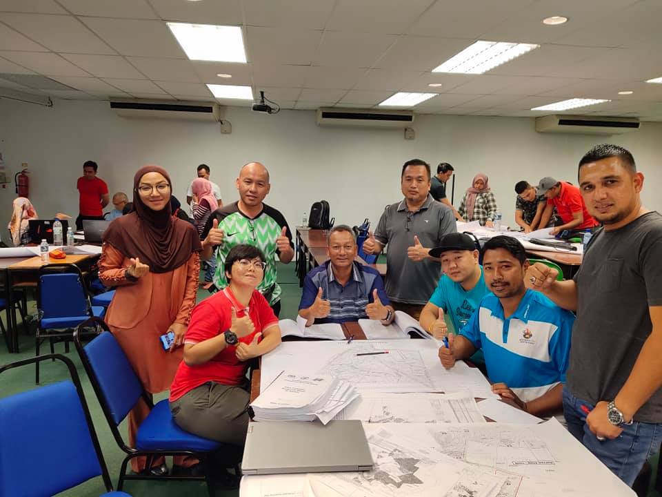
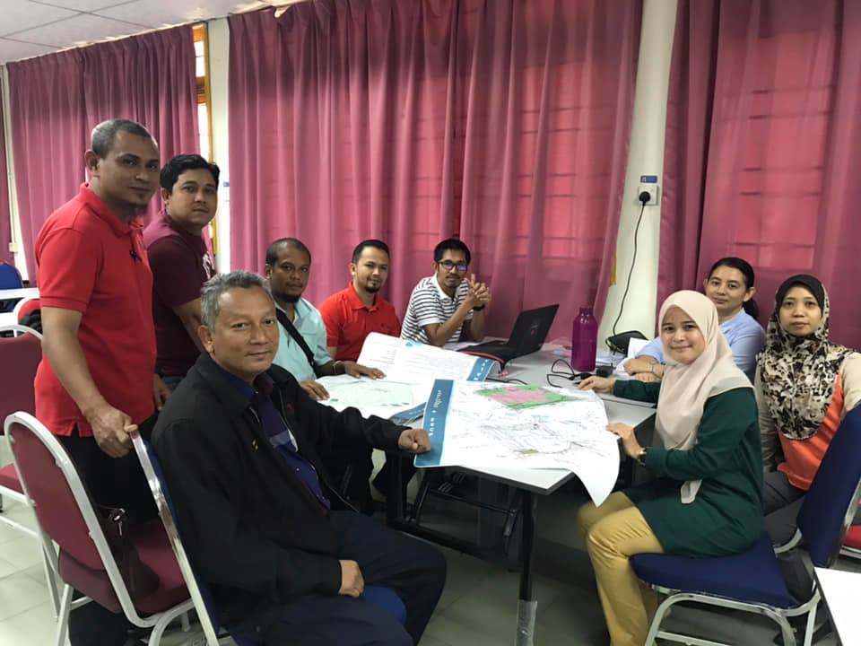
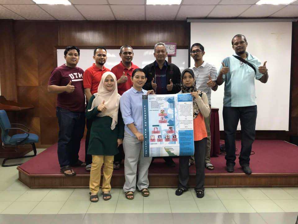
- At the end of this module you are required to PRESENT and ORALLY justify your respective site planning for infrastructure components in a ‘Poster Session’ where each group shall table their ‘Site Inventory ’ and ‘Site Analysis’ process together with their respective ‘Conceptual Grading or Levels Plan’ in graphical A1 color poster format.
- Scope of work (written report) that has to be completed shall include:-
- 1.Earthwork plan (A1) indicating proposed levels for buildings, roads, cut & fill slopes
- 2.Cut & Fill plan (A1) indicating cut & fill areas using different colors for cut and fill areas
- 3.Earthwork cross sections (A1) (at least 4 locations)
- 4.Earthwork volume calculation (spreadsheet)
- 5.Slope Stability Calculations