
This course provides the basic theory and practice of surveying to civil engineering students. Methods of establishing horizontal & vertical control for construction and design are explained, compared and practiced via fieldworks. Since accuracy of survey work is vital in ensuring designs are exactly positioned, students must be able to analyse errors so that standard accuracies are met. Detailing for producing site plans, area and volume estimations, road curves geometric design are also discussed. The concept of field survey automation and the usage of software are explained. At the end of the course, students are expected to be able to plan, execute, compute and analyse surveying works involved in establishing horizontal & vertical controls and producing plans for civil engineering applications. Students should also be able to geometrically design horizontal and vertical curves according to standards, perform area calculations and volume estimation for earthwork activities in civil engineering.
Contents:
- Chapter 1 – Introduction
- Chapter 2 – Levelling
- Chapter 3 – Traverse
- Chapter 4 – Detail Survey
- Chapter 5 – Road Curve Design
- Chapter 6 – Area, Volume & Mass Haul Diagram
Assessment:
- Test 1
- Test 2
- Practical 1
- Practical 2
- Practical 3
- Assignment
- Final Exam
Traverse Survey Traverse Survey – Setup Prism
 Traverse Survey Setup Prism
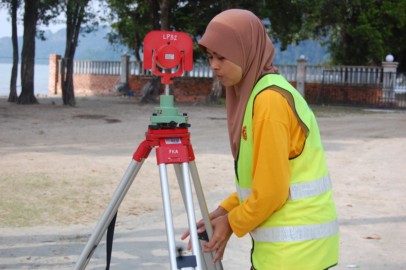 Levelling Survey
 Levelling Survey