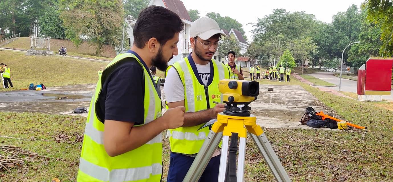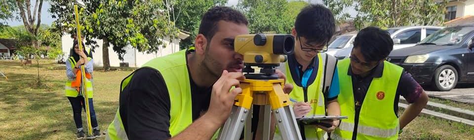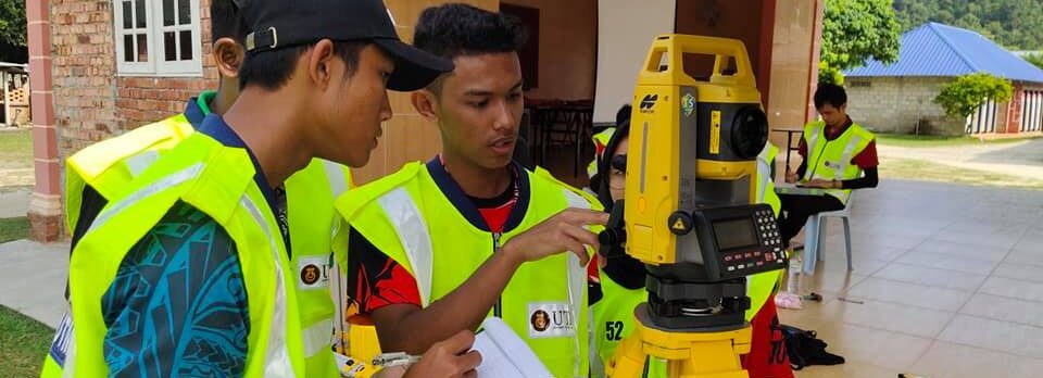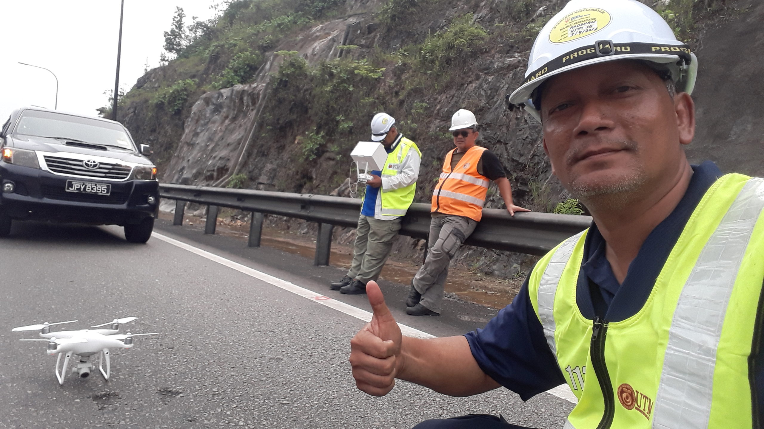
This course is part of a minor program that highlights the basic theory and practice of surveying. Methods of establishing horizontal & vertical controls are explained and compared. Detail survey to produce site plans, area and volume estimations, road curves geometric design are also discussed. Error analysis and adjustments are described. The concept of field survey automation and the use of software are explained. Typical field tasks required in civil engineering are also demonstrated. Common methods in field procedures, bookings and reduction of observations are illustrated. Practical aspects in establishing horizontal and vertical controls, setting out and detailing will be explained, compared and demonstrated. At the end of the course students are expected to be able to plan, execute, compute and analyse basic surveying works involved in establishing horizontal & vertical controls, curves, earthwork calculations and producing plans for civil engineering applications. Students should also be able to organise and execute field works.
Contents:
- Chapter 1 – Introduction
- Chapter 2 – Levelling
- Chapter 3 – Traverse
- Chapter 4 – Detail Survey
- Chapter 5 – Road Curve Design
- Chapter 6 – Area & Volume
- Chapter 7 – Mass Haul Diagram
Assessment:
- Test 1
- Test 2
- Practical 1
- Practical 2
- Practical 3
- Assignment
- Final Examination