This course provides the theory and practice of advanced surveying to civil engineering students. Methods of surveying measurement using modern and advanced technology civil engineering designs and projects are discussed The applications of precise levelling, 3D terrestrial laser scanning (TLS), global navigation satellite system (GNSS), photogrammetry and hydrographic surveying in typical civil engineering projects are highlighted. Deformation surveys, which are often required in dilapidation surveys is also discussed. The theory of error propagations and their adjustments are also discussed. Relevant fieldworks are conducted to enhance students’ grasp of the theory. At the end of the course, students are expected to apply advanced measurement techniques in solving positioning and dimensioning problems in civil engineering.
Contents:
- Chapter 1 – Introduction
- Chapter 2 – Settlement/Deformation Monitoring
- Chapter 3- Terrestrial Laser Scanner
- Chapter 4 – GNSS Surveying
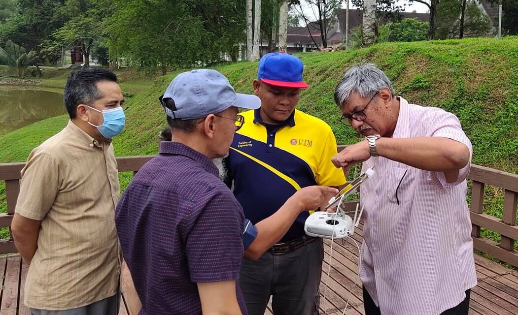
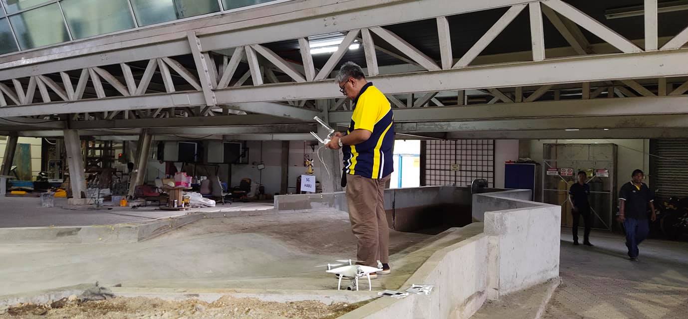
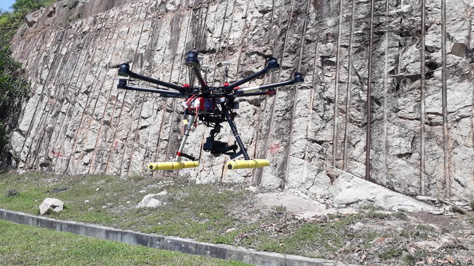
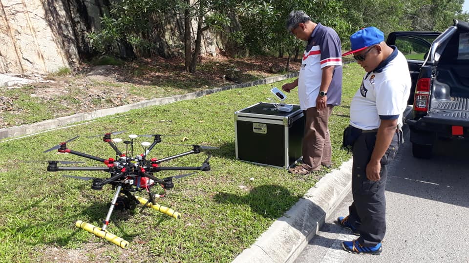
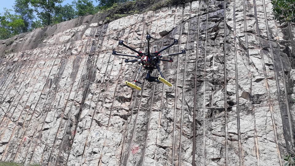
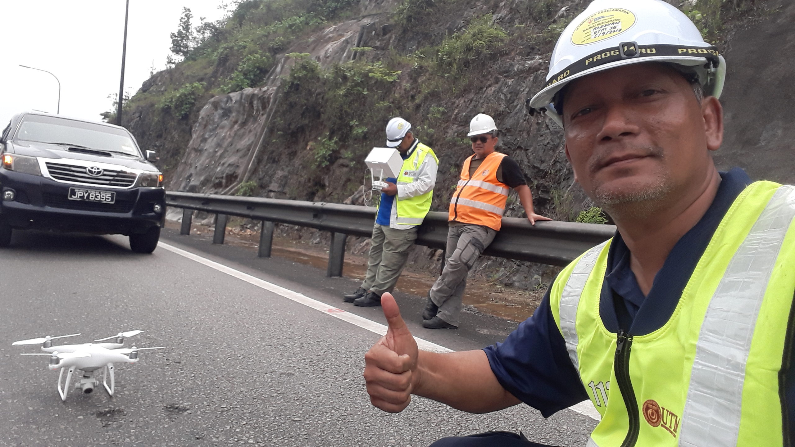
- Chapter 5 – Drone/UAV Mapping
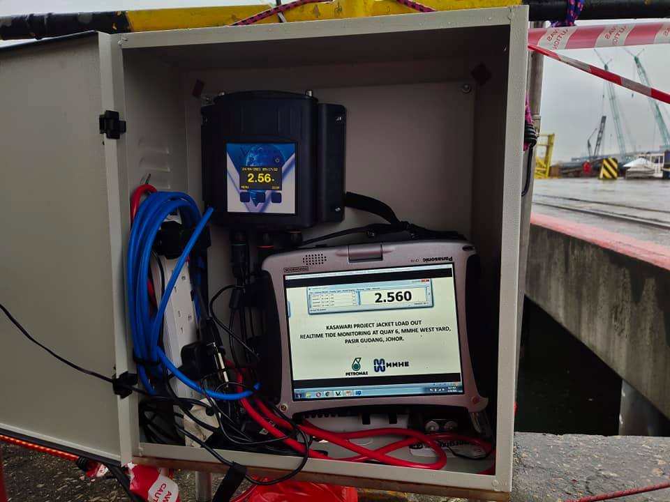
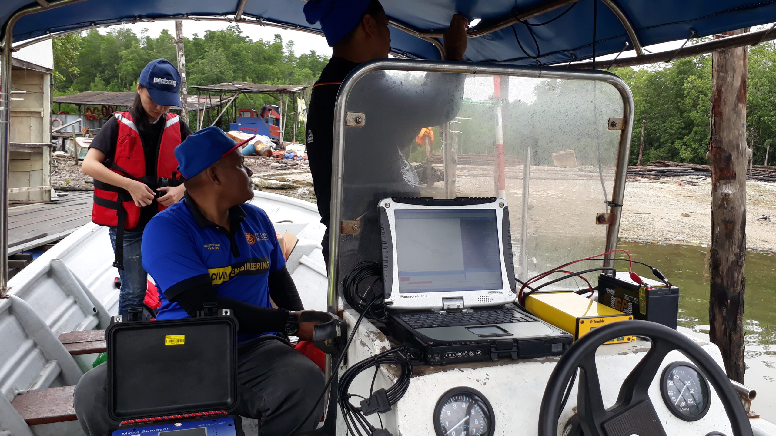
- Chapter 6 – Hydrographic Surveying
Assessment:
- Test 1
- Test 2
- Practical 1
- Practical 2
- Practical 3
- Practical 4
- Final Exam
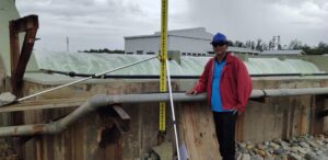
Persices Levelling Settlement Monitoring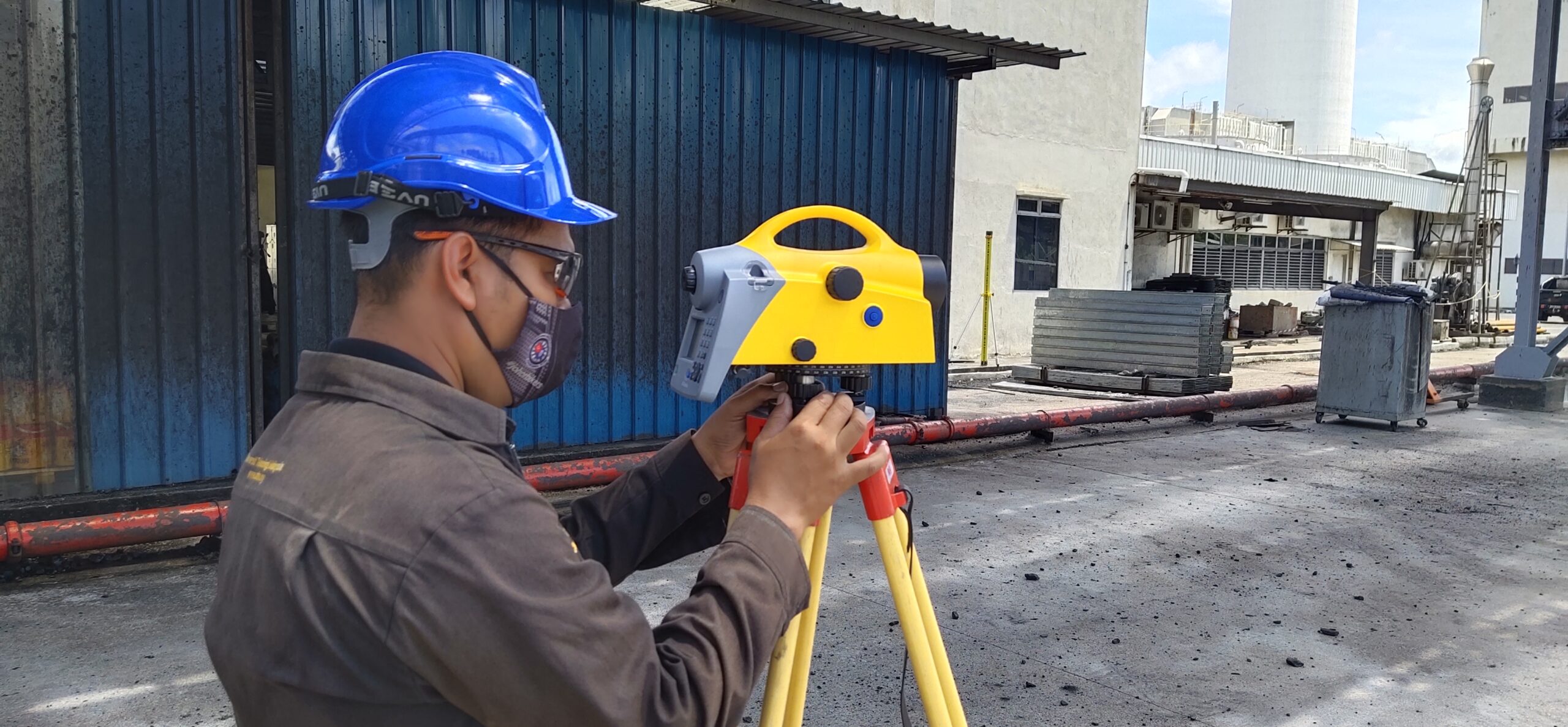
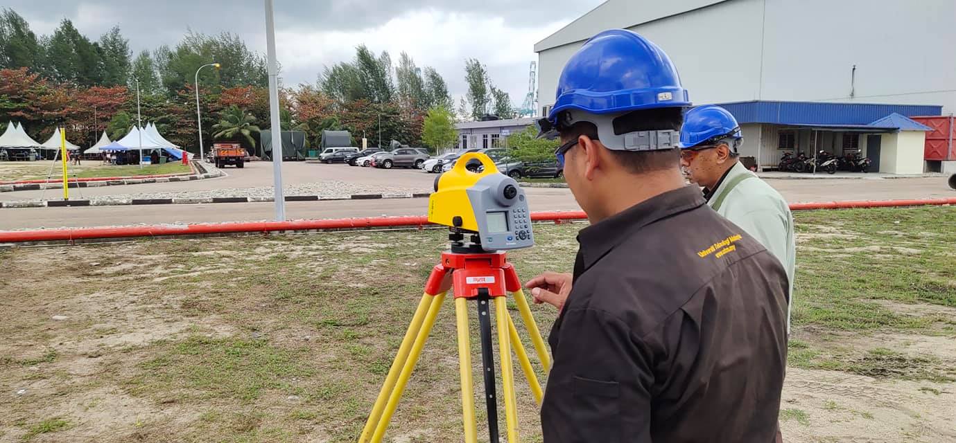
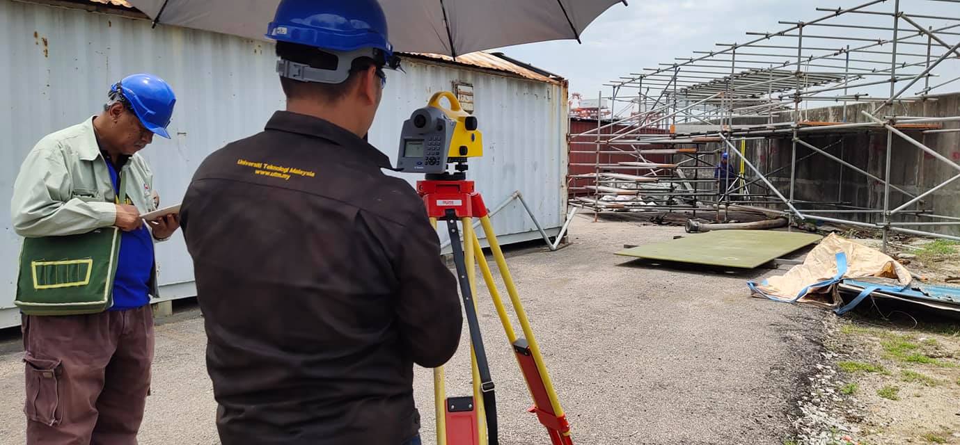

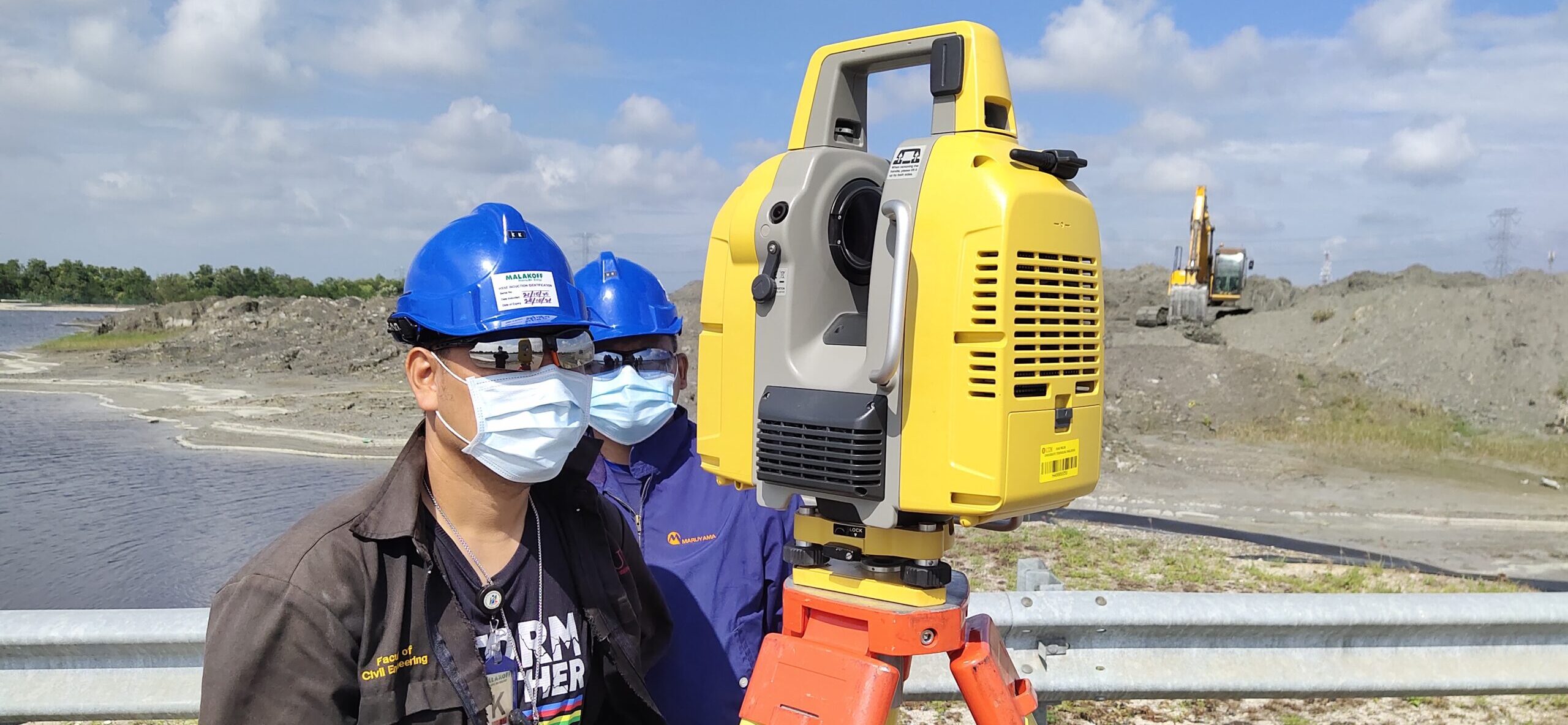
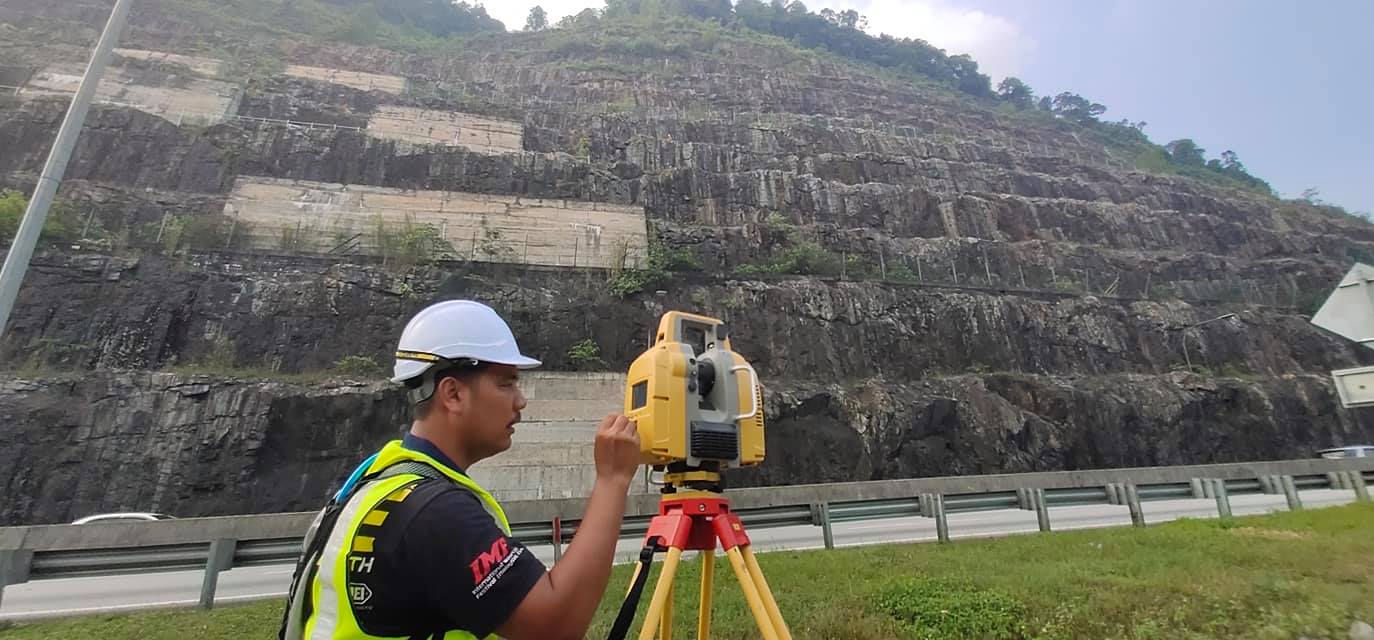
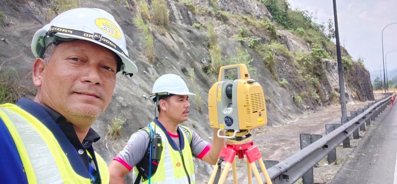
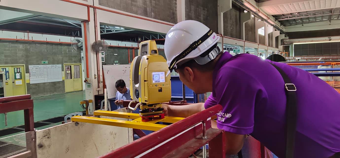
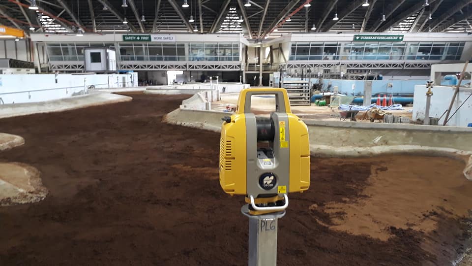
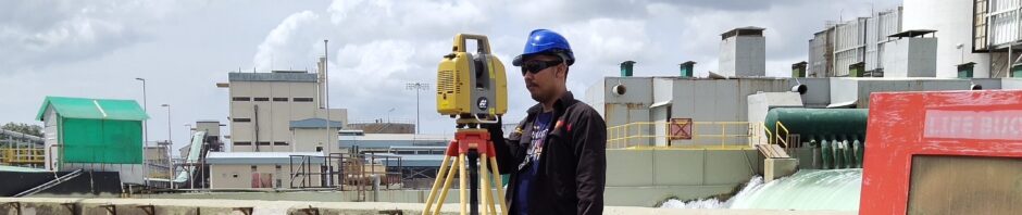
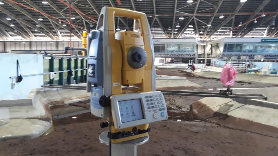
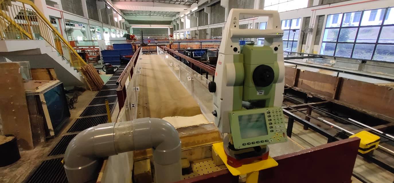
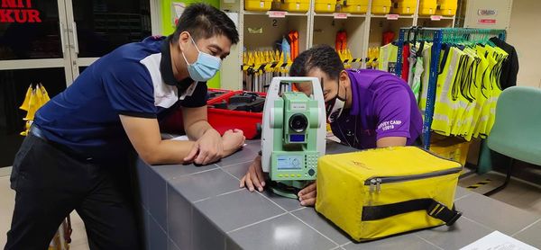
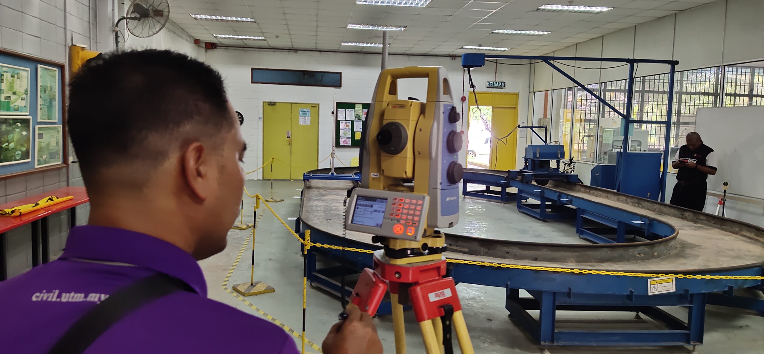
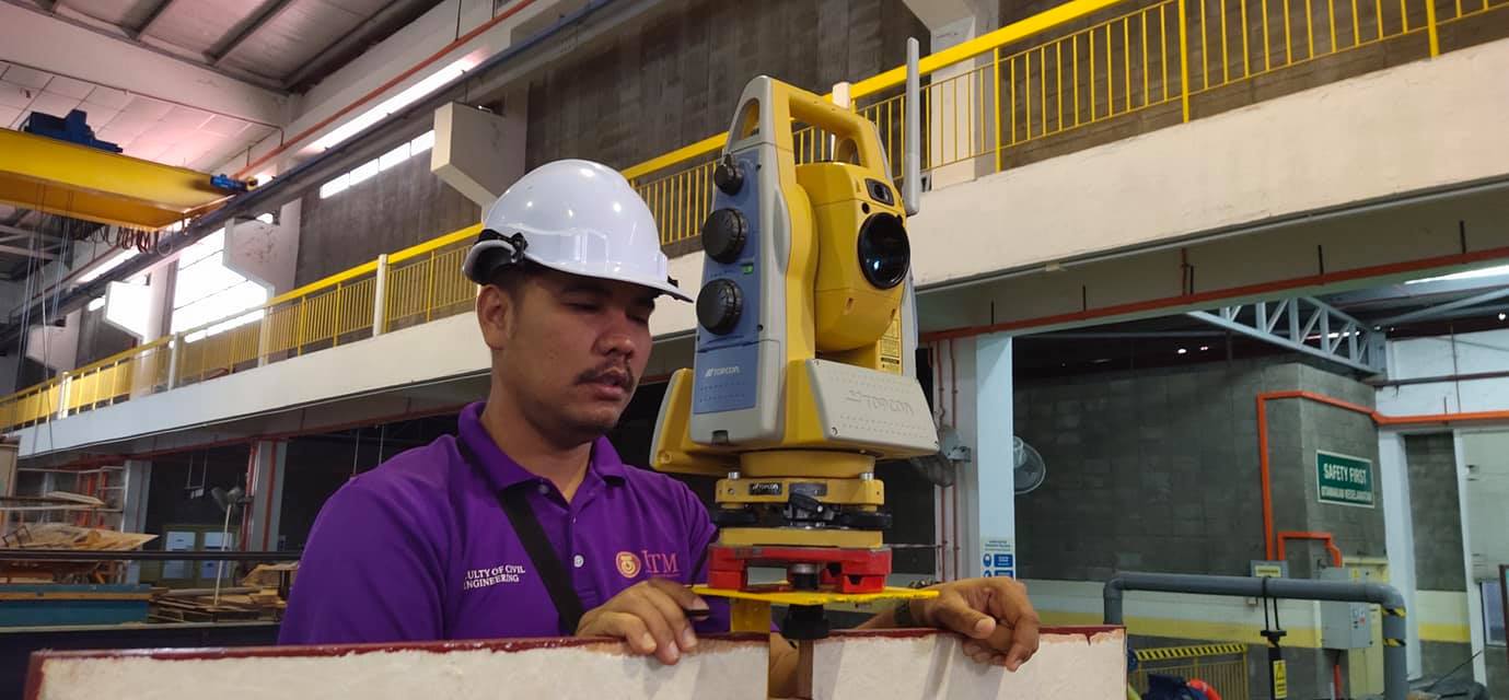
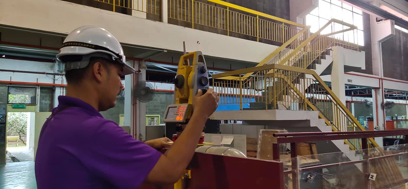
Robotic Total Station – Deformation Monitoring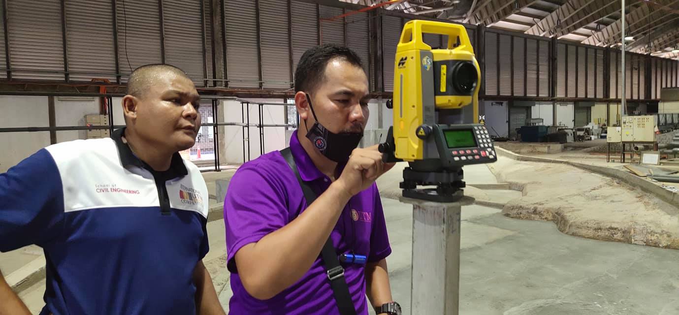


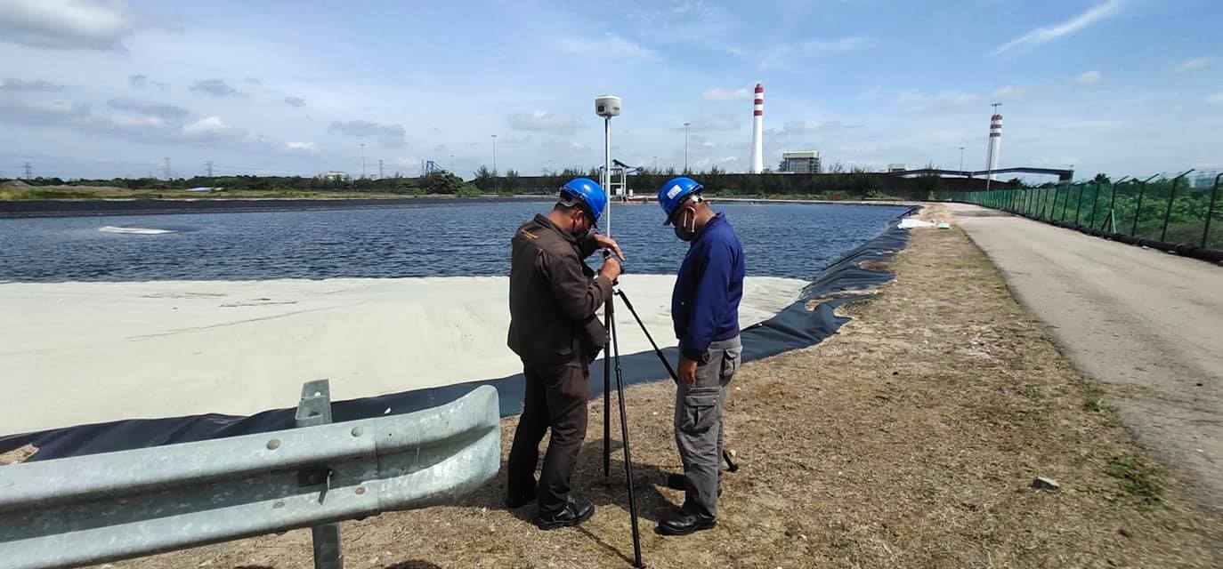
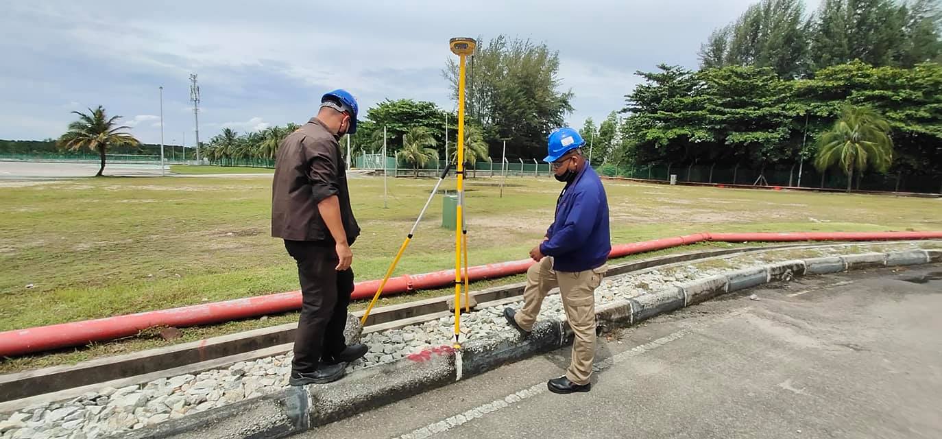
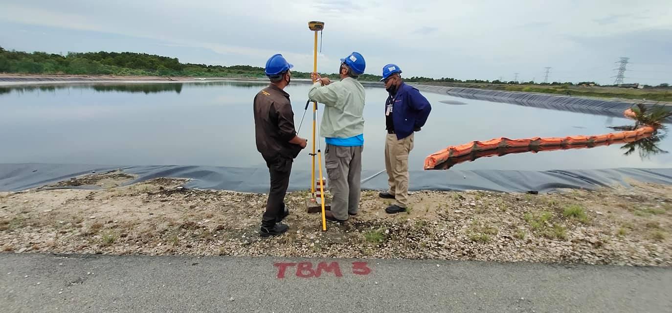
GNSS Surveying