Short Course:
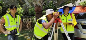
- Introduction to Engineering Survey
- Introduction From Field To Finish for Engineering Surveying
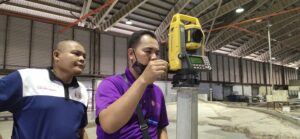
- Introduction to Total Station
- Introduction to Robotic Total Station
- Introduction to Volume Calculation
- Introduction to Surfer Software
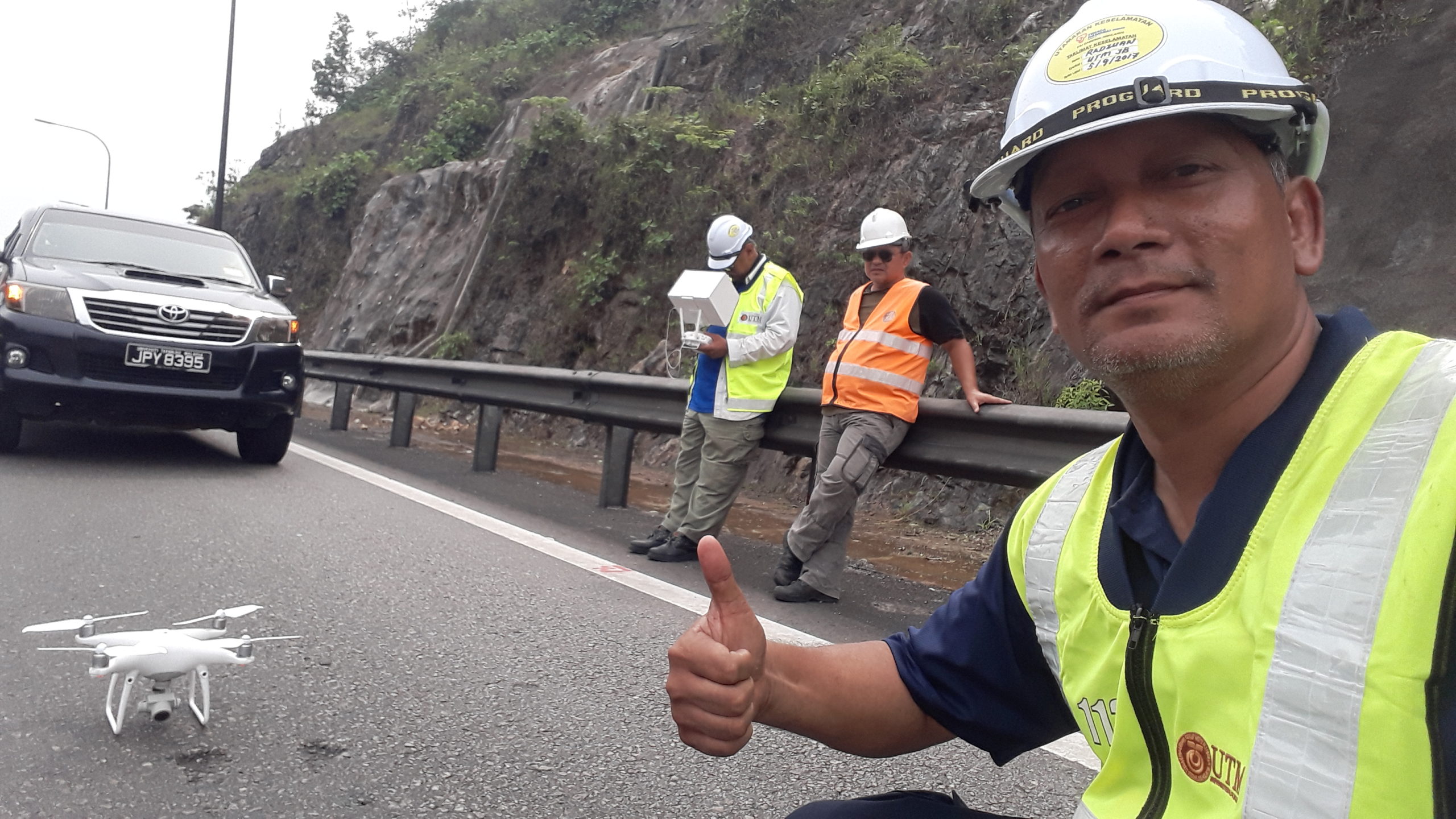
- Introduction to UAV/Drone Field Data Collection & Data Processing
- Introduction To Terrestrial Laser Scanner
- Introduction to GNSS (SOUTH G1, TOPCON HYPER II & HYPER V GNSS)
- Introduction Basic Hydrographic Survey for Engineer
- Introduction to Close Range Photogrammetry
- Introduction to HydroPro & Hydro Processing for SBES
- Introduction to Coordinate Transformation
Field Data Collection Services:
- Hydrographic Survey
- Tide Observation
- Topography/Detail Survey
- GNSS Survey
- Settlement Monitoring Survey
- Deformation Monitoring
- UAV Mapping

