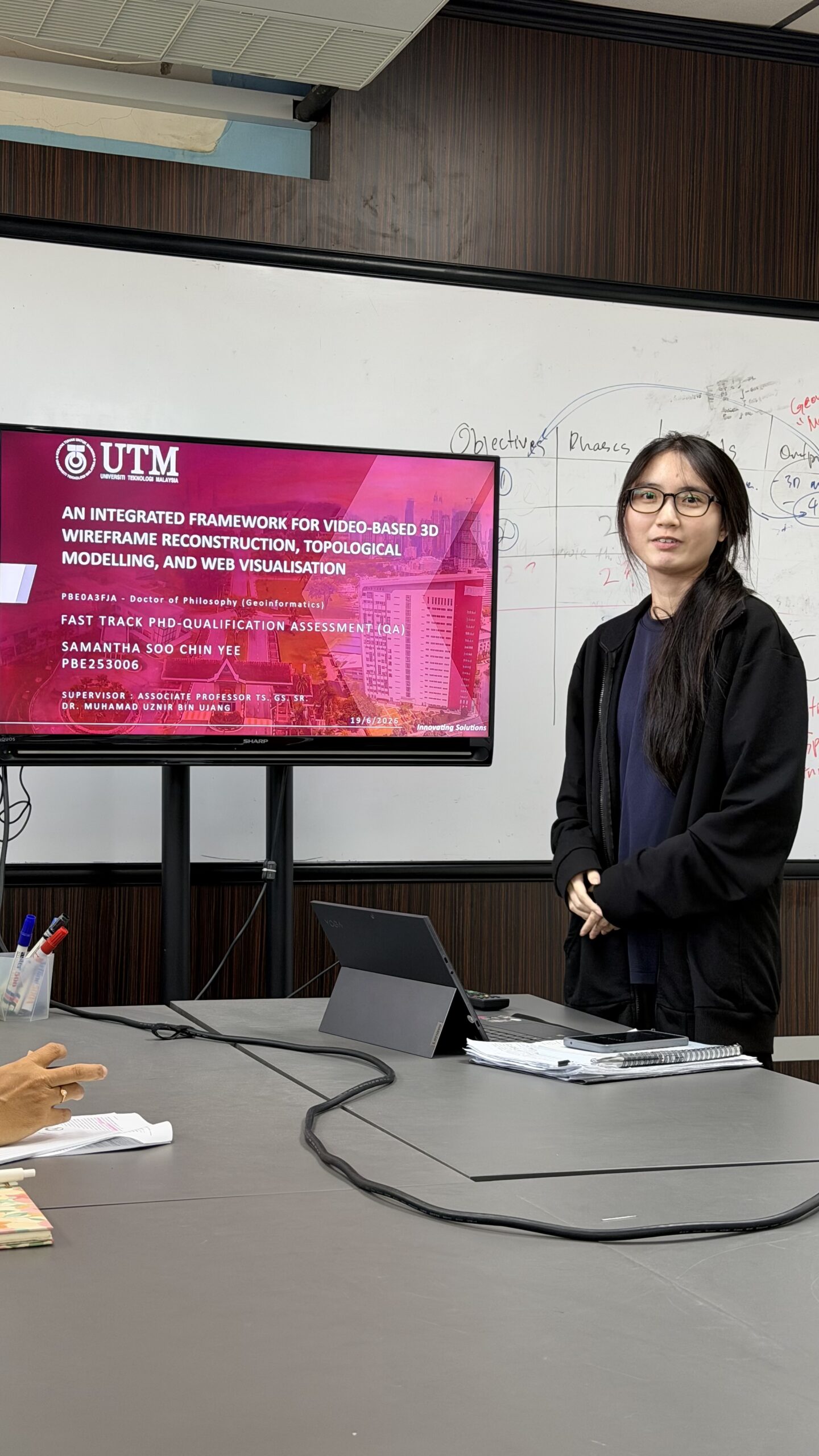
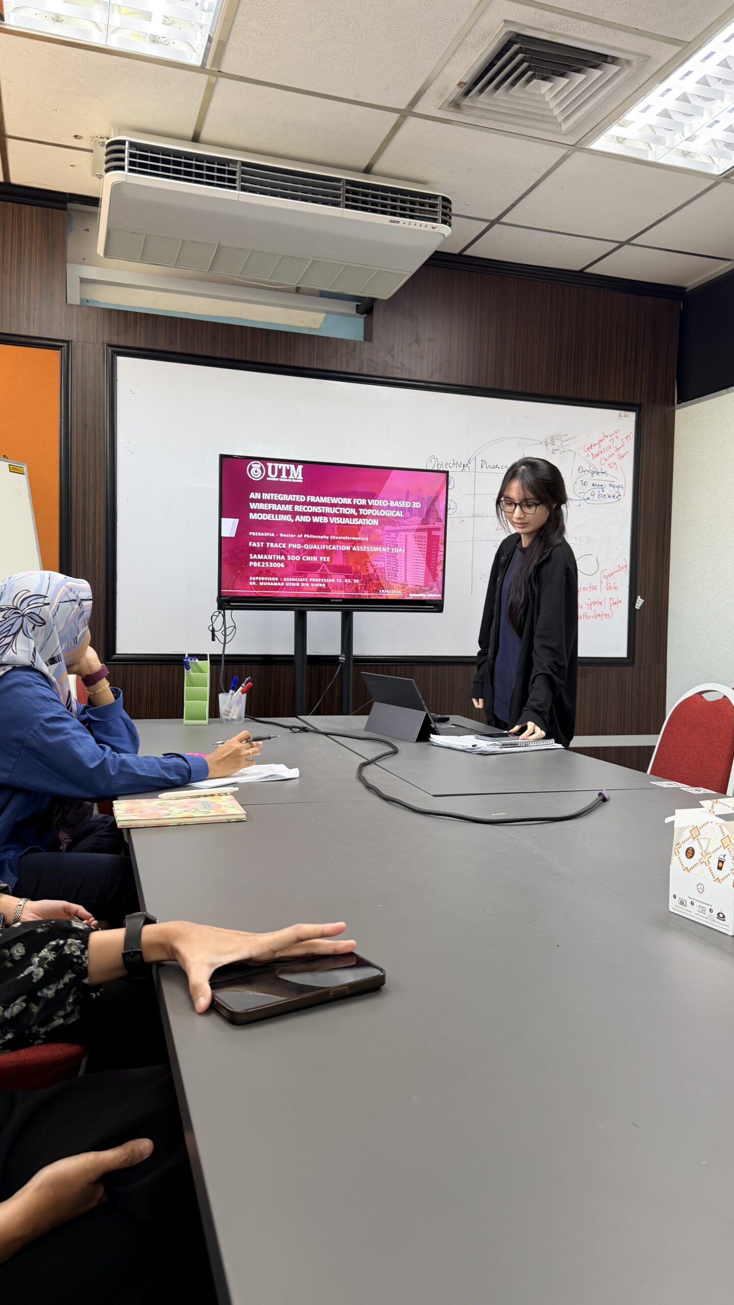
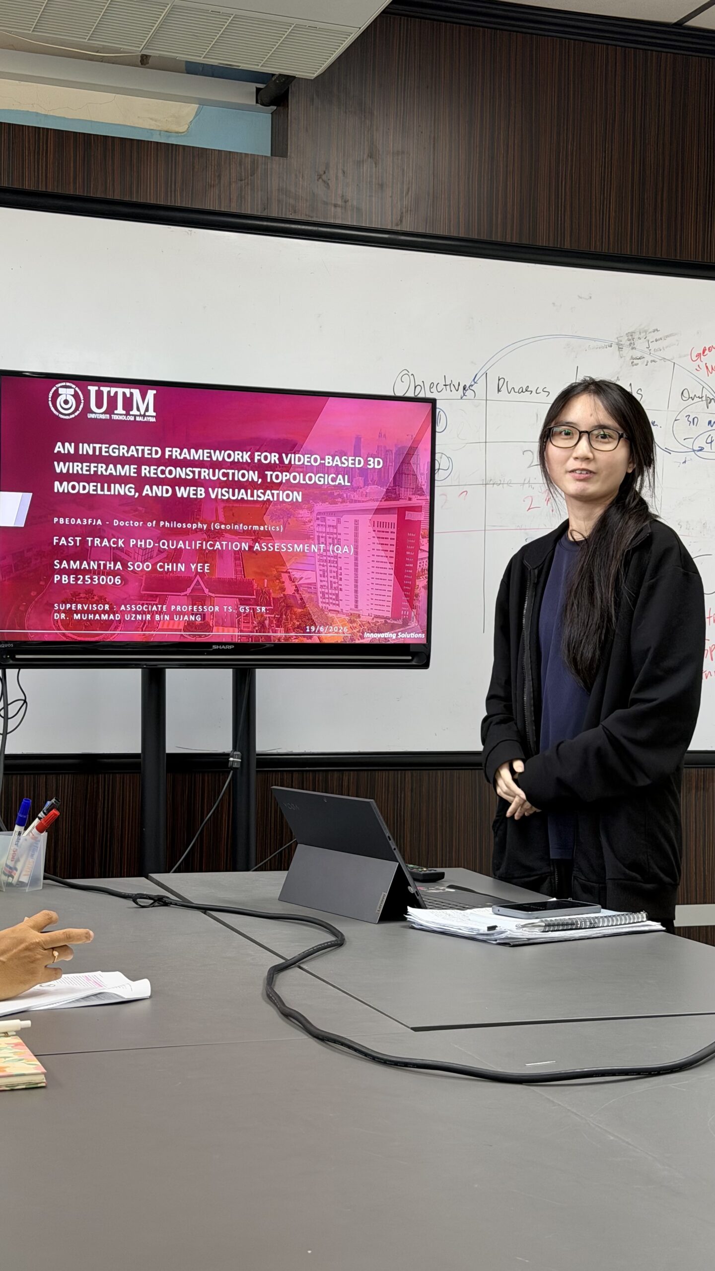
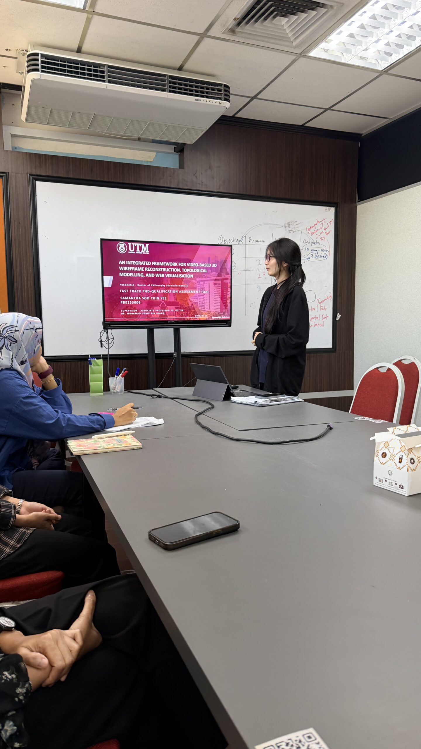
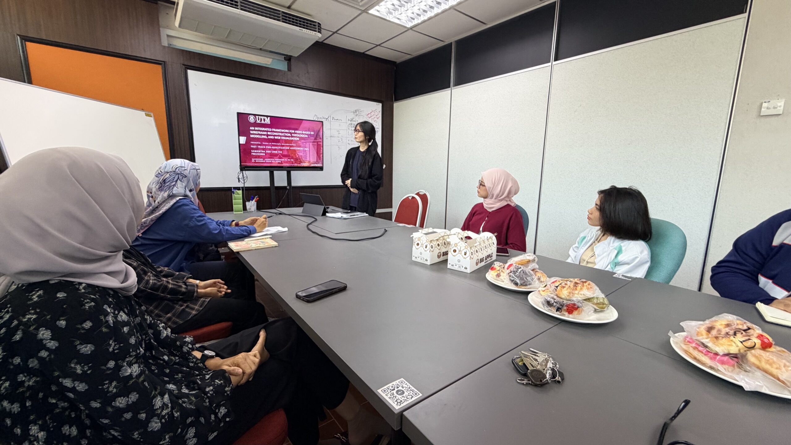
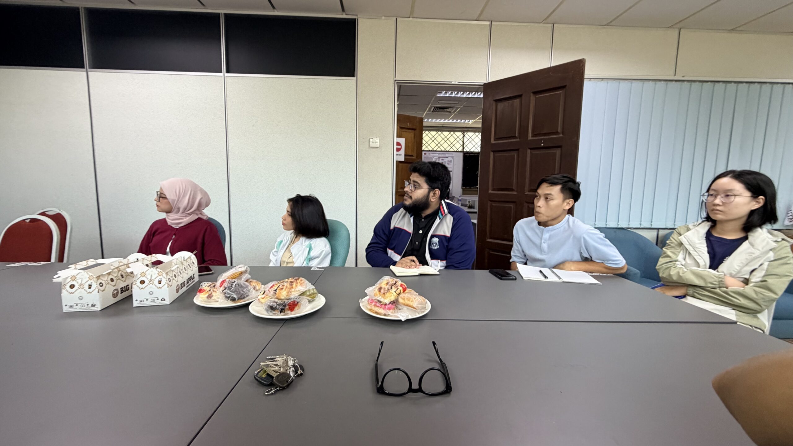
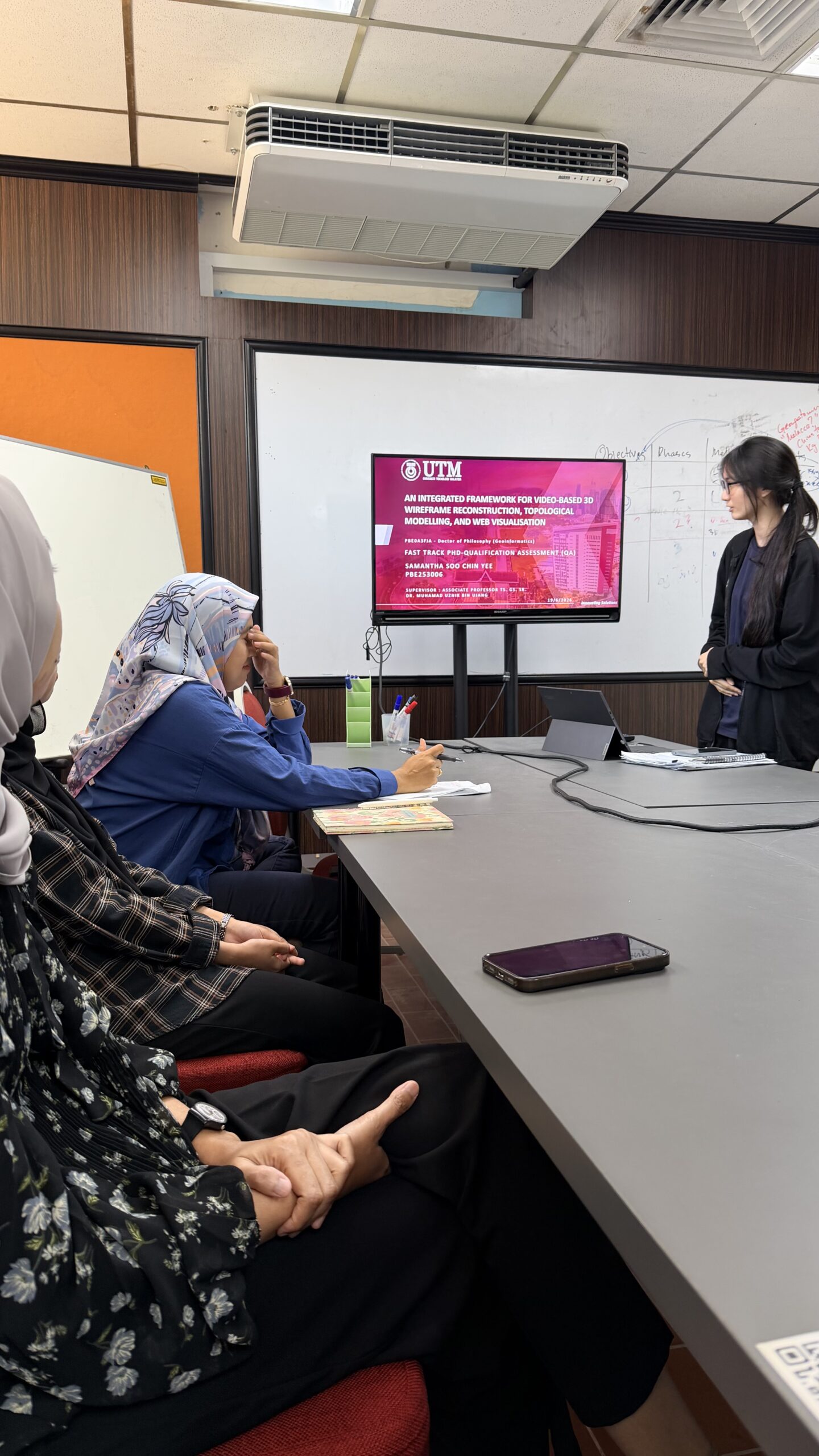
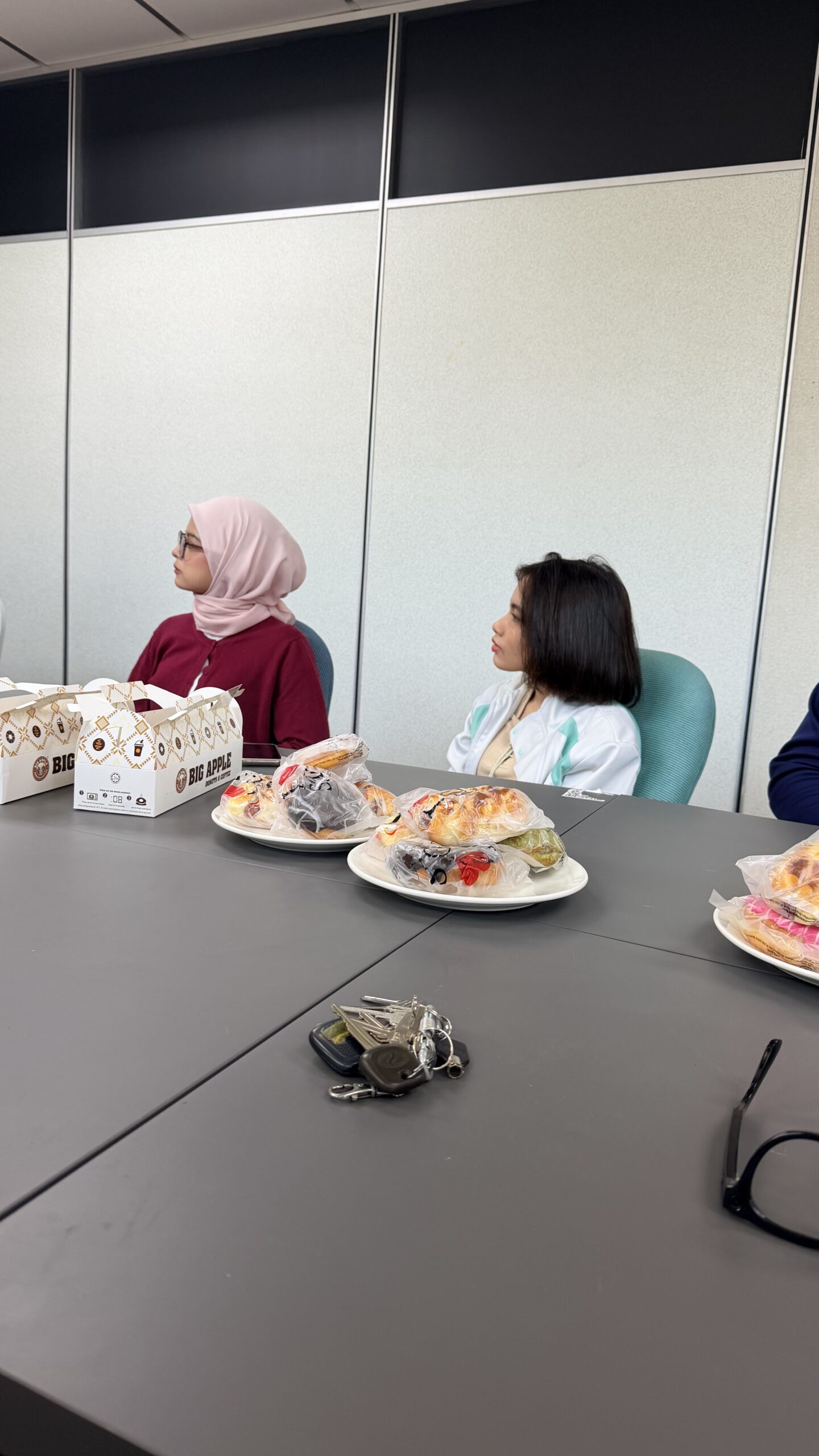
Behind every successful defense is a team that challenges, supports, and inspires. 🎓
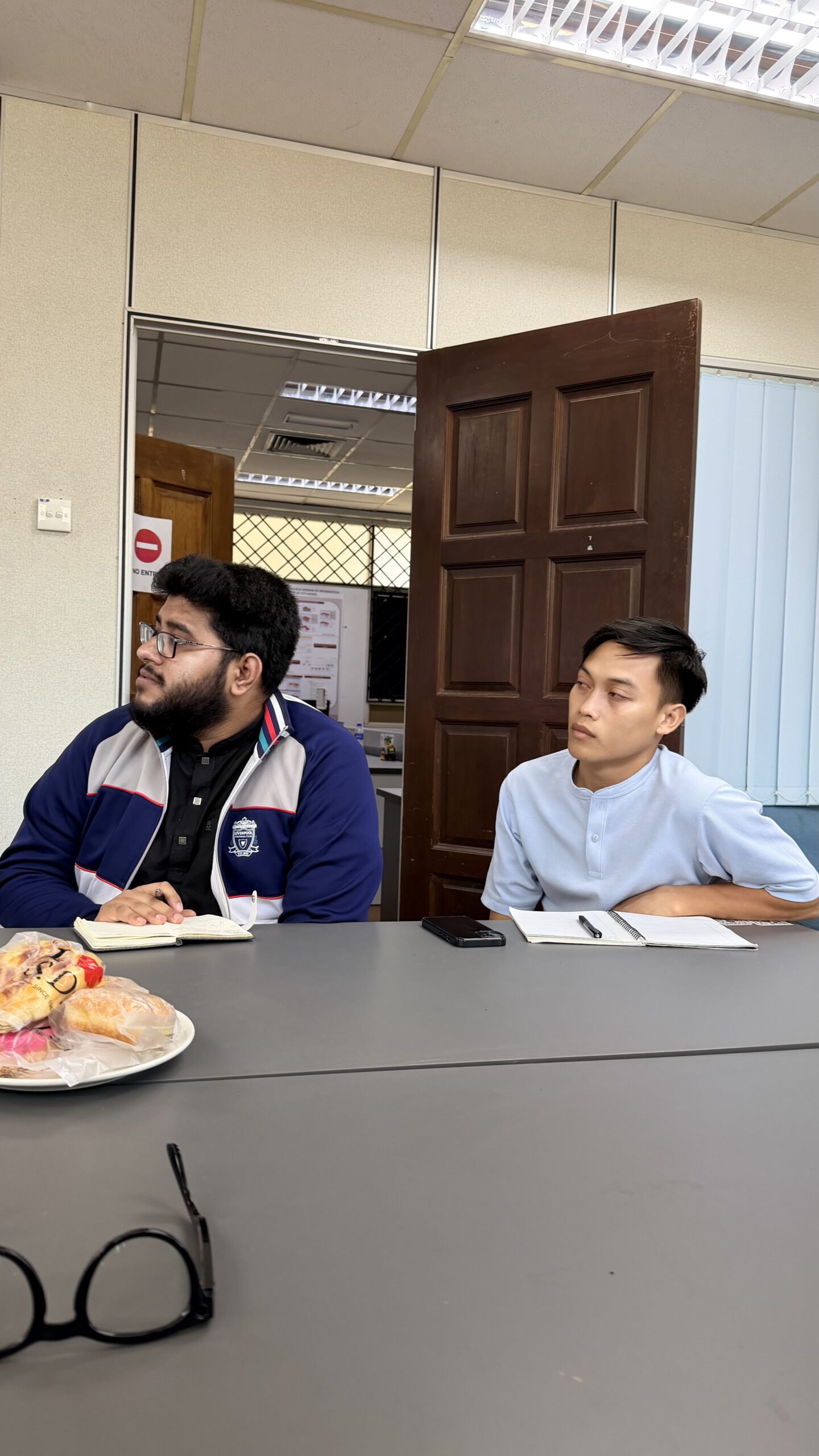
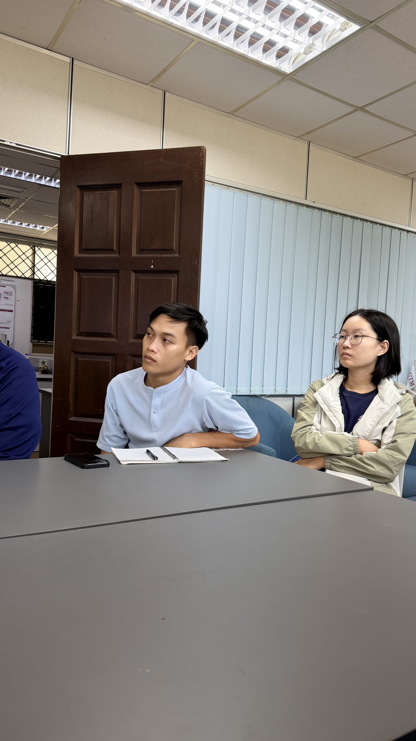
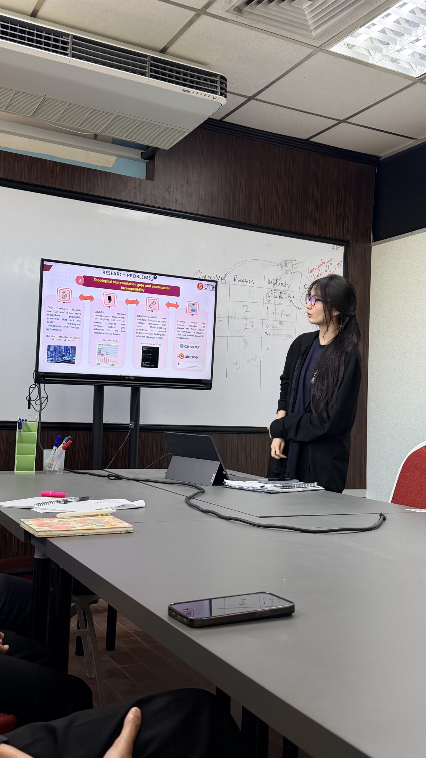
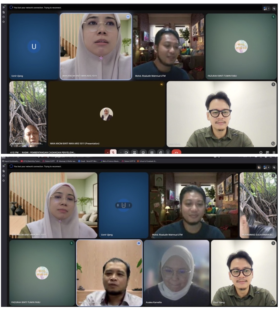
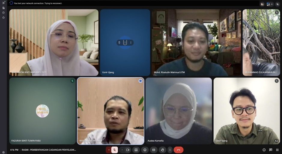
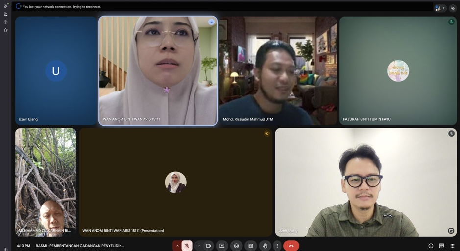
Today, our lab came together for Samantha’s mock presentation session, creating an opportunity to simulate the experience of a real thesis defense. Lab members actively engaged by asking insightful questions, sharing constructive feedback, and offering valuable suggestions to help refine her presentation and strengthen her responses.
Mock presentations are an essential part of the research journey. They build confidence, sharpen critical thinking, and prepare presenters to communicate their work with clarity and confidence.
A sincere thank you to everyone who participated and contributed to today’s session. Your encouragement and thoughtful feedback made the session truly meaningful. We wish Samantha all the best as she takes the next step toward her defense. Keep shining, Sam! 🌟
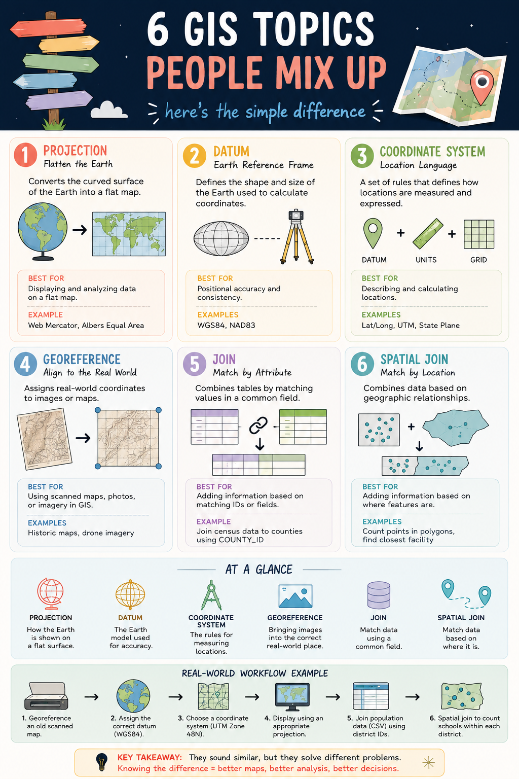
They are some of the most commonly used terms in GIS, yet they are also some of the most misunderstood. 🤔
While they may sound similar, each serves a completely different purpose in a geospatial workflow.
📍 Projection transforms the curved Earth into a flat map.
🌍 Datum defines the Earth model used for positioning.
📐 Coordinate System provides the framework for measuring locations.
🗺️ Georeferencing aligns maps and images to real-world coordinates.
🔗 Join connects data using a shared attribute or ID.
📌 Spatial Join connects data based on geographic location.
Understanding the difference between these concepts can save you from common GIS mistakes such as misplaced data, incorrect measurements, failed analyses, and inaccurate maps.
A simple way to remember them:
✅ Projection = How the Earth is displayed
✅ Datum = The Earth model behind the coordinates
✅ Coordinate System = How locations are measured
✅ Georeferencing = Putting data in the correct place
✅ Join = Match by attribute
✅ Spatial Join = Match by location
The better we understand these fundamentals, the more reliable our maps, analyses, and decisions become.
Which of these six concepts was the most confusing when you first started learning GIS?
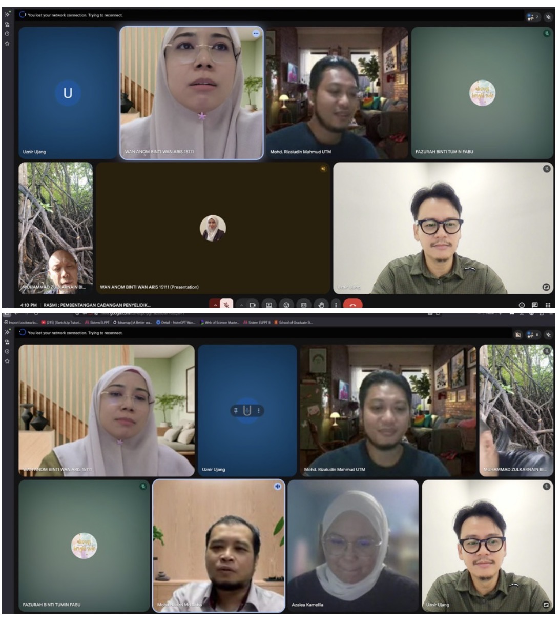
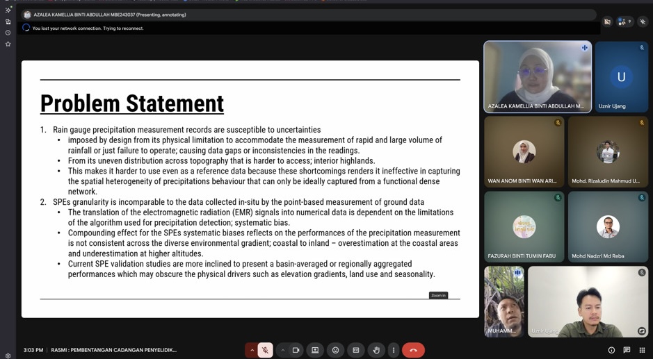
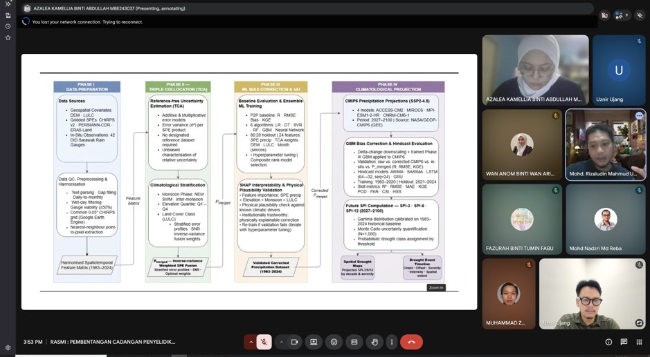
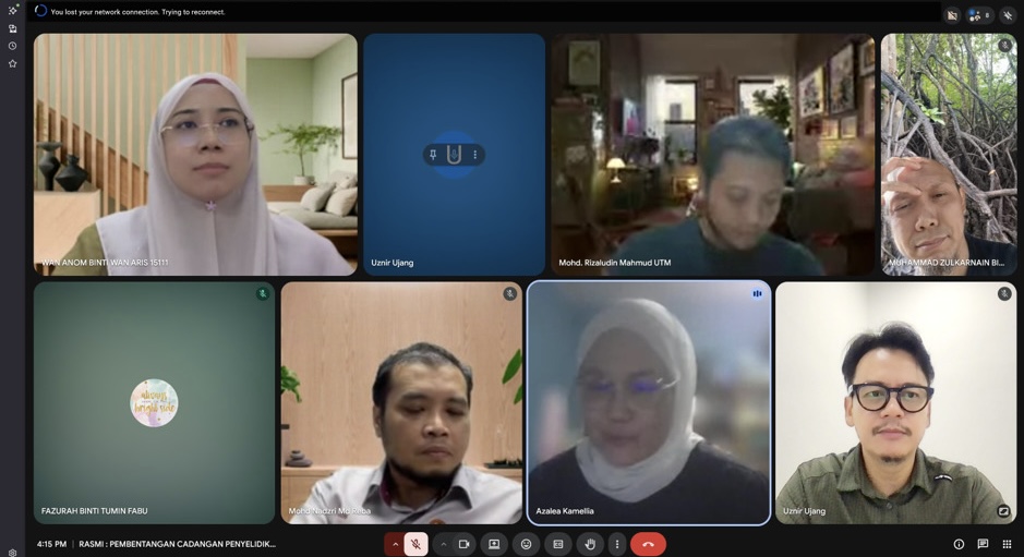
ANOTHER AFTERNOON, ANOTHER PROPOSAL DEFENCE SESSION 🎓
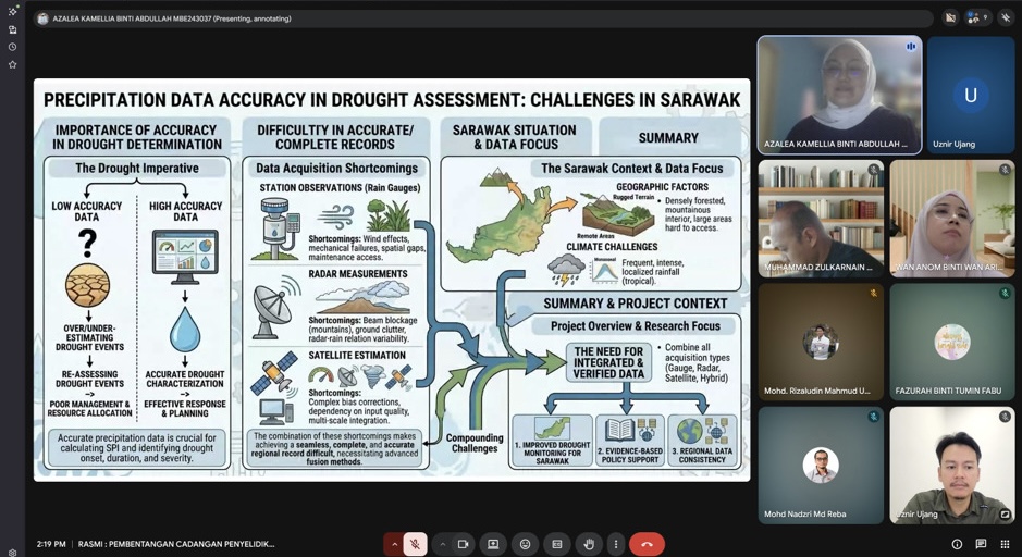
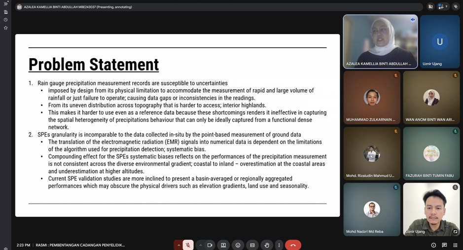
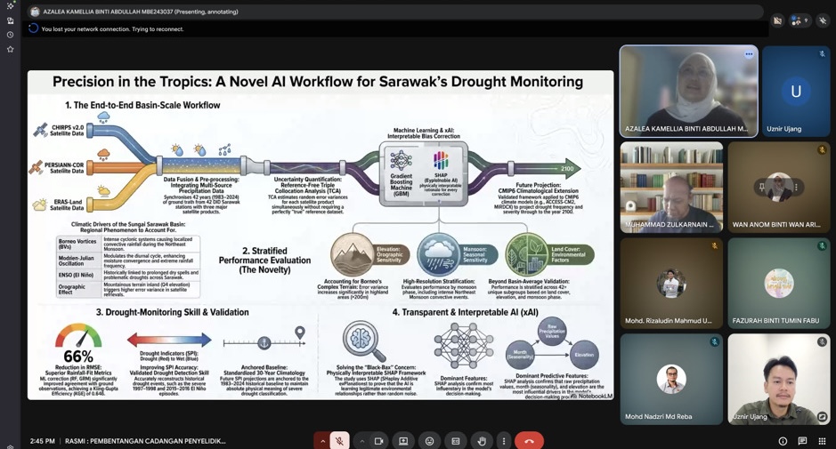
I had the opportunity to serve as the Chairman for a MPhil Proposal Defence session involving Azalea Kamellia Binti Abdullah, whose research focuses on:
“Systematic Calibration of Satellite Precipitation Estimates for Drought Measurement.”
One thing that made this session particularly interesting was that the candidate comes from industry. It is always encouraging to see professionals from industry pursuing advanced research and bringing real-world challenges into academia.
Research on satellite-based precipitation estimation and drought monitoring is becoming increasingly important, especially as climate variability and extreme weather events continue to impact water resources, agriculture, and environmental management. Bridging remote sensing technology with practical decision-making is an area with significant potential and impact.
The session was joined by:
Prof. Madya Sr Dr. Muhammad Zulkarnain Abdul Rahman
Dr. Mohd Rizaludin Mahmoud
Alhamdulillah, everything went smoothly. The candidate presented her work confidently, the discussions were constructive, and the feedback provided will undoubtedly help strengthen the research moving forward.
Congratulations to Azalea on reaching this important milestone. Wishing you all the best as you continue your MPhil journey.
One thing I always enjoy about these sessions is seeing the exchange of ideas between academia and industry. When both worlds come together, research becomes not only academically rigorous but also practically relevant.
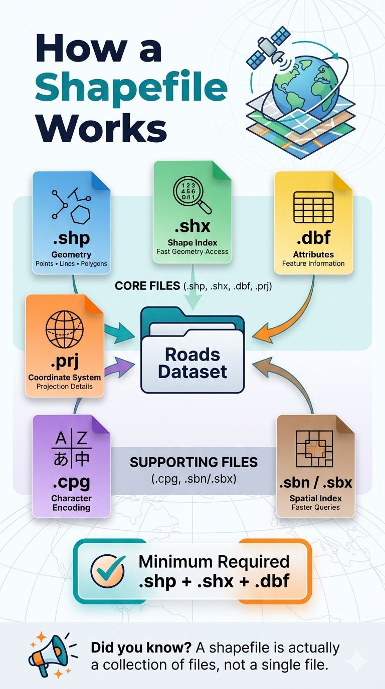
Many GIS beginners assume a shapefile is a single file. It is not. 👀
A shapefile is actually a collection of files that work together to store geographic data and its associated information.
📍 .shp stores the geometry (points, lines, and polygons) 📍 .shx provides an index for fast access to features 📍 .dbf stores the attribute data linked to each feature 📍 .prj defines the coordinate reference system (CRS) 📍 .cpg manages character encoding 📍 .sbn / .sbx improve spatial query performance
✅ Minimum files required for a valid shapefile dataset: .shp + .shx + .dbf
Without these three core files, most GIS software will not be able to properly read the dataset.
💡 Pro tip: When sharing shapefiles, always send the entire folder or compress all related files into a ZIP archive. Sending only the .shp file is one of the most common GIS mistakes.
Understanding these file components is a small detail that can prevent big headaches in your GIS workflow.
Have you ever received a shapefile that would not open because some files were missing?
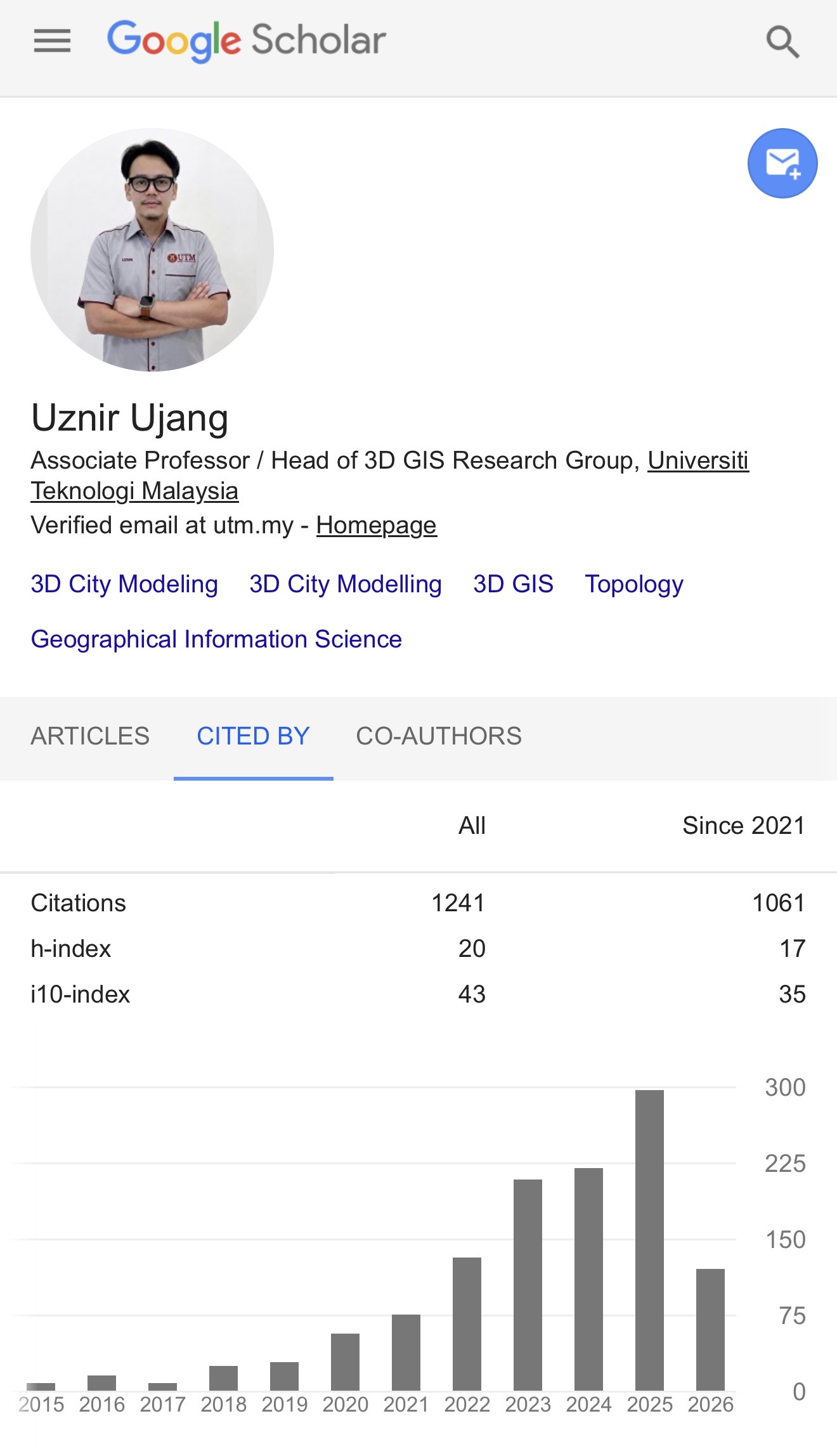
Today, while checking my Google Scholar profile, I noticed something that made me pause for a moment.
My H-index has reached 20.
To be honest, when I first started my academic journey, I never imagined I would get here. I believe at the moment I have the highest H-index in my department for GIS field of study.
Some people may say that an H-index of 20 is not particularly high. In certain disciplines, it might even be considered modest. But for me, and for the field that I work in, it is a meaningful milestone.
The research areas I have been involved in, we were once considered highly specialised and niche. The community was relatively small, and naturally, there were not many researchers working on similar topics.
Sometimes it felt like being a minority within an already small minority.
Publishing was not always easy. Finding collaborators was not always easy. Convincing others of the value of certain research directions was not always easy.
But we kept going.
Over the years, I have been fortunate to work with many wonderful students, colleagues, collaborators, and mentors. Every paper, citation, discussion, supervision session, conference presentation, and research project contributed to this journey.
So this milestone does not belong to me alone.
It belongs to everyone who has contributed, collaborated, cited our work, challenged our ideas, and helped shape the research community that exists today.
What makes me happiest is not the number itself.
It is seeing how much the community has grown.
Topics that once attracted only a handful of researchers are now receiving increasing attention. New ideas are emerging, new collaborations are being formed, and the research landscape has become far more vibrant and exciting than when I first entered the field.
I am grateful to have witnessed that growth and even more grateful to have played a small part in it.
Thank you to everyone who has been part of this journey.
Now, back to work. There are still many interesting questions waiting to be explored.
Working from home (WFH) definitely has its advantages.
Sometimes, it gives the quiet space needed to focus deeply on research, writing, analysis, and all the “deep work” that usually requires uninterrupted concentration.
But at the same time, there is also the other side of academic life.
Sometimes students are stuck.
Sometimes they need guidance, reassurance, or just someone to discuss their research problems with. And honestly, it is hard to just leave them struggling alone.
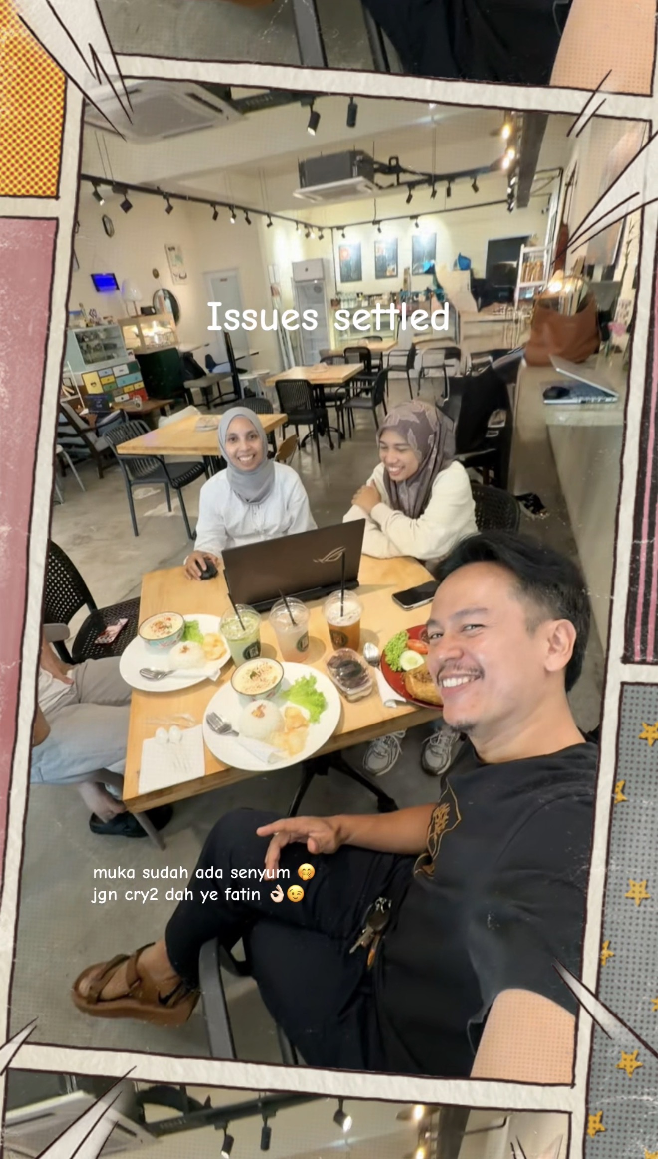
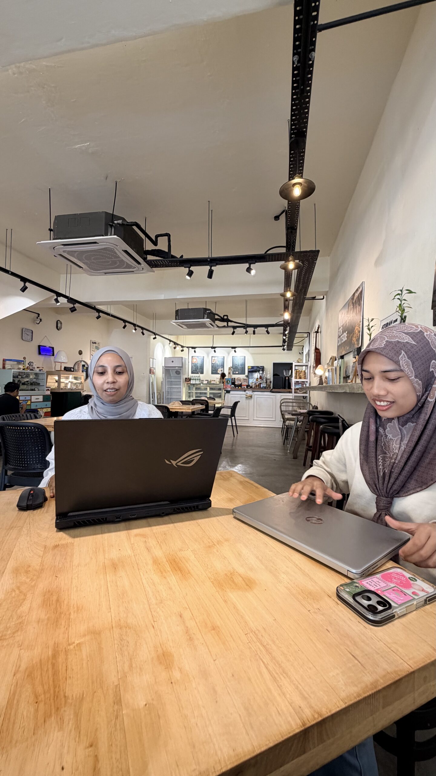
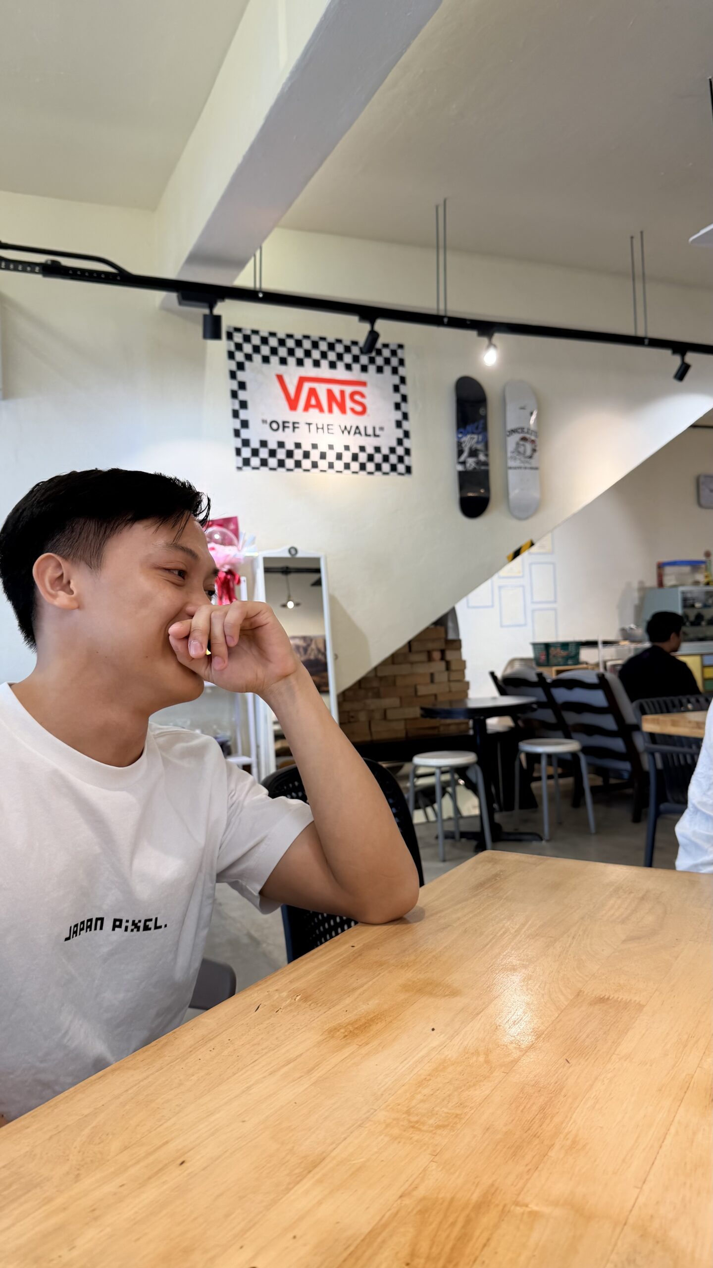
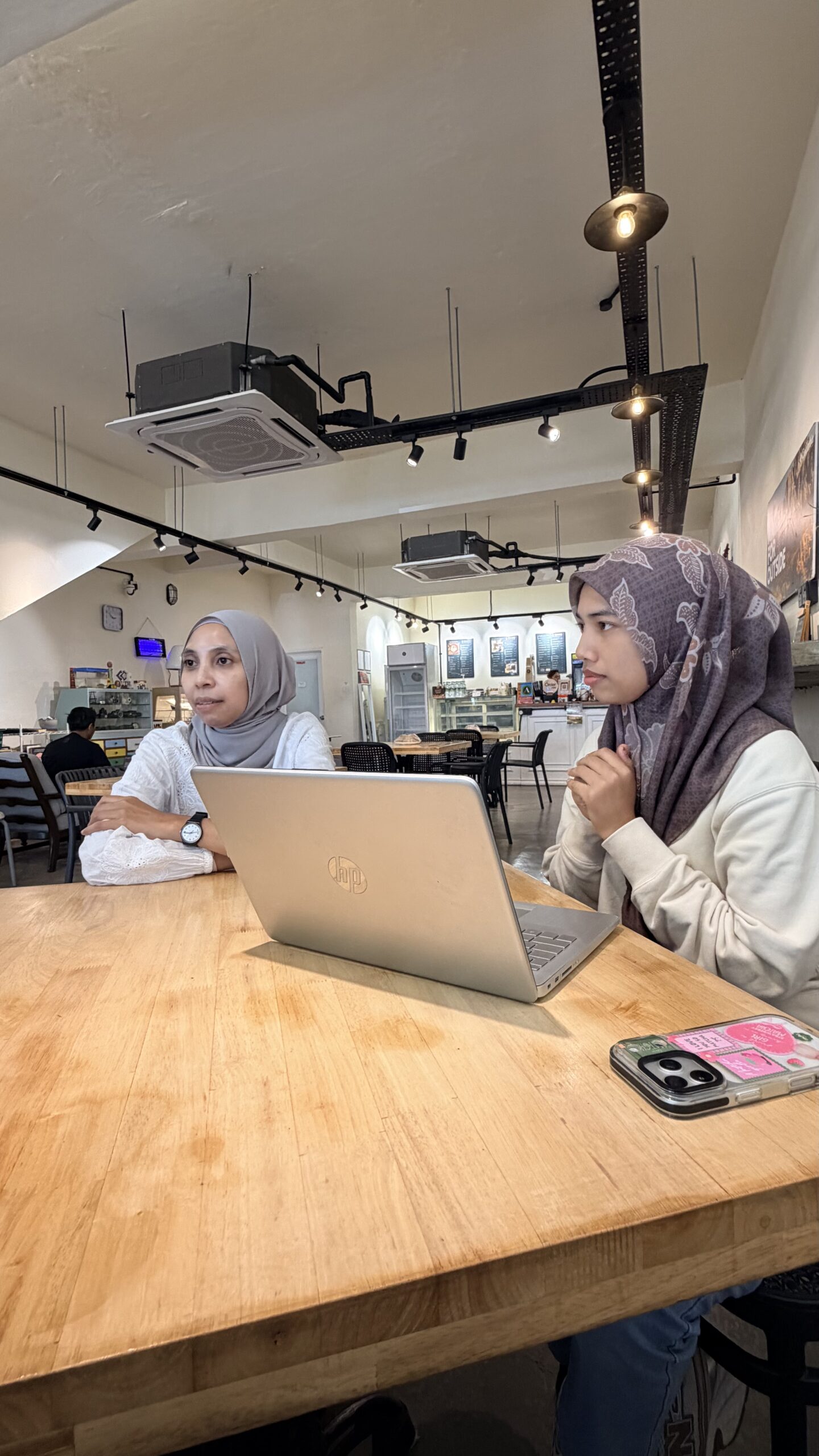
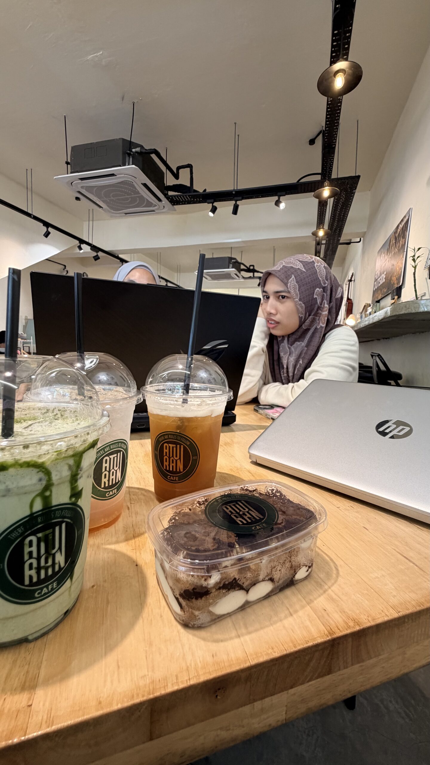
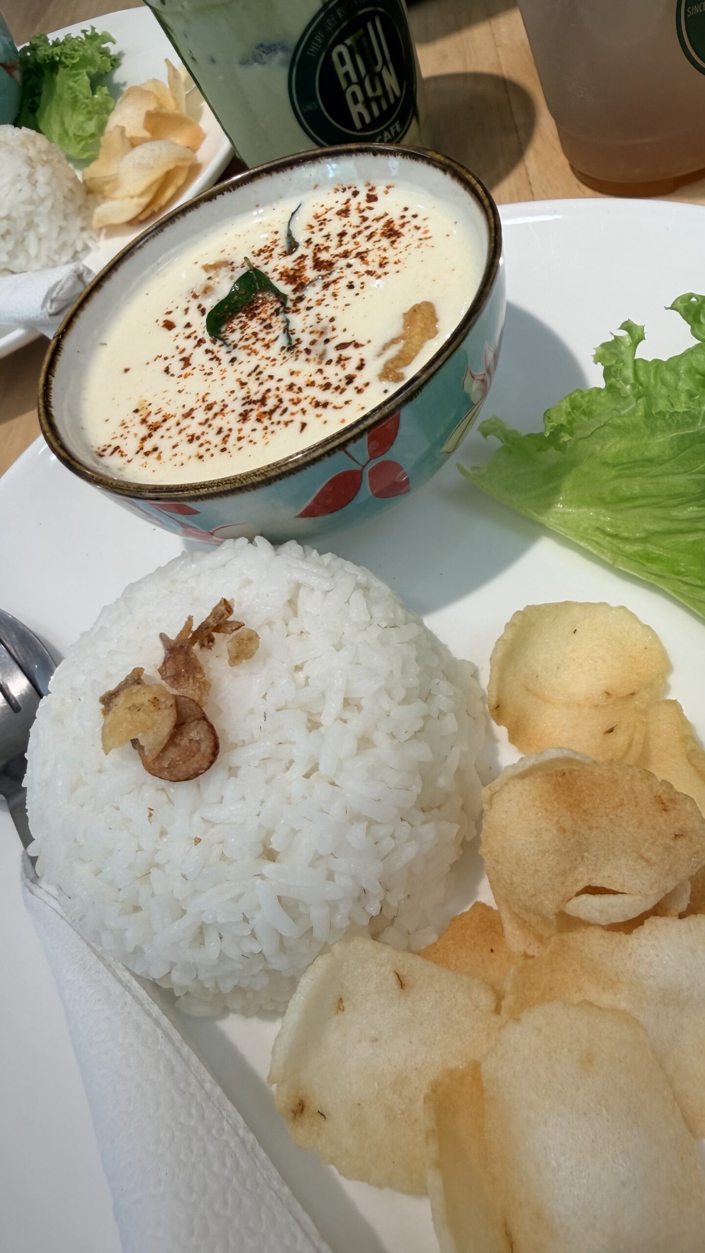
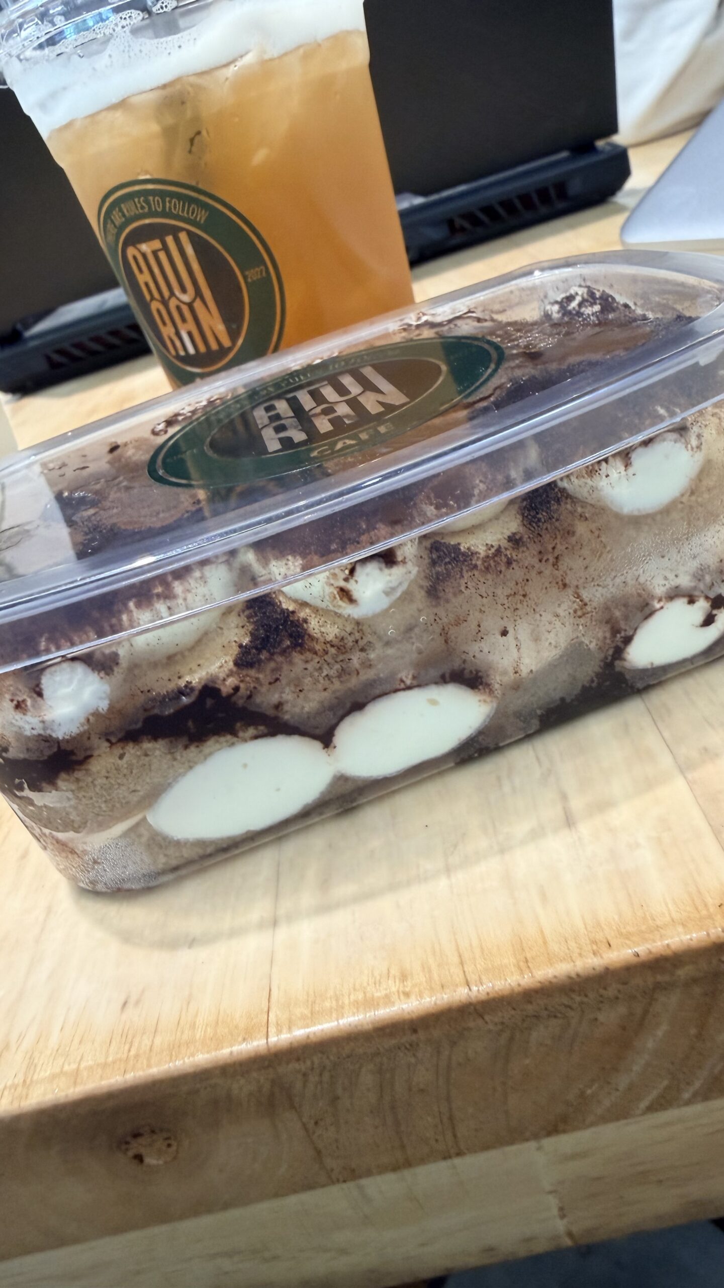
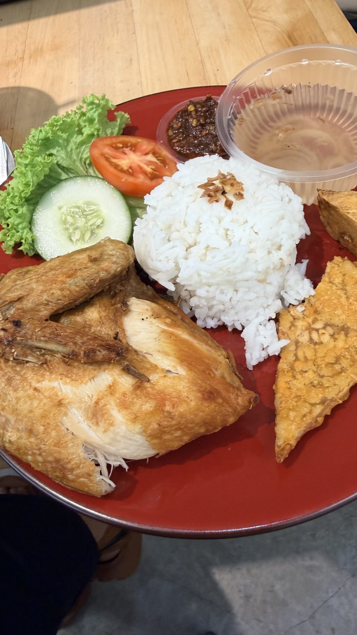
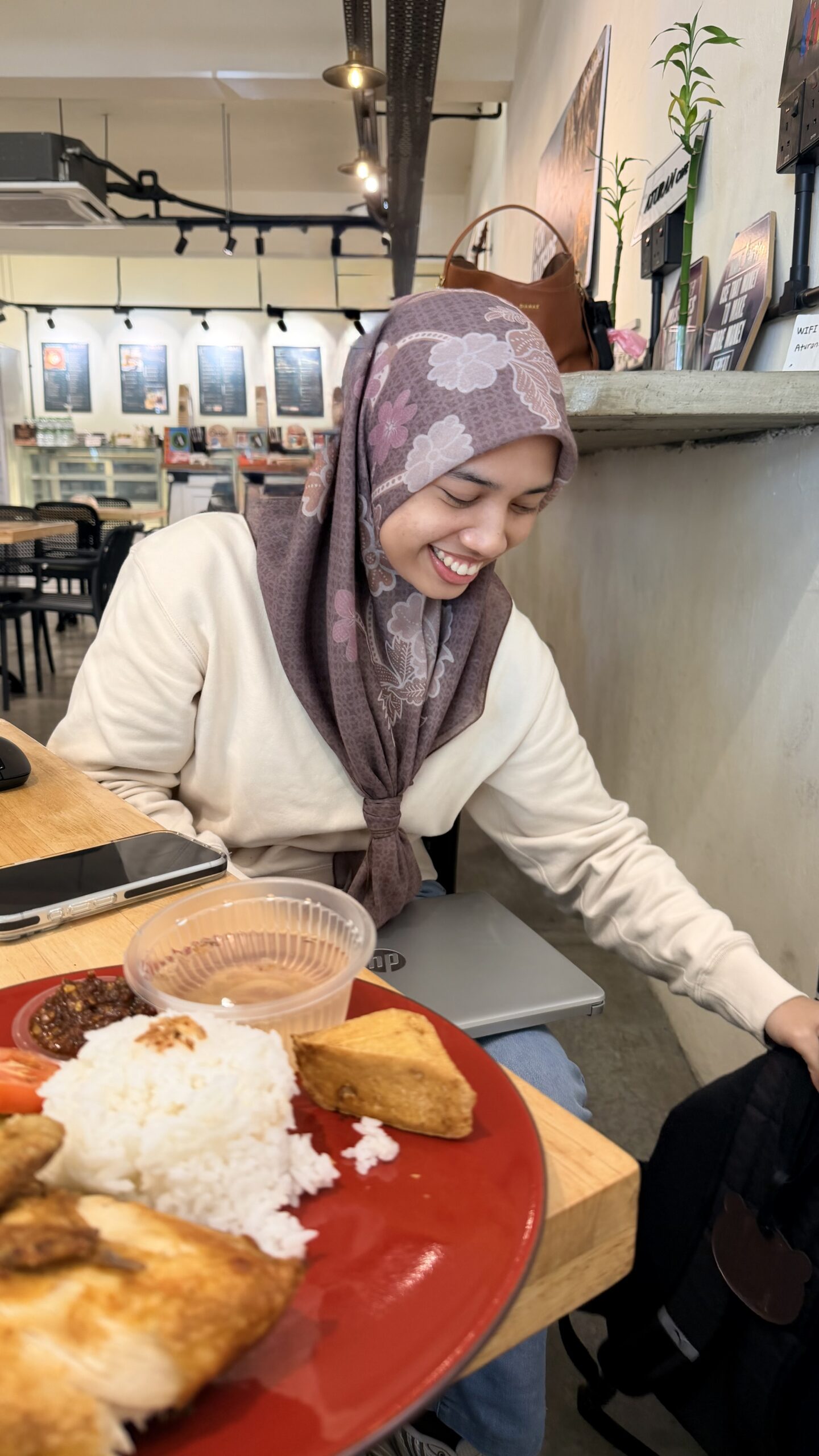
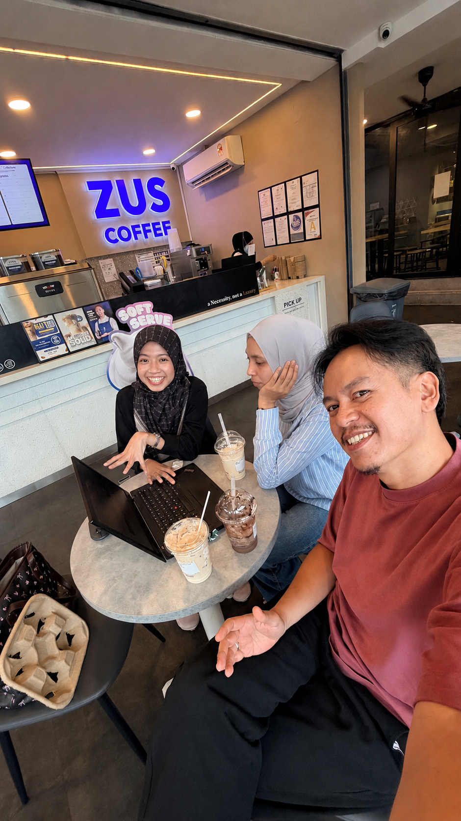
So today, instead of staying at home, we met at a coffee shop outside campus for a quick research discussion session.
In the end, the issues were settled, the students were smiling again, and everyone got to eat good food too.
Academic life is not only about papers and deadlines.
Sometimes it is simply about being present when students need help the most.
Sometimes, the best research discussions happen over coffee in campus cafés.
Today was supposed to be just a simple lunch outing by the sea. But halfway through the day, an idea suddenly came to mind. One of those moments where a research direction just clicks unexpectedly.
So we made our way back to UTM and had a quick catch-up session at ZUS Coffee with my postgraduate student, Amirah.
As researchers and supervisors, sometimes when inspiration comes, you just cannot wait too long to share it. Ideas are fragile. If not discussed early, they might disappear just as quickly as they arrive.
What I appreciate most is seeing the excitement and curiosity from students when discussing new possibilities, new methods, and future research directions. Those small moments remind us why academic mentoring matters.
Research is not only about publications, grants, or conferences. Sometimes it is simply about conversations, guidance, encouragement, and helping students believe they can go further than they think.
You are doing well, Amirah. Keep going. One step at a time.
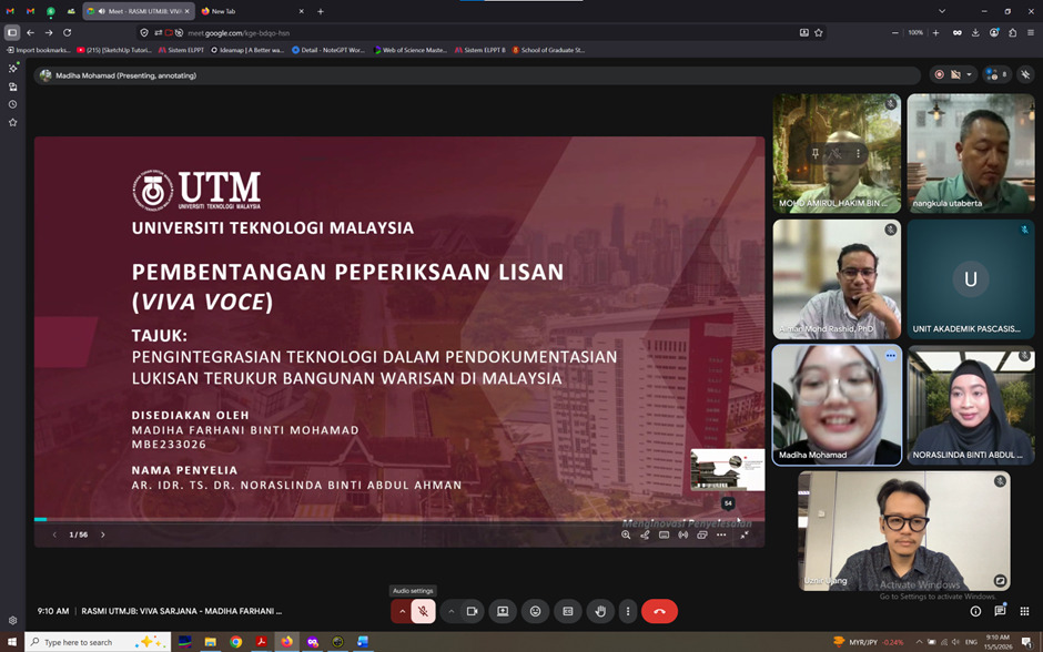
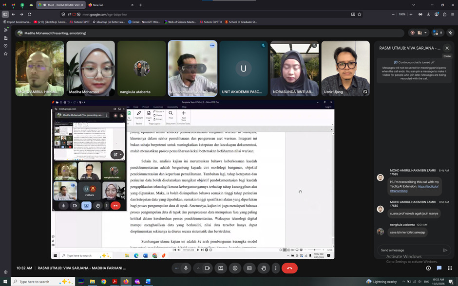
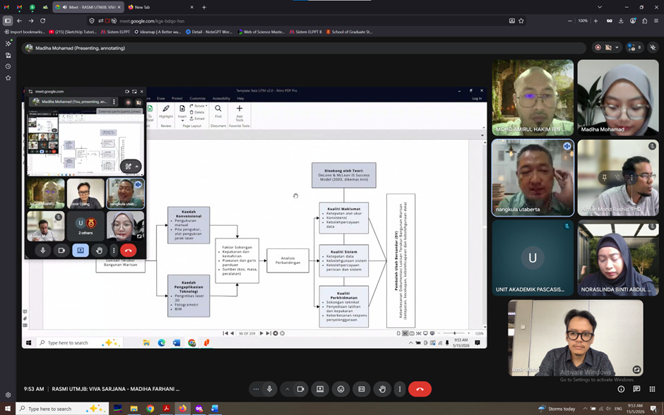
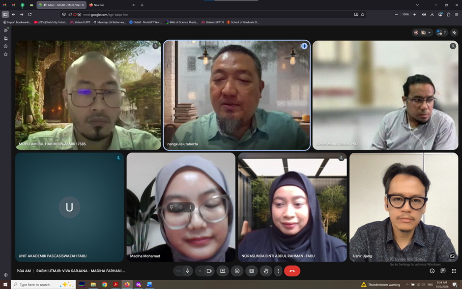
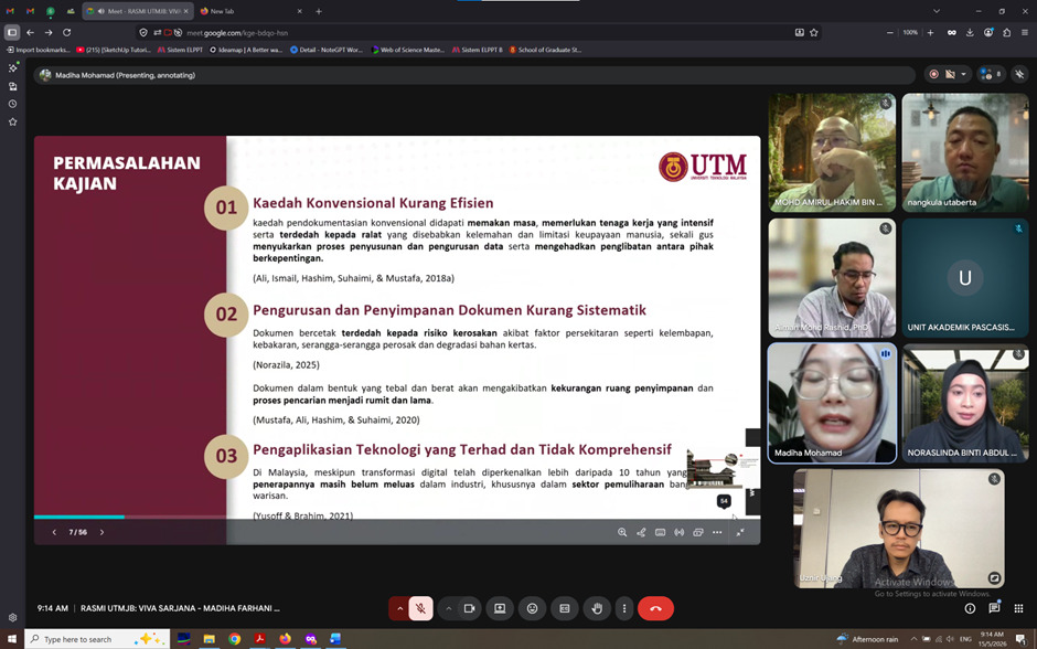
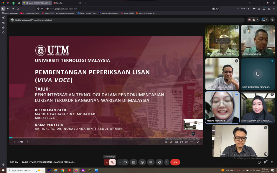
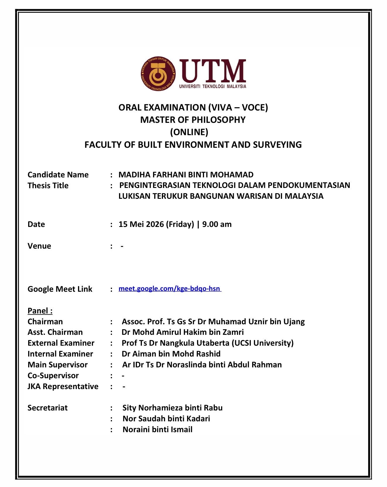
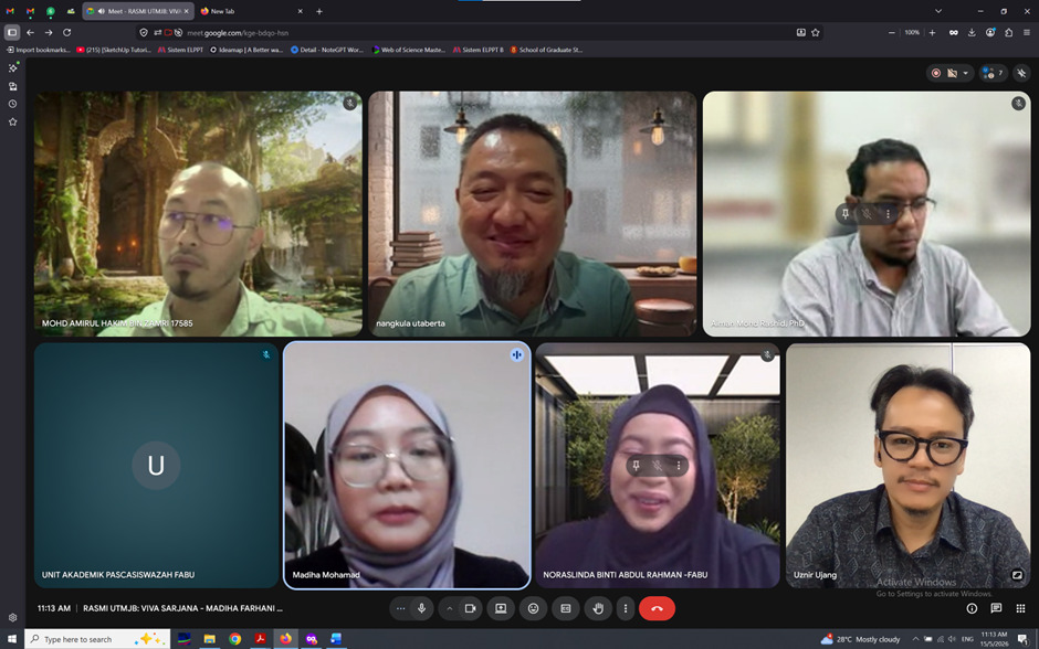
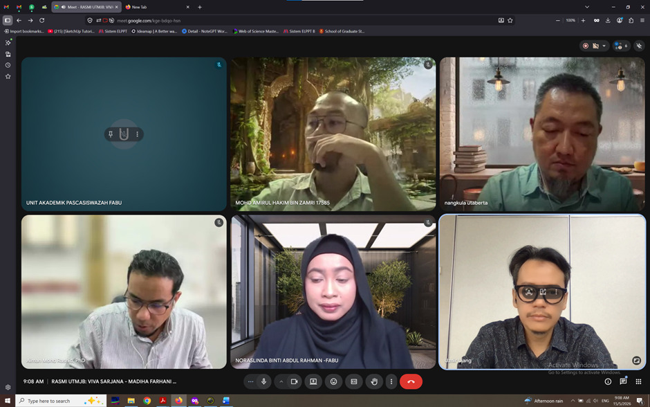
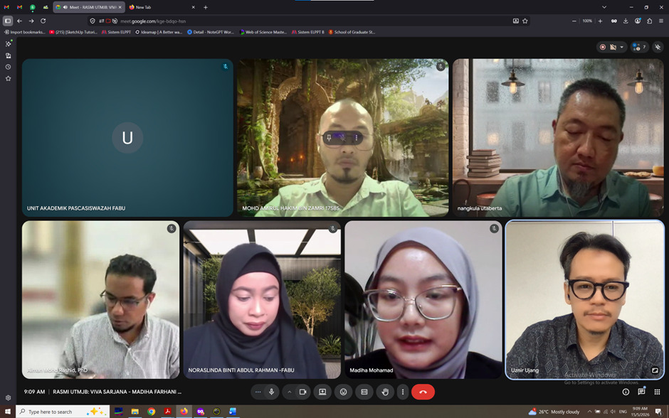
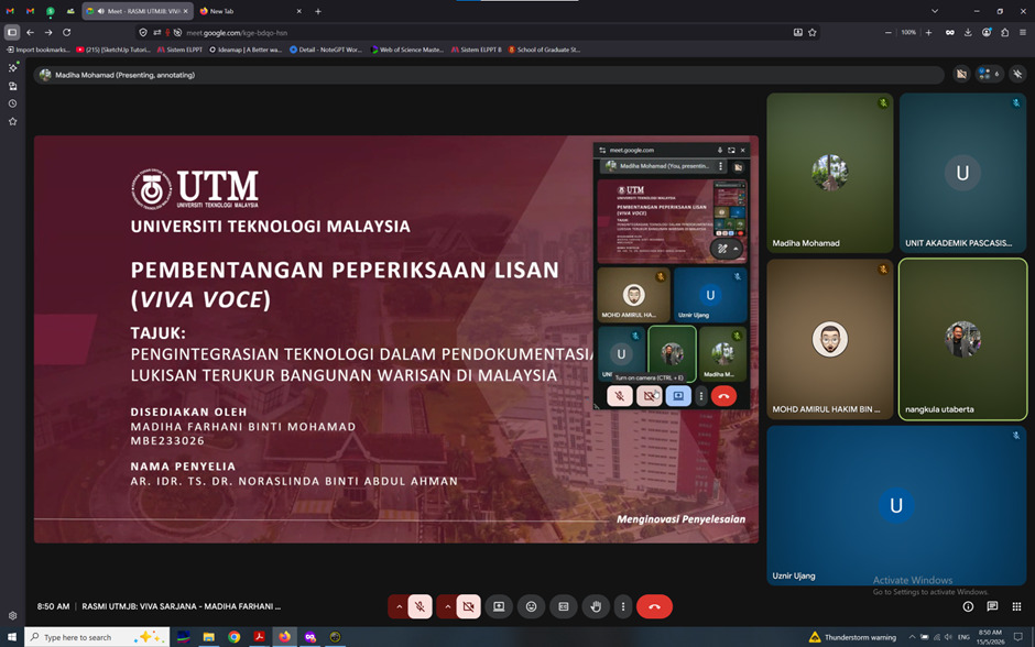
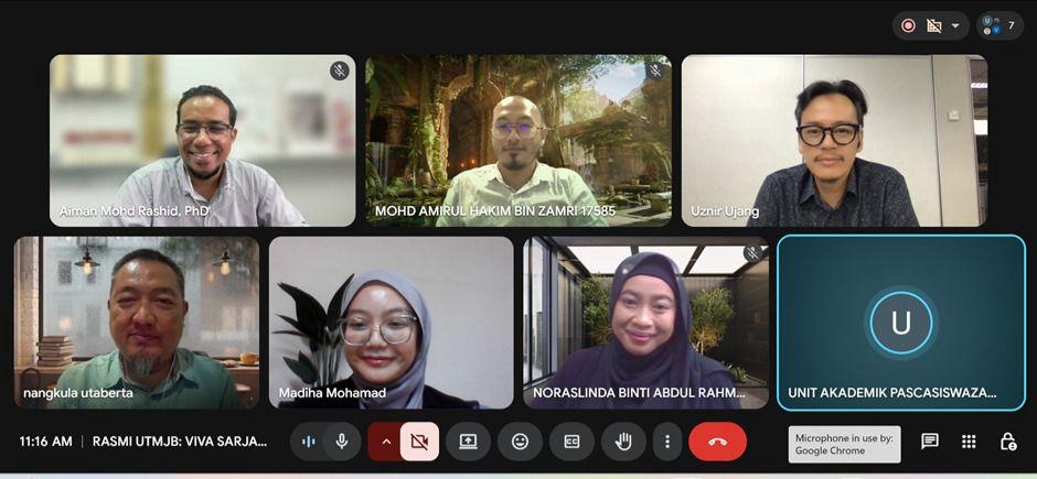
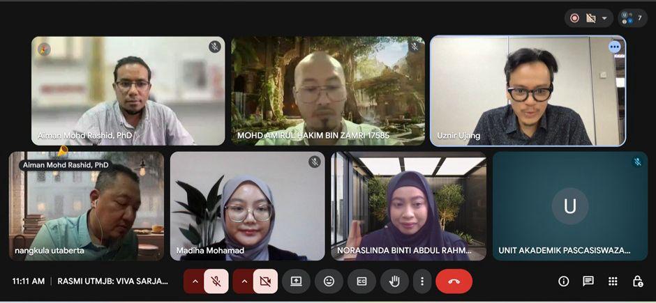
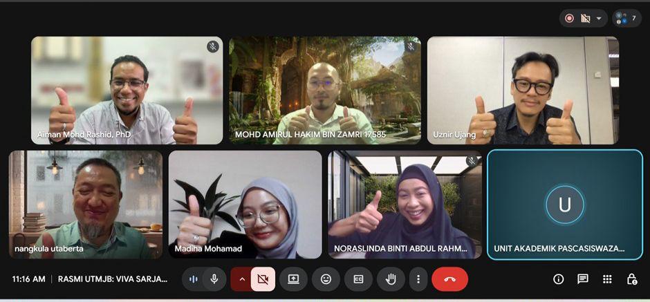
Had the opportunity to serve as the Chairman for a Master of Philosophy viva voce session at the Faculty of Built Environment and Surveying, UTM.
The research by Madiha Farhani binti Mohamad focuses on the integration of technology in the documentation of heritage building measured drawings in Malaysia.
What makes this work particularly interesting is the use of LiDAR and photogrammetry technologies within the architectural and measured drawing field. These technologies are becoming increasingly important for capturing accurate spatial information, preserving heritage assets, and improving documentation efficiency compared to traditional manual approaches.
The integration of geospatial technologies with architectural conservation is something that will continue to grow in importance, especially for digital heritage preservation and future smart documentation workflows.
I would also like to acknowledge the panel involved in today’s examination session:
External Examiner: Prof Ts Dr Nangkula Utaberta (UCSI University)
Internal Examiner: Dr Aiman bin Mohd Rashid
Main Supervisor: Ar IDr Ts Dr Noraslinda binti Abdul Rahman
Assistant Chairman: Dr Mohd Amirul Hakim bin Zamri
Congratulations to the candidate and all involved in making the session successful. Wishing the candidate all the best for the next academic journey ahead.
ANOTHER OPPORTUNITY TO SERVE THE ACADEMIC COMMUNITY
Received an invitation to join the International Board of Reviewers for the International Conference on Information Management and Technology (ICIMTech) 2026.
Peer review is often a quiet responsibility. It requires time, careful reading and fair judgment, but it plays an important role in maintaining the quality of academic work. Being part of this process is always a reminder that research is not only about publishing, but also about contributing to the broader community.
Looking forward to supporting the review process and contributing to the advancement of research in information systems and technology.
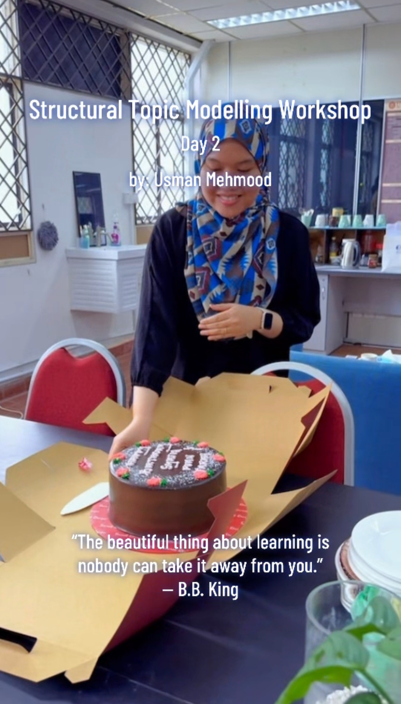
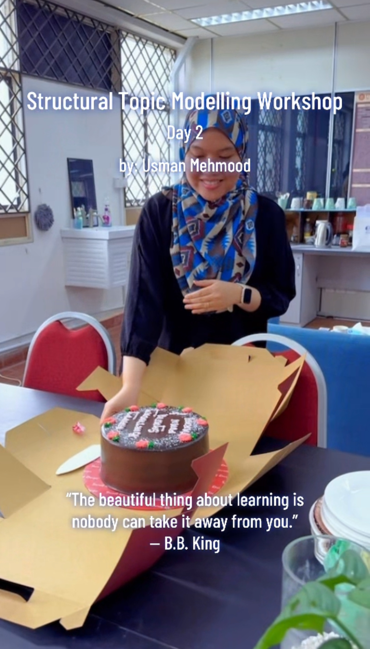
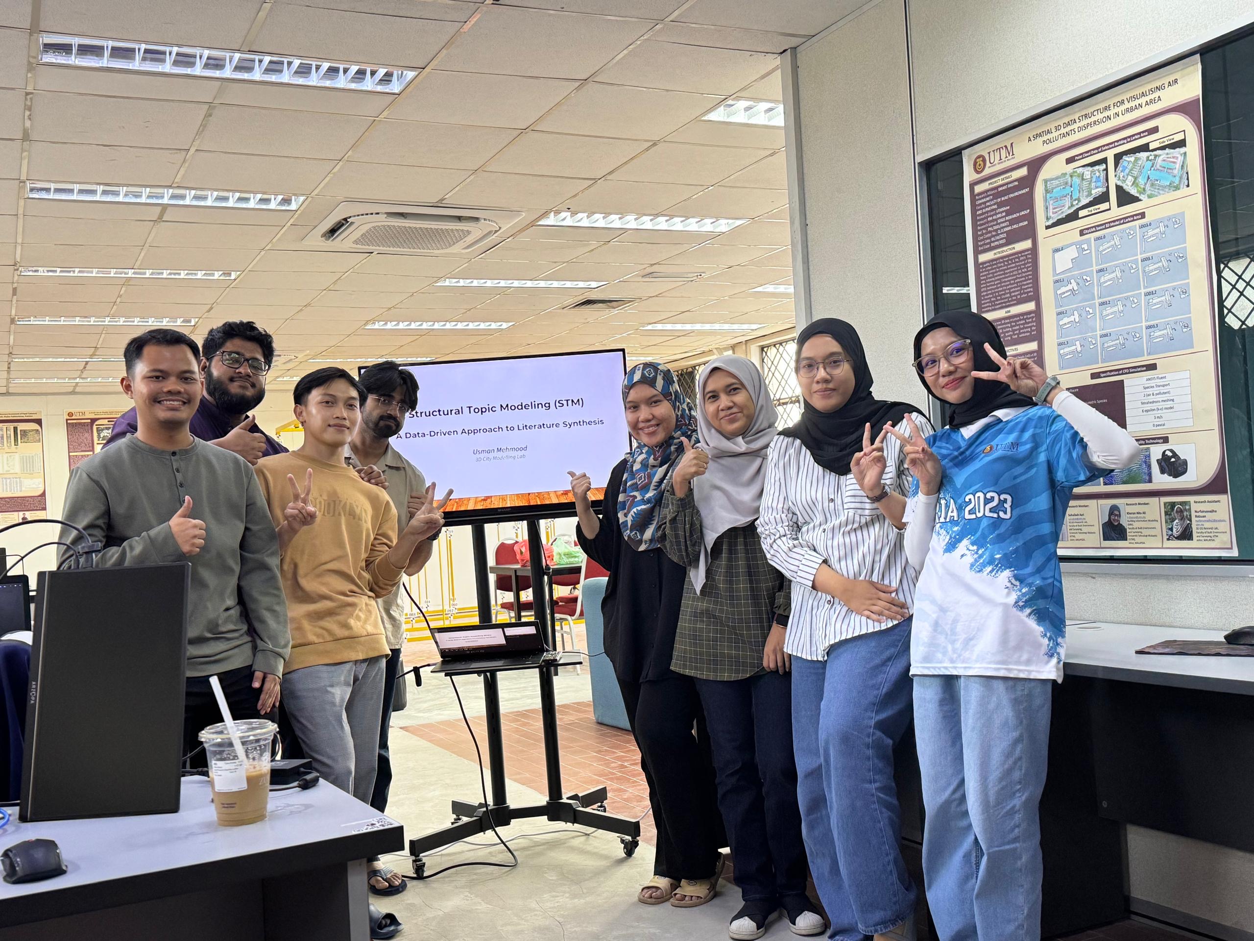
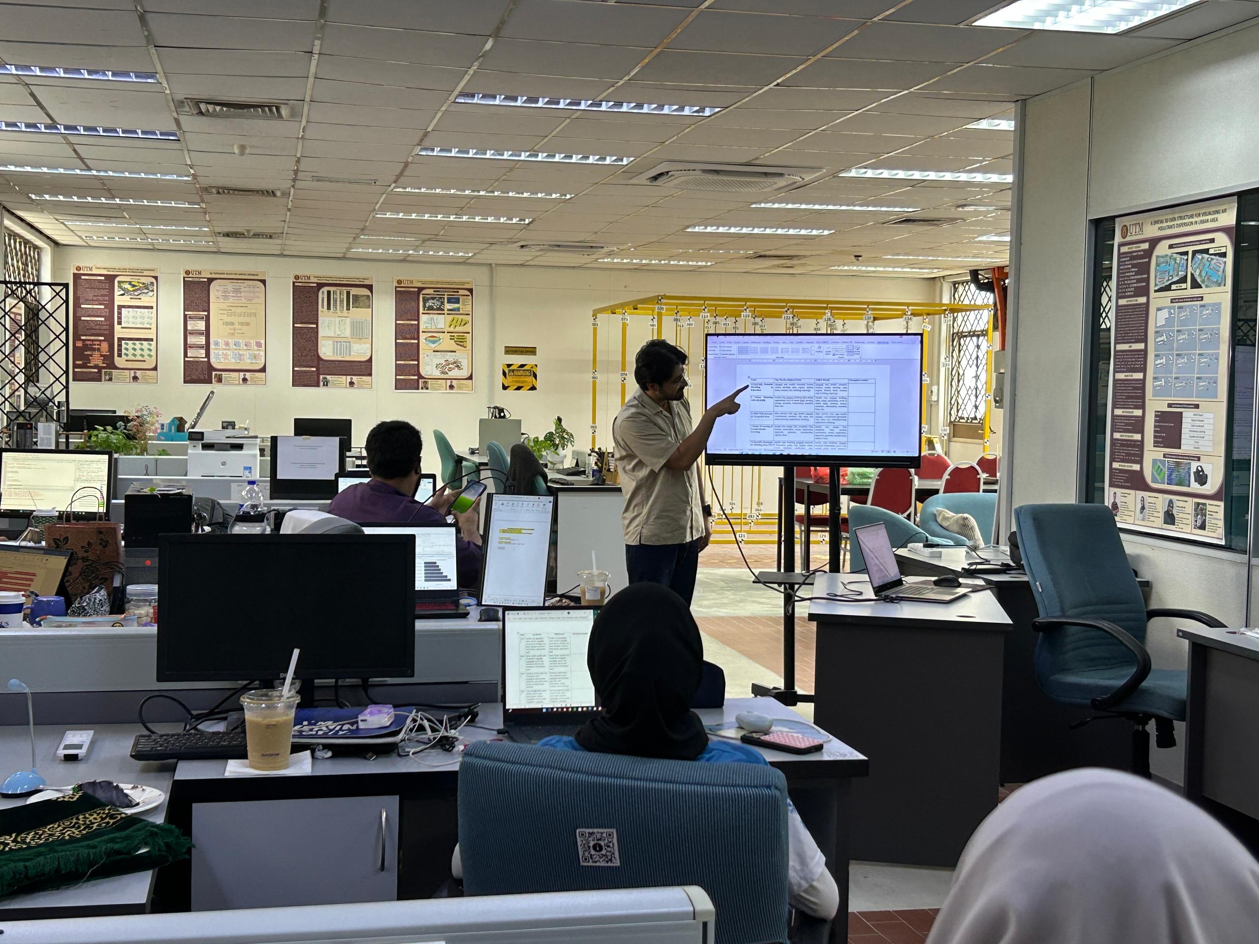
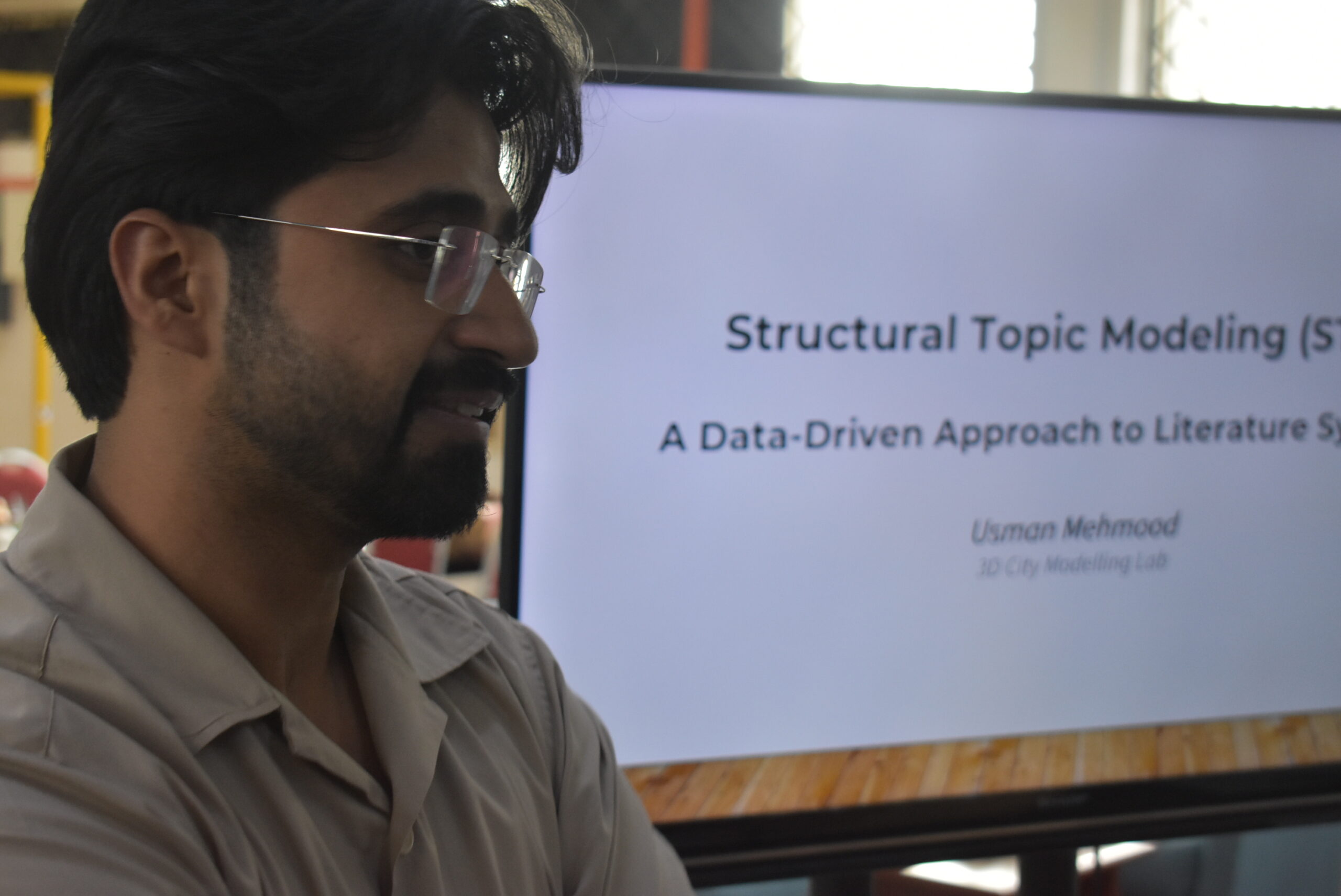
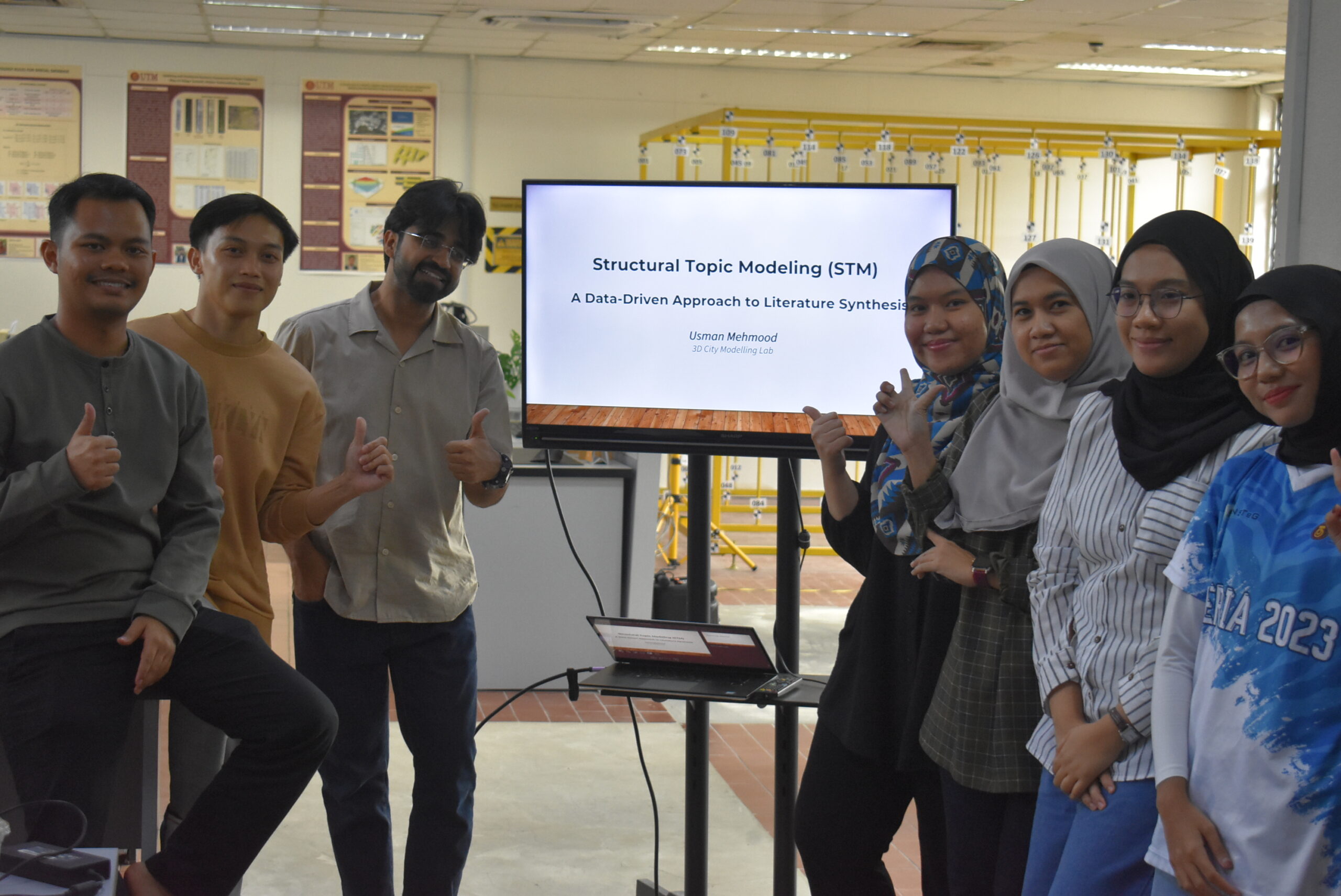
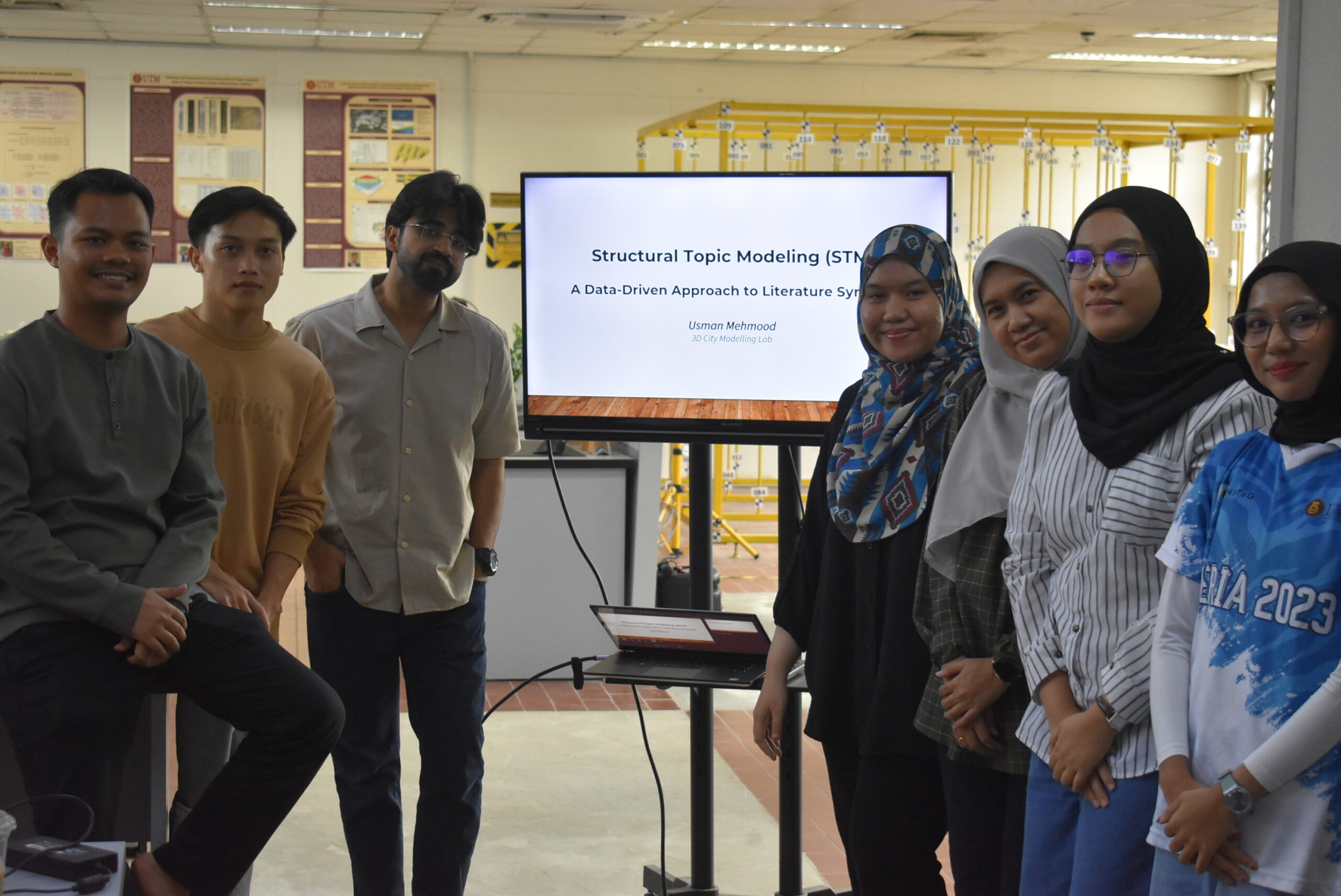
Back in action for Day 2 of our Structural Topic Modelling (STM) workshop, and this time I was able to join the team. It was great to engage directly in the session and see how everyone has progressed with this powerful analytical technique.
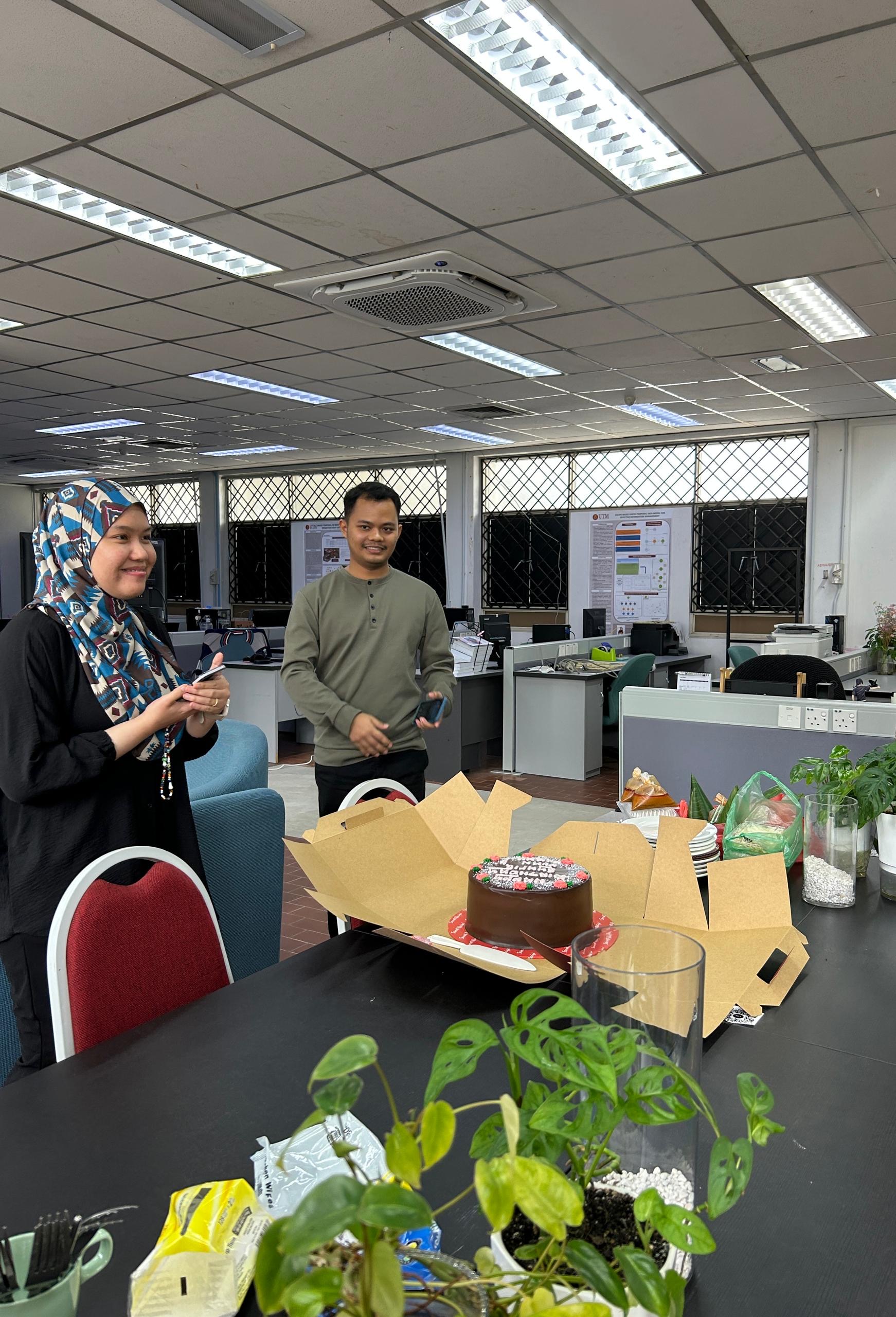
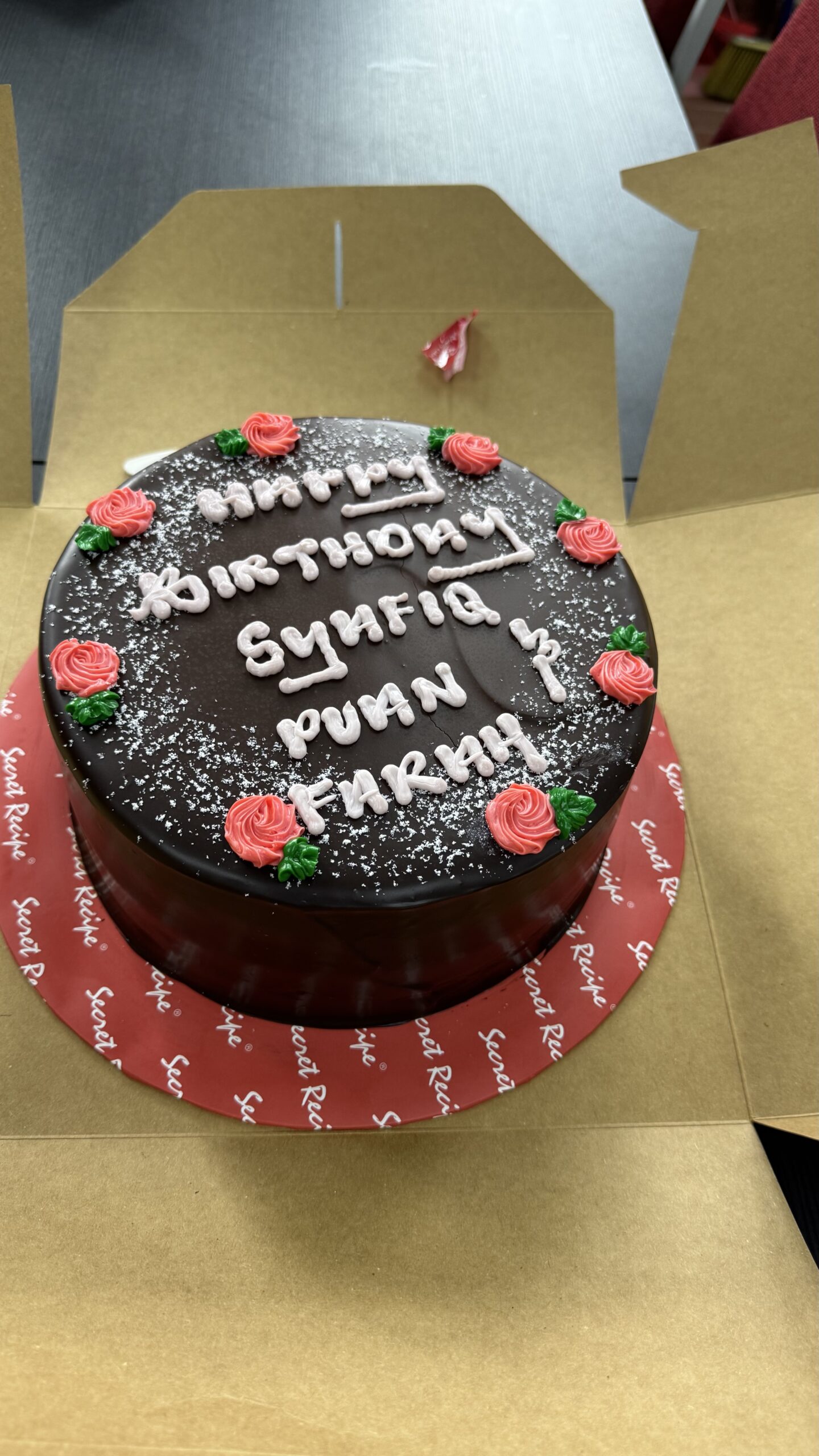
A special moment during the session was a surprise celebration for our August birthday babies. A simple gesture, but one that made the atmosphere even more lively and connected. We had chocolate cake, nasi dagang, pizza and coffee (its a mixed generations).
Workshops like this are not just about technical knowledge, but also about building a strong and supportive research culture. Grateful for the spirit and effort everyone brought into the room.
Huge thanks again to Usman Mehmood for leading the training with clarity and depth. Here’s to more sessions that grow both our minds and our bonds.