Tag Archives: University

BECAUSE RESEARCH IS HARD ENOUGH 

BECAUSE RESEARCH IS HARD ENOUGH ❤️

People often see the research papers, publications, and graduation photos.

What they don’t see are the countless hours spent in the lab… late nights, weekends, failed experiments, and the physical toll that comes with it.

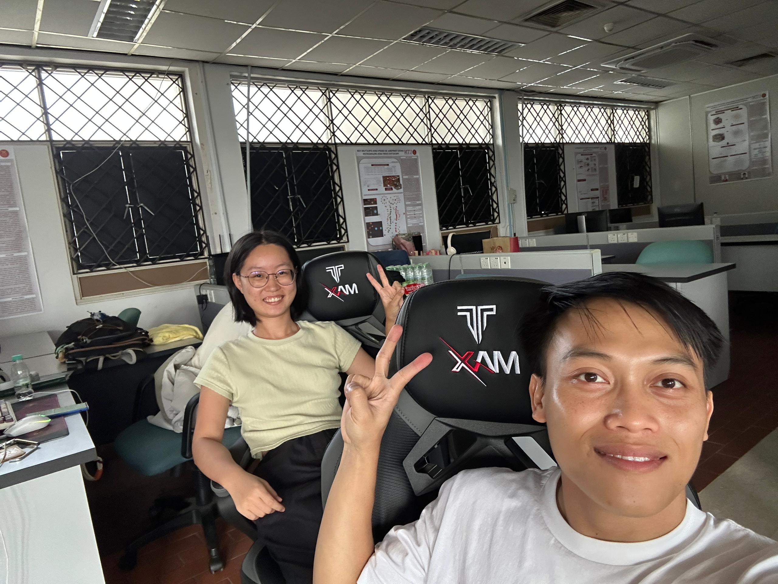
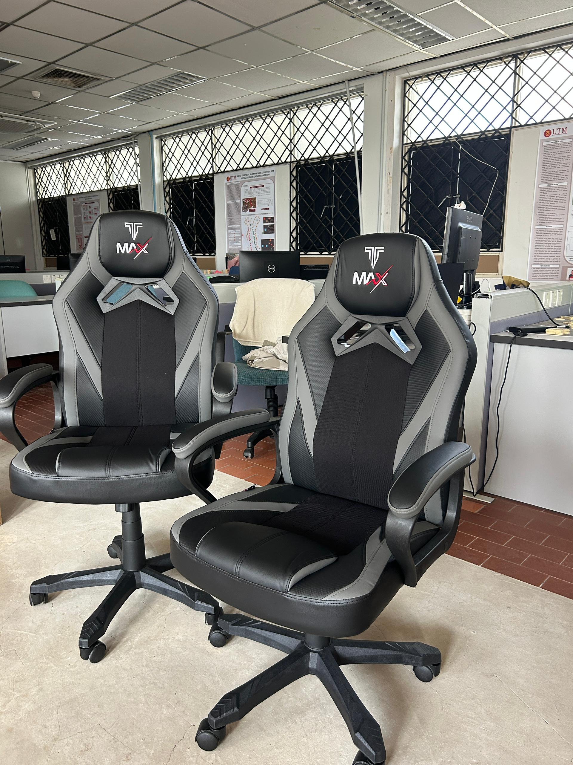
Watching my postgraduate students sit on old chairs every day made me think, “If I can make their journey just a little more comfortable, why not?”

Gaming chairs aren’t exactly cheap, and I understand why the university can’t simply buy them for every lab. So, I decided to slowly get them using my own funds.

We bought four before, and this weekend we welcomed two more. One step at a time. ❤️

A huge thank you to Wiliyan from Sarawak 🇲🇾 and Yiming from China 🇨🇳 for assembling them over the weekend. It didn’t take them long… then again, if you’re doing a PhD, assembling a gaming chair should be one of the easier challenges. 😂

Research is already hard enough. If I can help reduce even a little bit of their discomfort, it’s worth it.

Sometimes, supporting students isn’t about doing something big.

It’s about noticing the little things that make a big difference.

#PhDLife #ResearchLife #StudentSupport #AcademicLife #LabLife
FROM MAPPING TRENDS TO BUILDING BENCHMARKS

FROM MAPPING TRENDS TO BUILDING BENCHMARKS

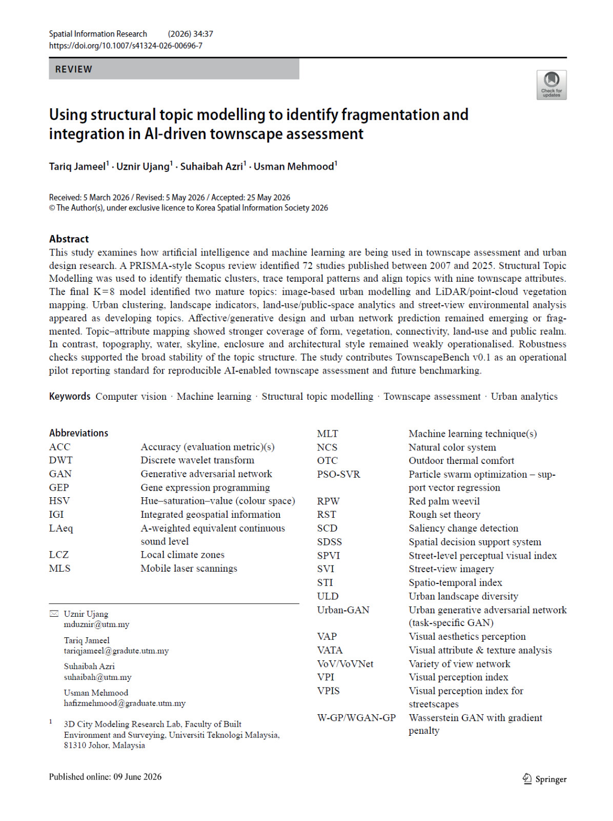
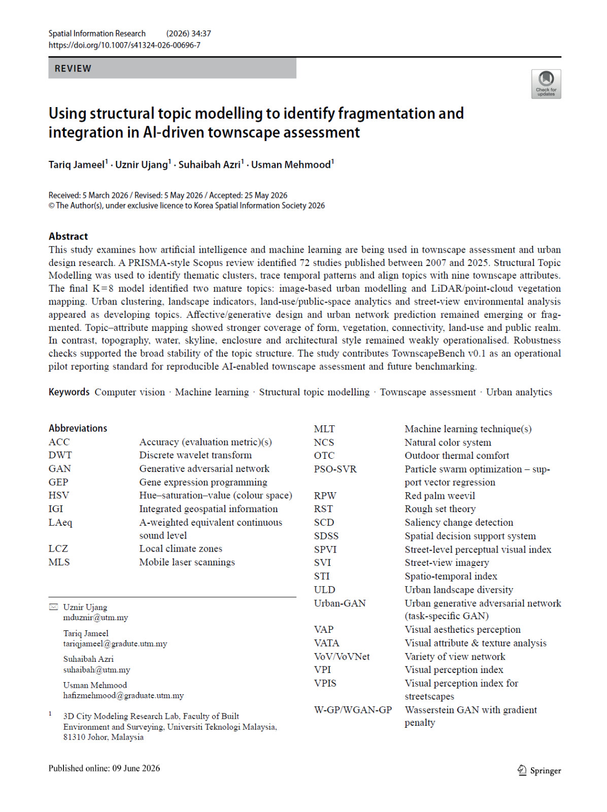
This is our latest review paper that has been published in Spatial Information Research (Springer) journal.

Title:

Using Structural Topic Modelling to Identify Fragmentation and Integration in AI-Driven Townscape Assessment

As Artificial Intelligence continues to reshape urban analytics, we wanted to answer a simple but important question:

Where is the field of AI-driven townscape assessment heading?

To answer this, we systematically reviewed research published between 2007 and 2025 and applied Structural Topic Modelling (STM) to uncover how the field has evolved over time.

Our findings revealed that while areas such as image-based urban modelling, LiDAR, point cloud processing, vegetation mapping, and urban clustering have matured significantly, several important aspects of townscape assessment, including architectural style, skyline, topography, and water-related attributes, remain underexplored.

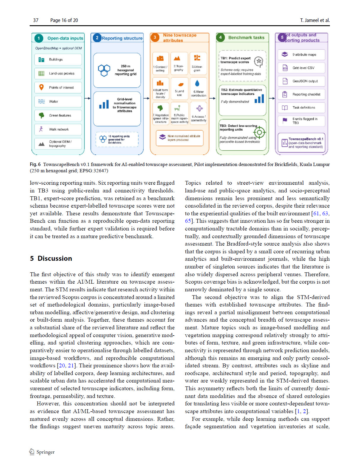
One of the key outcomes of this study is the introduction of TownscapeBench v0.1, an open reporting framework designed to improve the reproducibility and benchmarking of AI-enabled townscape assessment. We hope this framework will serve as a useful reference for researchers working at the intersection of Artificial Intelligence, Machine Learning, Computer Vision, GIS, and Urban Analytics.

Research is not only about developing new algorithms. Sometimes, it is equally important to step back, understand where a field currently stands, identify existing gaps, and provide a roadmap for future research.

My sincere appreciation goes to my team for the excellent collaboration. I look forward to seeing how this work contributes to the next generation of AI-driven urban and geospatial research.

📄 Read the paper here:

https://doi.org/10.1007/s41324-026-00696-7

#ArtificialIntelligence #MachineLearning #Townscape #UrbanAnalytics #GIS

A SIMPLE “YES” TO HELPING A COLLEAGUE

A SIMPLE “YES” TO HELPING A COLLEAGUE

Sometimes, the best opportunities begin with a simple message.

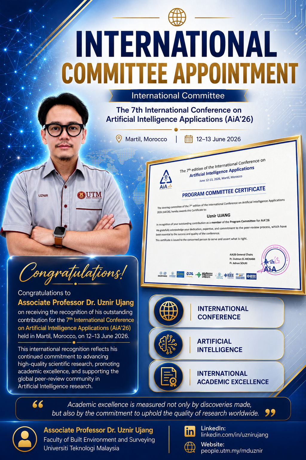
Earlier this year, a colleague from Morocco reached out and asked whether I would be willing to support the 7th International Conference on Artificial Intelligence Applications (AiA’26) as a member of the International Program Committee.

Of course, I was happy to help.

Academic research has always been built on collaboration. Whether it is reviewing conference papers, evaluating research quality, or sharing ideas, every contribution helps strengthen the scientific community.

This year, I had the privilege of serving on the International Program Committee for AiA’26, contributing to the peer review process alongside researchers from around the world. It is always a rewarding experience to read new ideas, provide constructive feedback, and help ensure that only high-quality research is presented at the conference.

Artificial Intelligence continues to transform many aspects of our lives, making conferences like AiA an important platform for researchers to exchange ideas, build collaborations, and showcase innovative solutions to real-world challenges.

I sincerely thank the organising committee for the invitation and for this certificate of appreciation. I truly appreciate the trust they have placed in me.

I hope this will be the beginning of many more collaborations with colleagues from Morocco and other parts of the world.

After all, science grows stronger when we help one another.

#ArtificialIntelligence #InternationalCollaboration #AcademicService #PeerReview #Morocco

AN IMPORTANT MILESTONE IN A PhD JOURNEY

AN IMPORTANT MILESTONE IN A PhD JOURNEY

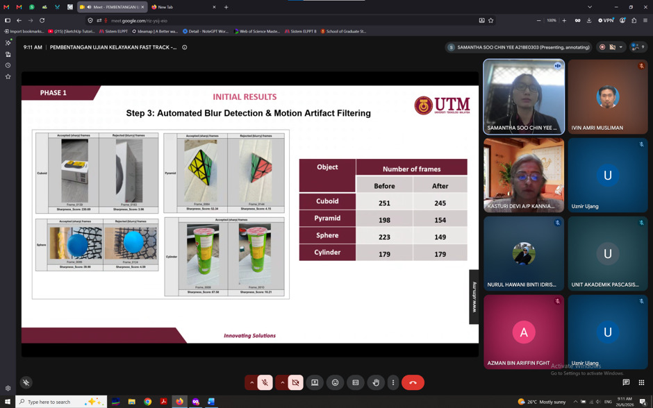
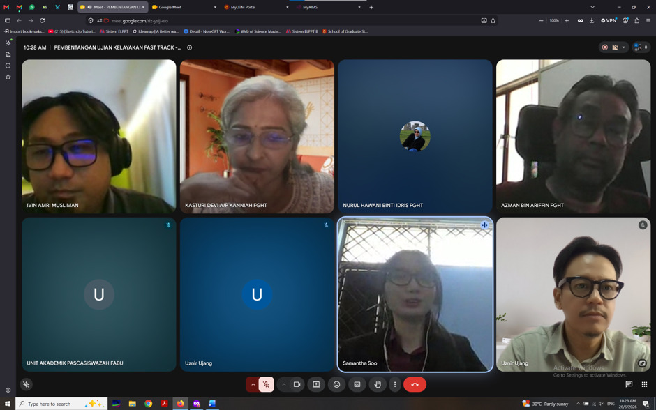
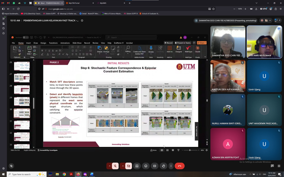
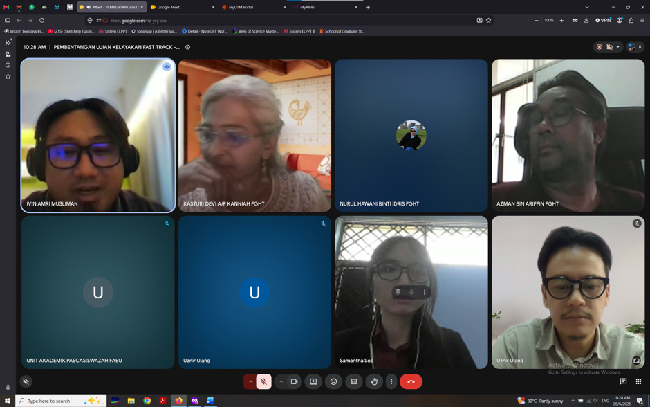
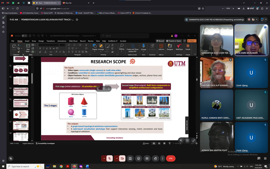
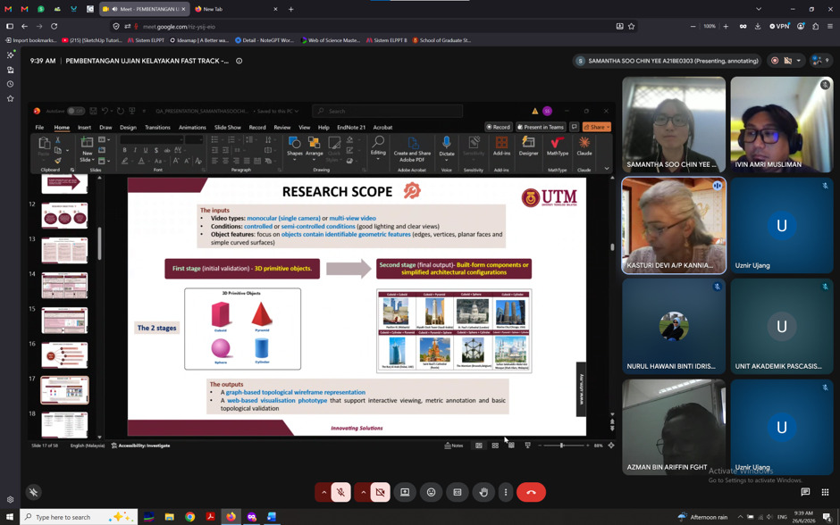
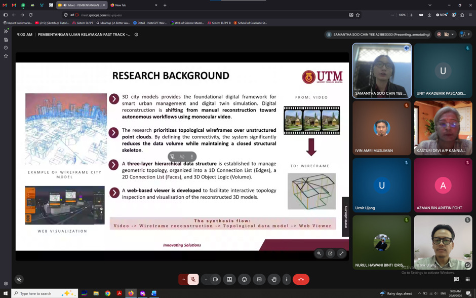
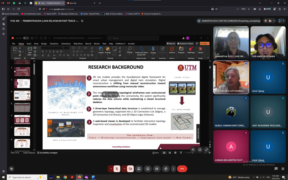
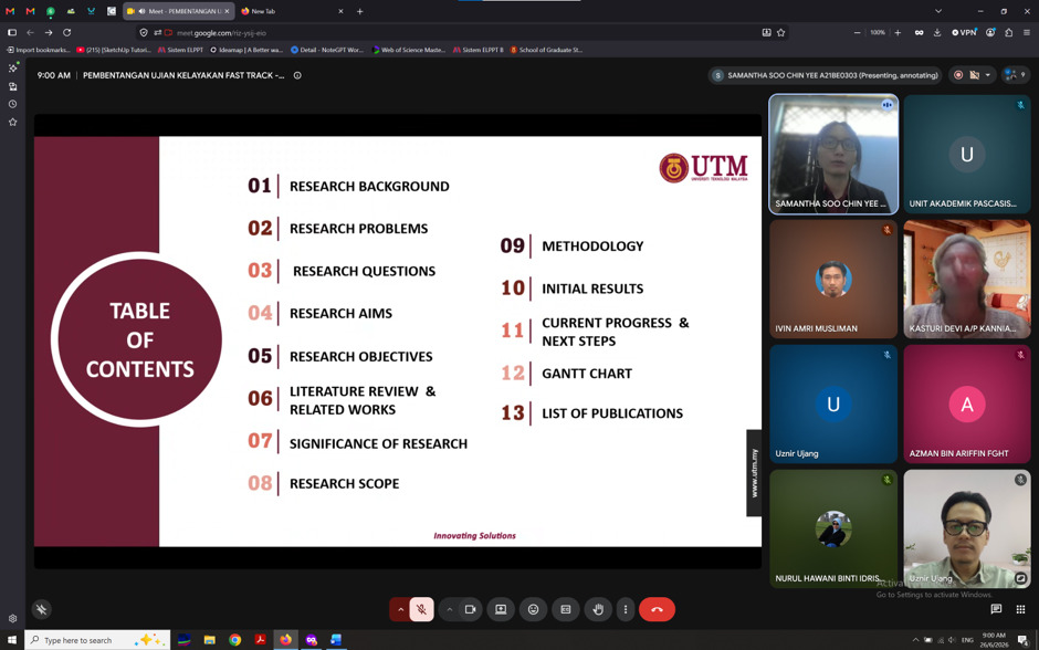
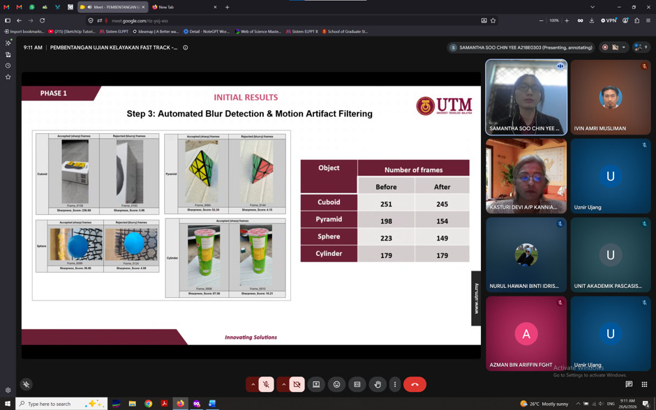
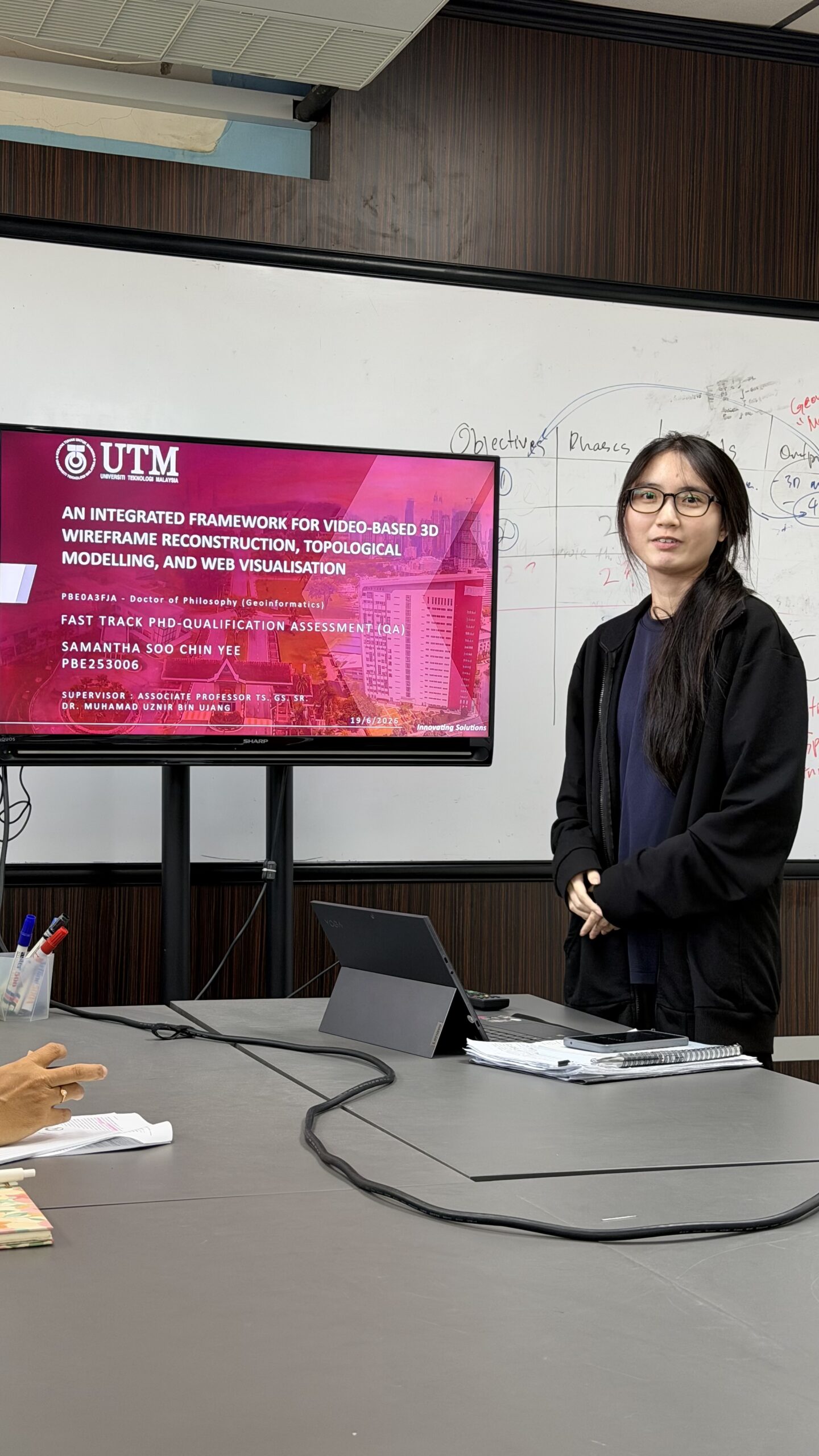
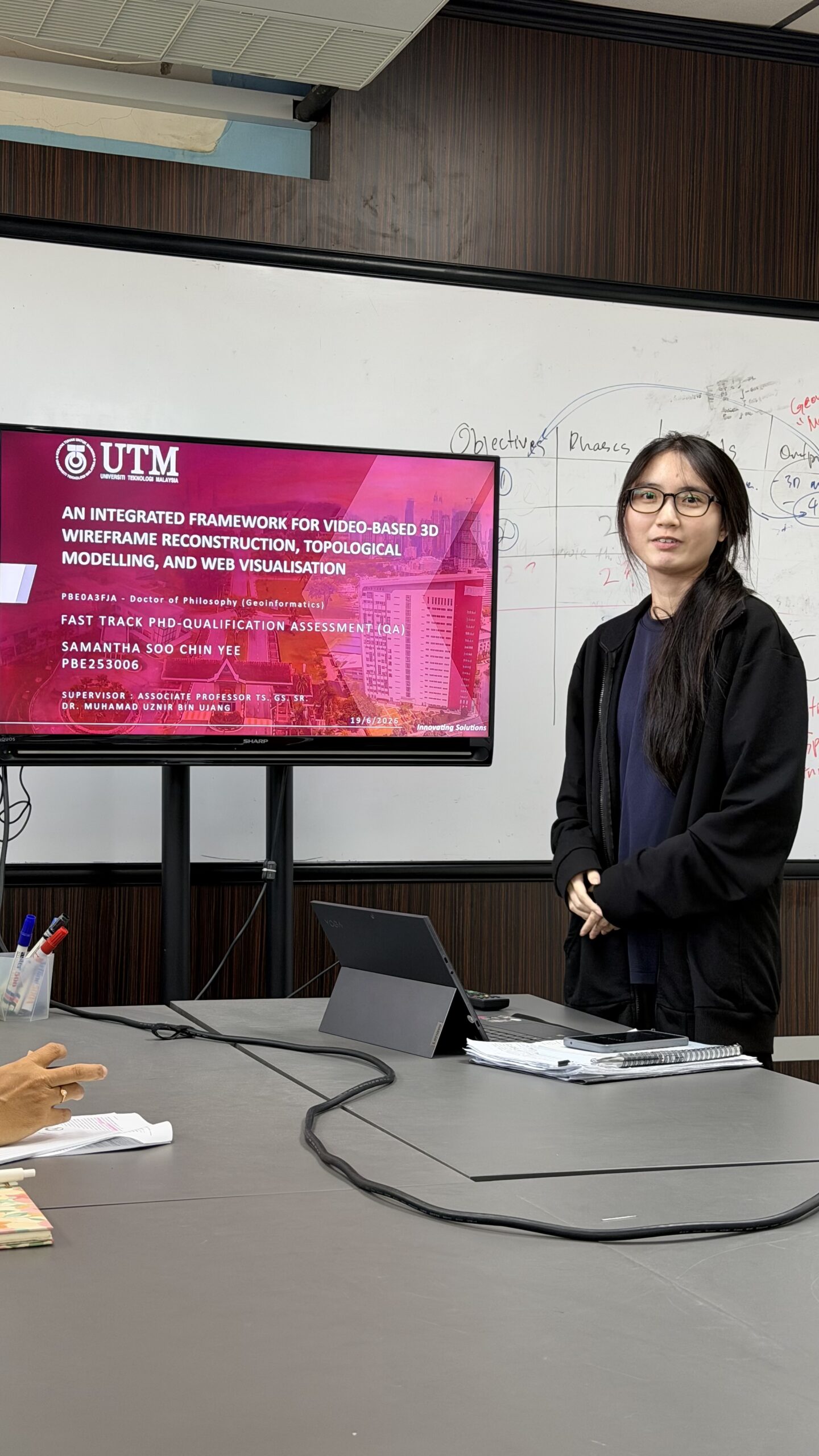
Congratulations to my PhD student, Samantha Soo Chin Yee, on successfully passing her PhD Qualification Assessment (QA).

The Qualification Assessment is one of the most important milestones in a PhD journey. It is not simply another presentation. It is a formal assessment where the candidate must convince a panel of examiners that the research is original, scientifically sound, feasible, and has sufficient novelty to continue as a PhD project. Passing the QA means the student has demonstrated the capability to carry out independent doctoral research.

I am especially proud because Samantha achieved this milestone in just her 8th month as a PhD student.

According to the chairman, she answered the examiners’ questions confidently, and the panel acknowledged both the novelty and significance of her research. Better yet, the entire QA session was completed in only 1 hour and 20 minutes, including a 19-minute presentation, which reflects her excellent preparation and clear understanding of her work.

Looking back, it has been an incredible start to her PhD journey. Within her first year, Samantha has already:

  • Published a paper in the ISPRS Archives indexed in Web of Science.
  • Collaborated with researchers from Karabük University, Türkiye, and an industry partner from Spain.
  • Successfully passed her PhD Qualification Assessment.

These achievements did not happen by chance. They are the result of consistent effort, discipline, and a willingness to learn.

Congratulations once again, Samantha. This is only the beginning of your PhD journey, and I look forward to seeing your research continue to grow and make meaningful contributions to the geospatial community.

Keep up the excellent work. The best is yet to come.

#PhD #QualificationAssessment #Research #GeospatialScience #UTM

TRUST ISSUE – DON’T USE GIS DATA BLINDLY

TRUST ISSUE – DON’T USE GIS DATA BLINDLY

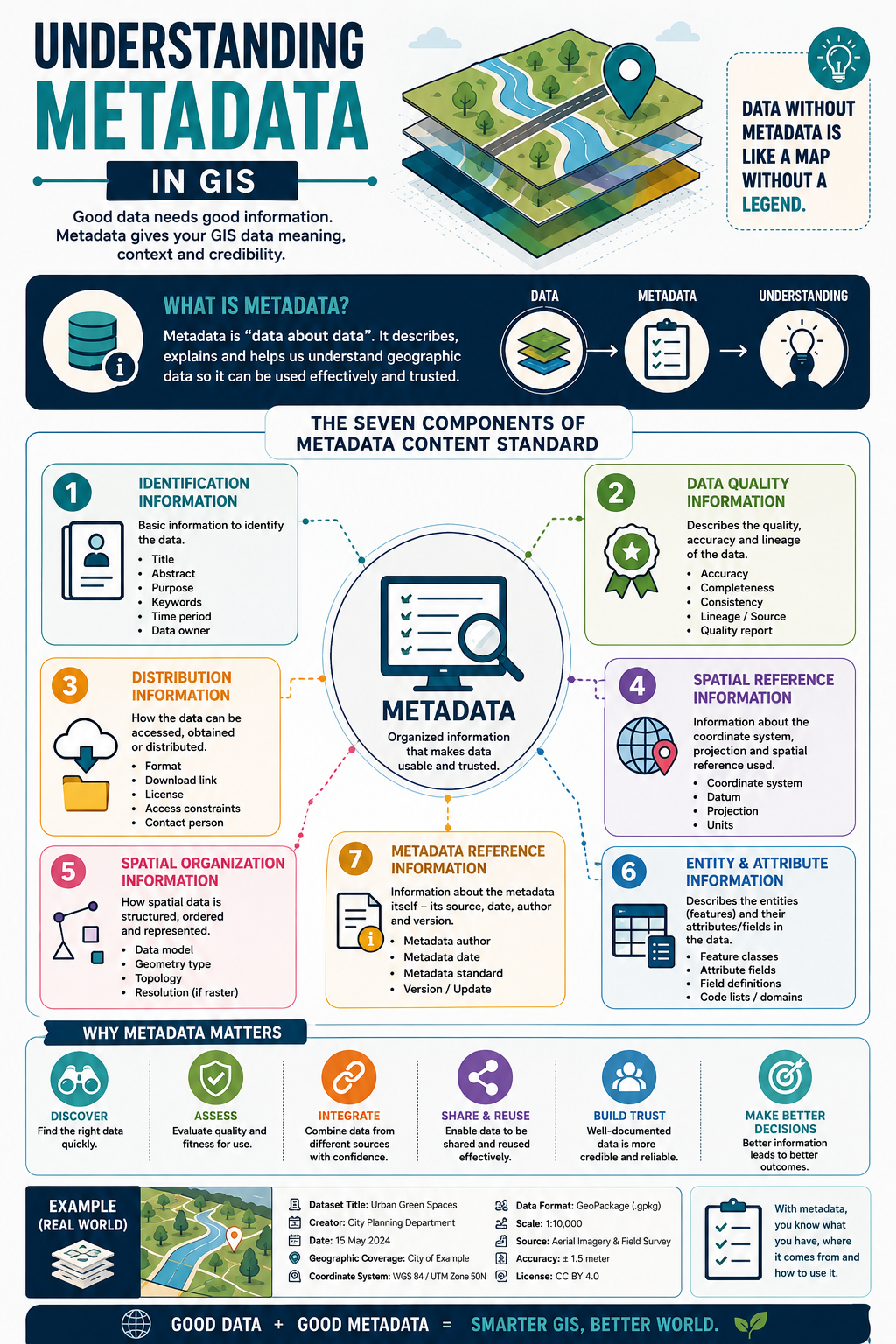
Would you trust a map if you didn’t know where it came from?

Imagine downloading a GIS dataset that looks perfect.

It has roads, buildings, rivers, and land parcels. Everything seems ready to use.

But then the questions start.

❓ Who created it?

❓ When was it last updated?

❓ How accurate is it?

❓ Which coordinate system does it use?

❓ Can you trust it for your analysis?

Without metadata, you have no answers.

That’s why metadata is often called “data about data.” It provides the information needed to understand, evaluate, and confidently use a GIS dataset.

Good metadata tells you:

📌 What the dataset contains

📌 Who created it

📌 When it was collected or updated

📌 Where it covers

📌 How it was produced

📌 How accurate it is

📌 How you can access, share, and reuse it

Think of metadata as the instruction manual for your GIS data.

Without it, even the best dataset can become confusing, unreliable, or impossible to use correctly.

Why is metadata important?

✅ Helps you discover the right dataset faster

✅ Allows you to assess data quality and suitability

✅ Makes it easier to integrate data from different sources

✅ Encourages data sharing and reuse

✅ Builds confidence and trust in your analysis

A simple way to remember it:

📍 Data tells you the answer.

📋 Metadata tells you whether you should trust the answer.

The next time you download a GIS dataset, don’t just open the map.

Open the metadata first.

It might be the most valuable information in the entire dataset.

Have this in mind when you look at neat datasets, “it’s too good to be true” 😊

#GIS #Metadata #Geospatial #SpatialData #GISLearning

AN AFTERNOON OF FUTURE GIS RESEARCH

AN AFTERNOON OF FUTURE GIS RESEARCH

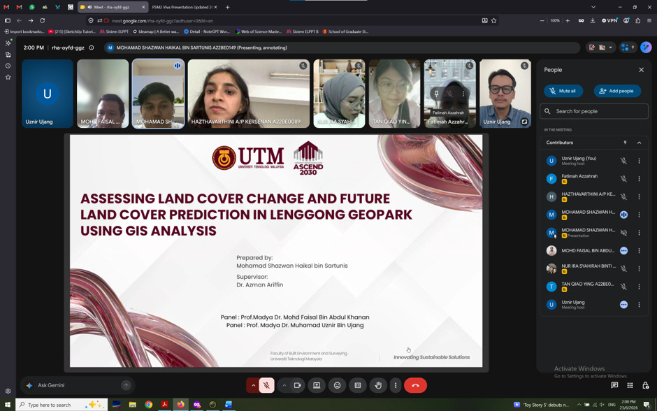
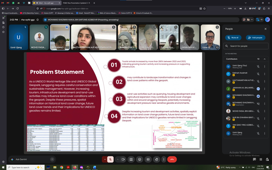
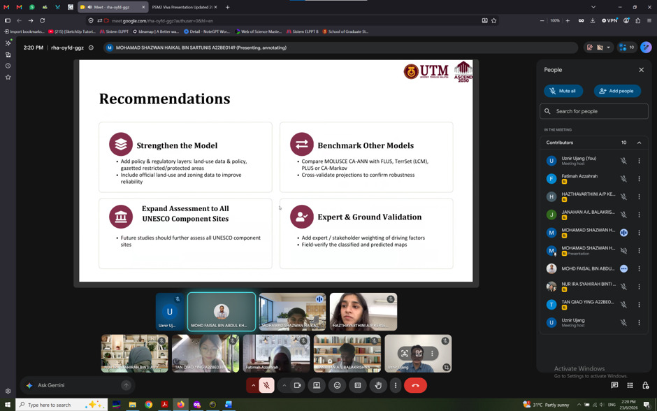
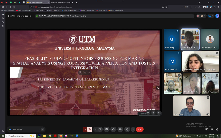
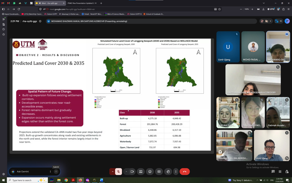
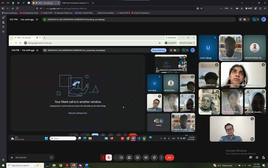
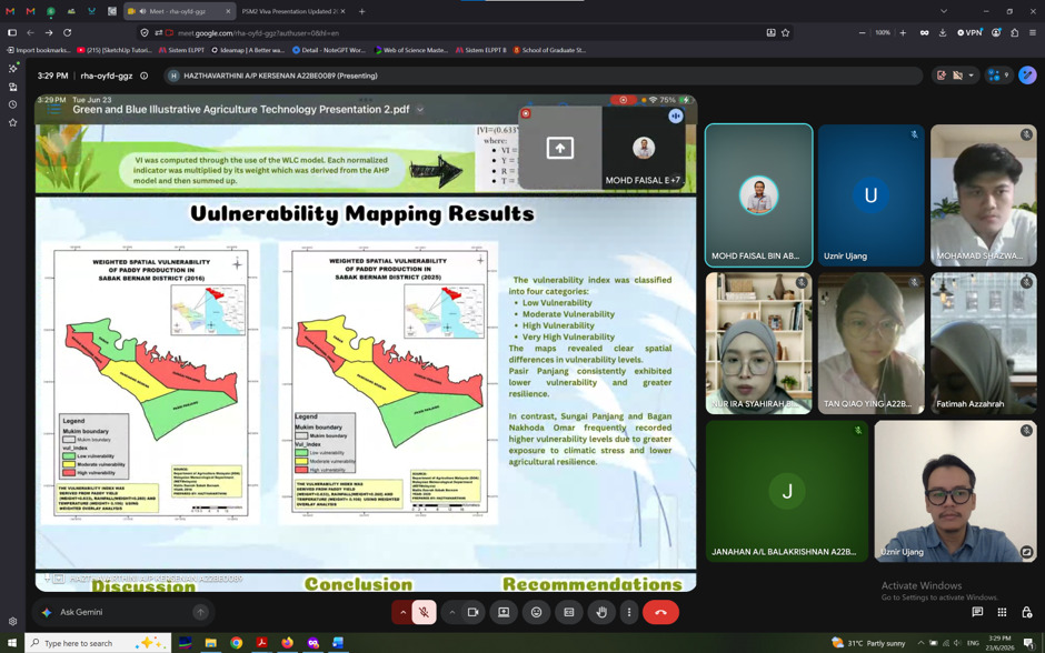
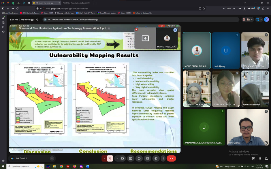
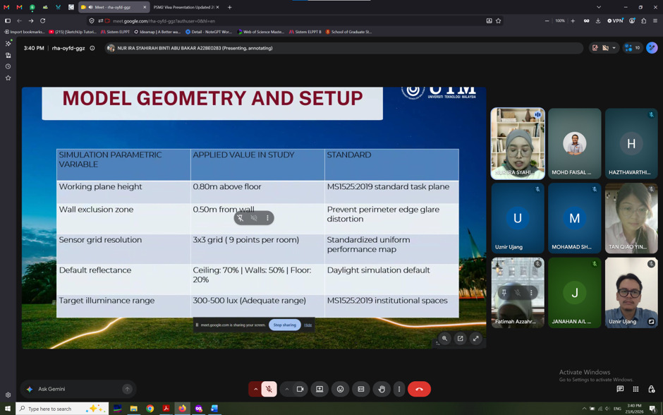
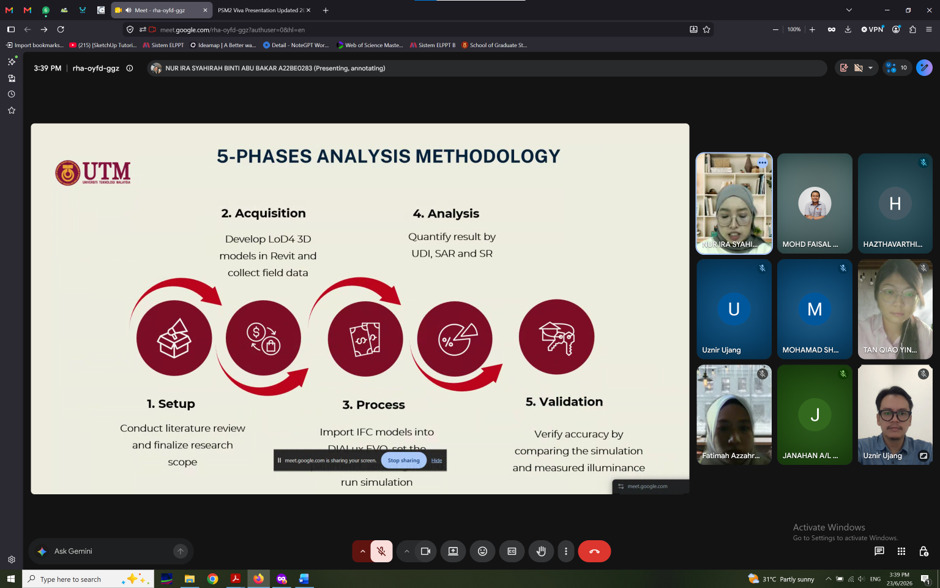
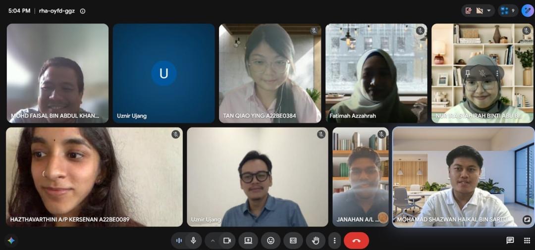
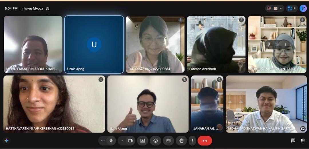
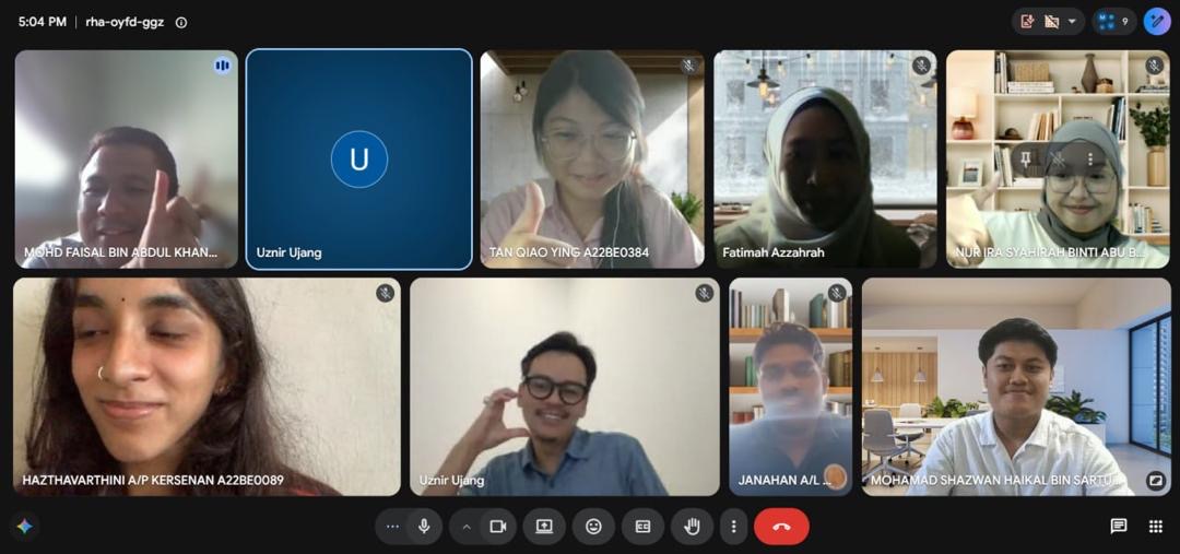
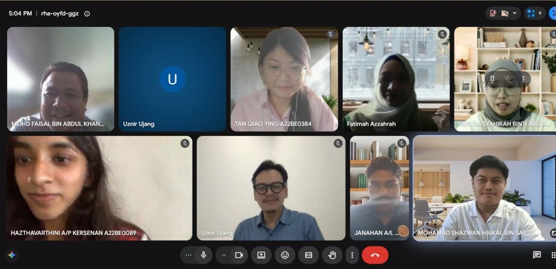
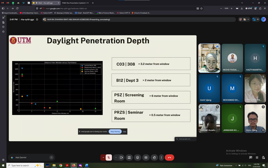
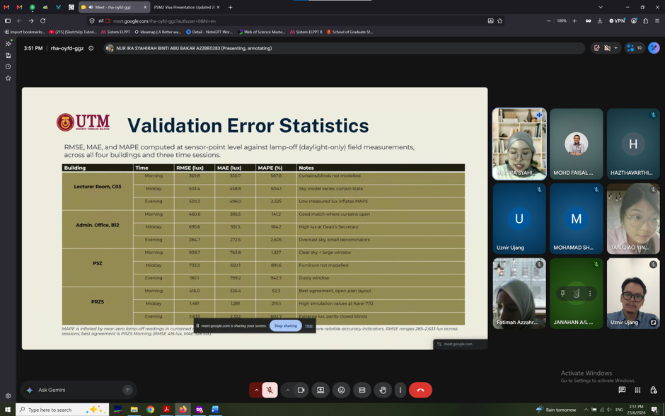
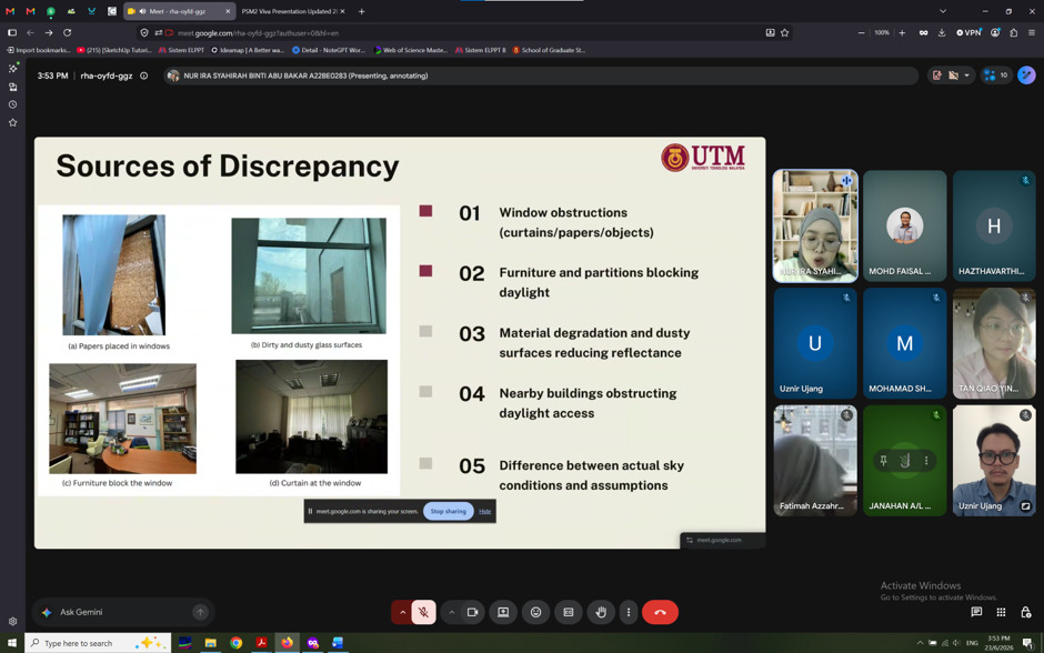
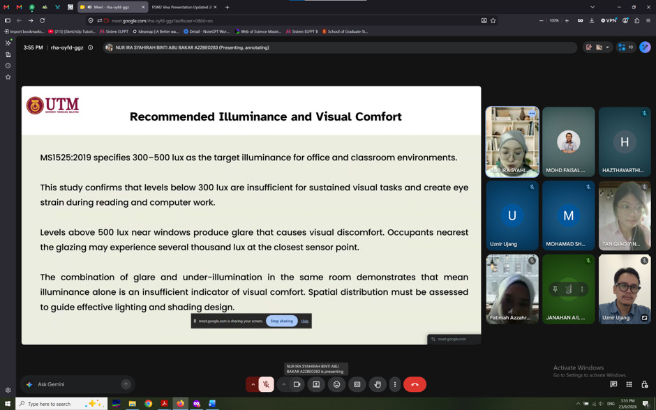
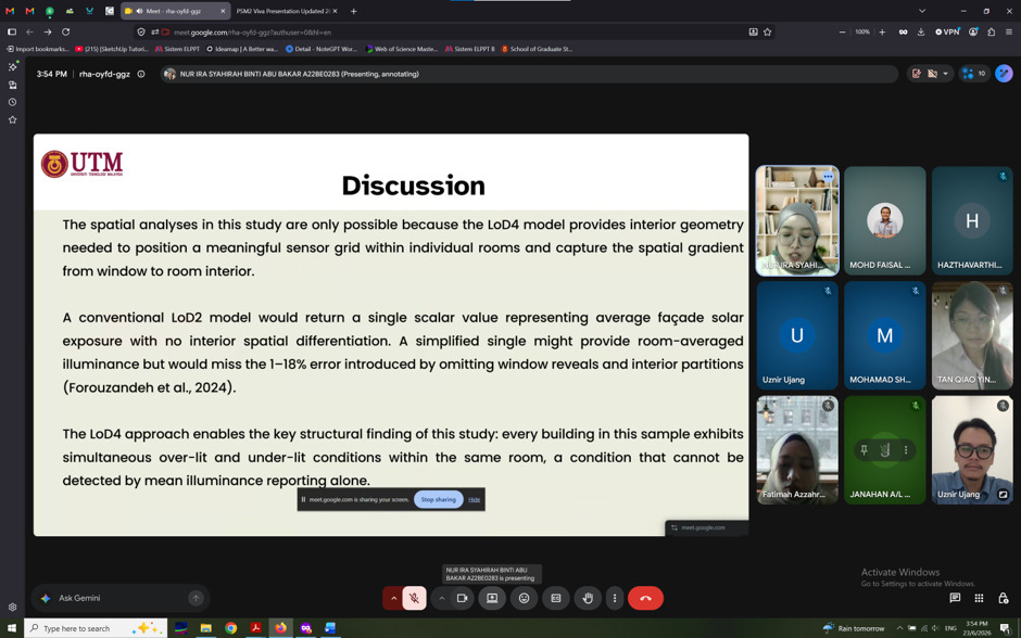
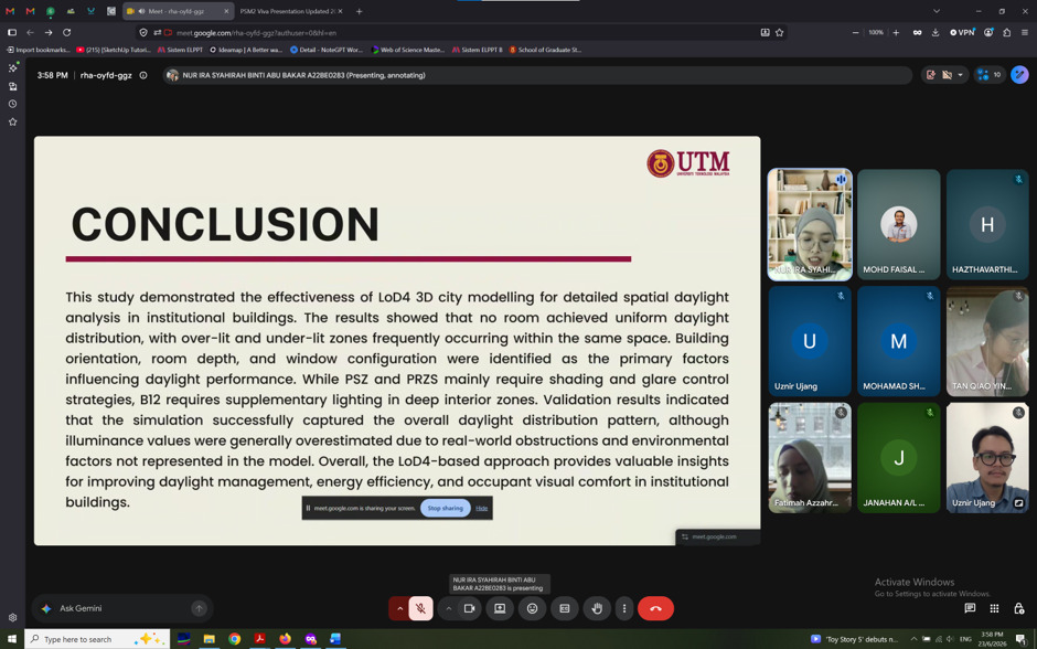
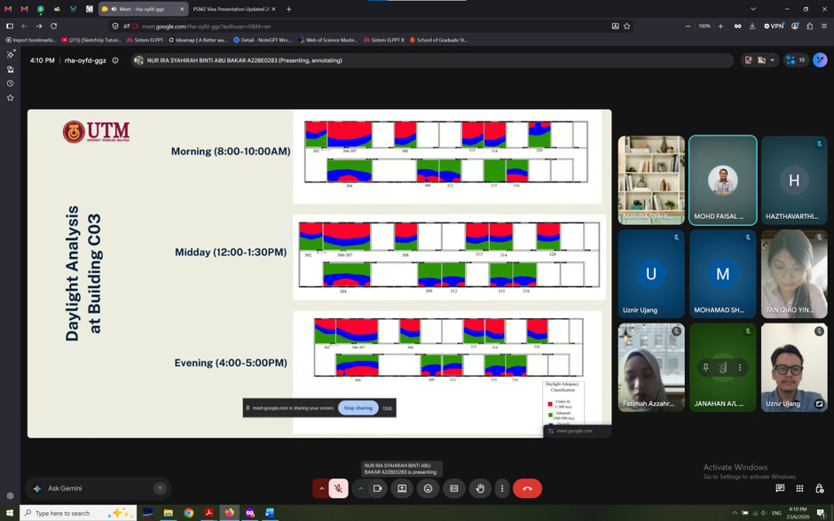
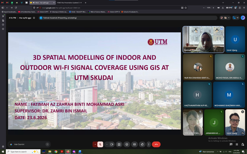
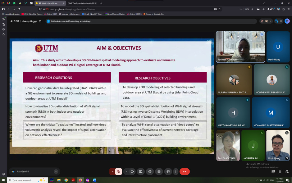
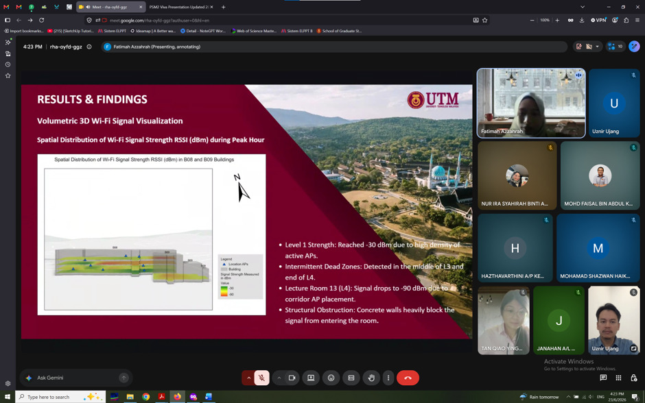
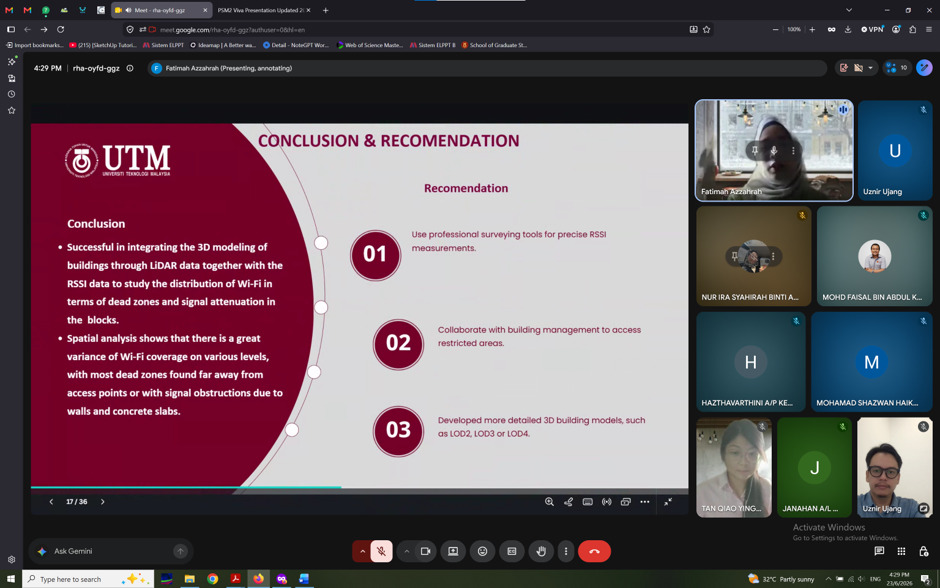
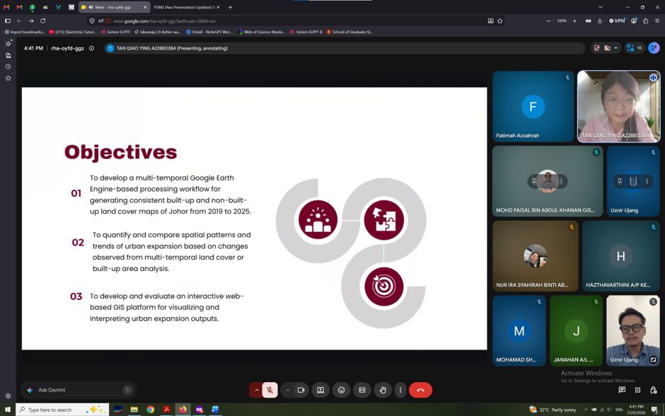
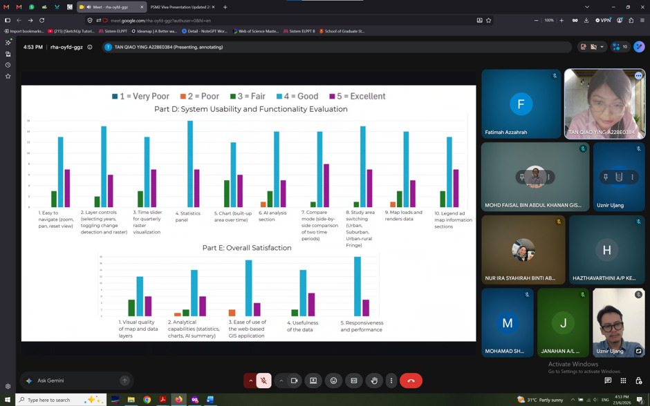
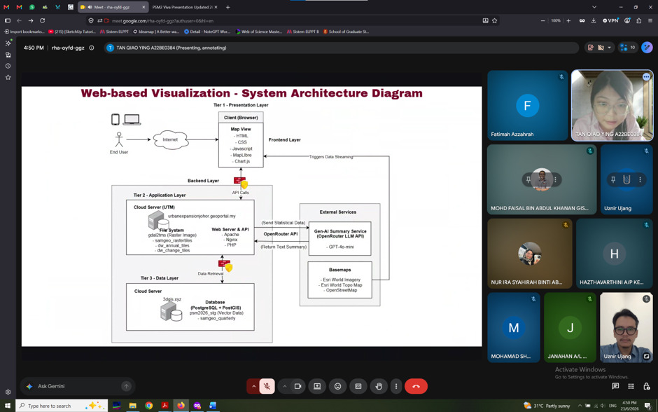
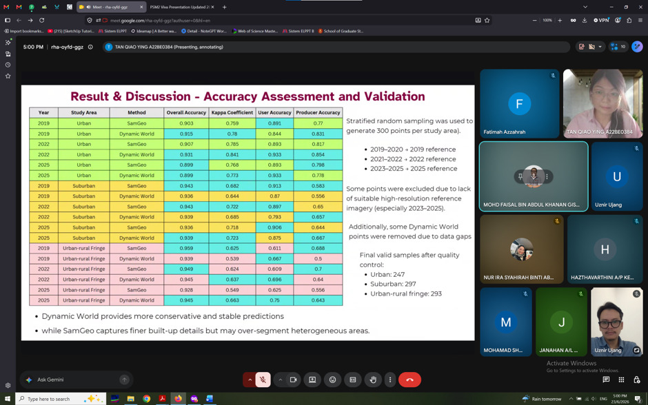
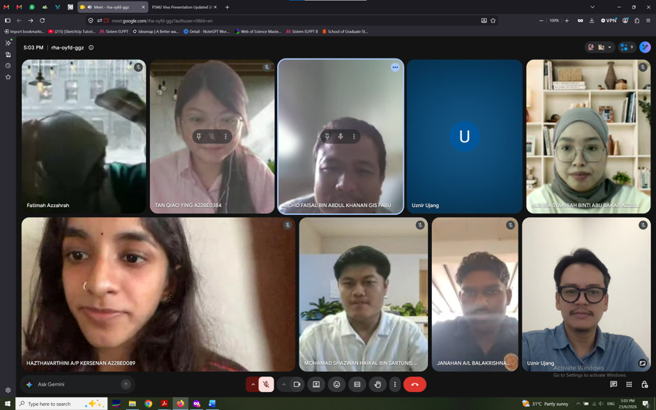
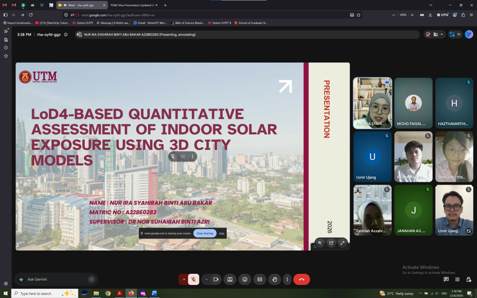
This afternoon, I had the opportunity to serve as a panel examiner for the PSM II (Final Year Project) presentations in the Geoinformation programme.

Throughout the afternoon, six final-year students presented their research:

• Mohamad Shazwan Haikal bin Sartunis – Assessing land cover change dynamics and future land cover prediction in Lenggong Geopark using GIS analysis.

• Janahan A/L Balakrishnan – Feasibility study of offline GIS processing for marine spatial analysis using Progressive Web Application and PostGIS integration.

• Hazthavarthini A/P Kersenan – Spatio-temporal analysis of paddy yield vulnerability to short-term weather variability in Sekinchan, Selangor using GIS.

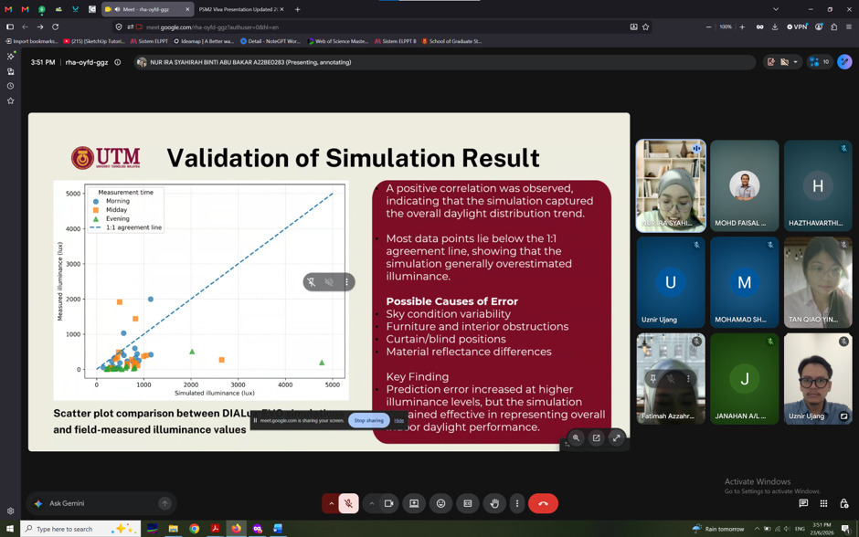
• Nur Ira Syahirah binti Abu Bakar – LOD4-based quantitative assessment of indoor solar exposure using 3D city models.

• Fatimah Az Zahrah binti Mohammad Asri – Analysis of Wi-Fi signal distribution and quality at UTM campus using GIS.

• Tan Qiao Ying – Assessment of urban expansion patterns in Perak using Google Earth Engine and web-based visualisation.

It is always encouraging to see undergraduate students applying advanced geospatial technologies such as GIS, 3D city modelling, Google Earth Engine, web GIS, PostGIS, and spatio-temporal analysis to solve real-world challenges. The diversity of topics also reflects how broad and impactful the geospatial field has become, covering environmental monitoring, agriculture, urban planning, smart cities, energy analysis, and wireless communication.

The presentations went smoothly, and I was impressed by the effort, preparation, and confidence shown by every student. Beyond evaluating their work, sessions like these are valuable opportunities to exchange ideas, provide constructive feedback, and help students strengthen their research before graduation.

Congratulations to all six students for reaching this important milestone. I wish each of you all the very best in completing your final projects and in your future careers.

My sincere appreciation also goes to all the supervisors for their continuous guidance and dedication in nurturing the next generation of geospatial professionals.

#GIS #GeospatialScience #FinalYearProject #PSMII #UTM #3DGIS

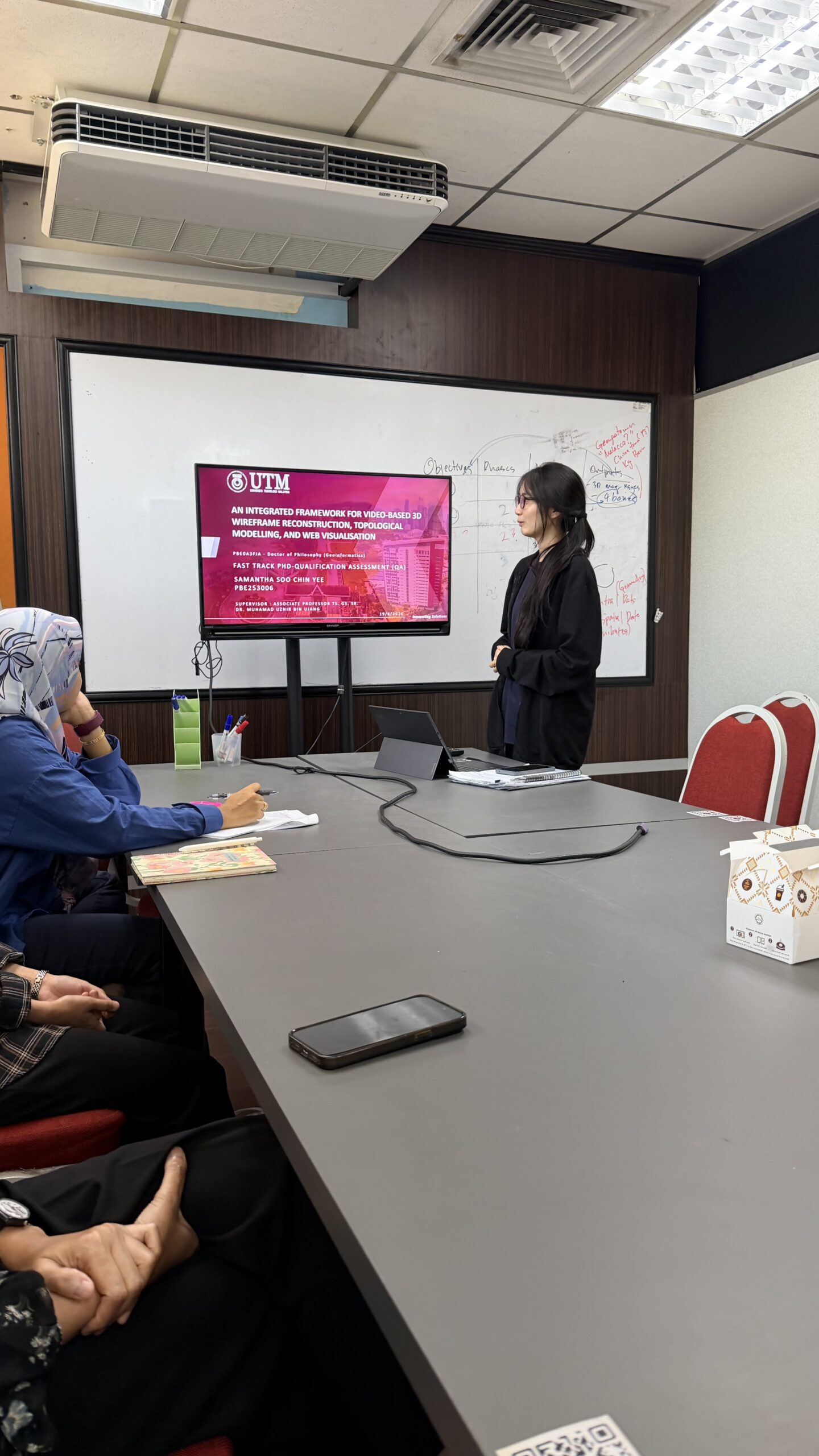
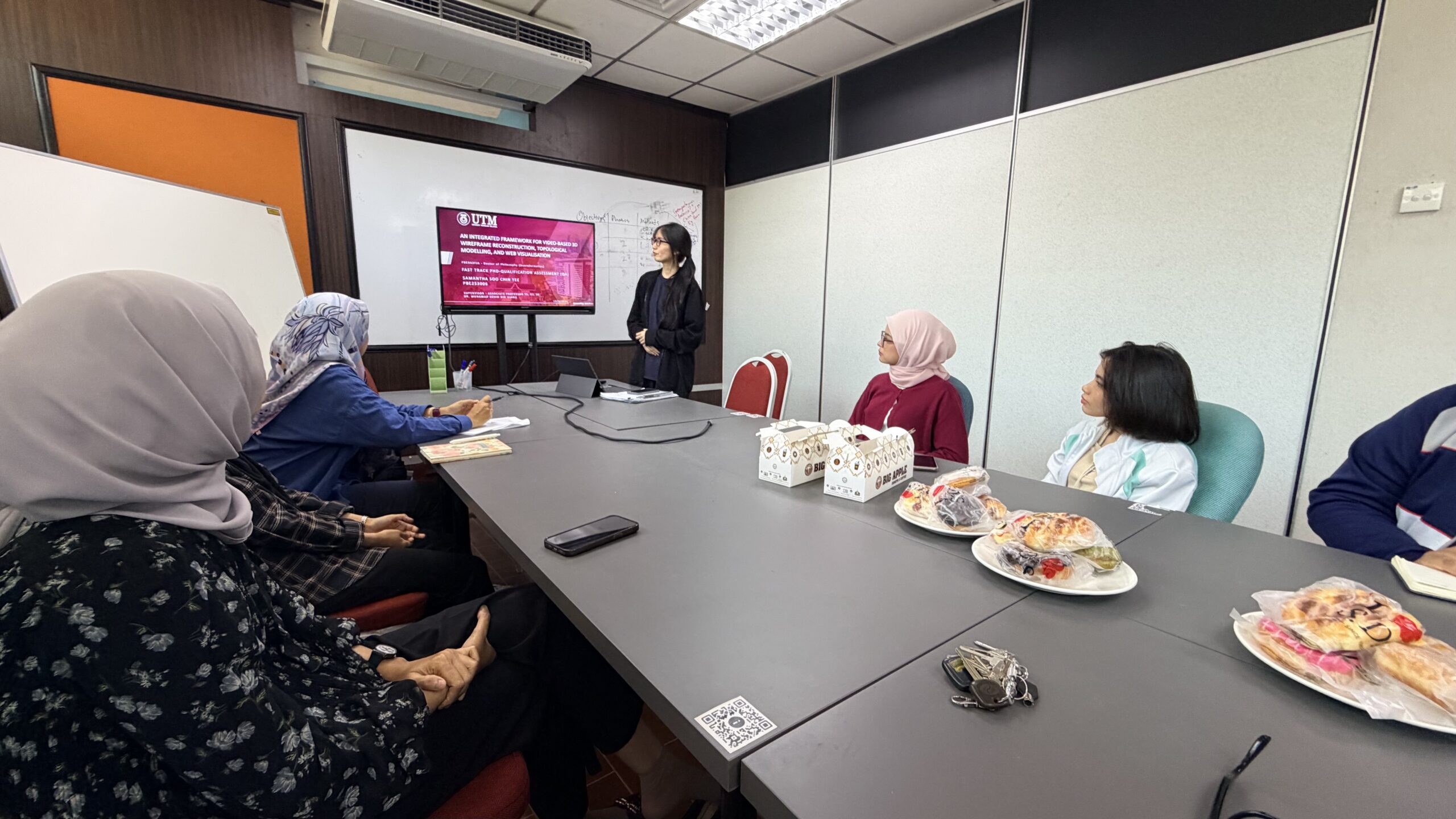
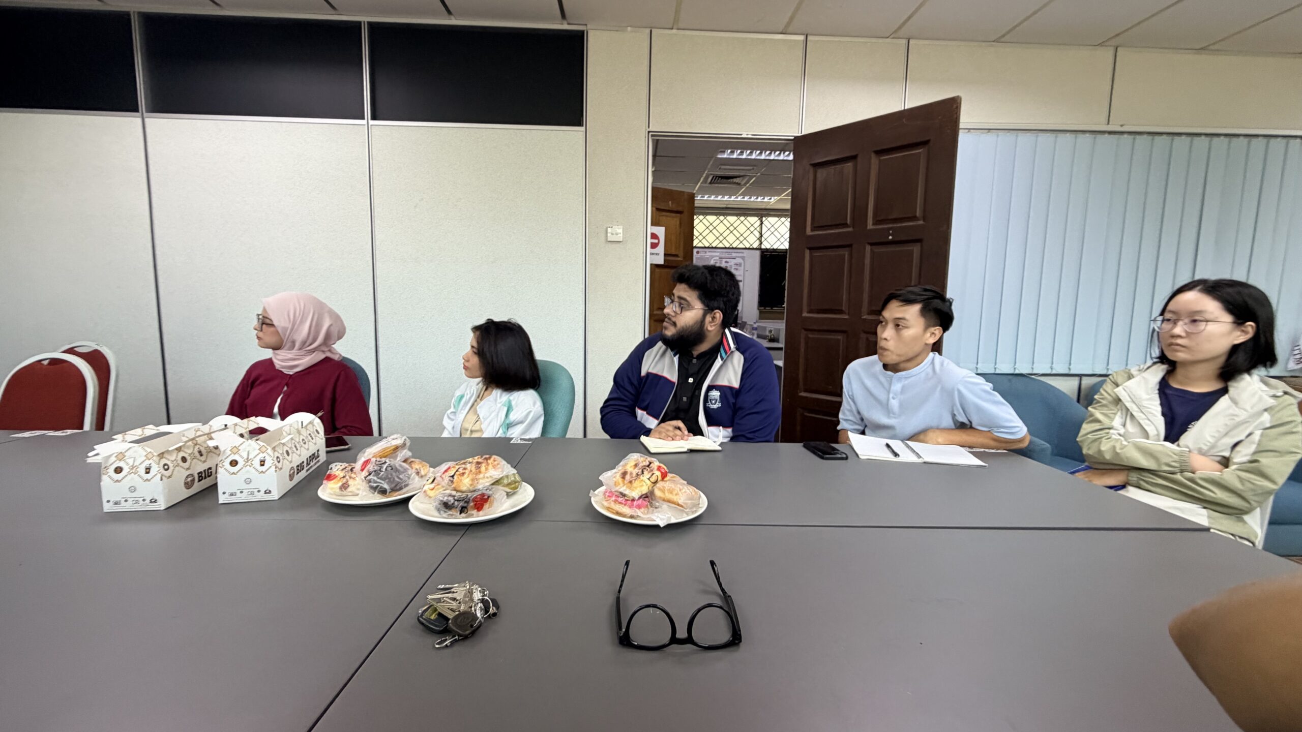
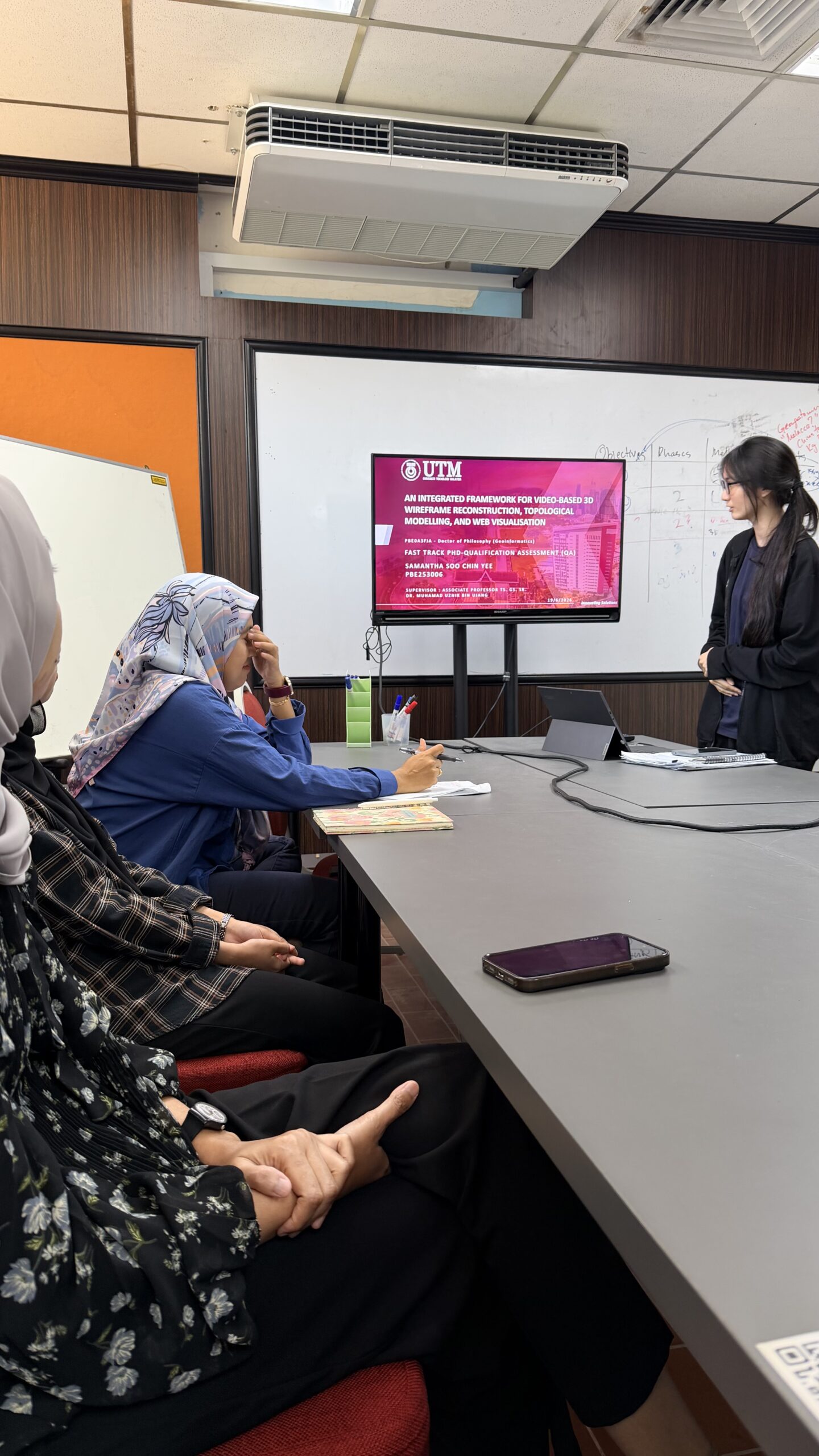
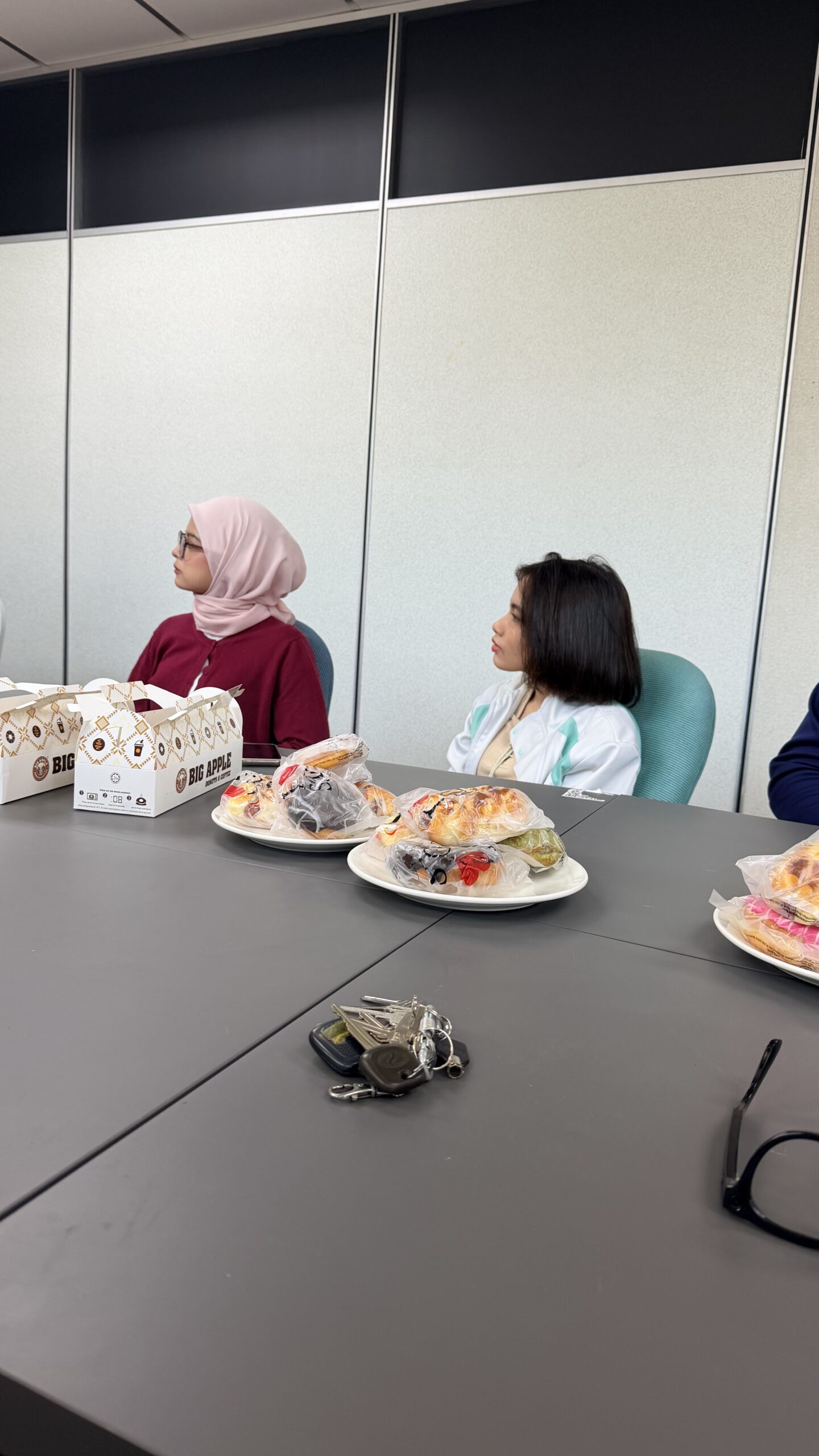
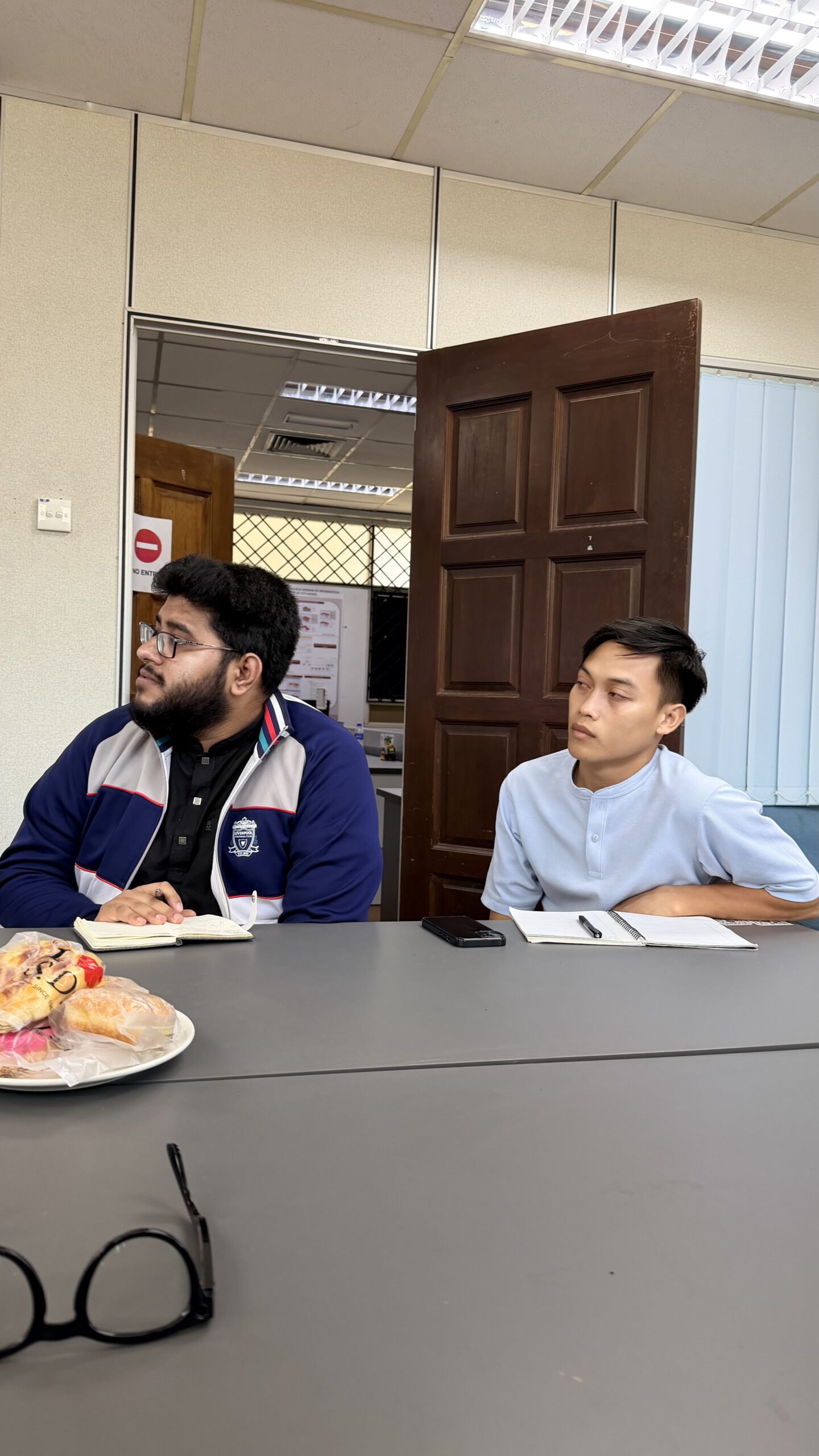
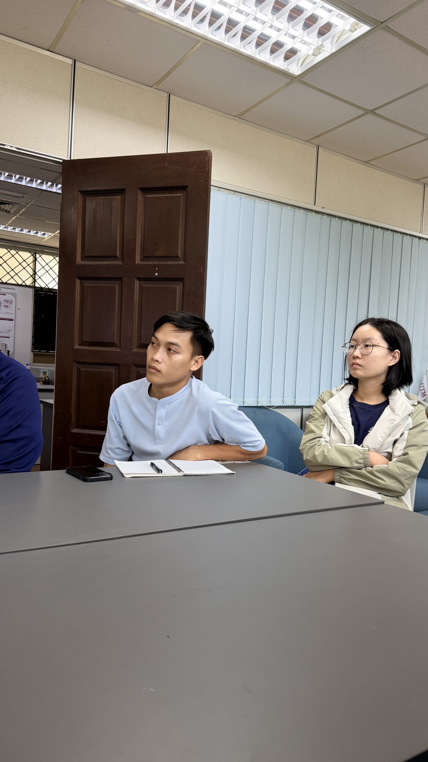
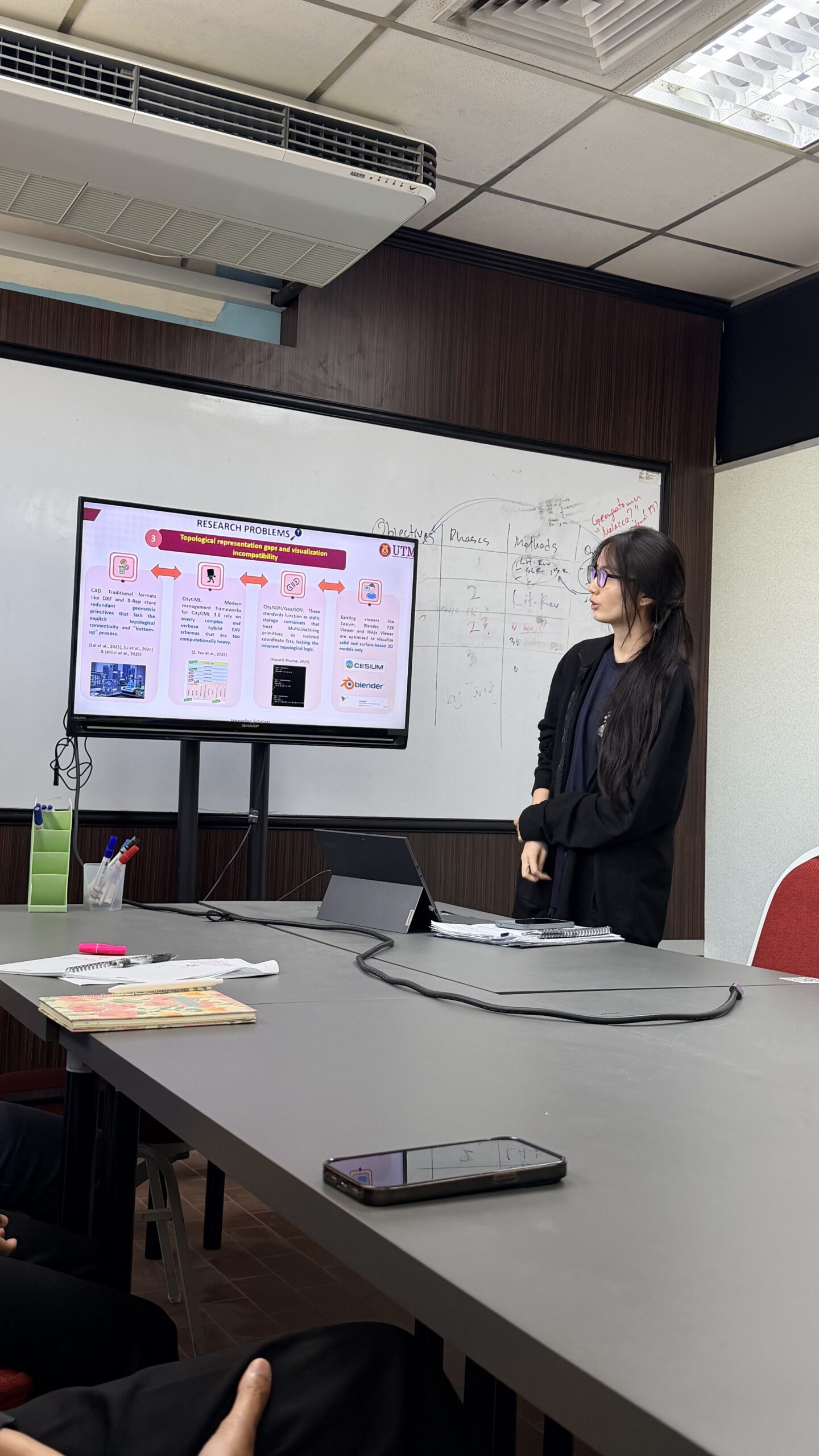
MOCK PRESENTATION SESSION FOR SAMANTHA

MOCK PRESENTATION SESSION FOR SAMANTHA

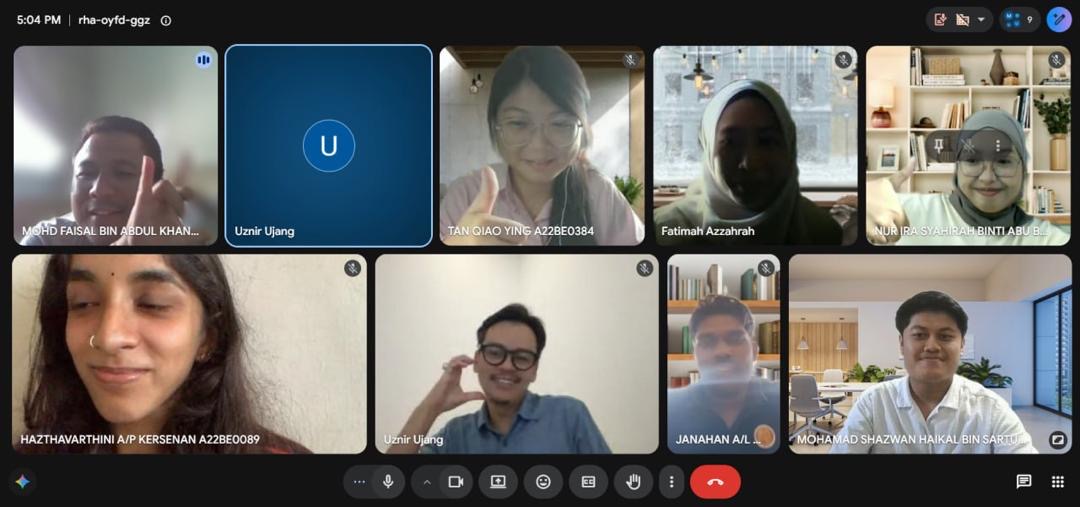
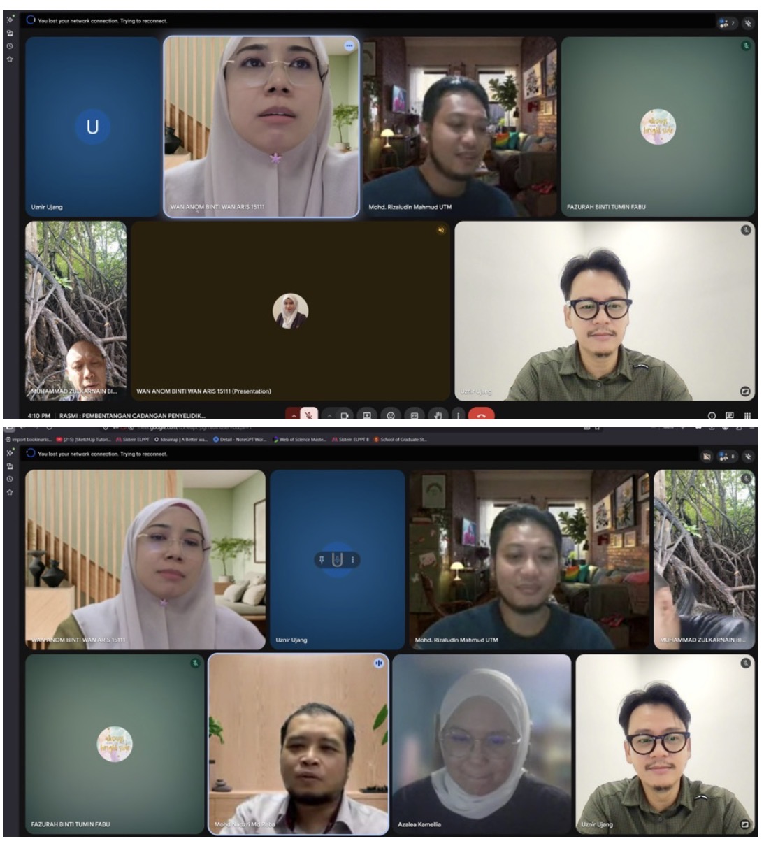
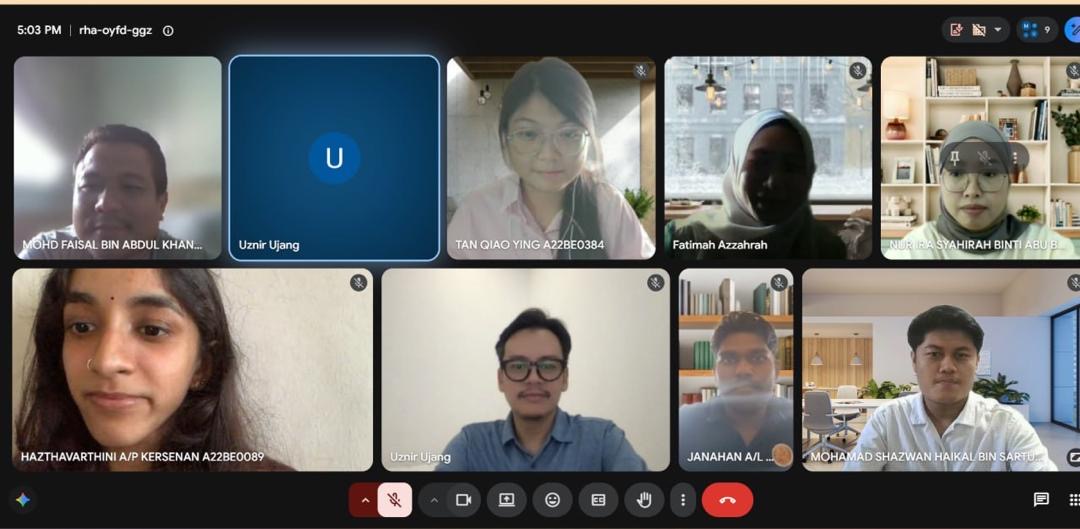
Behind every successful defense is a team that challenges, supports, and inspires. 🎓

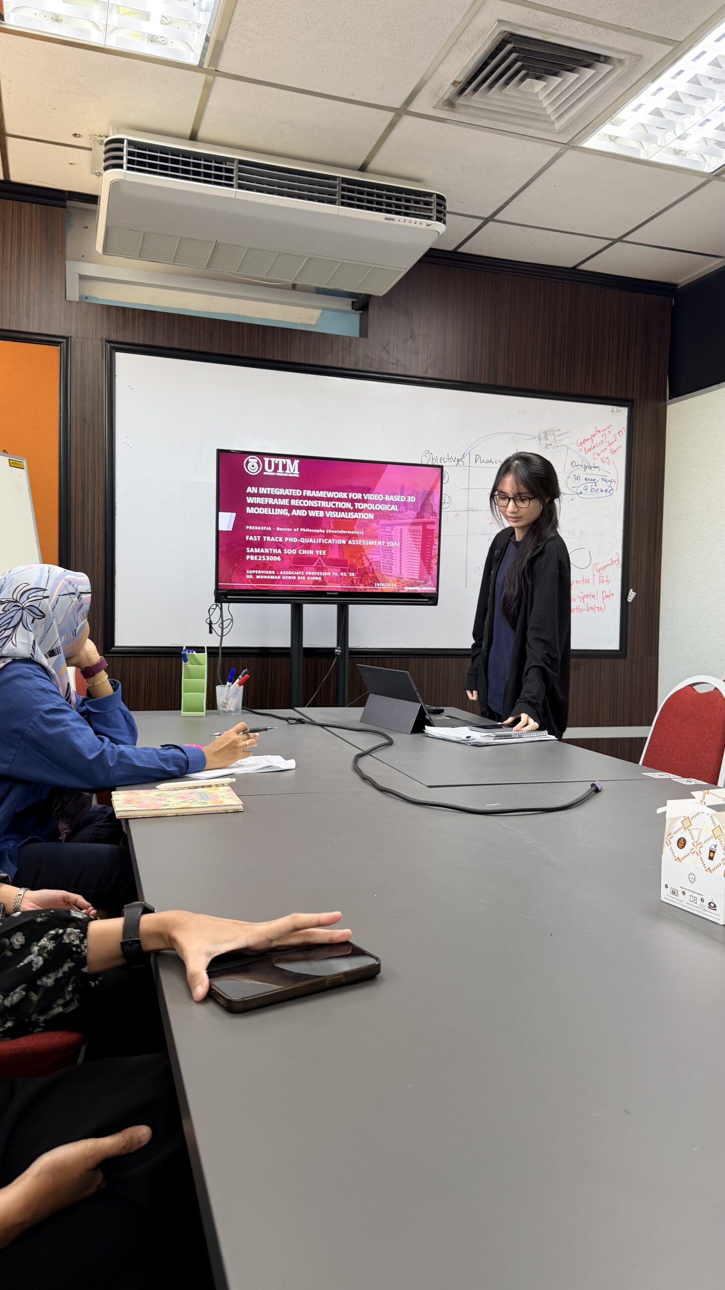
Today, our lab came together for Samantha’s mock presentation session, creating an opportunity to simulate the experience of a real thesis defense. Lab members actively engaged by asking insightful questions, sharing constructive feedback, and offering valuable suggestions to help refine her presentation and strengthen her responses.

Mock presentations are an essential part of the research journey. They build confidence, sharpen critical thinking, and prepare presenters to communicate their work with clarity and confidence.

A sincere thank you to everyone who participated and contributed to today’s session. Your encouragement and thoughtful feedback made the session truly meaningful. We wish Samantha all the best as she takes the next step toward her defense. Keep shining, Sam! 🌟

#LabLife #Research #MockPresentation #PhDJourney #Teamwork
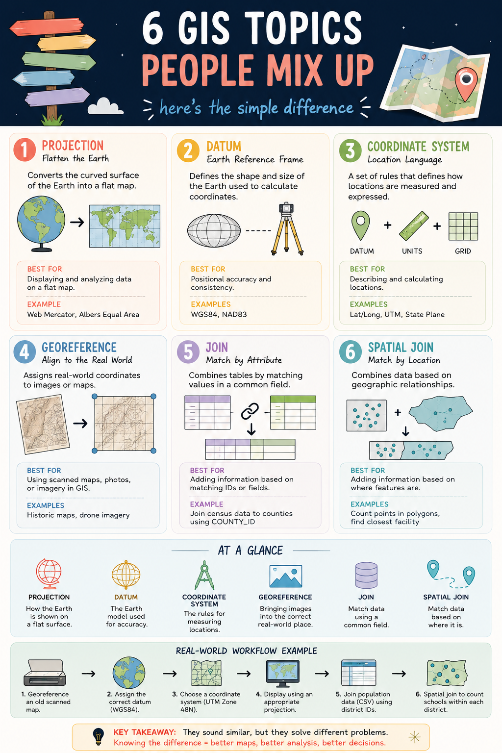
6 GIS CONCEPTS YOU SHOULD NEVER CONFUSE

6 GIS CONCEPTS YOU SHOULD NEVER CONFUSE

Projection. Datum. Coordinate System. Georeferencing. Join. Spatial Join.

They are some of the most commonly used terms in GIS, yet they are also some of the most misunderstood. 🤔

While they may sound similar, each serves a completely different purpose in a geospatial workflow.

📍 Projection transforms the curved Earth into a flat map.

🌍 Datum defines the Earth model used for positioning.

📐 Coordinate System provides the framework for measuring locations.

🗺️ Georeferencing aligns maps and images to real-world coordinates.

🔗 Join connects data using a shared attribute or ID.

📌 Spatial Join connects data based on geographic location.

Understanding the difference between these concepts can save you from common GIS mistakes such as misplaced data, incorrect measurements, failed analyses, and inaccurate maps.

A simple way to remember them:

✅ Projection = How the Earth is displayed

✅ Datum = The Earth model behind the coordinates

✅ Coordinate System = How locations are measured

✅ Georeferencing = Putting data in the correct place

✅ Join = Match by attribute

✅ Spatial Join = Match by location

The better we understand these fundamentals, the more reliable our maps, analyses, and decisions become.

Which of these six concepts was the most confusing when you first started learning GIS?

#GIS #Geospatial #SpatialAnalysis #Mapping #GISLearning

ANOTHER AFTERNOON, ANOTHER PROPOSAL DEFENCE SESSION 🎓

Screenshot

ANOTHER AFTERNOON, ANOTHER PROPOSAL DEFENCE SESSION 🎓

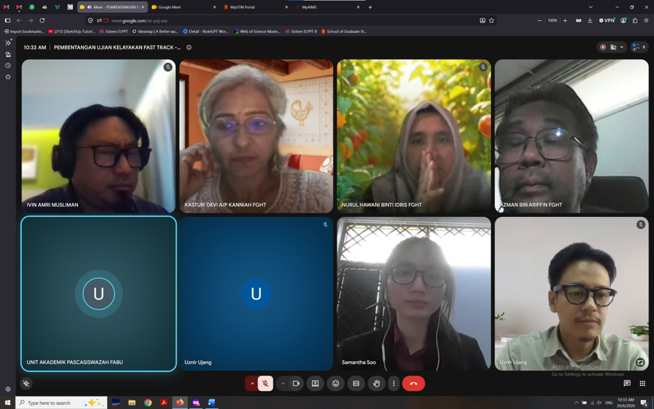
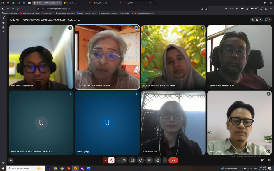
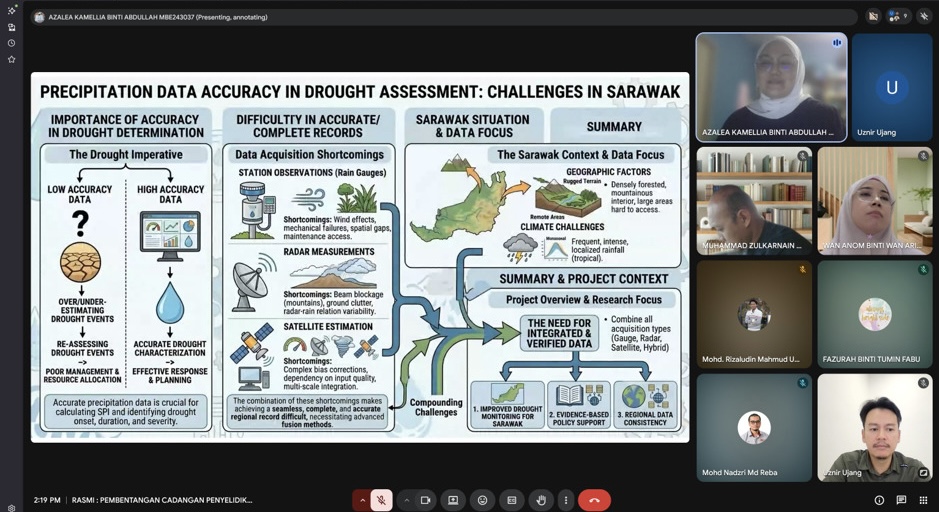
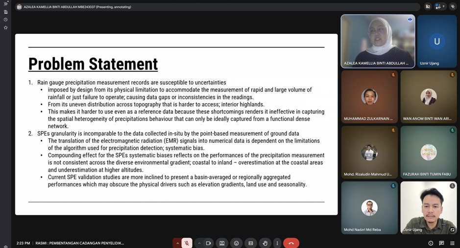
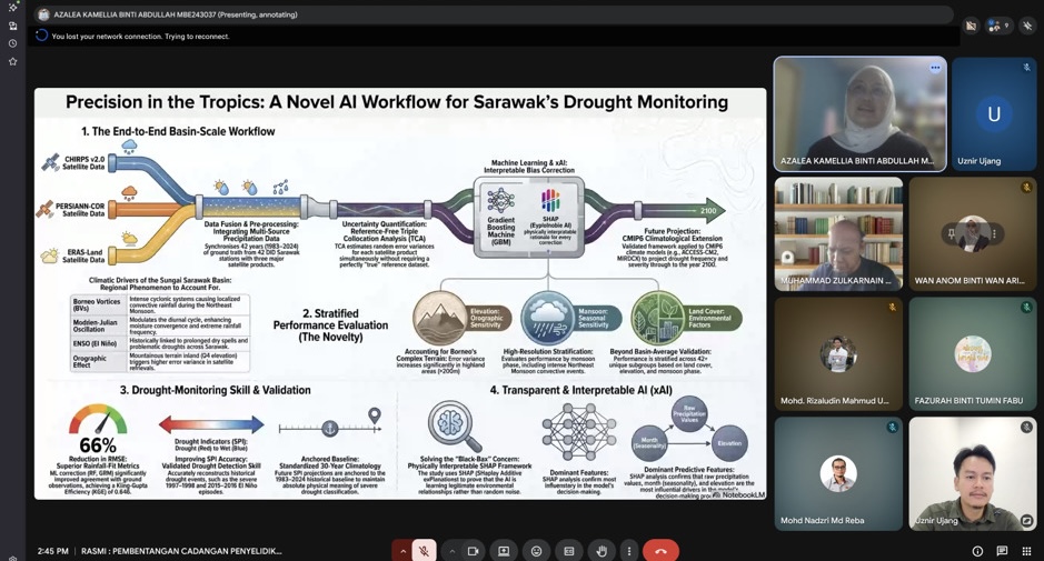
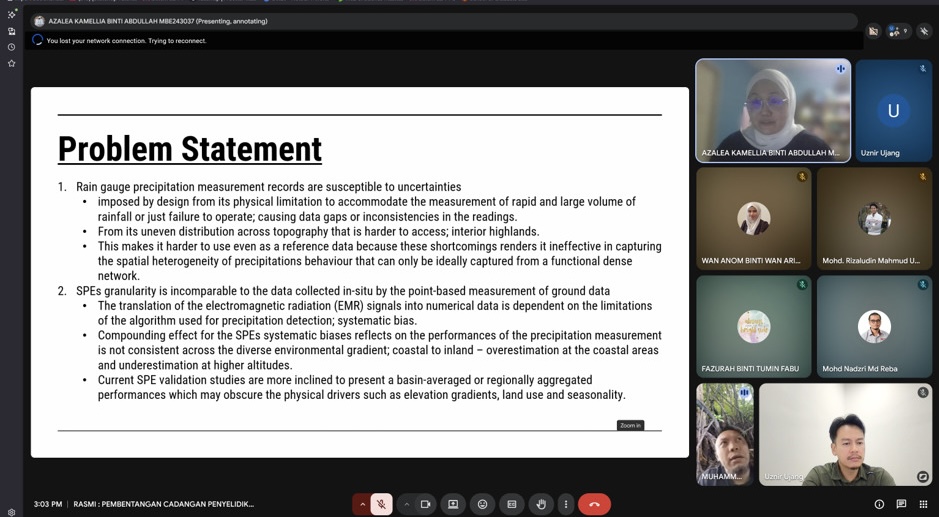
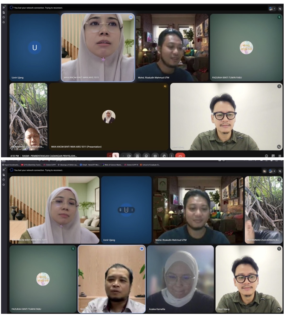
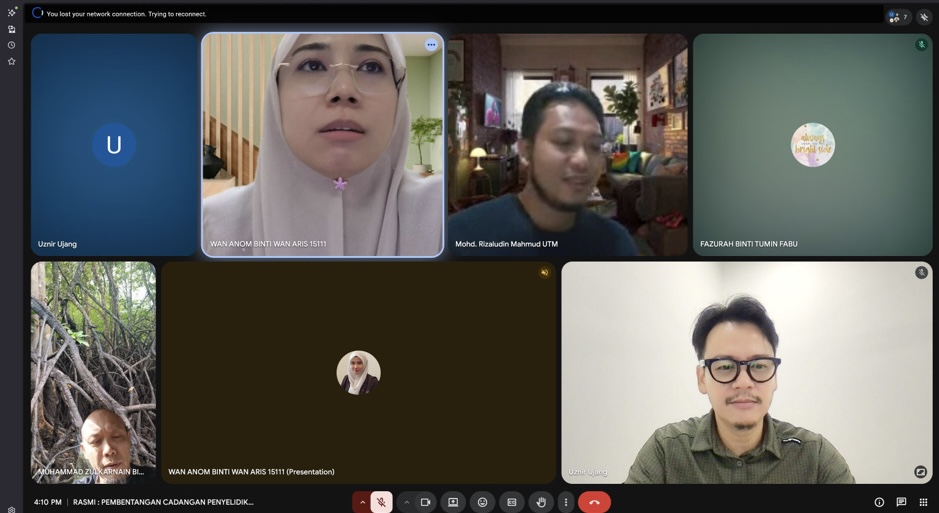
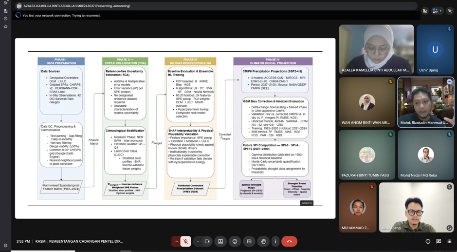
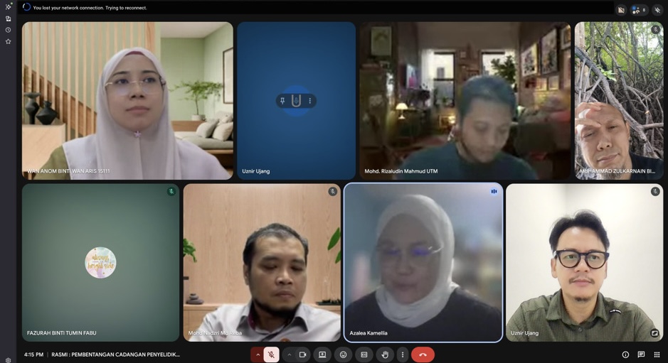
I had the opportunity to serve as the Chairman for a MPhil Proposal Defence session involving Azalea Kamellia Binti Abdullah, whose research focuses on:

“Systematic Calibration of Satellite Precipitation Estimates for Drought Measurement.”

One thing that made this session particularly interesting was that the candidate comes from industry. It is always encouraging to see professionals from industry pursuing advanced research and bringing real-world challenges into academia.

Research on satellite-based precipitation estimation and drought monitoring is becoming increasingly important, especially as climate variability and extreme weather events continue to impact water resources, agriculture, and environmental management. Bridging remote sensing technology with practical decision-making is an area with significant potential and impact.

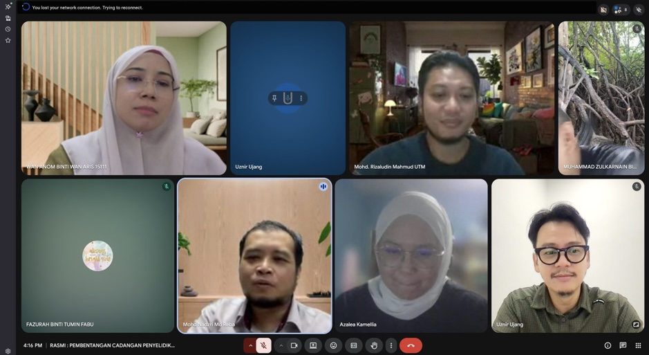
The session was joined by:

  • Prof. Madya Sr Dr. Muhammad Zulkarnain Abdul Rahman
  • Dr. Mohd Rizaludin Mahmoud

Alhamdulillah, everything went smoothly. The candidate presented her work confidently, the discussions were constructive, and the feedback provided will undoubtedly help strengthen the research moving forward.

Congratulations to Azalea on reaching this important milestone. Wishing you all the best as you continue your MPhil journey.

One thing I always enjoy about these sessions is seeing the exchange of ideas between academia and industry. When both worlds come together, research becomes not only academically rigorous but also practically relevant.

#ProposalDefence #PhDJourney #RemoteSensing #DroughtMonitoring #AcademicLife
THE SHAPEFILE SECRET EVERY GIS USER SHOULD KNOW

THE SHAPEFILE SECRET EVERY GIS USER SHOULD KNOW

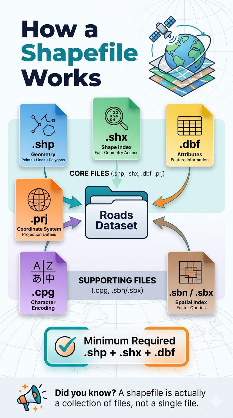
Many GIS beginners assume a shapefile is a single file. It is not. 👀
A shapefile is actually a collection of files that work together to store geographic data and its associated information.

📍 .shp stores the geometry (points, lines, and polygons)
📍 .shx provides an index for fast access to features
📍 .dbf stores the attribute data linked to each feature
📍 .prj defines the coordinate reference system (CRS)
📍 .cpg manages character encoding
📍 .sbn / .sbx improve spatial query performance

✅ Minimum files required for a valid shapefile dataset:
.shp + .shx + .dbf

Without these three core files, most GIS software will not be able to properly read the dataset.

💡 Pro tip: When sharing shapefiles, always send the entire folder or compress all related files into a ZIP archive. Sending only the .shp file is one of the most common GIS mistakes.

Understanding these file components is a small detail that can prevent big headaches in your GIS workflow.

Have you ever received a shapefile that would not open because some files were missing?

#GIS #Geospatial #Shapefile #SpatialData #GISLearning