
Tag: application

Development of a Web-Based Application for Managing Student Final Year Projects Repository
By Shahabuddin Amerudin Introduction In today’s digital age, managing and accessing academic data efficiently is crucial for educational institutions. This article provides a comprehensive overview ... Read More
Mobile GIS Software: Advancements and Applications
By Shahabuddin Amerudin Abstract Mobile Geographic Information Systems (GIS) have fundamentally transformed the approach to spatial data collection, analysis, and visualization by leveraging the capab... Read More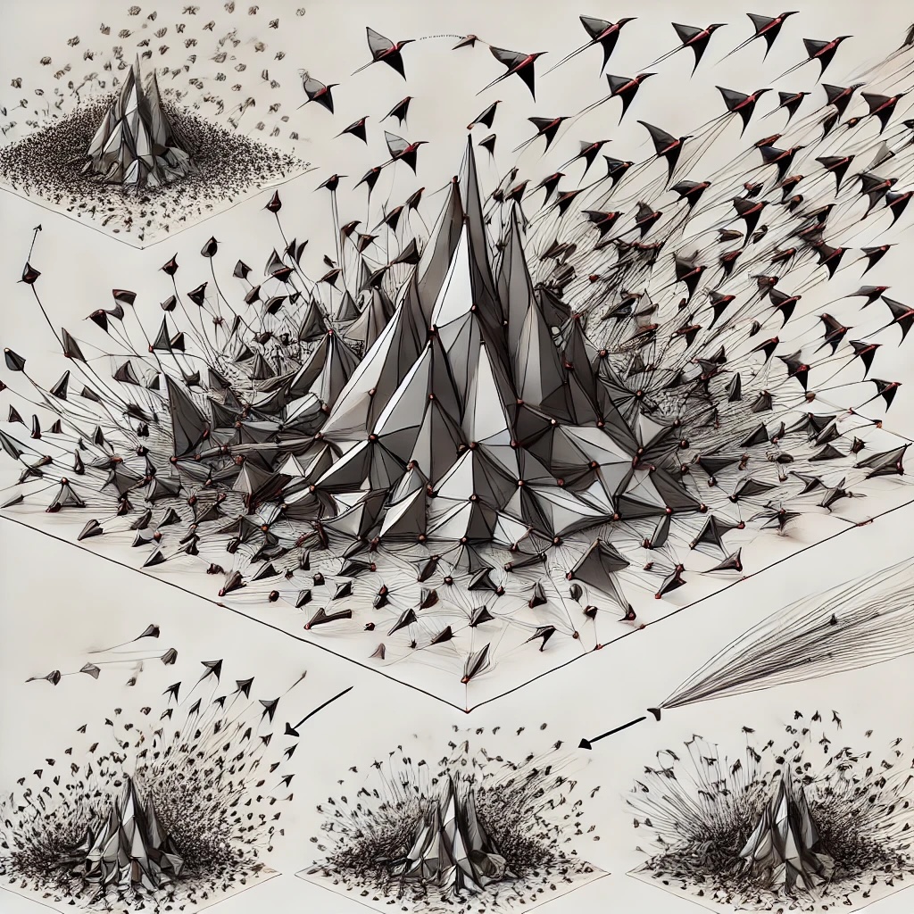
Algoritma Boids: Pemodelan Tingkah Laku Kolektif dalam Sistem Multi-Agen
Oleh Shahabuddin Amerudin 1. Pengenalan Algoritma Boids, yang diperkenalkan oleh Craig Reynolds pada tahun 1986, adalah model simulasi yang direka untuk meniru tingkah laku kawanan burung, ikan, atau ... Read More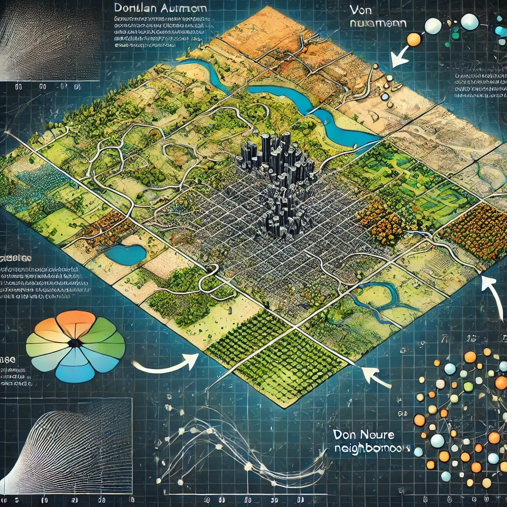
Penggunaan Automata Selular dalam Sistem Maklumat Geografi (GIS)
Oleh Shahabuddin Amerudin Automata selular adalah model matematik yang digunakan untuk memodelkan sistem yang terdiri daripada entiti individu yang berinteraksi mengikut peraturan mudah tetapi menghas... Read More
Developing an Automated Student-Supervisor Matching System for Academic Institutions: A Case Study
By Shahabuddin Amerudin Abstract The allocation of supervisors to students for research guidance is a critical process in academic institutions, particularly at the undergraduate level. This paper pre... Read More
Exploring the Quantum Frontier: Quantum Computing’s Transformative Potential in Geographic Information Systems (GIS)
By Shahabuddin Amerudin Introduction In the ever-evolving landscape of computing, quantum technology stands out as a promising frontier that has the potential to reshape how we approach complex proble... Read More
Fostering Innovation in Government GIS Applications: A Comprehensive Comparison of Methodologies
By Shahabuddin Amerudin In recent years, the advancement of Geographic Information Systems (GIS) has transformed the way government agencies operate and interact with their constituents. The integrati... Read More
Harnessing the Power of GIS and Geospatial Data: Architecture, Applications, and Advancements
By Shahabuddin Amerudin In today’s rapidly evolving technological landscape, Geographic Information Systems (GIS) have emerged as indispensable tools that bridge the gap between geography and da... Read More
Developing Web Map-Based Applications
By Shahabuddin Amerudin Introduction Web map-based applications have transformed how we interact with geographic information, enabling us to explore, analyze, and visualize data on interactive maps. T... Read More
GIS Applications That Demand Sub-Meter Accuracy
By Shahabuddin Amerudin Sub-meter accuracy is essential for a variety of Geographic Information System (GIS) applications that require precise spatial data collection, mapping, and analysis. Here are ... Read More
Understanding Location Accuracy Requirements in Various Applications
By Shahabuddin Amerudin Introduction Location accuracy plays a vital role in numerous applications, enabling precise positioning, navigation, and tailored experiences. Different applications have vary... Read More
Leveraging GIS Software for Efficient Infrastructure Management in Rapidly Urbanizing Cities
By Shahabuddin Amerudin Introduction Rapid urbanization presents significant challenges for cities worldwide, requiring effective infrastructure management and urban planning strategies. The evolution... Read More
SDK and API for GIS Software and Application Development
Suggestion for Citation: Amerudin, S. (2023). SDK and API for GIS Software and Application Development. [Online] Available at: https://people.utm.my/shahabuddin/?p=6270 (Accessed: 3 April 2023).... Read More
Software Development Kits (SDKs) and Application Programming Interfaces (APIs)
Suggestion for Citation: Amerudin, S. (2023). Software Development Kits (SDKs) and Application Programming Interfaces (APIs). [Online] Available at: https://people.utm.my/shahabuddin/?p=6268 (Accessed... Read More
