
Tag: PSM

Development of a Web-Based Application for Managing Student Final Year Projects Repository
By Shahabuddin Amerudin Introduction In today’s digital age, managing and accessing academic data efficiently is crucial for educational institutions. This article provides a comprehensive overview ... Read More
Pengkategorian Tahap Cabaran Projek Sarjana Muda dalam Bidang GIS
Oleh Shahabuddin Amerudin Dalam bidang Geographic Information Systems (GIS), Projek Sarjana Muda (PSM) boleh dikategorikan mengikut tahap cabaran, iaitu rendah, sederhana, dan tinggi. Memahami perbeza... Read More
Projek Sarjana Muda dalam Bidang GIS: Pilihan dan Tahap Kesukaran
Oleh Shahabuddin Amerudin Dalam bidang Geographic Information Systems (GIS), Projek Sarjana Muda (PSM) boleh dikategorikan mengikut tahap kesukaran, dari yang tinggi hingga sederhana. Memahami perbeza... Read More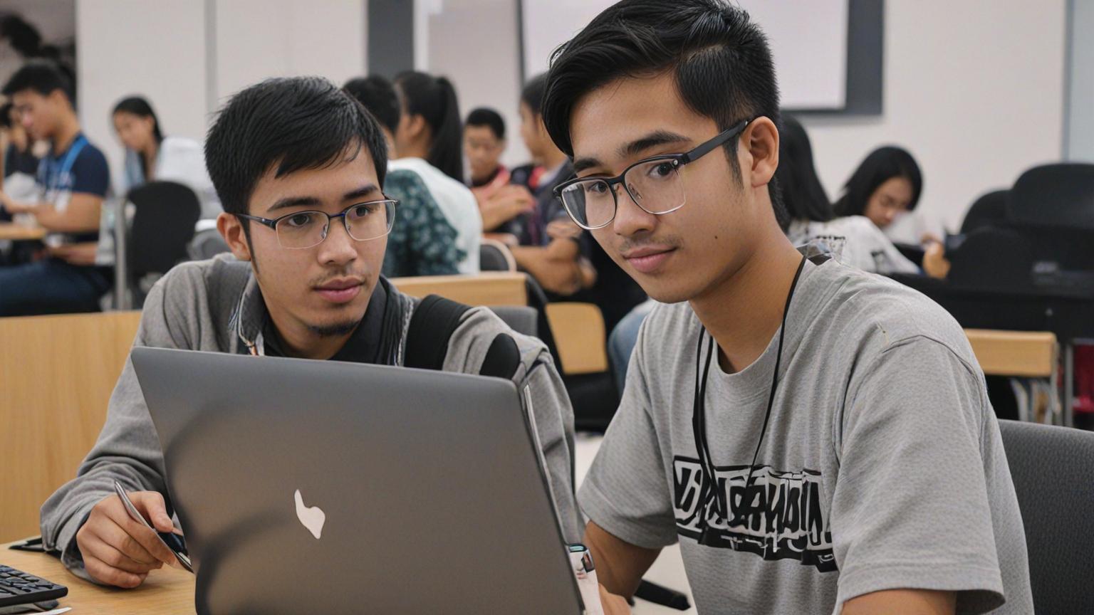
Ciri-Ciri Pelajar Cemerlang dalam Projek Sarjana Muda
Oleh Shahabuddin Amerudin Projek Sarjana Muda (PSM) merupakan langkah terakhir dan paling kritikal dalam perjalanan akademik seorang pelajar di peringkat ijazah sarjana muda di universiti. Ia adalah s... Read More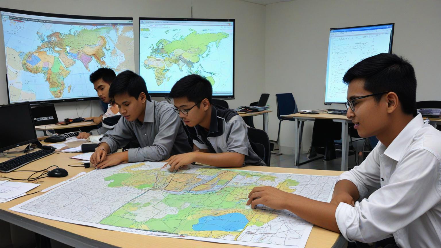
Kunci Kejayaan dalam Projek Sarjana Muda: Sifat dan Sokongan yang Diperlukan
Oleh Shahabuddin Amerudin Projek Sarjana Muda (PSM) adalah satu batu loncatan penting dalam perjalanan akademik seorang pelajar di universiti. Ia bukan sekadar satu tugasan akhir, tetapi merupakan man... Read More
Developing an Automated Student-Supervisor Matching System for Academic Institutions: A Case Study
By Shahabuddin Amerudin Abstract The allocation of supervisors to students for research guidance is a critical process in academic institutions, particularly at the undergraduate level. This paper pre... Read More
Development of A Web Map-Based Muslim Cemetery Application in Kangkar Pulai
Alhamdulillah… Praise be to God, and with His blessings, I am delighted to share the successful completion of another undergraduate dissertation under my supervision. Muhammad Syafiq bin Mat Tah... Read More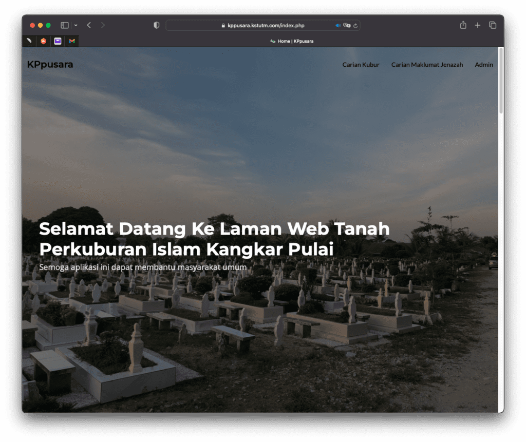
KPpusara Website: Laman Web Tanah Perkuburan Melayu Kangkar Pulai
By Shahabuddin Amerudin URL: https://kppusara.kstutm.com Presenting the remarkable and forward-thinking project developed by Muhammad Syafiq bin Mat Tahir, a final year student pursuing a Bachelor of ... Read More
Kunjungan dari bekas pelajar – Sdri. Azne Hazira bt. Sukor
Hari ini seorang bekas pelajar PSM saya, Sdri. Azne Hazira bt Sukor telah datang ke UTM Johor Bahru di atas urusan pengesahan dokumen dan mengambil kesempatan untuk menziarahi saya. Beliau sekarang be... Read More
Development of Web-Based Application for GIS Data Format Coordinate System Conversion
By Elysonia Alim and Shahabuddin Amerudin (Supervisor) Unpublished 2018 4th Year Undergraduate Project’s Technical Paper It is difficult to process GIS vector data when they are not aligned with... Read More
