View

The Evolving Landscape of GIS Software Systems: From Command Lines to the Cloud, AI & Beyond
View
The Future of Geographic Information Systems
View

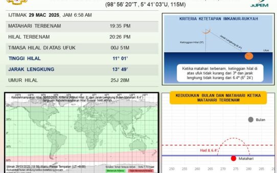
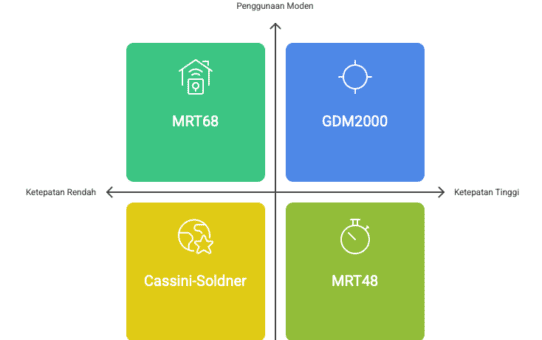
Sejarah dan Evolusi Sistem Koordinat di Malaysia
View
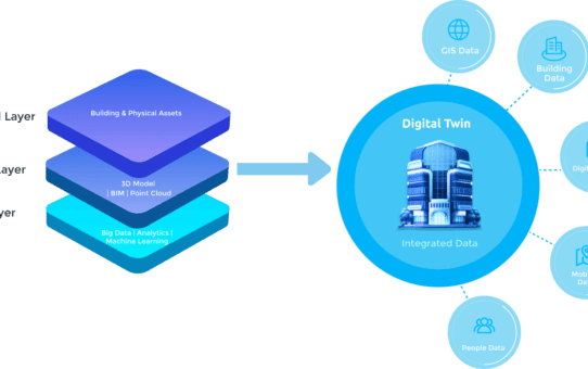
Advancing Digital Twins and GIS Integration
View

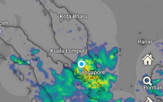
Singapore’s Country-Scale Digital Twin A Revolutionary Model for Smart Cities
View
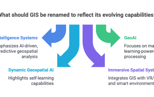
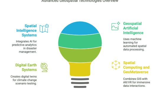
The Future of GIS and the Evolution of Emerging Concepts and Terminology
View
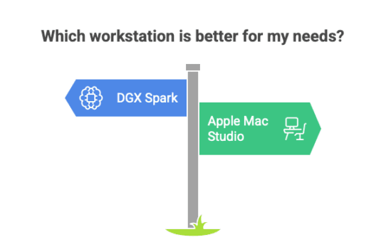
NVIDIA DGX Spark vs. Apple Mac Studio: Which AI Workstation Reigns Supreme?
View
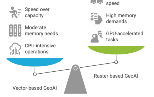
Optimizing Hardware for Vector-Based GeoAI
View
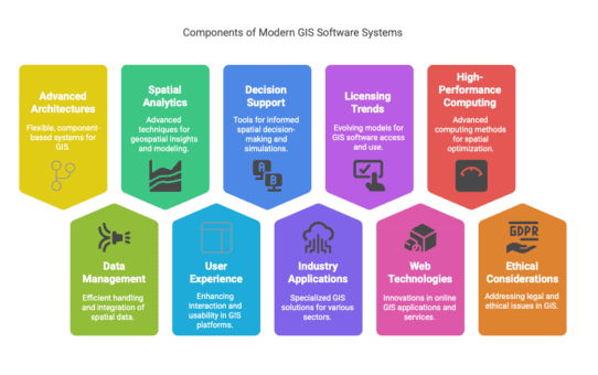
Advancing Modern GIS Software Systems: Key Technologies, Innovations, and Future Directions
View

Apple’s M4 Pro: A Game-Changer for AI and Machine Learning Professionals
View

Development of a Web-Based Application for Managing Student Final Year Projects Repository
View

Development of a Student Absence Submission System