
Tag: cemetery
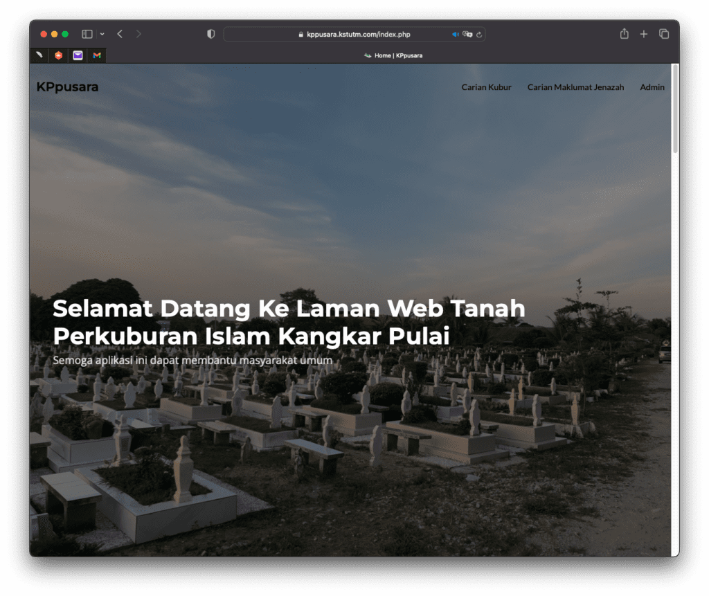
KPpusara Website: Laman Web Tanah Perkuburan Melayu Kangkar Pulai
By Shahabuddin Amerudin URL: https://kppusara.kstutm.com Presenting the remarkable and forward-thinking project developed by Muhammad Syafiq bin Mat Tahir, a final year student pursuing a Bachelor of ... Read More
