
Tag: planning

The Influence of Street Network Configurations on Urban Planning and Population Dynamics
By Shahabuddin Amerudin Introduction Urban planning is a multifaceted discipline that orchestrates the development and organization of cities to optimize functionality, sustainability, and livability.... Read More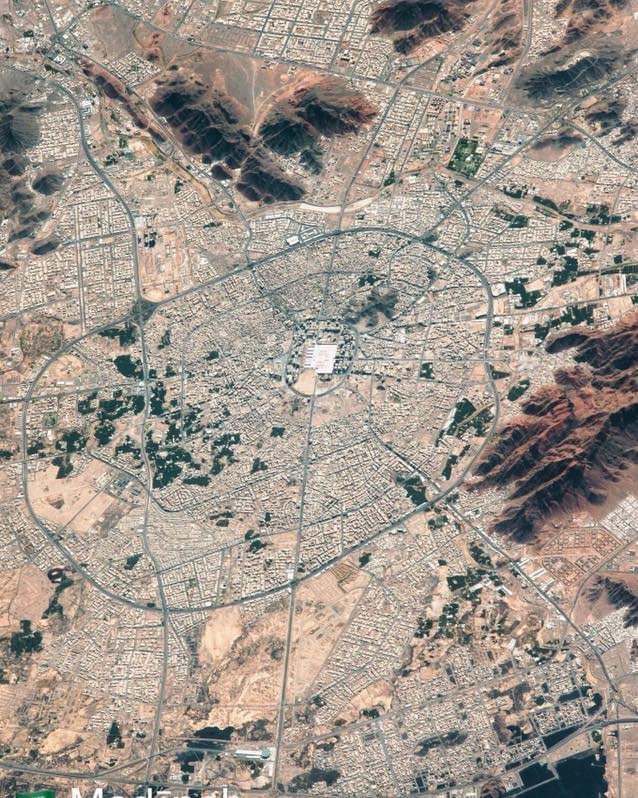
The Satellite Image of Medina: A Glimpse into the Heart of Islamic History
By Shahabuddin Amerudin The satellite image provided offers a breathtaking aerial view of Medina, one of the holiest cities in Islam. Located in the Hejaz region of Saudi Arabia, Medina is a city stee... Read More
