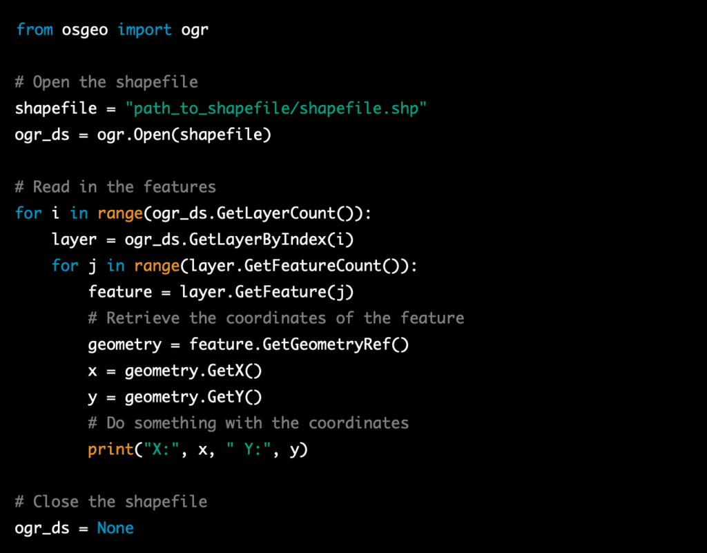
Here is an example of how to read in features and coordinates from an ESRI Shapefile using Python in a script using the OGR library:

In this example, the code will open the shapefile, read in the features and coordinates, and then output the coordinates to the console. You can replace this step with your own code to do something with the features and coordinates, such as displaying them on a map or storing them in a database.
In order to read in features and coordinates from an ESRI Shapefile using Python, you will need to import the OGR library. The OGR library is part of the GDAL library, which is a powerful library for working with GIS data. The OGR library is used to read and write vector data, it supports a variety of vector formats including ESRI Shapefile.
In the example I provided before, the library is imported at the beginning of the script using the following line of code:

This line imports the OGR library, allowing you to use its functions and methods to read in features and coordinates from the shapefile.
It’s important to note that you may need to install GDAL library to use the OGR library, you can install it via pip by running pip install gdal in your command prompt or terminal.

