Maps are more than mere navigational tools; they are the result of the fascinating blend of science and art known as cartography. Cartography, often described as the science and art of mapmaking, encompasses a wide array of skills and knowledge that enable cartographers, those who specialize in this field, to represent our planet’s complex features, spatial data, and geographic information in visually appealing and informative ways. The discipline of cartography has a rich history, and its applications are as diverse as the world it seeks to depict.
The Foundations of Cartography
Map Design
One of the foundational elements of cartography is map design. Cartographers meticulously craft maps, carefully considering layout, colors, symbols, and labels. The goal is to ensure that a map is not only informative but also visually engaging and easy to interpret. A well-designed map can convey intricate information while retaining its aesthetic appeal.
Map Projections
One of the inherent challenges in cartography is translating the three-dimensional Earth onto a two-dimensional map. This process involves map projections, mathematical transformations used to depict the Earth’s surface on a flat plane. Different map projections have varying advantages and trade-offs, leading cartographers to choose the most appropriate one based on their objectives.
Symbolization
Symbols and icons play a critical role in cartography. Cartographers select these representations to convey physical and cultural features on maps. Standardized symbols and a legend accompany maps to ensure that users can easily interpret the information presented. Whether it’s denoting mountains, rivers, or landmarks, symbolization is a cornerstone of mapmaking.
Scale
Determining the appropriate scale for a map is paramount. Scale defines the relationship between distances on the map and actual distances on the Earth’s surface. Depending on the map’s purpose, cartographers carefully choose scales to ensure that the map effectively communicates information. From large-scale maps focusing on minute details to small-scale maps illustrating broad regions, each scale serves a unique purpose.
Data Integration
Cartography often involves integrating diverse types of data. Geographical, geological, demographic, and environmental data are harmonized to create comprehensive and informative maps. This synthesis of information enables cartographers to illustrate complex interactions and relationships within a geographic context.
Digital Mapping
In the digital age, cartography has witnessed a profound transformation. Digital cartography leverages Geographic Information Systems (GIS) software and other digital tools to create, analyze, and share maps efficiently. This modern approach has expanded the possibilities of mapmaking, offering dynamic and interactive mapping applications.
Diverse Applications of Cartography
The applications of cartography are as diverse as the fields it serves. Here are some notable areas where cartography plays a vital role:
Geography
Geographers rely on cartography to understand and communicate spatial patterns, distributions, and relationships. Maps help geographers analyze everything from population distribution and climate patterns to land use and transportation networks.
Urban Planning
Urban planners use cartography to design cities, manage infrastructure, and optimize resource allocation. Maps are indispensable tools for visualizing the complex interplay of urban elements.
Environmental Science
Environmental scientists use maps to monitor ecosystems, track habitat changes, and assess the impact of human activities on the environment. Maps help convey the urgency of environmental challenges.
Geology
Geological maps showcase the distribution of rocks, minerals, and geological features. These maps are invaluable for resource exploration, hazard assessment, and understanding Earth’s geological history.
Transportation
Maps underpin transportation networks and logistics planning. Whether it’s designing road systems, optimizing flight paths, or managing shipping routes, cartography is integral to transportation.
Navigation
Maps have been essential for navigation throughout history, guiding travelers on land and sea. Modern navigation systems continue to rely on cartography for accurate positioning and route planning.
Disaster Management
In disaster management, maps provide critical information for emergency responders and planners. They help assess vulnerability, plan evacuation routes, and coordinate disaster relief efforts.
Historical Cartography and Ethical Considerations
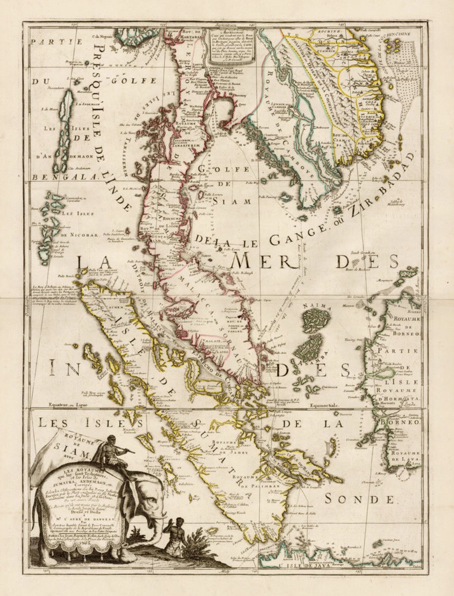
Cartography also delves into historical exploration and mapping. Historians and enthusiasts study antique maps, which offer insights into the knowledge and perceptions of past civilizations. Understanding the development of cartographic techniques over time sheds light on the evolution of human understanding of the world.
Moreover, cartography is not just about data and aesthetics; it carries ethical responsibilities. Cartographers must consider the ethical and social aspects of their work. This includes issues related to privacy, representation, and the responsible use of geographic data. Maps have a profound influence on decision-making, public perception, and policy development, making ethical considerations paramount.
In conclusion, cartography is an ever-evolving field that blends science and art to represent the world around us. Its applications span diverse domains, from geography and environmental science to urban planning and disaster management. As technology continues to advance, cartography’s role in our understanding of the world remains as relevant and crucial as ever. Whether you’re navigating a new city, exploring the mysteries of the Earth’s surface, or analyzing complex spatial data, cartography is your trusted guide to understanding the world we inhabit.