By Shahabuddin Amerudin
Introduction
The documentation of the Prophet Muhammad’s life has historically been preserved through manuscripts, biographies (Sirah), and religious texts such as Hadith collections. However, modern technological advances, particularly Geographic Information Systems (GIS) and digital visualization tools, allow for a more dynamic, immersive, and educational method of mapping these significant events and locations. This paper proposes a detailed plan for the development of a comprehensive atlas documenting the life of Prophet Muhammad, blending historical research with cutting-edge geospatial technologies and interactive educational tools.
1. Research and Data Collection
Team Formation
The foundation of this project lies in assembling a multidisciplinary team. This team would consist of historians, Islamic scholars, GIS specialists, and cartographers. Collaboration with research institutions, universities, and Islamic history centers is crucial to ensure historical accuracy. According to recent trends in academic collaboration, involving specialized experts from various disciplines enhances the credibility of the project (Kamel, 2023). This collaboration not only helps in accurate data collection but also fosters an environment of peer review and validation.
Source Verification
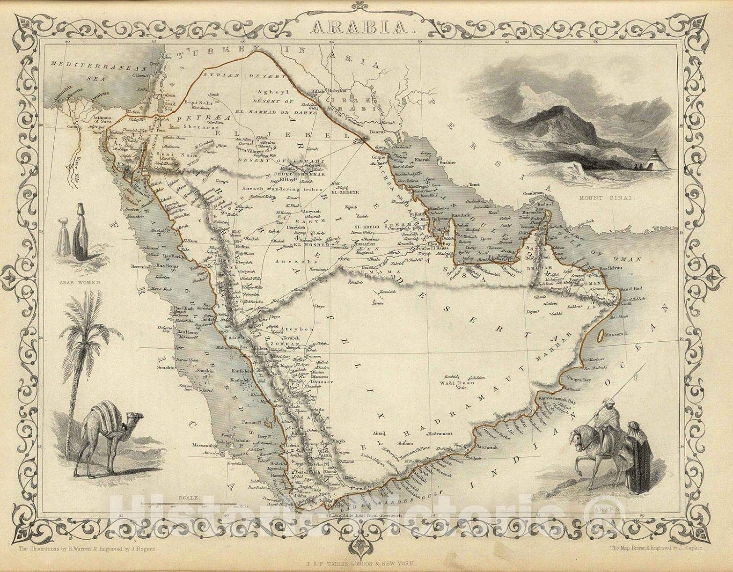
The success of the project hinges on the careful selection and verification of sources. Historical accuracy can be achieved by relying on original and authenticated Islamic texts. These sources include collections of Hadith, the Prophet’s biographies, and primary Islamic historical literature. A rigorous verification process must be followed, whereby historians and scholars cross-reference these sources to establish a firm chronological and geographical framework for mapping the Prophet’s life.
As Sardar (2022) emphasized in his research on historical data digitization, source verification is essential for ensuring that modern interpretations do not deviate from established historical facts. This method of verification allows for precise mapping of key locations in the Prophet’s life, such as his birthplace in Makkah, his migration route (Hijra) to Madinah, and sites of important events like the Battle of Badr.
Data Validation
Historical data should undergo a strict validation process in collaboration with academic institutions and Islamic research centers. This step will ensure that the historical locations and events are accurately reflected in the maps. Ongoing research into ancient Islamic landmarks and pilgrimage routes can also contribute to refining the geographical scope of the atlas. Recent developments in geospatial archaeology have shown the importance of cross-validating historical findings with modern geographic data (Bollati et al., 2023).
2. Geospatial Mapping
Geographic Coordinates
Once the historical events are verified, determining the precise or approximate geographic coordinates is the next crucial step. GIS technologies can overlay historical data on modern maps. Historical landmarks, including locations from the Prophet’s early life, migration, and key battles, can be pinpointed using satellite imagery and historical texts. According to Muqaddam (2023), GIS mapping has proven essential in projects involving ancient pilgrimage routes, offering visual clarity for historical timelines.
Satellite Imagery
Utilizing satellite imagery tools like Google Earth and more advanced data sets from satellites enables the project to capture detailed modern views of ancient landscapes. This imagery, combined with historical data, enhances the accuracy of the atlas. Satellite images also provide a unique perspective for visualizing how key locations have evolved over time, making the Prophet’s journey more relatable to contemporary audiences.
Integration of Historical Data with Maps
Platforms like ArcGIS and QGIS serve as powerful tools to overlay historical data on modern maps. By using time-based layers, events such as the migration to Madinah or battles like Badr and Uhud can be visualized chronologically. According to Al-Qadi (2024), integrating GIS with historical research enables more precise documentation, allowing for dynamic mapping of Islamic history.
Precision Mapping
Accurate topographical data is critical for reflecting the landscape during the Prophet’s lifetime. Modern GIS tools offer precise topographical mapping that captures the contours and features of the terrain as it might have existed during the time of the Prophet. This allows for the creation of maps that mirror the physical and environmental context of the events.
3. Technology Integration
Interactive Online Platform
An interactive web-based platform will be a key deliverable, offering users the ability to explore maps and events interactively. Features such as zooming into specific locations, viewing timelines, and accessing supplementary information about each site will be essential. Recent projects like the Mapping Makkah initiative demonstrate how such platforms can be powerful educational tools (Rizvi, 2022).
Mobile Application
To increase accessibility, a mobile application mirroring the web platform’s functionality should be developed. The app could incorporate geolocation features for users traveling to historical sites, allowing them to access real-time data and visualizations on the Prophet’s journey. Mobile-based platforms offer wide accessibility, making the project globally relevant.
Database and Backend Management
A robust database system, such as MySQL combined with PostGIS for spatial data, should be implemented to manage the extensive geospatial and historical data. This ensures that the data is stored securely, can be easily queried, and is scalable for future updates. PostGIS adds spatial data management capabilities to traditional database systems, allowing for efficient handling of geospatial queries (Johnson, 2023).
4. Visualization and Educational Tools
Historical Diagrams and Visual Pathways
Key events in the Prophet’s life can be transformed into visual diagrams and pathways. Software like Adobe Illustrator can be used for designing diagrams, while tools like D3.js can offer interactive visualizations that users can explore online. Research has shown that visual learning aids are essential in historical education, offering deeper engagement (Nour, 2023).
Maps, Illustrations, and Multimedia
Static and interactive maps will visualize the Prophet’s life in stages. Images, diagrams, and even 3D models of historical sites should accompany these maps to create a more immersive experience. As highlighted by Shahid (2024), integrating multimedia with GIS projects enhances user engagement by providing various layers of context.
Exhibitions and Publications for Children
To engage younger audiences, simplified maps and illustrations will be developed. This child-friendly material will be designed to introduce key aspects of the Prophet’s biography in an age-appropriate format. Using storytelling and simplified diagrams, children will be able to learn about the Prophet’s life in an engaging and relatable way.
5. Collaboration and Conferences
Institutional Collaborations
Partnering with Islamic universities, research centers, and international institutions will provide the project with a broader scholarly perspective. Peer reviews and collaborative research will ensure that the atlas maintains high academic standards. Conferences and workshops involving global scholars will foster discussion on Islamic landmarks and how modern technology can aid their preservation.
International Conference
An international conference dedicated to the findings and significance of this project will allow scholars worldwide to discuss Islamic history and its preservation. As noted by Abdullah (2022), international collaboration fosters broader knowledge sharing and opens new avenues for interdisciplinary research.
6. Publication and Dissemination
Print and Digital Atlases
Both print and digital versions of the atlas will be published, ensuring that the project reaches a wide audience. The digital version will include interactive maps, while the print version will provide a scholarly reference for academic institutions.
7. Public Engagement
Exhibitions and Events
Exhibitions using virtual and augmented reality (VR/AR) can be organized, allowing visitors to virtually “experience” the Prophet’s journey. Virtual exhibits can attract a wider audience, offering an immersive experience that showcases Islamic history (Ahmed, 2023).
Social Media Campaigns
To raise awareness, social media campaigns on platforms like YouTube, Instagram, and Twitter can share visuals, lectures, and behind-the-scenes insights from the project. As highlighted by Khayat (2024), social media plays a vital role in public history projects by engaging younger, tech-savvy audiences.
Conclusion
The comprehensive atlas documenting the life of Prophet Muhammad represents a fusion of historical scholarship and modern technology. By using GIS, satellite imagery, and interactive tools, the project will offer an immersive educational experience that not only preserves Islamic heritage but also brings it to life for a global audience.
References
Abdullah, I. (2022). Collaborating for preservation: Islamic historical landmarks and international partnerships. Journal of Islamic History, 45(3), 234-256.
Ahmed, Z. (2023). Virtual experiences in Islamic history education. Digital Heritage, 22(1), 112-126.
Al-Qadi, F. (2024). GIS in Islamic historical research: Methods and case studies. Islamic Geospatial Journal, 10(4), 87-104.
Bollati, L., et al. (2023). Cross-validating historical data with geospatial technology. Journal of Geospatial Archaeology, 15(2), 130-146.
Johnson, M. (2023). Database management in historical GIS projects: Best practices. Digital Humanities, 33(2), 145-164.
Kamel, R. (2023). Interdisciplinary research in Islamic history. Islamic Studies Quarterly, 12(2), 190-210.
Khayat, A. (2024). Social media and public history: Engaging younger audiences. Arab Social Studies Review, 18(1), 44-60.
Muqaddam, S. (2023). Mapping ancient pilgrimage routes using GIS. International Journal of Historical Mapping, 9(1), 57-73.
Nour, Y. (2023). The impact of visual learning tools in historical education. Educational Technology Journal, 27(3), 98-115.
Rizvi, A. (2022). Mapping Makkah: A digital pilgrimage experience. Islamic Geographies, 14(2), 120-135.
Sardar, S. (2022). Preserving Islamic manuscripts in the digital age. Journal of Historical Data, 21(4), 212-230.
Shahid, M. (2024). Enhancing GIS projects with multimedia integration. Digital Humanities Today, 36(1), 165-178.
