By Shahabuddin Amerudin 3 October 2024
UTM JOHOR BAHRU: As the new academic session kicks off on October 6, 2024, faculty members and staff at the Faculty of Built Environment and Surveying, Universiti Teknologi Malaysia (UTM) are preparing to welcome students and start the first semester of the 2024/2025 academic year with high spirits. As a leading educational institution in the field of Geoinformation, the Department of Geoinformation is dedicated to providing quality education and innovative research to meet the evolving needs of the global community.
A significant change taking place at UTM is the restructuring of the faculties, effective October 1, 2024. As part of this effort, the Geoinformation Program is now officially recognized as the Department of Geoinformation. This change also sees the title of Director replaced with Head of Department, reflecting a more specific role in managing this rapidly growing department. This rebranding opens opportunities for the Department of Geoinformation to continue strengthening its reputation nationally and internationally while ensuring the delivery of relevant and high-quality programs.
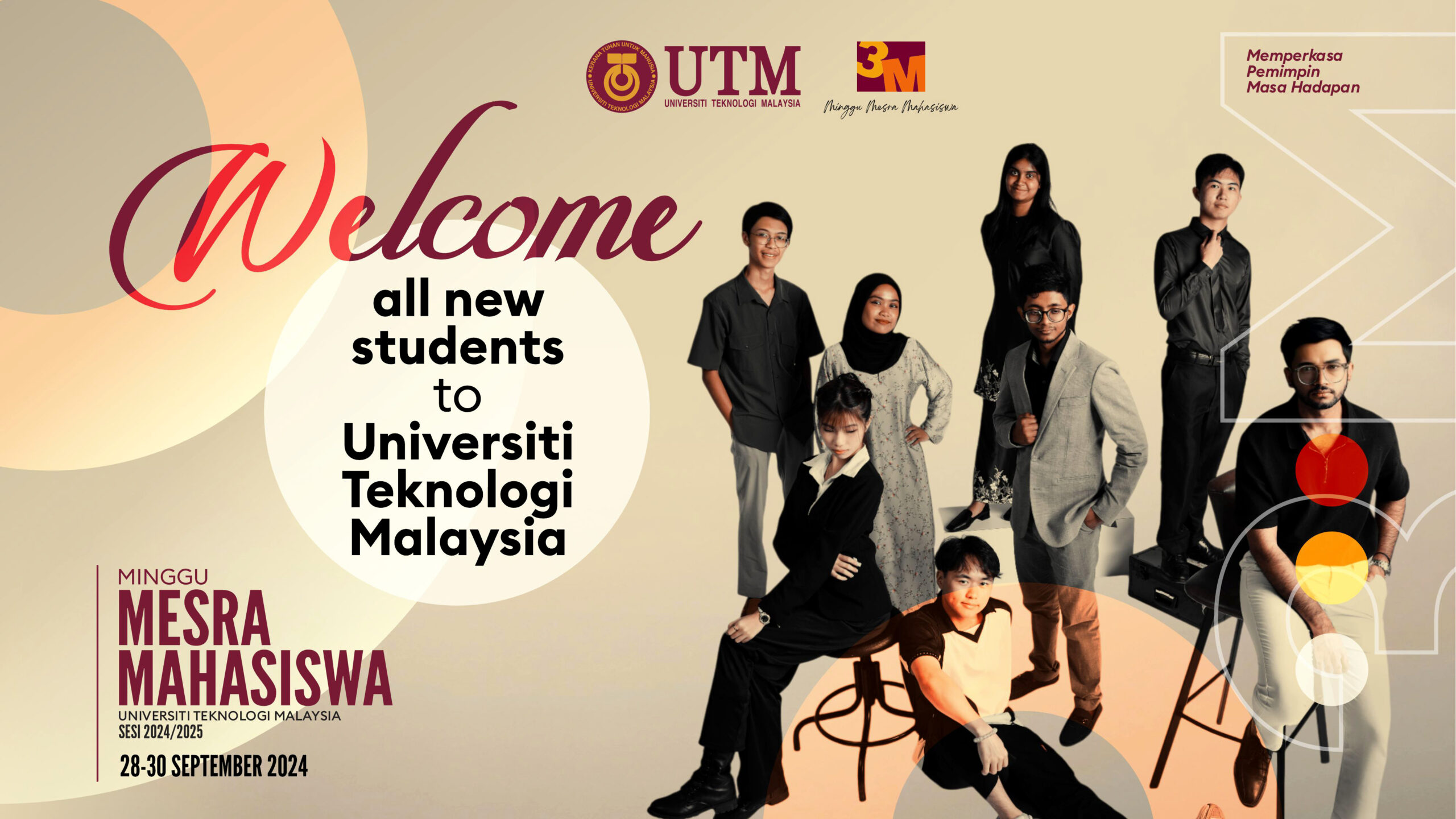
To enhance undergraduate education, the Department of Geoinformation has successfully attracted a significant number of new students. The registration of undergraduate students on September 28, 2024, saw 144 new students enrolling in two main programs. The Bachelor of Engineering (Honors) in Geomatics (SBEUH) welcomed 83 students, while the Bachelor of Science (Honors) in Geoinformation (SBEGH) recorded 61 students. Registration data for the Geomatics Program reveals that there are 13 students from matriculation, 1 from STPM (Malaysian Higher School Certificate), 4 from foundation studies, and 65 from diploma programs. In the Geoinformatics Program, the latest data shows there are 52 students from STPM, matriculation, and foundation studies, along with 10 diploma students. These numbers reflect a strong confidence in the quality of the academic programs, which effectively combine theoretical knowledge with practical skills necessary for the dynamic industry.
At the postgraduate level, the Department of Geoinformation is also witnessing an increase in student enrollment. The registration for postgraduate students, which commenced on October 2, 2024, is still ongoing, and so far, 12 students have registered for PhD programs in Geomatics, Geoinformatics, and Remote Sensing. The Master of Philosophy program has attracted 8 students, while an additional 6 students have enrolled in the Master’s by Course Work. The department hopes to enhance international marketing efforts to attract more postgraduate students from around the globe, especially as the field of Geoinformation plays an increasingly vital role in addressing global issues such as climate change, disaster management, and smart city development.
The Department of Geoinformation offers accredited academic programs designed to meet industry demands, equipping students with various skills in geospatial data acquisition and collection technologies, geospatial data processing and analysis, as well as the development of critical Geographic Information Systems (GIS) applications for decision-making. The uniqueness of these programs lies in their research-based learning approach and close collaboration with both public and private sectors, allowing students to gain valuable and competitive industry experience.
Through ongoing efforts to enhance teaching and research quality, the Department of Geoinformation frequently invites the international community to participate in its programs, which have proven capable of producing outstanding and competent graduates in the geospatial field. For students from diverse educational backgrounds, the Department of Geoinformation provides opportunities to enhance their knowledge, whether through undergraduate admissions from matriculation, STPM, foundation studies, or diploma programs, or through postgraduate pathways for further studies.
Faculty members and staff welcome students and researchers from around the world to join them in expanding new horizons in the field of Geoinformation. The Department of Geoinformation at UTM remains committed to being a leader in impactful research and providing a holistic educational platform that aligns with the ever-pressing global needs.


