By Shahabuddin Amerudin
Introduction
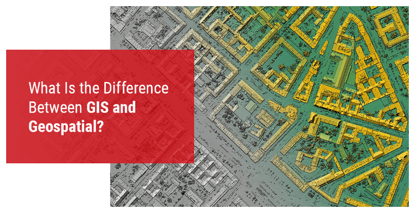
Geospatial and Geographic Information Systems (GIS) are often used interchangeably, leading to misconceptions regarding their scope and application. While both concepts are interrelated and contribute significantly to spatial sciences, they possess distinct characteristics and functions. This article aims to provide a critical examination of the definitions, roles, and implications of Geospatial and GIS, addressing their similarities, differences, and evolving significance in modern technological applications.
Defining Geospatial and GIS
The term “Geospatial” is derived from “Geo,” meaning Earth, and “Spatial,” referring to space. It broadly encompasses any data, technology, or method that pertains to geographic locations (Goodchild, 2018). Geospatial is an overarching term that includes a wide range of technologies such as satellite imagery, remote sensing, and location-based data analytics (Longley et al., 2015).
Conversely, GIS is a specialized system that integrates hardware, software, and data for capturing, managing, analyzing, and visualizing geospatial data. GIS allows for the storage and manipulation of spatial data in layers, making it an essential tool for urban planning, environmental management, and disaster response (Burrough & McDonnell, 1998). Unlike the broad nature of geospatial technology, GIS is explicitly designed for structured spatial data handling.
Geospatial Data and Its Evolution
Geospatial data refers to information that has a geographic component, including coordinates, addresses, and administrative boundaries. This data is crucial for decision-making in various fields such as agriculture, logistics, and public health (Cressie & Wikle, 2011). The importance of geospatial data has significantly increased since the 1990s with advancements in computational power and data collection techniques (Goodchild, 2009). The growth of location-based services and the Internet of Things (IoT) has further fueled the demand for geospatial data.
Geospatial Technology and Its Applications
Geospatial technology encompasses tools and techniques used to collect, process, and analyse geographic information. This includes Global Positioning System (GPS), Light Detection and Ranging (LiDAR), satellite imaging, and remote sensing technologies (Jensen, 2016). The applications of geospatial technology are diverse, ranging from climate change monitoring to intelligent transportation systems (Miller & Goodchild, 2015).
While GIS is an integral part of geospatial technology, it is not synonymous with the term. GIS focuses on the integration and visualization of geospatial data, whereas geospatial technology includes broader technological innovations such as drones and big data analytics (Tomlinson, 2007).
Critique of the Interchangeability of Geospatial and GIS
One of the most common misconceptions in the industry is the interchangeable use of the terms “geospatial” and “GIS.” While GIS is a subset of geospatial technology, the latter encompasses a broader spectrum of methodologies, tools, and applications. Many discussions attempt to differentiate GIS and geospatial technology, but they often lack depth in illustrating how GIS operates within the overarching geospatial paradigm. The definition of GIS provided in many sources primarily emphasizes its software capabilities, yet it fails to adequately highlight its analytical, modeling, and decision-support functionalities, which are critical in various fields such as urban planning, environmental management, and public health (Longley et al., 2015). Furthermore, the discussion on geospatial technology should not be confined to hardware and software but should also incorporate emerging advancements such as artificial intelligence (AI)-driven spatial analytics, cloud-based geospatial platforms, and real-time geospatial big data processing. These innovations are reshaping the way spatial data is collected, analyzed, and utilized, extending the scope and impact of geospatial sciences beyond traditional GIS applications.
Future Directions and Conclusion
With the increasing importance of spatial data in governance, business intelligence, and environmental science, understanding the distinctions between geospatial and GIS is crucial. The future of geospatial technology lies in advancements such as AI-driven geospatial analytics, real-time data processing, and the integration of GIS with machine learning for predictive modeling (Batty, 2018).
While the discussion effectively introduces key concepts, it tends to oversimplify the complexities inherent in geospatial sciences. A more comprehensive approach would involve examining the technological advancements in geospatial tools and their interdisciplinary applications. Providing clearer distinctions between geospatial technology and GIS will enable researchers, professionals, and policymakers to make more informed decisions regarding spatial data utilization.
References
Batty, M. (2018). Inventing future cities. MIT Press.
Burrough, P. A., & McDonnell, R. A. (1998). Principles of geographical information systems. Oxford University Press.
Cressie, N., & Wikle, C. K. (2011). Statistics for spatio-temporal data. John Wiley & Sons.
Goodchild, M. F. (2009). NeoGeography and the nature of geographic expertise. Journal of Location Based Services, 3(2), 82-96.
Goodchild, M. F. (2018). Reimagining the history of GIS. Annals of GIS, 24(1), 1-8.
Jensen, J. R. (2016). Introductory digital image processing: A remote sensing perspective. Pearson.
Longley, P. A., Goodchild, M. F., Maguire, D. J., & Rhind, D. W. (2015). Geographic information science and systems. John Wiley & Sons.
Miller, H. J., & Goodchild, M. F. (2015). Data-driven geography. GeoJournal, 80(4), 449-461.
Tomlinson, R. (2007). Thinking about GIS: Geographic information system planning for managers. ESRI Press.
