
Tag: gdm2000
Sistem Koordinat di Malaysia Secara Ringkas
Oleh Shahabuddin Amerudin Pengenalan Sistem koordinat di Malaysia telah berkembang secara progresif dari zaman penjajahan hingga era moden. Perubahan ini mencerminkan keperluan untuk ketepatan geodeti... Read More
Sejarah dan Evolusi Sistem Koordinat di Malaysia
Oleh Shahabuddin Amerudin Pengenalan Malaysia merupakan sebuah negara yang mempunyai kepentingan besar dalam pembangunan sistem koordinat dan pemetaan, terutamanya bagi tujuan geodetik, pemetaan, dan ... Read More
The Origins of Surveying in Malaysia: A Historical Overview
By Shahabuddin Amerudin Early Beginnings (1832-1880s) Establishment of State Survey Departments (1885 onwards) The need for accurate surveys to support land registration led to: Early Datums and Grid ... Read More
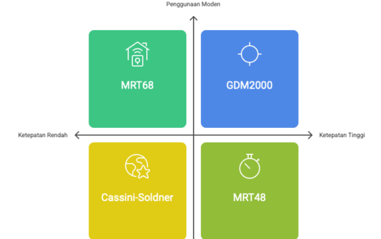
GDM2000, GDM2000 (Rev2006), GDM2000 (Rev2009), GDM2000 (Rev2016) and GDM2020
In addressing the effects of plate tectonic motion due to natural disasters such as earthquakes on the coordinates reference system and vertical datum systems for the whole country, JUPEM has successf... Read More
Development of Web-Based Application for Shapefile Coordinate System Conversion for Malaysia
Elysonia Alim and Shahabuddin Amerudin Department of Geoinformation, Faculty of Geoinformation and Real Estate, Universiti Teknologi Malaysia, 81310 Skudai, Johor, Malaysia Email: elysoniaalim@gmail.c... Read More
