
Category: Project

Analysis Phase of a Web and Mobile Integrated Mapping System
By Shahabuddin Amerudin The analysis phase of a web and mobile integrated mapping system is a vital part of the system development process, where all requirements are gathered, assessed, and organiz... Read More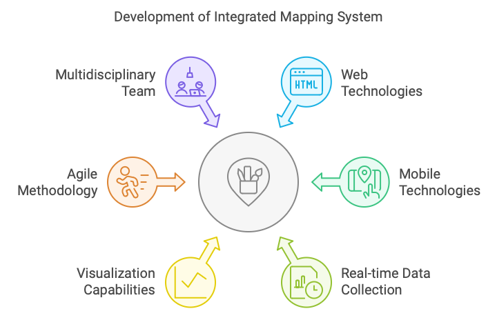
System Analysis and Design: Development of a Web and Mobile Integrated Mapping System for Environmental Monitoring
By Shahabuddin Amerudin In recent years, environmental monitoring has become increasingly crucial for conservation efforts, leading to the development of innovative systems that leverage web and mobil... Read More
System Analysis and Design: The Development of a Smart Healthcare System
One of the latest innovations in computer systems is the development of Smart Healthcare Systems, which integrate advanced technologies such as Artificial Intelligence (AI), the Internet of Thing... Read More
Peranan AI dalam Pembangunan Perisian dan Aplikasi
Oleh Shahabuddin Amerudin Kecerdasan Buatan (AI) kini menjadi salah satu teknologi teras dalam pembangunan perisian dan aplikasi, membawa revolusi dalam cara perisian dibina, diuji, dan diselenggara. ... Read More
Mengimbangi Peranan Universiti dan Industri dalam Pembangunan Teknologi
Universiti sering dianggap sebagai pusat inovasi dan pembangunan teknologi. Di sinilah teori-teori baru diasah, penyelidikan mendalam dijalankan, dan teknologi baru direka serta diuji. Dalam konteks i... Read More
Media Sosial dan GIS Untuk Pengumpulan dan Analisis Data Ruang
Oleh Shahabuddin Amerudin Pengenalan Dalam era digital ini, media sosial telah berkembang menjadi platform yang bukan sahaja digunakan untuk berinteraksi secara sosial, tetapi juga sebagai sumber da... Read More
Implementing a Comprehensive Atlas Documenting the Life of Prophet Muhammad
By Shahabuddin Amerudin Introduction The documentation of the Prophet Muhammad’s life has historically been preserved through manuscripts, biographies (Sirah), and religious texts such as Hadith... Read More
King Abdulaziz Foundation Uses Advanced Technology to Map Prophet Muhammad’s Steps
By Shahabuddin Amerudin Introduction The integration of modern technology with historical research is transforming the way we understand and preserve the past. One such remarkable endeavor is the proj... Read More
Isu dan Cabaran dalam Sistem Alamat Nasional Malaysia
Oleh Shahabuddin Amerudin AbstrakSistem Alamat Nasional di Malaysia menghadapi beberapa isu dan cabaran yang boleh menjejaskan keberkesanannya. Artikel ini membincangkan masalah utama dalam sistem ala... Read More
Pembangunan Sistem Alamat Nasional di Malaysia
Oleh Shahabuddin Amerudin Abstrak Sistem alamat yang tersusun dan bersepadu merupakan komponen penting dalam perancangan bandar, pengurusan infrastruktur, dan pembangunan ekonomi sesebuah negara. Art... Read More
From AHP to GWR in Sinkhole Susceptibility Modeling with Advanced GIS Methods
Introduction Rosdi et al. (2017) made significant strides in understanding sinkhole susceptibility in Kuala Lumpur and Ampang Jaya by combining Geographic Information Systems (GIS) with the Analytical... Read More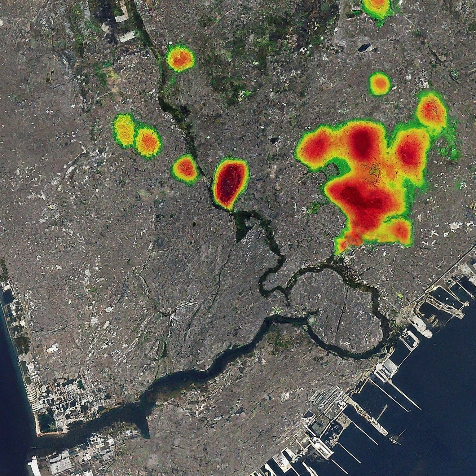
Advancing Urban Planning with GeoAI through Global Street Network Analysis
By Shahabuddin Amerudin Introduction Geographic Artificial Intelligence (GeoAI) integrates Geographic Information Systems (GIS) with artificial intelligence (AI), offering advanced capabilities for ur... Read More
Leveraging GIS for Enhanced Urban Planning Insights from Global Street Networks
By Shahabuddin Amerudin Introduction Geographic Information Systems (GIS) have become indispensable tools in urban planning, offering the capability to analyze spatial data and derive actionable insig... Read More
The Influence of Street Network Configurations on Urban Planning and Population Dynamics
By Shahabuddin Amerudin Introduction Urban planning is a multifaceted discipline that orchestrates the development and organization of cities to optimize functionality, sustainability, and livability.... Read More
Boids Algorithm for Simulating Crowd Movement in Urban Planning and Disaster Management
By Shahabuddin Amerudin Abstract The ability to accurately simulate crowd movement during emergencies is critical in urban planning and disaster management, as it helps design effective evacuation str... Read More
Pengkategorian Tahap Cabaran Projek Sarjana Muda dalam Bidang GIS
Oleh Shahabuddin Amerudin Dalam bidang Geographic Information Systems (GIS), Projek Sarjana Muda (PSM) boleh dikategorikan mengikut tahap cabaran, iaitu rendah, sederhana, dan tinggi. Memahami perbeza... Read More
Ciri-Ciri Pelajar Cemerlang dalam Projek Sarjana Muda
Oleh Shahabuddin Amerudin Projek Sarjana Muda (PSM) merupakan langkah terakhir dan paling kritikal dalam perjalanan akademik seorang pelajar di peringkat ijazah sarjana muda di universiti. Ia adalah s... Read More
Development of a Web-Based Application for Matching Students with Supervisors Using a Weighted Scoring Algorithm
By Shahabuddin Amerudin Abstract This paper presents the development of a web-based application designed to automate the matching process between students and supervisors. The application leverages a ... Read More
