Pendidikan dan Latihan sebagai Keperluan untuk Profesionalisme dalam Bidang GIS
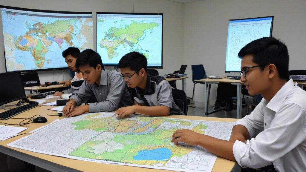
Pindaan Rang Undang-Undang Juruukur Tanah Berlesen (Pindaan) 2024 membawa perubahan besar dalam pendidikan dan latihan dalam bidang Sistem Maklumat Geografi (GIS). Pindaan ini memperkenalkan keperluan piawaian dan pengawalan yang lebih ketat, yang memberi kesan langsung kepada individu dan organisasi yang terlibat dalam kerja-kerja GIS, termasuk mereka yang hanya mengikuti kursus pendek dalam tempoh satu hingga tiga hari, atau beberapa minggu berbanding dengan pendidikan formal yang mengambil masa sehingga empat tahun. Kursus pendek sering digunakan untuk memperkenalkan konsep asas atau kemahiran praktikal dalam GIS kepada profesional yang ingin meningkatkan kemahiran mereka dengan cepat. Namun, dengan adanya pindaan undang-undang ini, timbul keperluan […]
Pendidikan dan Latihan sebagai Keperluan untuk Profesionalisme dalam Bidang GIS Read More »